Path of the Paddle: The Migizi & Iinoo Oowan Trails
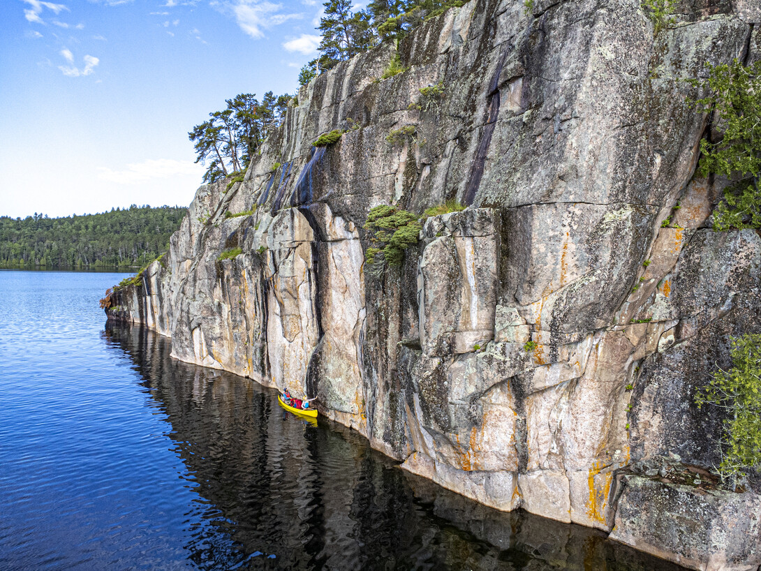
Migizi is the Ojibway word for eagle and Iinoo Oowan is a phrase meaning canoe route—you’ll experience both travelling on the western extremity of Path of the Paddle.
The Migizi Trail works its way west and east, connecting the town of Vermillion Bay and the city of Kenora. Along the way, it passes through old growth red pine stands and soaring cliffs, and always drifts atop turquoise water as it passes by campsite after campsite.
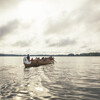
The Iinoo Oowan Trail begins below the Keewatin Dam in Kenora and follows the Winnipeg River down through Minaki before it leaves Ontario and finds its finish in Manitoba on Whiteshell Lake. While the route from Kenora to Minaki is subject to change depending on the water levels of the river, the route is always a scenic trip through bedrock shelves and sandy beaches. Paddlers will also begin to see oak trees along the shores, planted hundreds of years earlier by the voyageurs journeying from the Ottawa River.
These two areas are unique in that they allow paddlers to feel the pull of the backcountry with the options of staying in luxury yurts or stopping at a water-access fishing lodge for a gourmet meal.
Here’s how to plan your visit.
Find out more about Planning a Path of the Paddle Canoe Trip and the other water trails composing the route.
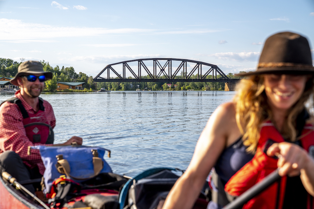
If you have one day
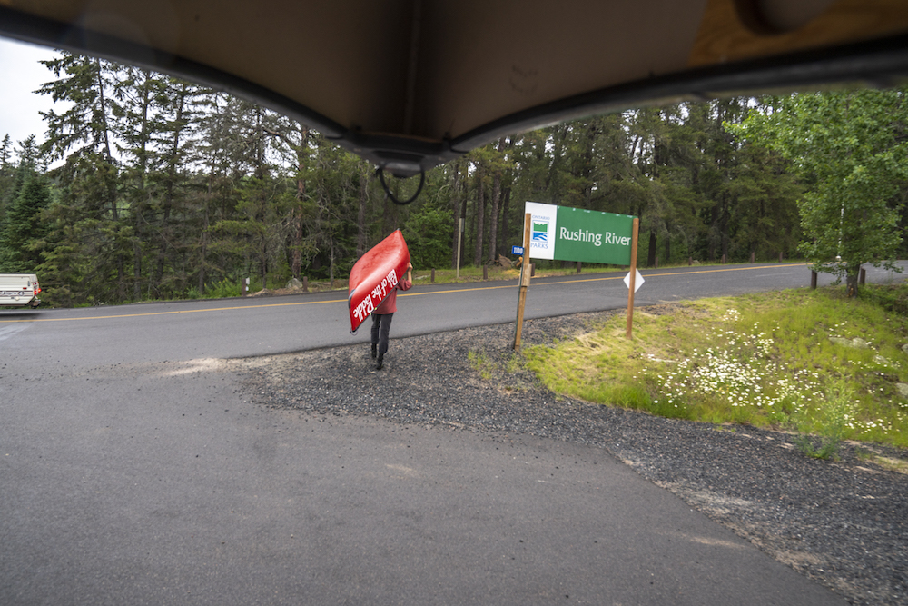
Full of cascades and swimming pools with hiking trails all around, Rushing River Provincial Park and Dogtooth Lake are the best places to spend a day on the Migizi Trail. The Park is open for camping, but visitors can also stay just downstream at Camp Waterfall on Blindfold Lake. The rustic cabins are located beside a small waterfall featuring great fishing and swimming with paddling opportunities all around.
If you only have one day to paddle on the Iinoo Oowan Trail, Minaki is the perfect destination. A short paddle to the north on Gun Lake, paddlers will find maintained campsites that are perfect for a picnic lunch amongst the islands and bays of the Winnipeg River. For a true Minaki experience, spend the night at Minaki Yurt Adventures in one of their glamorous yurts on the water.
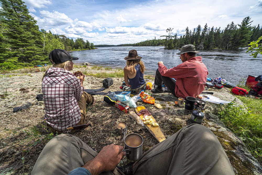
If you have one weekend
Gale Lake on the Migizi Trail is a perfect out and back weekend getaway that delivers paddlers quickly to the backcountry. The route is accessed on Ethelma Lake, at the neck of land separating it and Highwind Lake, and travels west into Gale Lake. Paddlers can stop on Gale Lake at a west shore campsite backdropped by an old growth red pine stand on the portage into Kilvert Lake.
There are backcountry sites available at each lake en route and the countryside is inspiring with high shores, tall cliffs and great swimming in clear water. Paddlers also have the option of staying with Highwind Lake Camp, where your canoe trip will start and end for Gale Lake.
The best place to start a weekend trip on the Iinoo Oowan Trail is Minaki. Travel upriver through Gun Lake. Throat Rapids offers great camping. For a longer loop, you can travel through either Adamson or Dalles lakes before returning back to Minaki. Just exploring the bays, islands and smaller waterways near Gun Lake will transport paddlers to inspiring rock ledge campsites, great swimming, and excellent fishing for walleye, bass and even musky.
Canoe and kayak rentals can be made at Green Adventures and standup paddleboards can be rented through The Hardwear Company, both in Kenora
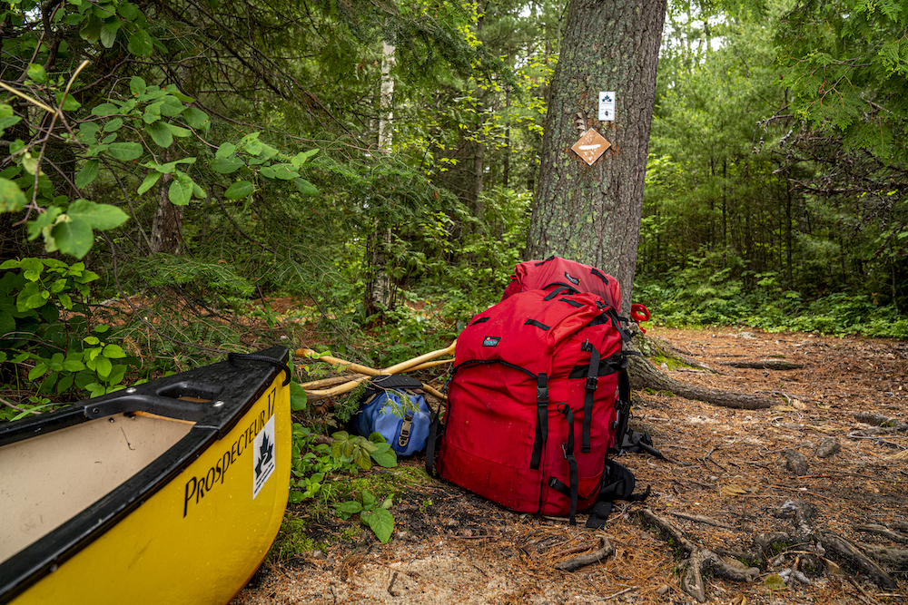
If You Have One Week
Starting at Highwind Lake Camp, paddlers will find an excellent backcountry canoe trip travelling east to Vermillion Bay via Porcus, Geejay, Manomin, Winnage and Eagle lakes. The highlights of this trip are the soaring cliffs of Winnage Lake and beautiful white pine campsites on rocky points. For a luxury night on your trip or a boat shuttle down the West Arm of Eagle Lake, Stanley’s Resort is the place to go—the family-run resort is more than willing to lend a hand.
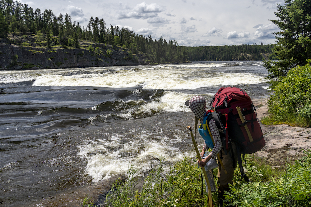
Below the Keewatin Dam in Kenora begins a classic route of the voyageurs, following the Winnipeg River to the Whitedog Dam. En route paddlers can stop for a bite at Paradise Cove Restaurant in Minaki and spend a night in a yurt before continuing downstream into Roughrock Lake. Between Roughrock Lake and the Whitedog Dam there are unmarked rapids that are complicated at flood levels but become lovely cascades over bedrock in low water. In high water, paddlers should exercise extreme caution on the Winnipeg River.
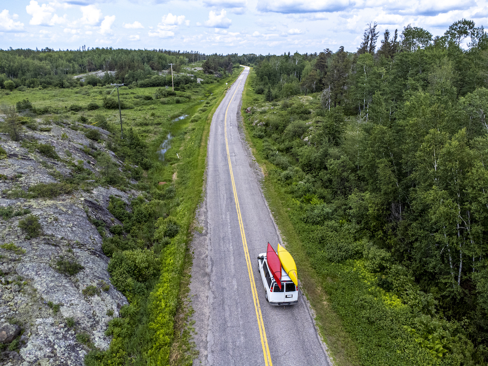
Maps
Route planning maps are available for purchase from the Path of the Paddle website, Wilderness Supply and Chaltrek. The overview map is the best way to visualize the entire route and dream up a trip. When you’ve done this and decided the specific area you’d like to explore, visit this exciting new project Path of the Paddle has put together making their 1:25,000 detailed maps available for free. Donations are encouraged as they are a not-for-profit.
The maps have portages, routes and some campsites marked on them in excellent detail and can be downloaded in various formats either for GPS downloading, PDF viewing or jpegs.
Recommended Articles

Temagami Canoe Trip Guide

Easy River Tripping
Explore the Slate Islands
Ontario’s Blue-Water Lakes
The Steel River

It's Time for a Paddle
Philip Edward Island Camping Guide
Algonquin Park Canoe Trip Guide
Find Wilderness South of Algonquin
The Spanish River
Quetico’s Best Canoe Routes
The Massasauga Provincial Park Guide
Missinaibi River Canoe Trip
Temagami Canoe Trip Routes
Killarney Canoe Trips
Sun and Sand
Killarney’s Most Beautiful Lakes

Ultimate Guide To Wabakimi
11 Indigenous-Owned Outdoor Adventure Companies in Ontario
