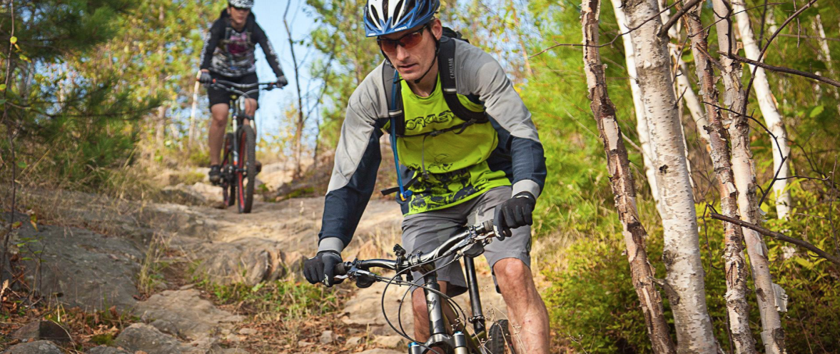
Explore Toronto by bike

Some of my favourite outdoor adventures are urban ones, and there are certainly lots to choose from with every Ontario city or town offering a variety of activities that are both easy to access and perfect for a few hours to a full day of fun.
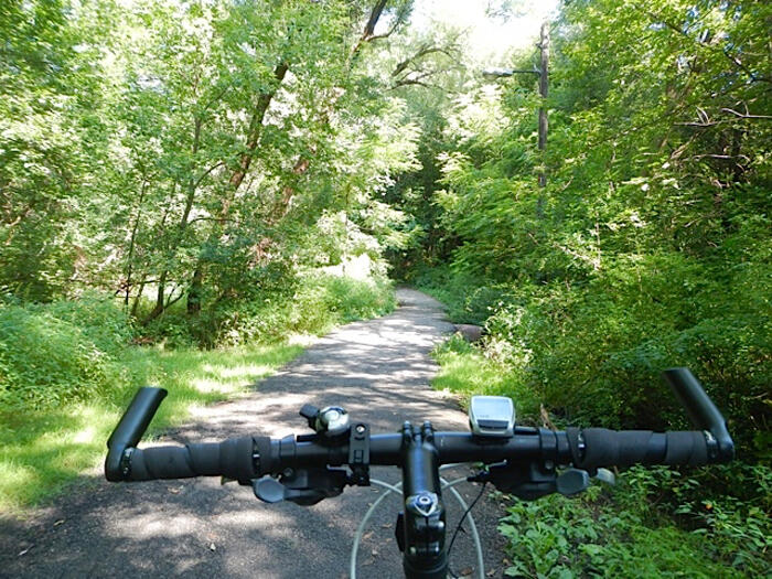
Toronto, Ontario's biggest city, has no shortage of outdoor destinations that are perfect for exploring by bike. The city, also touted as a 'city within a park / park within a city' has over 290 km of multi-use trails, for biking, hiking and simply strolling from one neighbourhood to another. Popular rides and paved trails include the Toronto Islands, Humber River and Don Valley which also has mountain biking tracts, all of which can be found, along with road riding routes, on the Toronto Cycling Map.
One of my favourite rides is the Waterfront Trail (also named the Martin Goodman Trail through the city). Primarily off road or on quiet residential streets there is lots to see and do either cycling east or west from downtown regardless of whether you are riding with family, friends or just solo.
Carving out a few hours to myself recently I set off on a solo mission from my Toronto homebase, excited to ride at my own pace with loose plans to ride up to 50 kilometers following the trail east, connecting back to the city with the GO train.
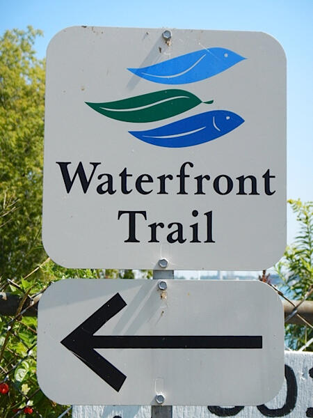
Following Waterfront Trail signs, painted roadlines and an obvious routing closest to the shores of Lake Ontario, the route meanders through tree lined streets with an interesting mix of million dollar homes and old time bungalows perched on cliff tops and all enjoying the same views.
What seem like secret alleyway shortcuts and forested park paths all lead to my favourite first stop, Guildwood Park. This fascinating parkland is essentially a standing museum with the fancy facades, sculptures and rock archways from dozens of downtown buildings, all moved here before buildings were razed to make way for their more modern counterparts.
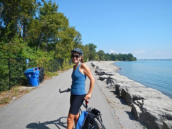
The glittering waters of the great lake keep me pedaling onwards. Sand and pebble beaches, natural and rehabilitated marshlands easily take one back to a time before the big city sprawl. Just over 30 kilometers from downtown I reach the city limits at the Rouge River, yet another scenic beach and watershed wetland, now Canada's newest National Park.
With my sights on refueling, I cruise the next 8 kilometers through delightfully quiet lakeshore parklands interspersed with a few inconspicuous industrial lands and rejoin the world on the east side of Frenchman's Bay and the Nautical Village on Liverpool Street, Pickering. Painted bikes, bright plant baskets, ice cream cafes and outdoor patios are enough to lure even the most serious of all bikers in for a rest stop, and are certainly enough to get me.
At 40 kilometers from my start and over two hours of ride time I contemplate my onward journey, deciding to ride a few extra kilometers east to Ajax and connect up to the GO station via the creek side Duffins Trail.
At the station I don't have to wait long until my air-conditioned chariot arrives to whisk me back to the city for a bargain $7.65, leaving me 30 minutes to relax and contemplate yet another great ride and urban outdoor adventure.
Additional Information
The Lake Ontario Waterfront Trail stretches 730km from Niagara to Quebec with easy access points and a variety of amenities and attractions in all communities trailside. New this summer is the 620km Lake Erie Waterfront Trail from Windsor area to Fort Erie. Detailed trail maps available for download at: www.waterfrontrail.org
Link to info on bike transportation by rail, either VIA Rail or GO Transit, at: www.biketrain.ca
Find bicycle friendly businesses enroute, plan a multi-day bike tour with more information at Ontario By Bike.
Rental a bike in Toronto to ride the Waterfront Trail and explore the city by bike. Rental locations and BIXI public bike share stations are all marked on the Toronto Cycling Map.
Tourism Toronto visitor information: www.seetorontonow.com
Recommended Articles

March Break in Ontario

Crown Land Camping
Natural Highs

Top of the Giant Trail

Tips for 2026 Camping Reservations

Insider’s Guide to Sleeping Giant

Backpacking Trails in Ontario

Dogs Welcome!

2025 Triathalons
Explore Ontario’s Hidden Gems

Plan Your Adventure
Guide to Restoule Provincial Park

Dog Sledding in Ontario

Rise and Glide

Algonquin Park Guide
Go Foraging in Ontario
Incredible Swimming in Ontario
Pancake Bay: Ontario’s Ultimate Beach Escape
Insider’s Guide to Neys


