Steel River Paddling Guide
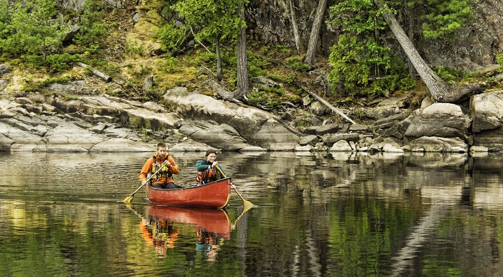
The Steel River is a fantastic canoe route in Northern Ontario that’s perfect for intermediate to advanced trippers looking for an easy-to-plan, 10- to 12-day, 170-km wilderness loop trip. There’s something for everyone on the Steel River. Ontario canoe routes are typically described as either lake trips or river trips; the Steel, however, combines travel on sprawling lakes surrounded by soaring hills with downriver paddling full of easy to moderate whitewater and stunning waterfalls and canyons. This paddling guide provides insider information on planning your adventure on the Steel River, Ontario.
The Steel River Route
The Steel River, Ontario, is a non-operating provincial park. Access is free for Canadian residents (non-residents must purchase a Crown Land Camping Permit from the Ontario Ministry of Natural Resources and Forestry). Non-operational status also means maintenance of the route is minimal; don’t expect to find many developed campsites, pit privies and other backcountry facilities. Crews from nearby Biigtigong Nishnaabeg First Nation have cleared and marked some trails and campsites in recent years, making for an easier overall experience.
The Steel River is a remote wilderness canoe route with difficult portages, exposed lakes, whitewater rapids and tedious logjams. It’s best suited for intermediate to advanced paddlers. The Steel River loop is generally doable throughout the canoeing season, with adequate water levels from late May through September.
Steel River Route Access Points
You have two basic options to paddle the Steel River, Ontario. A 170-km loop starting and ending at Santoy Lake, located just north of Highway 17, between the towns of Marathon and Terrace Bay, offers a mix of lake and river travel and simple logistics. The access road to Santoy Lake is not signed. It is located 54 km west of the exit to Marathon (Peninsula Road) or 23 km east of Terrace Bay (Simcoe Plaza). Jackfish Lake is a good landmark: coming from the east, it means you’ve gone too far; and arriving from the west, it’s a reminder to watch for the Santoy Lake turn just past the crest of the next big hill. Once you find it, the gravel road is suitable for all vehicles. The 4.6-km drive to the public boat launch at the south end of Santoy Lake takes about 10 minutes, and you’ll find plenty of room for parking adjacent to the ramp and dock. It’s free to launch and park.
It’s also possible to access the Steel River at Eaglecrest Lake, via the Catlonite Road, about 50 km south of Highway 11 and the town of Longlac. This allows for a one-way, five-day downriver trip to Santoy Lake, eliminating most lake paddling. This gravel road is reasonable for most vehicles; just be wary of logging trucks. Of course, you could also start and end a loop trip of the full Steel River circuit from this point as well.
Steel River Route Highlights
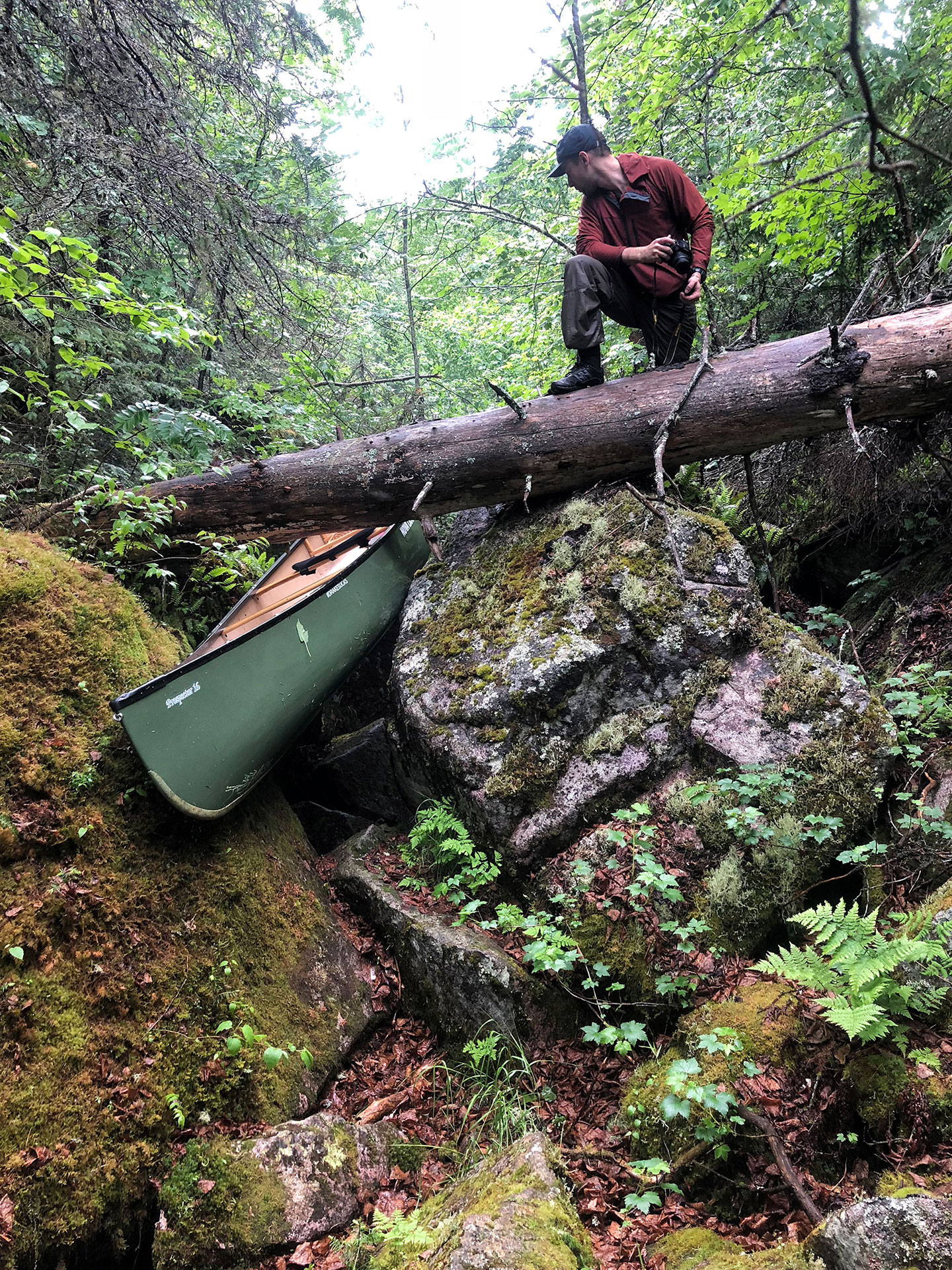
Besides the easy logistics and lack of fees, the Steel River has many other great attributes. The route captures the iconic hills and rock faces of Lake Superior’s north shore, with long and narrow lakes cleaving deep fissures into the rugged Canadian Shield and a wild river following a distinctive pool-and-drop course. Trippers starting at Santoy Lake immediately face the Diablo Portage, a steep, 1,100 m trail ascending over 100 vertical metres to Diablo Lake. Diablo’s reputation as one of Ontario’s toughest canoe portages is well deserved: steep switchbacks give way to a gully where dense ferns conceal large, ankle-twisting (or worse) boulders. This gruelling portage behooves canoeists to pack light and assess their level of fitness honestly. Take your time, watch your step and enjoy the great feeling of accomplishment when you’ve carried all your loads to the other end.
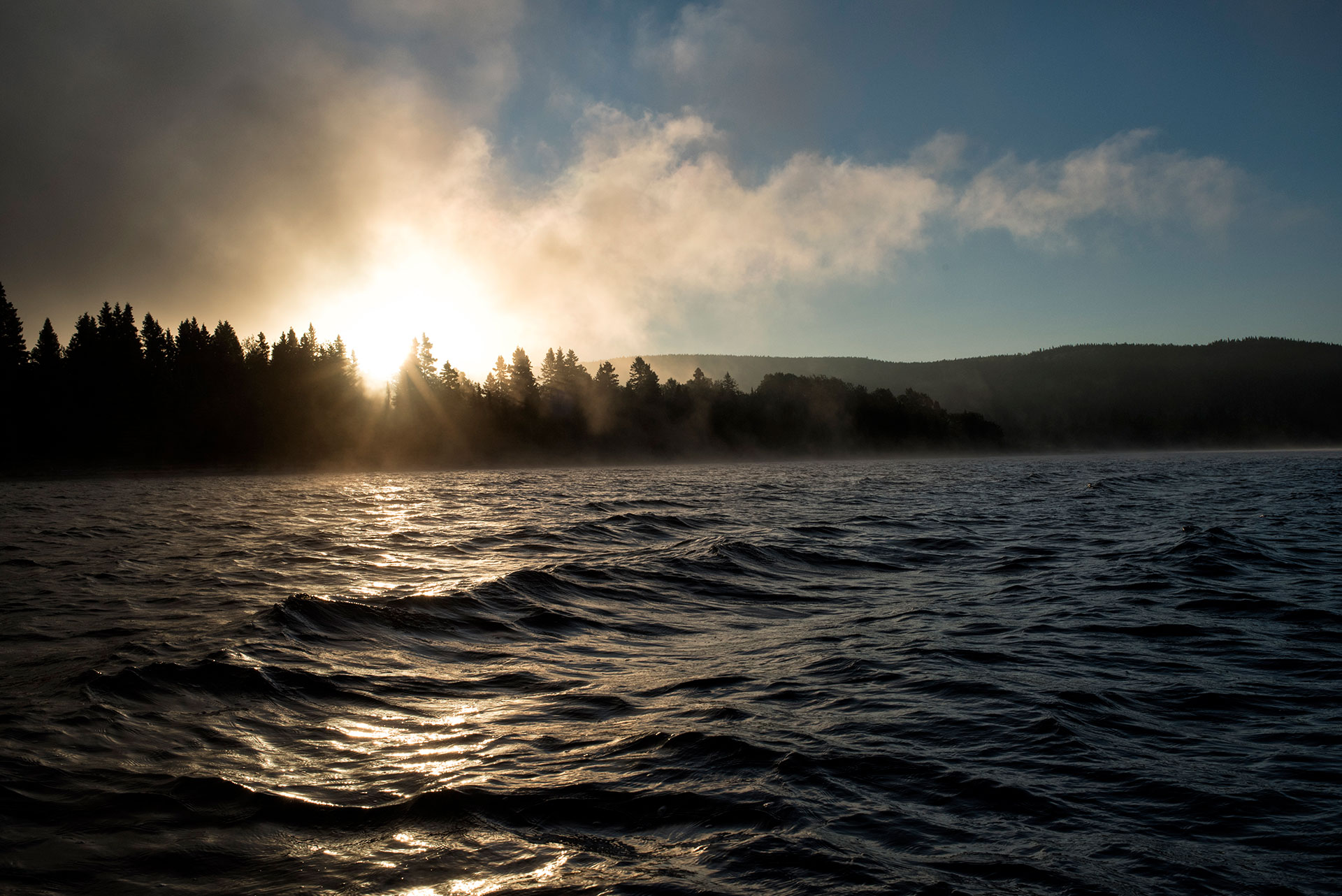
From Diablo, small lakes give way to the sprawling waters of Cairngorm and Steel lakes, defined by their steep shorelines and vast surroundings of young forests emerging in the wake of wildfires. Camping can be tricky on these lakes. You’ll find a few options at the south end of Cairngorm, as well as an excellent site about midway up the lake’s west shore. There’s another large site about five km up the east shore of Steel Lake, but from there expect a full day’s paddle to the next developed campsite at the northern terminus of the lake, at the headwaters of the Steel River.
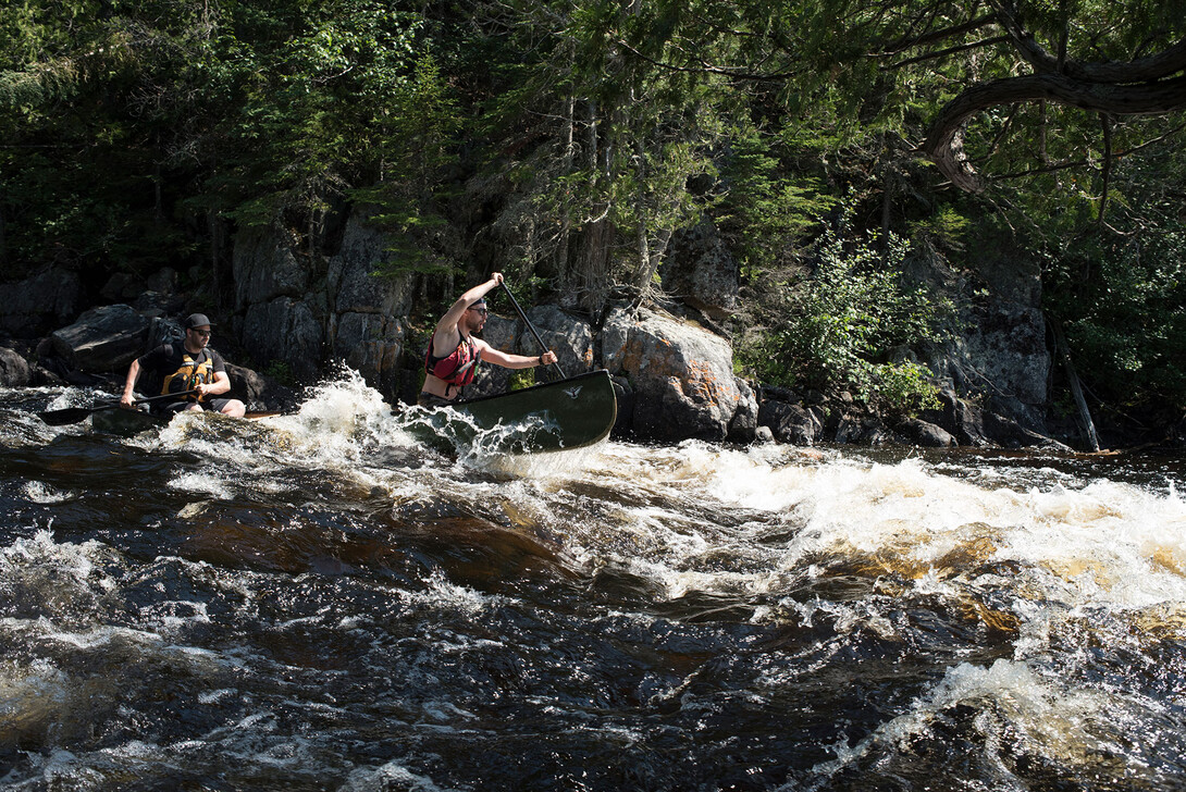
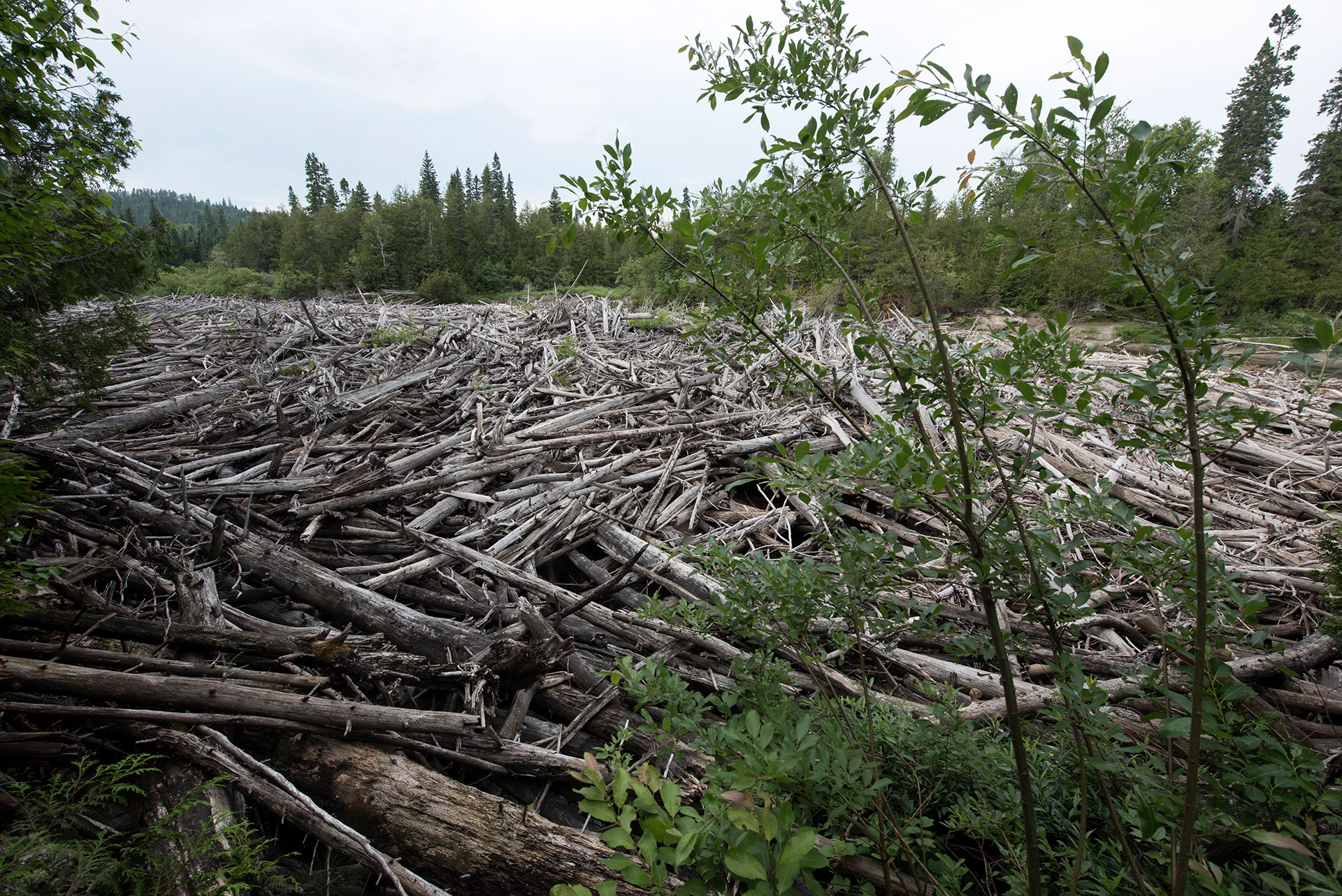
The route changes distinctly when you make the turn south on Eaglecrest Lake. Depending on water levels, anticipate two days of spectacular paddling in Class I and II rapids on the Steel River, interspersed by several short portages, all the way to Rainbow Falls. There’s another half-day of swift water below Rainbow Falls before the river gives way to seemingly endless meanders. Portaging around several logjams requires teamwork unloading the canoe on steep sandbanks. However, the trails themselves are in reasonable condition thanks to the efforts of Biigtigong Nishnaabeg. Finally, the Steel River spills into the north end of Santoy Lake, where a 1 km beach offers idyllic camping before paddling the 10 km of open water south to the boat launch.
Camping
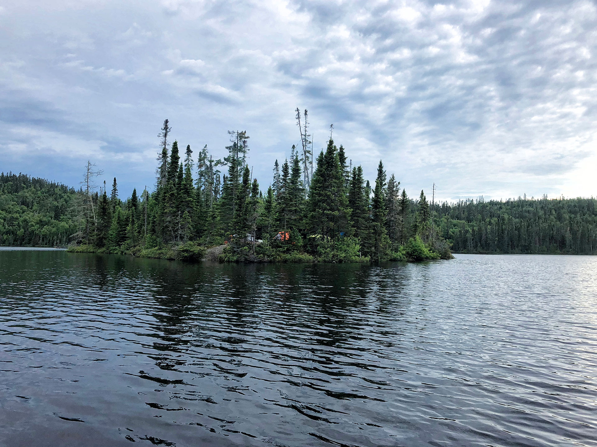
As mentioned, camping for Canadian residents is free on the Steel River, Ontario. Non-residents must purchase a Crown Land Camping Permit from the Ontario Ministry of Natural Resources and Forestry. You can camp anywhere along the Steel River canoe route, just don’t expect to find too many well-established sites in such a remote area. There are a handful of popular campsites, including:
- an island on Diablo Lake, adjacent to the landing of Diablo Portage;
- a headland site on the west side of Cairngorm Lake, near the south end of the lake;
- a large beach site on the east side of Steel Lake, south of the narrows about 5 km up the lake;
- a medium-sized campsite at the portage landing at the north end of Steel Lake;
- a large anglers’ campsite on the west side of the Steel River, below Eaglecrest Lake;
- a sheltered cedar grove opposite a rock cliff on the west side of the Steel River
- a large, open campsite on a bluff adjacent to Rainbow Falls
- a large sand beach and mossy forest east of the river’s mouth on Steel Lake
All of these campsites include established firepits and room for three tents or more, but lack pit privies and other backcountry infrastructure like bear poles or food lockers. Note that except for sandbars, there are no campsites between Rainbow Falls and Santoy Lake, a distance of over 30 km.
Steel River, Ontario Fishing
Outstanding fishing is another attribute of Steel River, Ontario. Serious and casual anglers alike can catch a variety of species, including lake trout on the larger lakes, brook trout in swift water areas on the Steel River, and walleye and northern pike over shoals and weed beds, respectively. Such a remote waterway means little fishing pressure and great success for anglers willing to paddle and portage in.
In particular, Santoy Lake is noted for its diverse fishery, including rainbow- and lake trout. The north end of Santoy Lake, near the Steel River outlet, is a hotspot to jig for walleye along sandy dropoffs. Be sure to troll a lure while transiting Steel Lake and take a moment to work the pools and eddylines beneath the rapids on the upper Steel River, to add a feed of fresh fish to your canoe trip menu.
Steel River Canoe Trip Cost
The Steel River offers incredible value for a wilderness canoe route. Canadians camp free along the entire route, while non-residents must purchase Crown Land Camping Permits for $10 per person, per night. The route’s simple logistics eliminate the need for costly (and time consuming) vehicle shuttles. We recommend staying at the clean and friendly Coach House Motel on Highway 17 at Jackfish Lake before and after your trip.
Outfitting & Guided Trips
The Steel River is located in a remote area and outfitting options are limited. The nearest outfitters supplying rental canoes are Naturally Superior Adventures in Wawa, SAND Adventures in Rossport, and Wilderness Supply in Thunder Bay. SAND Adventures can also help arrange vehicle shuttles for a one-way trip down the Steel River if you don’t have time to complete the entire circuit. No companies were running guided trips on the Steel River at the time of writing.
Steel River Canoe Trip Map
The Steel River canoe route has remained moderately popular over the years due to mention in several popular canoeing books. Canadian author Kevin Callan included the Steel River loop in his recent Top 70 Canoe Routes of Ontario book; similarly, American author and canoe guru Cliff Jacobson mentions the Steel as a favourite destination in several of his publications. You can also find several detailed maps of the Steel River canoe route produced by enthusiasts and available online, including Ramblin’ Boy’s exhaustive trip journal, photos and maps.
Regardless of where you get your information, you still need a set of proper maps to complete the journey safely. Order a set of National Topographic Series (NTS) maps online from World of Maps or Map Town. The following NTS (1:50,000) maps are required:
- 42 D/15
- 42 E/2
- 42 E/7
You can also purchase maps in-person at Chaltrek in Thunder Bay.
Recommended Articles

Ontario’s Blue-Water Lakes
Temagami Canoe Trip Routes
Algonquin Park Canoe Trip Guide
Temagami Canoe Trip Guide

Killarney Canoe Trips
Ontario’s Moose Hotspots

Hidden Gems: Best New Canoe Routes
The Spanish River
The Massasauga Provincial Park Guide
Learn or Improve Your Paddling Skills
Find Wilderness South of Algonquin

Paddling in Lake Superior NMCA

Easy River Tripping

Top 10 Easy Canoe Trips
Canoe Trips in Lady Evelyn-Smoothwater
Best Canoe Maps in Ontario

Trippers in Training: Ontario’s Best Canoe Camps
Paddling in Lady Evelyn Smoothwater
Best River Canoe Trips
