A Bird's Eye View of the Algoma Landscape
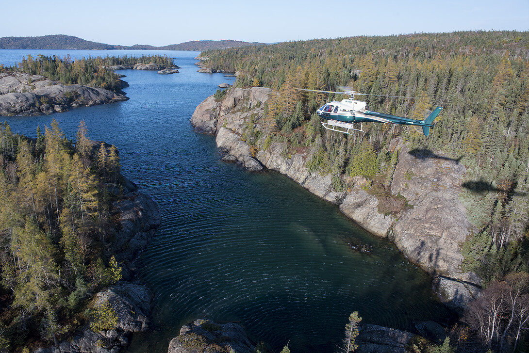
With the proliferation of drone technology, we are seeing a lot of aerial photography these days—but there’s nothing like being in a helicopter, with all our camera gear, to provide a bird’s eye perspective on our gorgeous Algoma landscape. Through my work as a photographer, I’ve been lucky to strap myself into a helicopter and take shots of the rolling landscape that cradles the lakes and rivers of this singularly beautiful region.
My flights are generally with Wilderness Helicopters out of their Wawa or Marathon base. Wilderness Helicopters performs a wide variety of aerial services in the most remote recesses of Algoma Country and beyond. Although their clients tend to be from the industry, they do offer sightseeing services. Anyone considering chartering a helicopter for an aerial scenic tour would be well advised to do it in Algoma.
Although my time in a chopper is generally dedicated to photographing a particular destination or development, the journey there and back is always worth a picture or two.
Town of Wawa
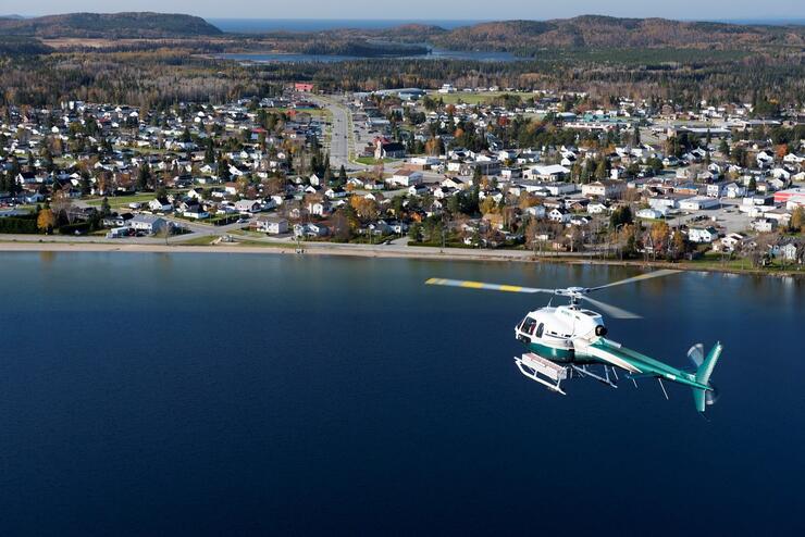
Lifting off from the Wilderness Helicopters base at the Wawa Municipal Airport instantly affords a view of the town of 3,500, sandwiched between the shores of Wawa Lake and Lake Superior. From the air, the abundance of water is apparent, and an appreciation for our proximity to the mighty Superior grows as we head west to the coast.
Coast of Lake Superior
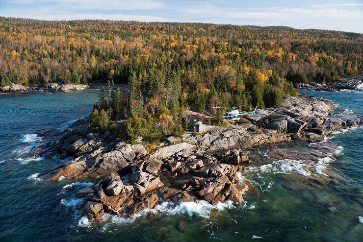
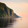
Flying the coast of the greatest of the great lakes reveals the rocky points, jagged inlets, bulbous headlands, and long sandy beaches of a virtually undeveloped shoreline. Wild rivers cascade down a serrated landscape that begs for closer inspection.
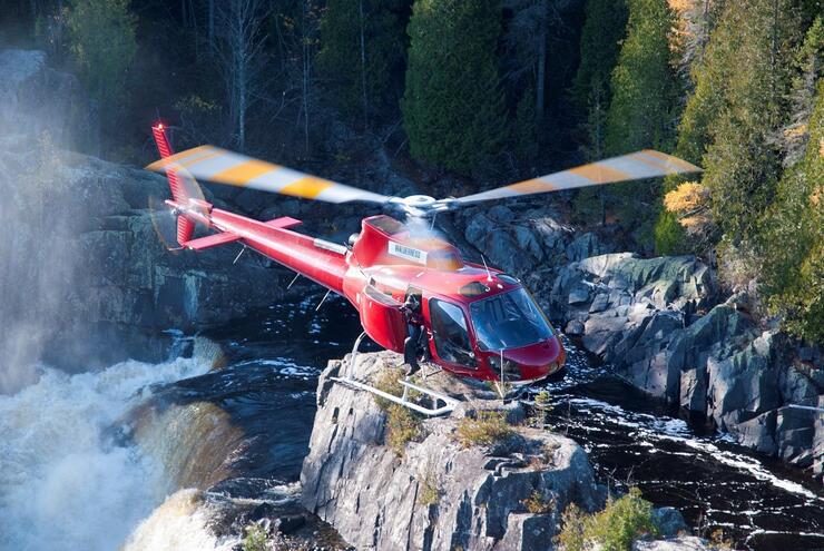
Depending on the conditions and the type of images I’m looking for, I will often shoot with the door off the helicopter. If you look closely, you can see me leaning out of the aircraft to photograph the falls. Falling to my death would be an intriguing way to go, but rest assured that I am strapped in and my photography gear is secure.
The City of Sault Ste. Marie
The airport at Sault Ste. Marie is located close to where Lake Superior tapers into the St. Mary's River. It then flows through the St. Mary's Rapids, the Sault Locks, and between the twin cities of Ontario and Michigan. It’s an urban and industrial area, with lovely patches of green space within the city limits that hint at the incredible beauty beyond.
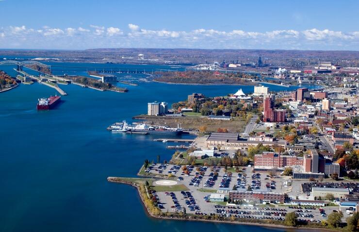
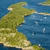
Upstream of the St. Marys Rapids is Lake Superior’s Whitefish Bay, widening into the main lake. Batchawana Bay, along the northeastern shore, is delineated by the sprawling Batchawana Island. Although this popular cottage area is easily accessible via the TransCanada Highway, an elevated view paints a completely different picture.
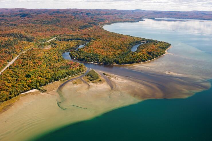
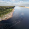
At the mouth of the Chippewa River, a broad estuary of shallow sand washed down from the river drops steeply into the depths of Batchawana Bay.
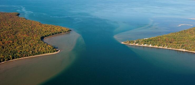
The lines, shapes and patterns made by varying water depths accentuate the interesting landforms of the Batchawana area.
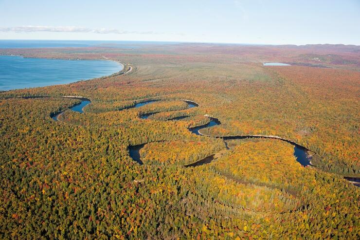
The meandering flow of the Batchawana River isn’t quite as apparent from the ground, but from the air, we see its past, present, and perhaps future windings.
The Agawa Canyon
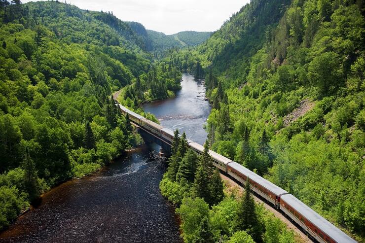
The Agawa Canyon is a remote, yet well-known, Algoma Country destination thanks to the Agawa Canyon Tour Train. As thrilling as it is to descend into the canyon by rail, navigating between the precipitous canyon walls by helicopter is even better. We add another level to the experience when we consider the canyon and the Algoma Central Railway’s (ACR) connection to Canada’s most famous group of artists.
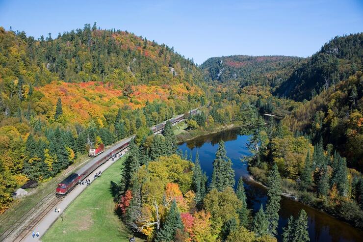
It was the promise of a wild and ruggedly beautiful wilderness that brought the Group of Seven to Algoma Country. Members of the group first painted along the ACR in 1918, and were so captivated by the scenery that they would return annually till 1921, sleeping in a converted boxcar and travelling by rail, on foot and by canoe.
The Agawa Canyon Tour Train is a readily accessible way to follow in the footsteps of the Group of Seven. We can get out at the canyon and stand where Lawren Harris painted Bridal Veil Falls back in 1920, and do our own prospecting for other Group of Seven painting sites in the canyon.

Although it was 100 years ago that they captured what have become iconic scenes along the Agawa River at Agawa Canyon, we can still see the intact landscape as they painted it so long ago.
Carved through the northern Ontario bedrock, Agawa Canyon is unforgettable, and there are few more spectacular flights than following its course in a helicopter. I am fortunate to have experienced it and other aerial perspectives on the region. Any time we get the opportunity for an elevated view of Algoma, it’s a flight well worth taking.
Recommended Articles
The Group of Seven in Algoma

9 Facts to Know about the Agawa Canyon Tour Train
