A Tour of Algoma’s Waterfalls
A Self-Guided Tour Of Six Waterfalls In Algoma Country
Algoma Country is home to many waterfalls throughout the beautiful region in provincial parks, as stand-alone attractions, or even just in the roadside rest areas along highways. Some waterfalls are very accessible and easy to get to, while others require the thrill and challenge of backcountry hiking.
The Algoma team selected six waterfalls that are must-sees in the region; these are waterfalls that you can drive to and hike in one day. Grab your camera, pack a bag and come to Algoma to enjoy this self-guided waterfalls tour, the majesty, and the magnificence.
Aubrey Falls - Mississagi Valley Highway 129
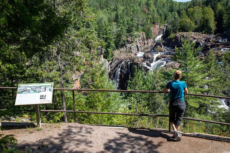
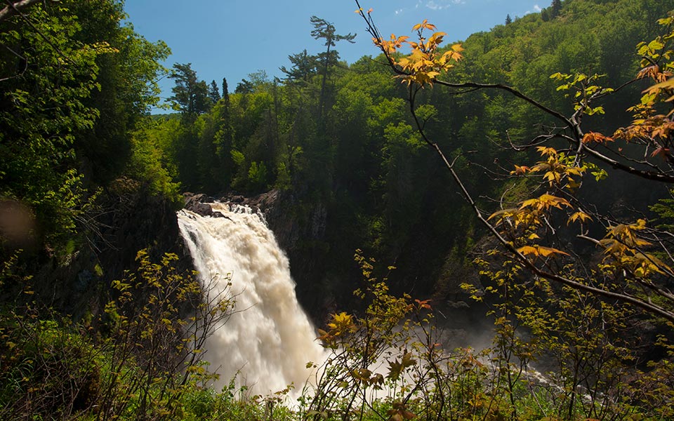
Aubrey Falls is located in the Mississagi Valley, one of the most scenic areas of Ontario. The waterfall is approximately 53 meters high, with water flowing through more than seven areas over beautiful granite formations. Mists rise from the base of some of the larger falls. Aubrey Falls is best viewed from a bedrock ridge downstream, where the cascading water carves out an island at the base of Aubrey Falls.
How to Get There: Follow Highway 129 to Aubrey Falls Provincial Park. From the parking lot, the trail takes about 10 minutes to reach the bridge over the gorge. Aubrey Falls Provincial Park facilities include a parking lot and toilets.
What's Nearby: Grindstone Falls is also on the way to Aubrey Falls, about 70 km from Thessalon. Look for the Grindstone Falls trailhead sign; you can park a vehicle on the side of the road across the road from the sign. A short hike brings you to the bottom of the falls.
Crystal Falls - Sault Ste. Marie
A favourite spot for locals, Crystal Falls can be found in Hiawatha Highlands (Kinsmen Park) within the city limits of Sault Ste. Marie. This is a very pretty waterfall and super easy to visit. Reaching 50 metres high, it's a bit tough to see the entire waterfall at once, so take the wooden boardwalk and stairs that lead to the very top. The bridge and trail are also part of the Voyageur Trail system, and the conservation area is home to a 35-km-long network of trails allowing you to hike for hours. Make this a must-stop on the Grand Algoma Drive, or a tour around Lake Superior.
How to Get There: Take Fifth Line Road in Sault Ste. Marie, to Kinsmen Park. Drive into the Park and follow the road to the base of the Fall.
What's Nearby: Downstream of the falls is a lake and a man-made dam on top of Minnehaha Falls. The first drop is about six metres, and the water enters a narrow gorge. This waterfall is not quite as powerful as Crystal Falls, but still a must-see.
Chippewa Falls - Highway 17 North
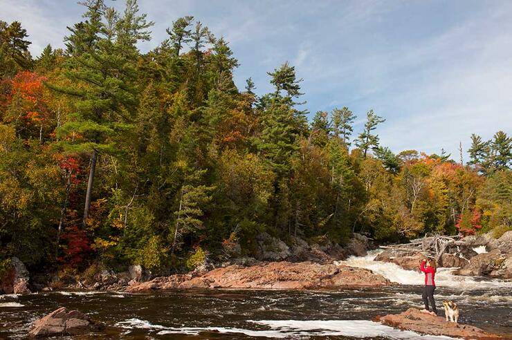
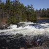
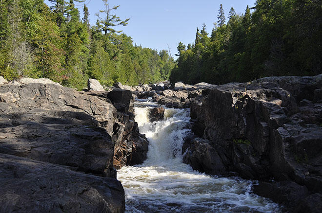
Chippewa Falls is at its best during the spring thaw when melting ice spews rapidly rushing water over the 25-metre drop. When the flow is low, the river is confined to the lower notches and grooves in the bedrock, and you can explore the rocks.
How to Get There: Follow Highway 17 North from Sault Ste. Marie for about an hour. Chippewa Falls is visible from the roadside park, hiking trails and from the bridge.
What's Nearby: Batchawana Bay is about 15 minutes from Chippewa Falls. From there, you can access Batchawana Falls, just south of Batchawana Bay Provincial Park. The falls are located off of Tribag Mine Road, a logging road. It is important to be aware that this is an active logging road, so you must proceed with caution as you may meet a logging truck. The falls are located just 7 km from Hwy 17. Be prepared to climb down into the gorge. Batchawana Bay is home to many places to eat, shops and accommodations.
Scenic High Falls Of The Magpie River - Wawa
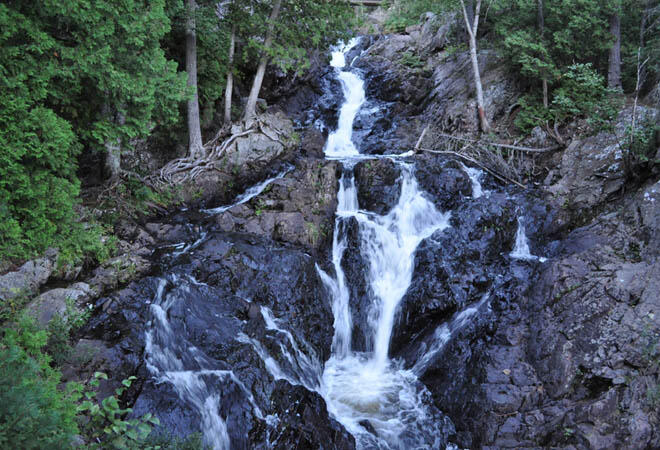
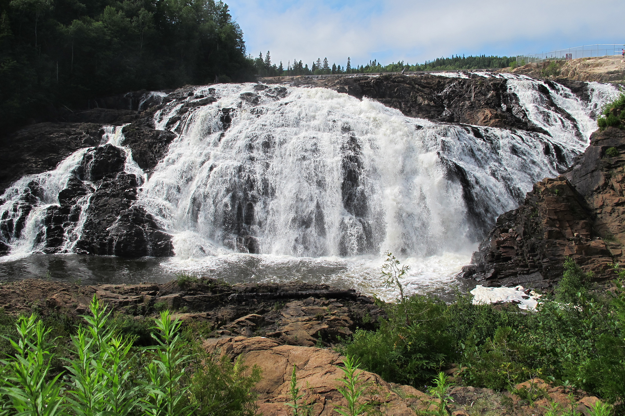
(feature photo)
Located south of the town of Wawa, Scenic High Falls is an impressive waterfall standing 75 feet high and 125 feet wide. The beautiful park area is located at the base of the falls with a covered picnic shelter, BBQ, wheelchair-accessible washroom facilities and plenty of parking. The short walking trails, which follow the top of the falls to the park at its base, also provide signage for an informative look at the history of power in the Michipicoten area.
How to Get to High Falls: Take Hwy 17 along the coastline of Lake Superior to Wawa and take Pinewood Drive. The road to Scenic High Falls is marked with a sign.
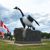
What's Nearby: Silver Falls is made up of 3 falls: Silver Falls, Middle Silver Falls and Lower Silver Falls, which descend from the Magpie River into the Michipicoten River. Wawa Goose Monument and Visitor Centre, accommodations, restaurants and outdoor activities.
Sand River Falls - Lake Superior Provincial Park
Located in Lake Superior Provincial Park, this waterfall is easily reached using the Pinguisibi Trail, which follows the river upstream. After visiting the Lower Falls, a moderate walk of about 10 minutes brings you to the Upper Falls. These falls are in a wonderful, natural setting and are exceptionally beautiful in the fall. The trail itself is well-worn and well-signed. You can get a Park Map at the Agawa Bay Visitors Centre.
How to Get There: Take the Sand River exit off Highway 17 North. You will also need a Park Pass.
What's Nearby: The Agawa Bay Visitors Centre houses the "Power of the Lake" exhibit, gift shop, and other facilities.
Black Beaver Falls & Bridal Veil Falls - Agawa Canyon Wilderness Park
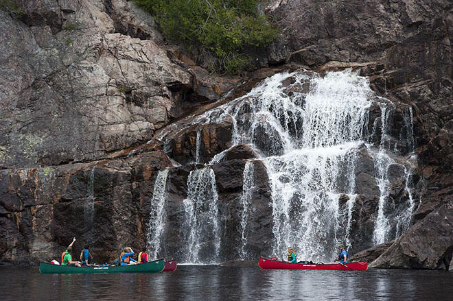
Although these are two separate waterfalls, both are found in the Agawa Canyon. A third waterfall can also be found in the park: Otter Creek Falls.
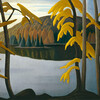
The Agawa Canyon Tour Train is a one-day rail excursion where passengers experience the wilderness from the comfort of the rail car. The coaches are equipped with large viewing windows and comfortable seating. Upon arrival at the Canyon, passengers have over an hour to explore the wilderness park on foot with a walk to the waterfalls and the lookout for a panoramic view of the Canyon. Note that these same waterfalls and Canyon were painted by members of the Group of Seven. Black Beaver Falls is about 175 feet high, Bridal Veil Falls is 225 feet high, and Otter Creek Falls is smaller at 45 feet high. Trails leading to the waterfalls are well-maintained and are relatively easy nature walks.
How to Get There: Agawa Canyon Tour Train
5 Things to Know Before You Go Waterfalling
- Plan: always plan your route and ensure you have a map of the area, a compass, or a GPS.
- Don't Go Alone: Remember to bring a buddy with you, as you are in the wilderness, and situations can happen.
- Pack Light but Smart: hat, sunscreen, sunglasses, bug spray and a means of communication (cell phone, and in very remote areas a satellite phone). The heaviest items in your backpack should be your food and water.
- Sturdy Footwear: Footwear designed for hiking is best.
- Be Nice to Yourself: Know your abilities and don't overextend yourself. Choose a hike that is best suited to the hiker that you are, not the hiker you think you should be. You are responsible for yourself. Stay on the trail.
- Beware the Power of Water: Waterfalls contain fast-moving water at the best of times. Keep your distance when viewing.
Recommended Articles
The Group of Seven in Algoma

9 Facts to Know about the Agawa Canyon Tour Train
