Your Guide to Hiking the Lake Superior Coastal Trail
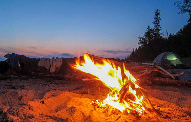
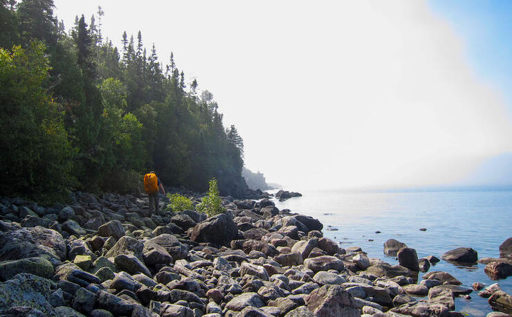
The Lake Superior Coastal Trail is coastal in the truest sense. The 65-km trail runs from the Agawa Bay Visitor Centre in the southern end of Lake Superior Provincial Park to Warp Bay in the northern end. Along the way, it clings to the cobble beaches, rocky headlands, and dense boreal-transition forests on the shore of the largest and least developed Great Lake. Camping along the coast offers spectacular scenery and its remote location makes it one of the darkest Dark Sky Preserves in Ontario.
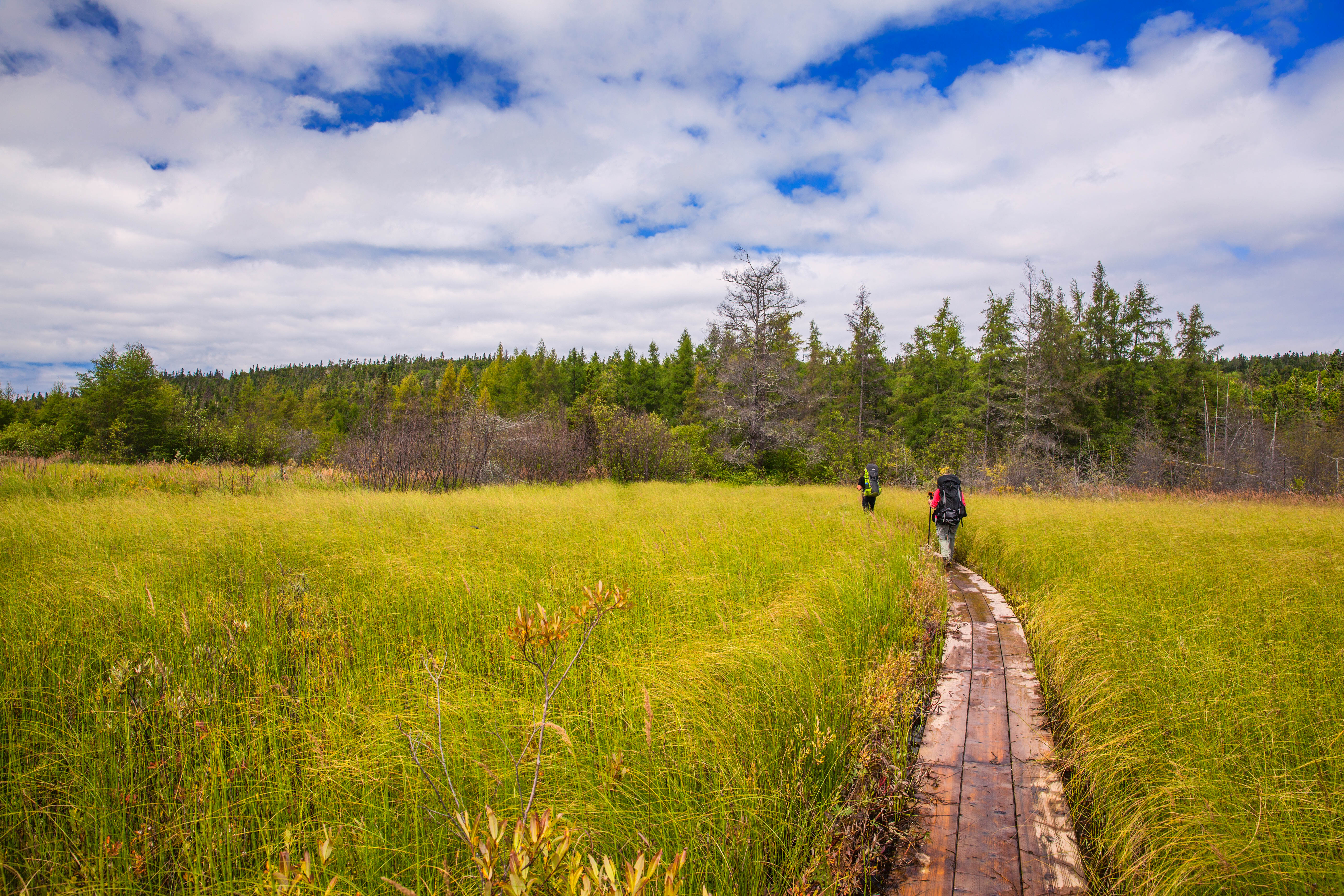
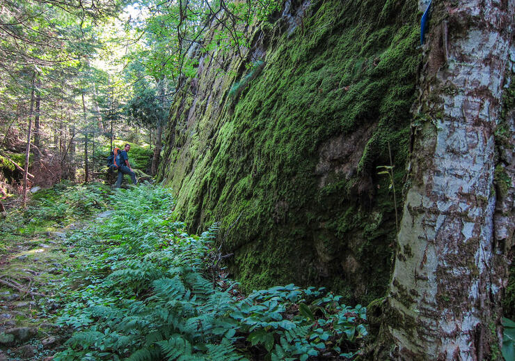
The rugged nature of the Coastal Trail at Lake Superior and significant distance from Toronto means you can expect technical walking and few crowds along the way. There are few actual trail markers aside from rock cairns and small blue markers on trees. This adds to the wilderness experience, which is key as you escape the crowds and enter the expanse of the Lake Superior region. To hike the full trail, you should have strong backcountry camping and travel experience, but there are lots of shorter day or overnight options along the trail as well.
Hiking the Full Coastal Trail
Hiking the Lake Superior Coastal Trail is best done in five to six days in order to really appreciate the scenery. Hikers have the option to start at either Agawa Bay and head north, or Gargantua Harbour and head south. I would recommend hiking the trail north to south for the following reasons. In terms of shuttling vehicles, it is more practical to be dropped by a shuttle at the end of the 14-km dirt road leading into Gargantua Harbour than to drive down to drop a car off, have a shuttle pick you up and drive back out. Although only 14 km long, it can take at least 45 minutes to drive this winding, single-vehicle road. The hiking section directly south of Gargantua is also quite challenging, so it is nice to start the hike with fresh legs!
If starting at the south end of the trail, hikers have the option to stay at the Agawa Bay campground the night before. This is also one of the places you can purchase permits and trail maps before your hike. Backcountry permits need to be bought the day you begin your hike either at the desk or the self-registration kiosk. There is also a self-registration kiosk located at the northern access in Gargantua Harbour. I would highly recommend spending time at the well-curated interpretive section in the Agawa Visitor Centre to learn more about the lake, flora, fauna and people who have and continue to use the land.
From Gargantua, the trail extends approximately 8 km north to Chalfant Cove for those who are committed to travelling the true length of the trail. Hiking up this way will reward you with great views of the Devil’s Chair and a secluded beach campsite at Warp Bay.
Please note that the Devil’s Chair and Agawa Rock pictographs are two of many sites in this area that are sacred to the local Anishinaabe people. Visitors should remember to be respectful.
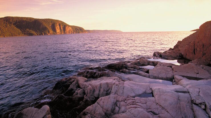
Continuing south after Gargantua, the stunning rock formations at Rhyolite Cove begin to appear. The reddish, pocketed rock brings to mind the surface of Mars and there are many excellent swimming holes a short distance from the two spacious campsites.
The hiking gets increasingly technical between Rhyolite Cove and the Baldhead River, so prepare to travel a bit slower than your typical pace. Due to the steep climbs and large rocks to navigate, plan to hike between 1 and 2 km per hour in this section. Setting conservative goals will make the hike safer and more enjoyable. This is the most remote section of the trail, far off from any highway sounds or day users, so enjoy the serenity. There are pleasant beach camping options in Beatty Cove, or, if you’re up for a longer and tougher day, you can push on to the campsites on the north side of the Baldhead River. If you follow the Orphan Lake Trail a short ways up the Baldhead River, you can view several waterfalls before returning to the Coastal Trail.
The campsite at Robertson Cove is one of my favourites in the park; it is a tombolo site, where what was previously an island is now connected to the mainland by a sandy spit. Gnarled cedars rule the island, but there are spots to pitch a tent among them and enjoy the stunning sunsets.
Moving southbound from Robertson, more beaches and cobble walking awaits. In wavy conditions, the lake can actually lap up onto the trail, reinforcing the coastal nature of the hike. There are some river crossings at the Sand and Barrett rivers, which can be negotiated by either travelling up to the highway or walking across pending safe water levels. Camp near the Barrett River for one last starry night on Superior before finishing the trail the following day.
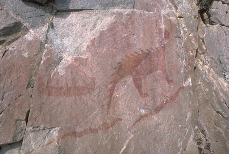
Approaching Agawa Bay, cobble beaches give way to a wild, forested section of the Coastal Trail. Take in the view from the lookout at Sinclair atop the headland and reflect at the incredibly preserved pictograph sites at Agawa Rock before finishing at the Visitor Centre. On arrival, congratulate yourself on successfully hiking the Lake Superior Coastal Trail!
Accommodations
There are frontcountry camping options at Pancake Bay Provincial Park and Lake Superior Provincial Park’s Agawa campground.
South of the trail, hikers can stay at the Voyageur Lodge in Batchawana Bay (45 minutes from Agawa) or one of the many accommodation options in Wawa, north of the park.
Section Hikes
If you only have a day, there are plenty of day hike options:
- Orphan Lake is an 8-km loop that offers a taste of Lake Superior Provincial Park. The trail travels through a variety of ecosystems including an inland lake, bluffs, cedar groves, riverbanks and typical Lake Superior cobble.
- The section of the Coastal Trail from the Agawa Visitor Centre to the pictographs has another excellent mix of coastal hiking, inland forests and cobble beaches, finishing at one of the highlights of the park. Shuttling this route with two vehicles is easy and quite quick. This moderate hike has uneven terrain, slick rock and takes around three hours.
For an overnight trip:
- Drive to Gargantua and hike out to the Devil’s Chair, camping at Warp Bay. Return the same way the following day for an enjoyable 14-km hike.
For a two-night trip:
- Link the Orphan Lake Trail to the Lake Superior Coastal Trail. Start at the Orphan Lake trailhead and camp at the Baldhead River the first night. Then head north on the Coastal Trail and camp at Rhyolite the second night, ending on the third day at Gargantua Bay.
Shuttle
As this is a linear hike, the easiest way to start and finish is by using one of the local Lake Superior Coastal Trail shuttle services. Based out of Wawa, these operators will pick you up at your vehicle and drive you to the beginning of the hike. That way, you hike back to your vehicle, jump in, and drive away.
U Wanna Cab and Naturally Superior Adventures both offer shuttle services to any road-access point along the trail. Contact them for quotes.
Outfitters
Joe’s Sports and Surplus in Sault Ste. Marie has an array of outdoor gear if you need to pick up any last-minute items. Naturally Superior Adventures also has a small paddling and outdoor shop on-site. Hiking gear is not available to rent in the region. For Lake Superior self-guided hiking packages, contact Blaq Bear Tours.
Guided Hikes
There are presently no guided hike options available for the Coastal Trail. For more information about trip planning and current conditions of the trail, reach out to Lake Superior Provincial Park or Friends of Lake Superior Provincial Park. For other guided and self-guided hiking packages in Algoma Country, contact Blaq Bear Tours.
Trail Map
The Lake Superior Coastal Trail map can be purchased at the park offices, Naturally Superior Adventures or online.
Jake’s Tips on Hiking the Coastal Trail
I’ve had the fortune to work as a sea kayak guide based out of Wawa for the past six summers, making Lake Superior Provincial Park my backyard. When I wasn’t exploring on the water, I was along the coast, day-hiking in the park. Growing up in Southern Ontario, I never realized there was so much beauty to be found along the upper Great Lakes. Here are a few of my “insider tips” for hiking the area:
Best Time to Go
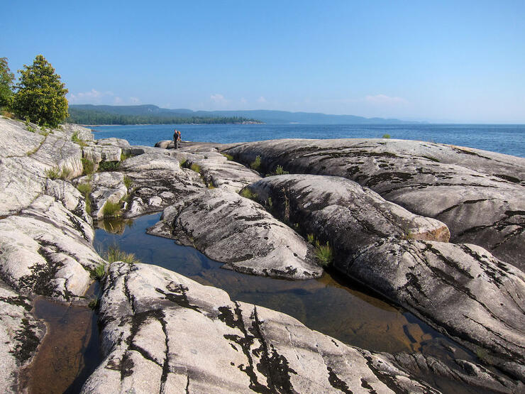
Late August into early September is a great time of year to hike the trail as the water is warm, the leaves are beginning to change, and, best of all, there are no bugs! The trail is very lightly travelled, so even in “peak season” crowding is not too much of an issue.
Best Lookout
The view just south of Gargantua along the headland is spectacular. It feels a little nerve-wracking on a rough day as Superior’s swells crash and roll beneath you, but the view cannot be beat.
Best Swim Spot
The Baldhead River has waterfalls to swim in. Or you can go for a dip in Superior if you’re feeling brave!
Best Post-Trail Snack
Apple fritters or smoked fish are both easy to find on the drive back to Sault Ste. Marie. Wherever you stop for those will not disappoint.
Best Thing About the Trail
It’s clean, rugged and remote. You will find much less garbage and human impact here than on many of the other, more heavily travelled trails.
Plan Your Trip
The Lake Superior Coastal Trail in Lake Superior Provincial Park is coastal in the truest sense. If you like hiking, this is one trail you definitely need on your bucket list.
Recommended Articles

March Break in Ontario
Crown Land Camping
Natural Highs
2025 Triathalons
Ontario Birding Checklist
Explore Ontario’s Hidden Gems
11 Jaw-Droppingly Beautiful Landscapes
Go Winter Glamping
Go Foraging in Ontario
Insider’s Guide to Sleeping Giant
Girls’ Getaways
Tips for 2026 Camping Reservations

Best Stargazing in Ontario
Algonquin Park Guide
Backcountry Skiing in Ontario
Outdoor Playgrounds
Guide to Grundy Lake Provincial Park
Where to See Ontario's Coolest Wildlife
Windy Lake: Your Travel Guide
