Top 10 Facts About Lake Superior
Did you know these cool facts about this great lake?
By Algoma Staff Writer


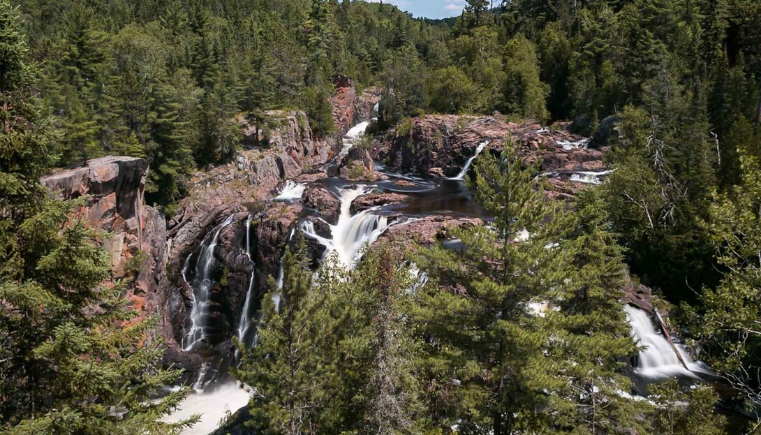

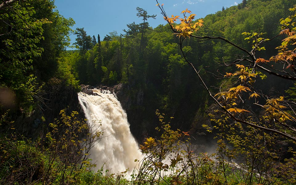
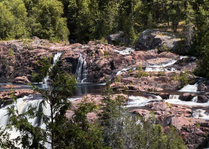
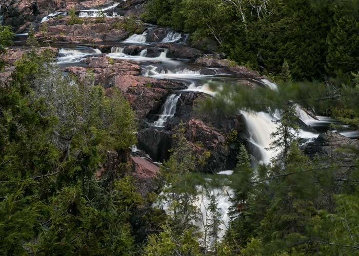
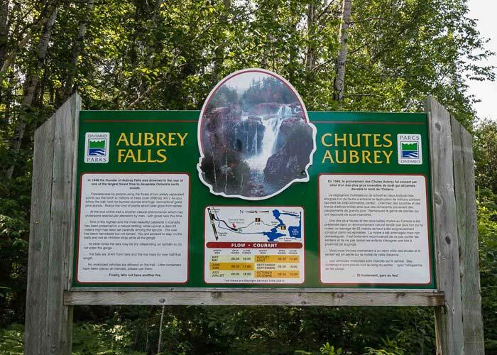
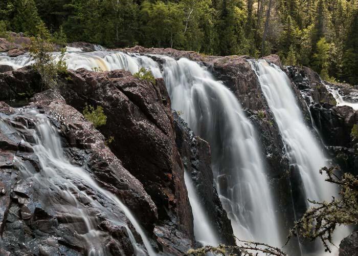
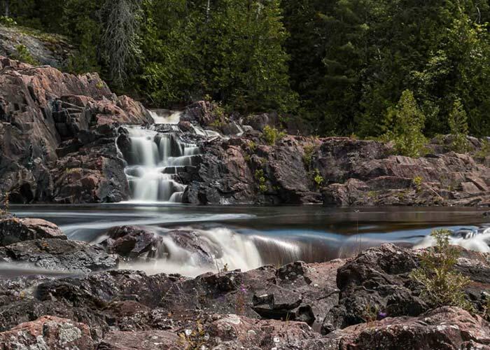
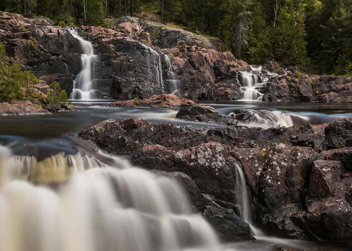
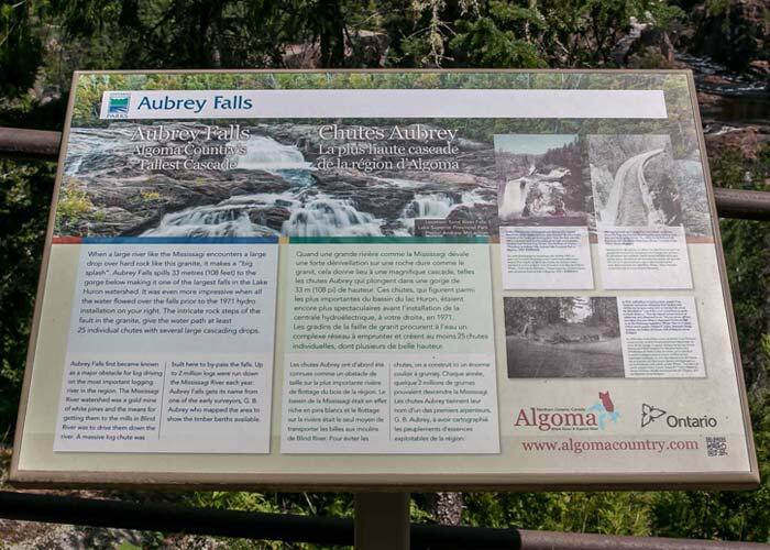
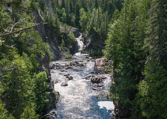
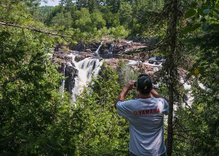
The largest waterfalls in the Lake Huron Watershed are out of the way but well worth the journey to hike and explore. The falls drop 33 metres (108 feet) to the gorge below. There are approximately 25 different chutes in the granite the water flows through.
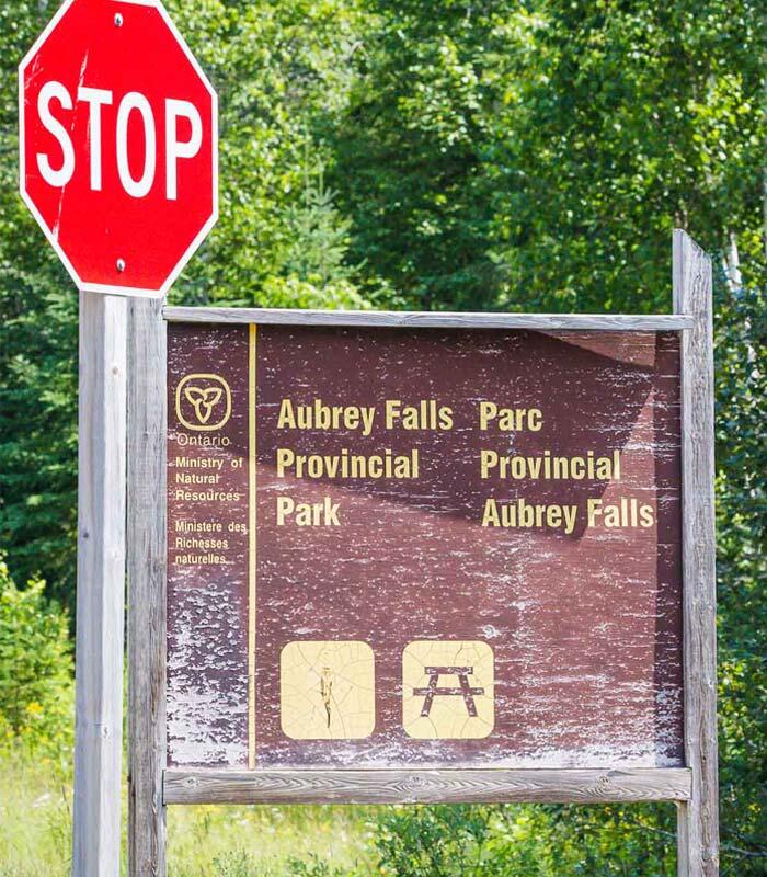
Depending on which direction you are coming from, there are three ways to get to Aubrey Falls Provincial Park. Click Here for Map
If you are coming from the north through Wawa it’s two hours and 39 minutes. From Wawa, you take the highway to Chapleau and then go South on Hwy 129. Until you see the sign Aubrey Falls Provincial Park.
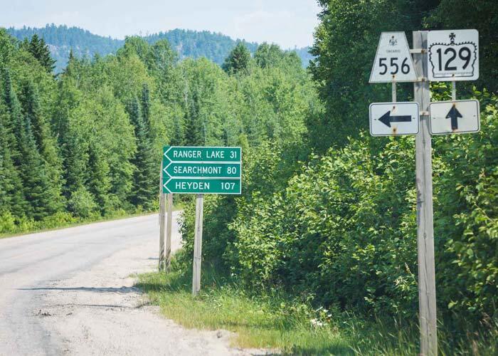
If travelling from Sault Ste. Marie, it’s two hours 16 minutes; take Hwy 17 North to the Searchmont Highway, then turn right onto Ranger Lake Road and follow until the end. Then turn left onto Hwy 129 until you see the Aubrey Falls Provincial Park sign on the right.
If you are coming from Thessalon, it’s two hours 29 minutes; take Hwy 129 North for about 85 km.
Click for Map for the Sault and Thessalon
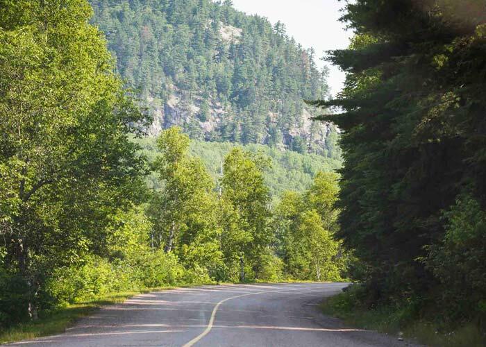
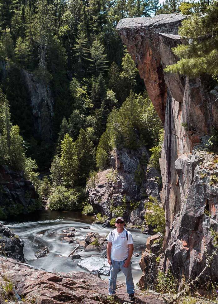
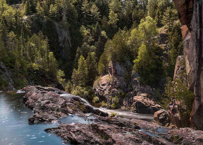
Although Aubrey Falls Provincial Park is far to get to, the scenic views are stunning from either of the three directions. Aubrey Falls is an area of Pre-Cambrian bedrock with Jack Pine and Birch trees.
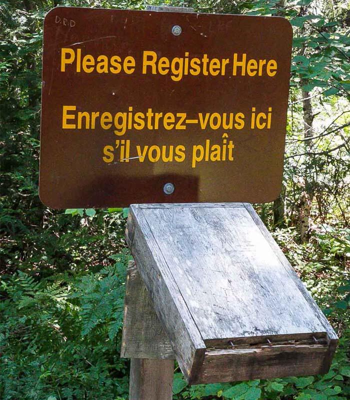
The park itself is very small with minimal amenities. It is considered a non-operating park. There are washrooms and a few picnic tables. The hiking trail into the falls is 0.8 km and is an easy walk on a wide well-kept trail to the bridge. Be sure to sign the park book on the trail in!
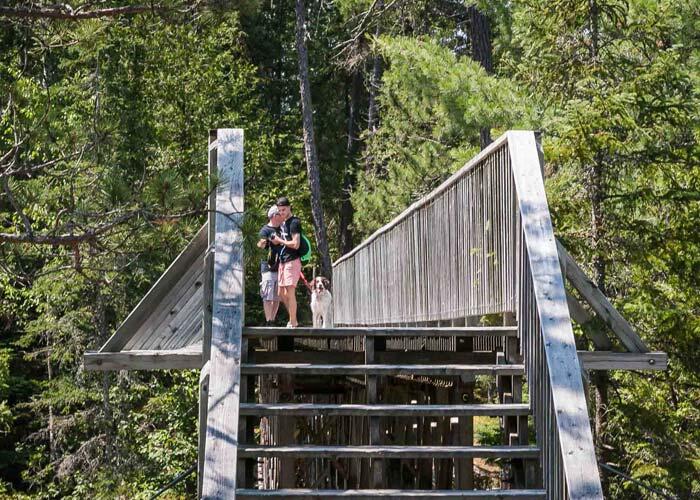
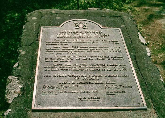
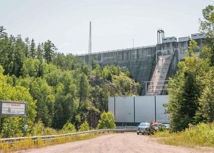
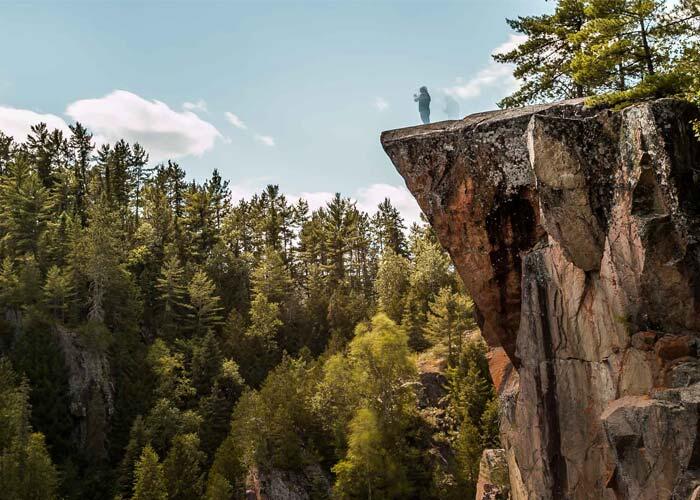
Once you get past the bridge, the trail is a little more rugged but easily passable. This trail leads to a beautiful scenic overlook of the falls to the left and a little further up to the right the Brookfield Dam built in 1971. Just before the walking bridge, if you like to climb the rocks, you can venture right and climb up the right side of the falls for an up-close and personal view of the falls.
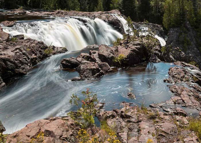
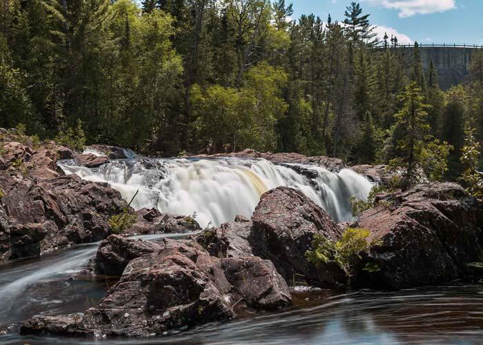
The water cascading over the falls is said to be turned on and off in the fall as Aubrey Falls is a controlled waterfall. Brookfield Power Generating Station and Dam control the water flow over the granite rock basin along the Mississagi River.
Tom Thomson, one of the Group of Seven Artists influencers, toured Aubrey Falls in 1912 in the Algoma Region. From Moments of Algoma — Tom Thomson paddled the Mississagi River in an epic two-month trip in the summer of 1912, six years before the later Group of Seven began their famous “box-car excursion” to Algoma. As you travel to and from Aubrey Falls on Highway 129, many sections of the drive take you along the banks of the river and the breathtaking scenery that Thomson described as “the finest canoe trip in the world.” There is a monument erected just before the falls in memory of Tom Thomson.

The Mississagi River, in which the falls are located, was first known for its log driving due to the logging of the jack pine in the area. Aubrey Falls was a large hurdle for the logs to travel down the river to a large log chute was made to divert the logs past the falls and the on to Blind River.
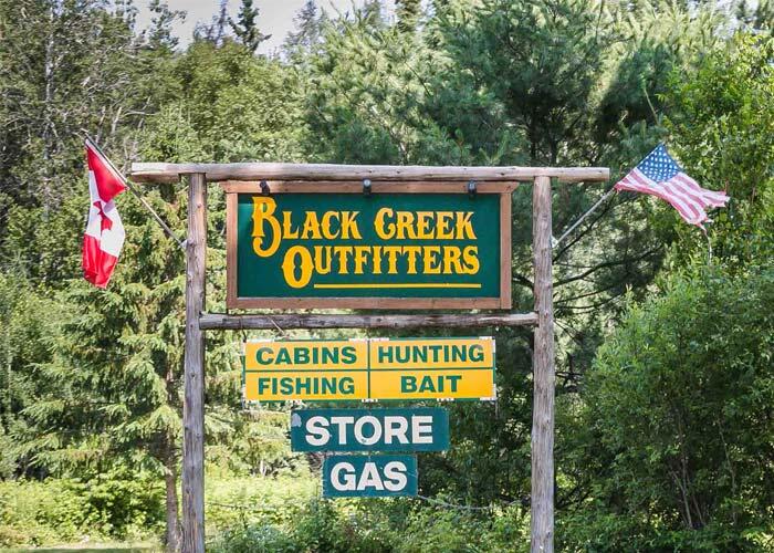
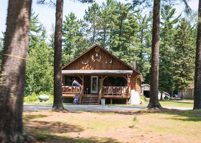
There are three stores in the area for food, fuel, and lodging.
One is Black Creek Outfitters (705) 841-2555, Tunnel Lake Trading Post (705) 841-2508, Aubrey Falls Trading Post (249) 525-5296.
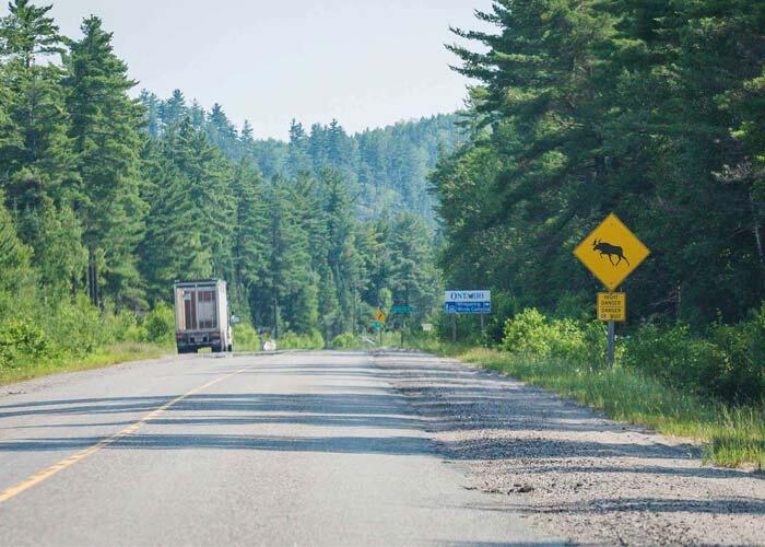
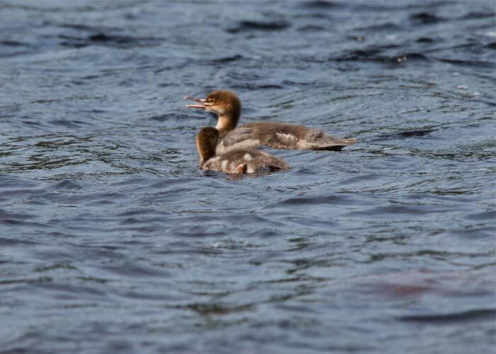
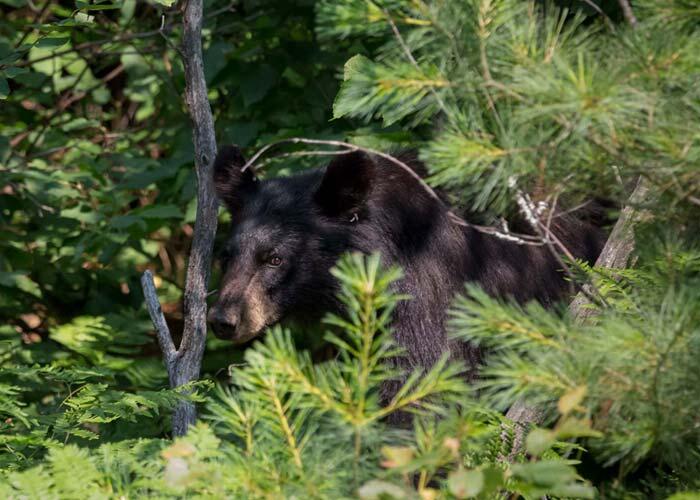
Wildlife is abundant on your journey to the falls. Don’t be surprised to encounter a bear, deer, moose, raccoons, skunks, eagles, and porcupines along with the highway and herons, beavers, ducks, and otters in the lakes and ponds.
Pack a picnic, put on your hiking shoes, put on some bug spray and grab your camera or your canvas and paint. Aubrey Falls is sure not to disappoint!
(Photo credits: Sheri Minardi)