Capturing Elusive Pic Island
I’ve had some bad luck photographing Pic Island.
I set my sights on the lonely uninhabited island due to the resurgence of interest in Canada’s Group of Seven and the places they visited and painted. The famous group of Canadian artists made eight trips to Lake Superior’s North Shore between 1921 and 1928, painting places like Pic Island, the village of Jackfish, and Port Coldwell. They produced hundreds of works from the area that would play a significant role in charting the course of Canadian art.
Back in 2015, I did a sea kayaking voyage with Naturally Superior Adventures, with the intention of photographing these sites along the remote shoreline. Due to such famous paintings as Lawren Harris’ Pic Island, Lake Superior, and Arthur Lismer’s Sombre Isle of Pic, the sculpted island at the tip of Neys Provincial Park was of particular interest.
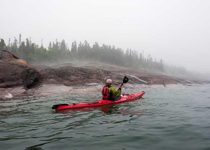
But Lake Superior had other ideas. The entire time we paddled in the vicinity of Neys and Pic Island, a bone-chilling fog bank descended on our group. Although we paddled to within 500 metres of the island and camped across the narrow channel from Pic, fog prevailed, and we never did see the island.
A second opportunity came in the summer of 2017 when I was to rendezvous with Naturally Superior Adventure’s Lake Superior Voyageur Canoe Brigade along the same stretch of coastline. Although I have no history of back trouble, I was sidelined the week of the trip with mysterious back pain. Another opportunity was lost. As summer slid into fall, I was determined not to let another season slip by without photographing Pic Island. I contacted Blair Mills at Wilderness Helicopters and arranged for a flight. So, early on a cool and clear October morning, my wife, Francine, my daughter, Lillian, and I climbed aboard an immaculate six-seater Airbus helicopter.
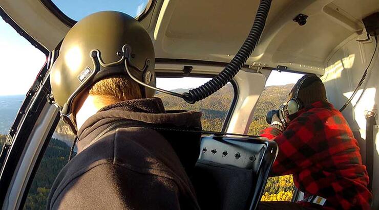
I’ve been lucky enough to fly with Wilderness Helicopters on many occasions, photographing beautiful places in Algoma like Agawa Canyon and the coast of Superior between Wawa and Sault Ste. Marie. Due to my history of failed attempts at capturing Pic Island, I’m a little nervous that there will be fog, snow, rain or some other reason for Pic to elude me. But as we lift off from Wilderness Helicopter’s base in Marathon, and pilot Dan Mercer leans the bird towards the tip of Neys Provincial Park, clear skies and great visibility are promising.
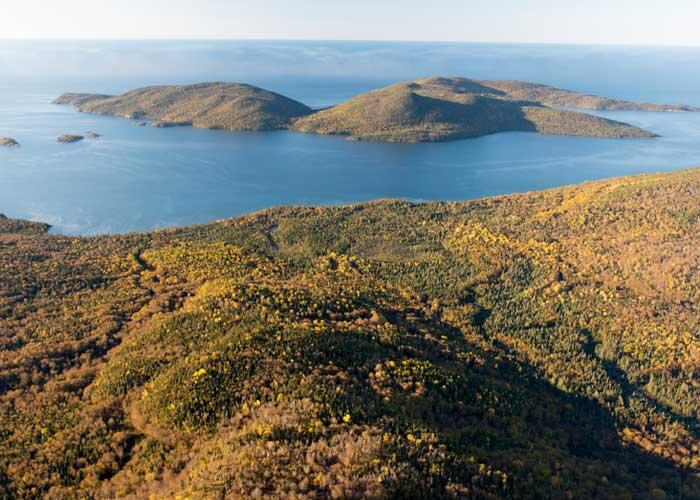
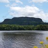
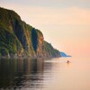
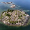
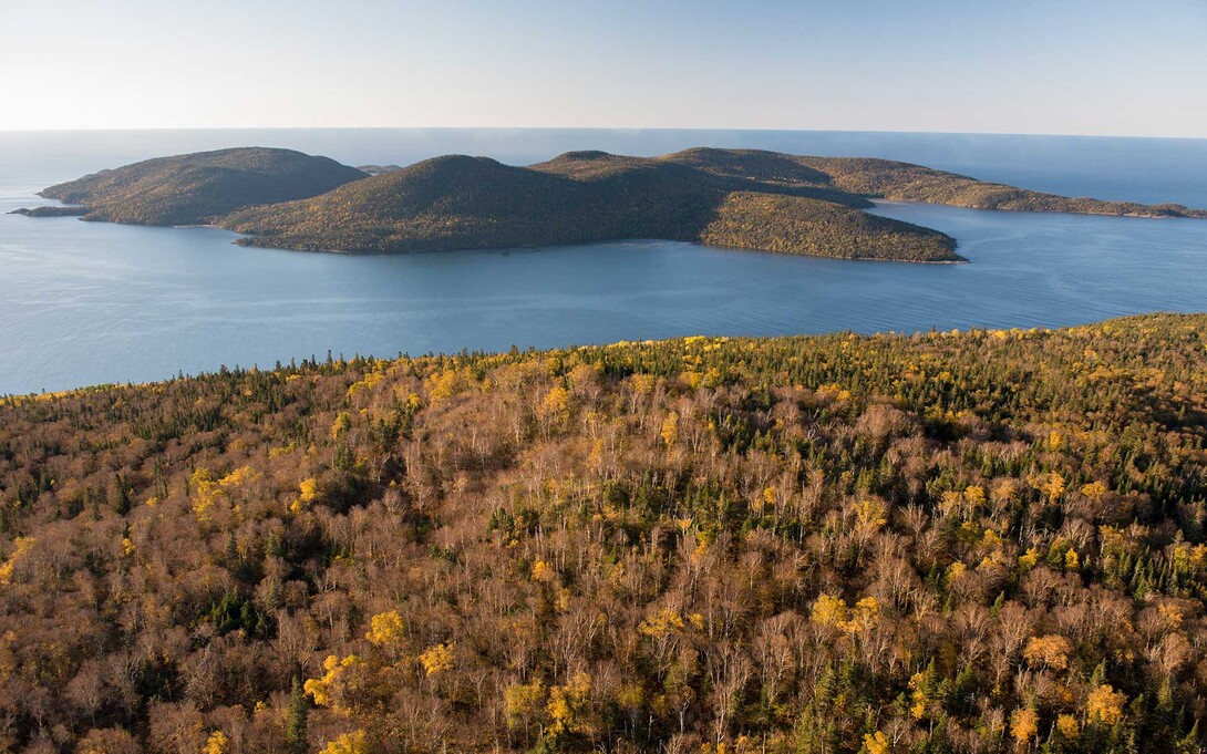
As we rise over the gold and green hills of autumn, the shapely island that has been so elusive sprawls out before us. Her precipitous shoreline, towering 650 feet above lake level, casts long shadows against the light of early morning. From our aerial vantage point, we hover over the mainland, speculating on where the Group of Seven’s Harris, Lismer, Jackson, and Carmichael were situated when they made their iconic paintings of the island.
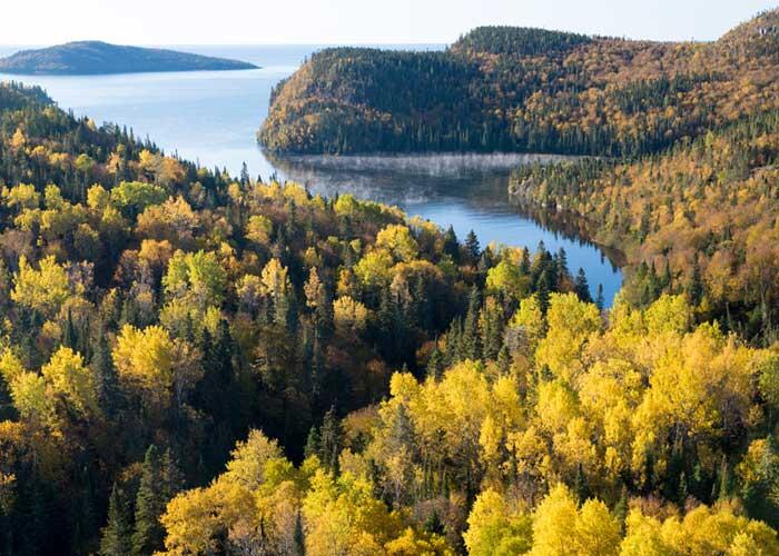
But Pic is just one of several painting sites along this picturesque stretch of coastline. On our way back to the Marathon base, we hover over the sheltered waters of Port Coldwell. Echoes of the past resonate within the fiord-like confines of this protected inlet. Like the town of Jackfish to the North, Coldwell began as a fishing port and serviced the Canadian Pacific Railway in the days of coal (1880s to 1940s) before being abandoned with the decline of the fishery.
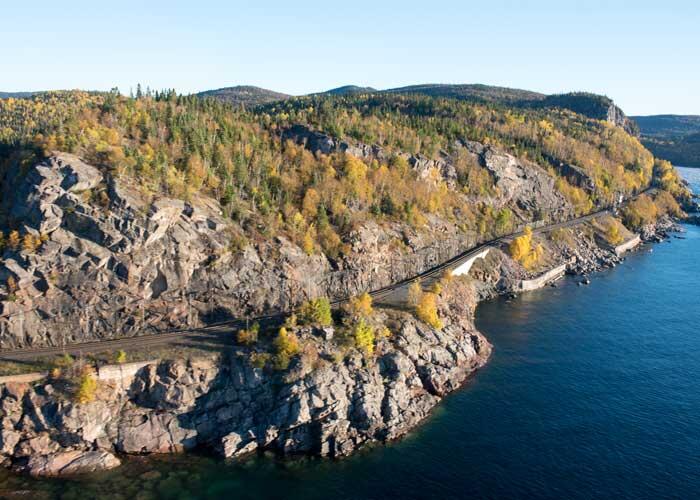
Of course, the Group of Seven did not access this coastline by helicopter—they came by train. As we fly past the coastal sections of the Canadian Pacific Railway, we can only imagine the difficulties of constructing a rail line through this rolling and rugged landscape back in the mid-1880s.
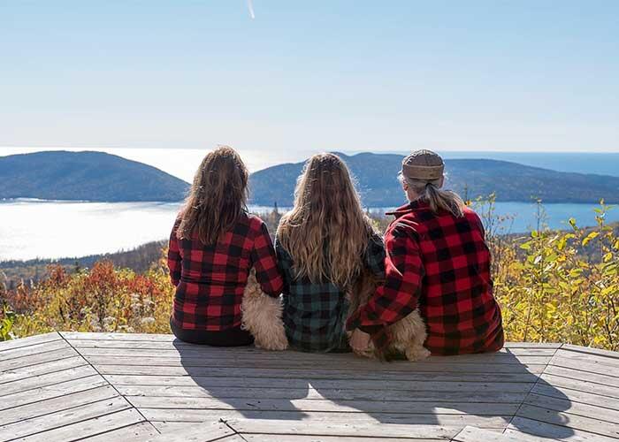
We are back on the ground by mid-morning and head to Marathon’s Classic Café. After refuelling with a big breakfast, we drive to Neys Provincial Park and hike up the 4.5-kilometre Pic Island Overlook Trail. There is a pagoda and one of 16 interpretive Group of Seven plaques at the end of the long, uphill climb. But most importantly, there is Pic Island—still there and completely visible.
It appears my luck is changing.
Recommended Articles
The Group of Seven in Algoma

9 Facts to Know about the Agawa Canyon Tour Train
