How a 60-Mile Walk Became an Epic Motorcycle Ride
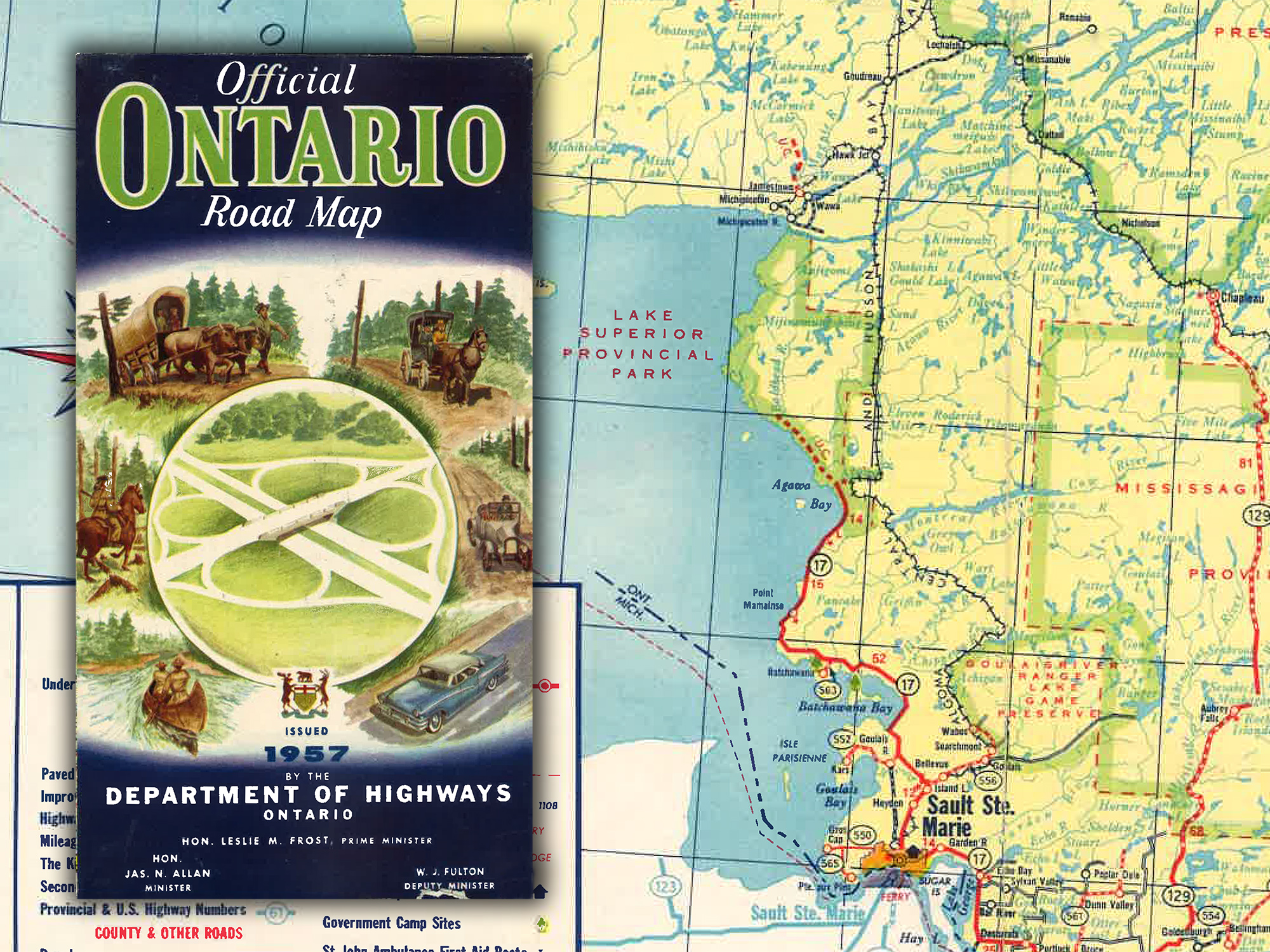
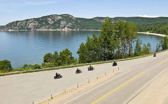
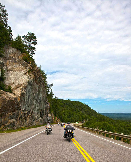
It's one of the Top 10 Drives in Canada. It has been named one of the best Ontario motorcycle routes twice. The twists and turns of the road are described as thrilling, even knuckle-clenching at times. Massive rock cuts, pristine wilderness, and amazing views of Lake Superior. The stretch of highway from Wawa to Sault Ste. Marie is one of the most incredible stretches of the Trans-Canada Highway that you'll ever experience by motorcycle.
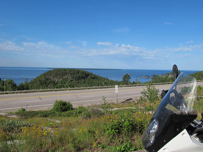
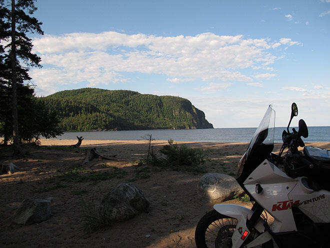
Now imagine if this stretch of the Trans-Canada Highway never existed. Imagine if you drove to Agawa Bay and then had to turn back. Imagine never being able to step off your motorcycle, or drive your car and see magnificent rock formations like Old Woman Bay, the white sandy beach of Katherine Cove, or the panoramic views from the top of scenic lookouts.
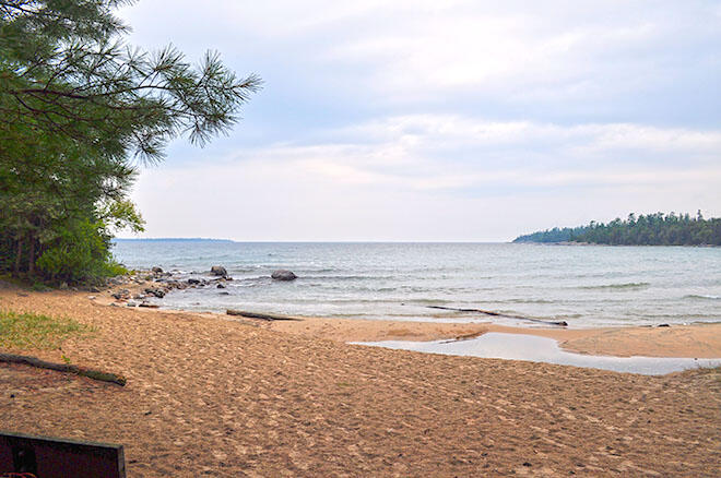
But it isn't that hard to imagine. In fact, for almost 20 years, the bottom of the Agawa River Valley was where the highway ended. It just stopped. The town of Wawa was a mere 60 miles ahead. But you couldn't reach it. At least not by car. Before 1960, people living and working in the town of Wawa travelled in and out by steamboat on Lake Superior, floatplane, and railway as early as 1912 when the rail line from Sault Ste. Marie to Hawk Junction was completed, and after 1921, Hawk Junction to Hearst by train with the Algoma Central Railway.
Many Canadians were in the same situation; it wasn't until 1949 that Canada's Parliament approved the act to build the Trans-Canada Highway, and construction began in the 1950s. Now, prior to World War II, the Trans-Canada Highway had been blasted and cut out of the east shore of Lake Superior from Sault Ste. Marie north to the Montreal River. And it stopped.
The Gap: An Impassable Landscape
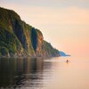
We are proud of our magnificent landscape in Algoma Country: rugged, rocky Precambrian mountains, thick, lush green wilderness, beautiful beaches, and crystal clear lakes. The very things we boast about are the reasons the highway lay incomplete for nearly 20 years. These massive ancient rocks formed by glaciers millions of years ago were reasoned to be impassable by engineers. It was too hard, too tough to push the highway through. Can you believe that the Rocky Mountains were considered to be easier to navigate? It's true. The Rocky Mountains are not as old as our mountain range, and the sedimentary formations are not as tough.
Operation Michipicoten: A Journey Through The Wilderness
In the late 1940s, residents of Wawa were promised a "road out" by both federal and provincial governments, and other surrounding communities pushed for the highway as well, including Chapleau. Petitions and meetings with highway officials always seemed to fall on deaf ears.
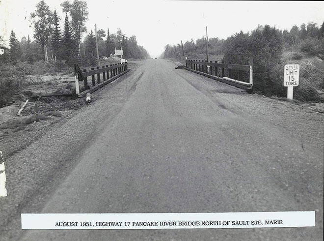
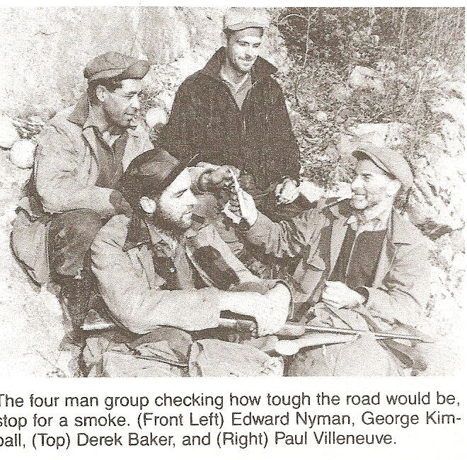
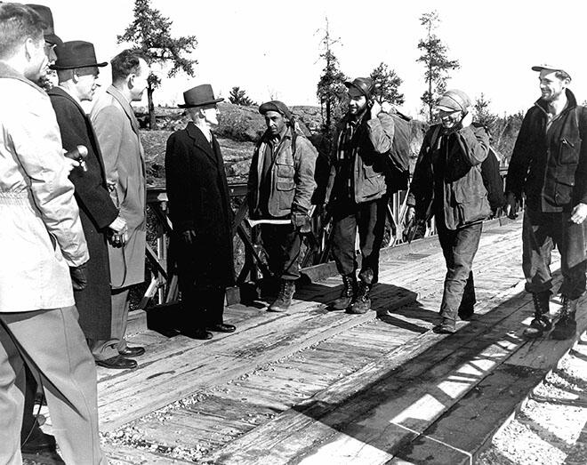
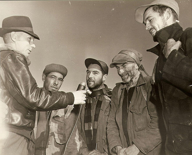
By 1951, the residents of Wawa had had enough. It was time to bring awareness to their plight and make headlines. Uniting together, the people initiated "Operation Michipicoten". Their plan: walk the last 60 miles of shoreline from Wawa to Sault Ste. Marie to prove that if they could do it, certainly the engineers could build a road. Four men: Derek Baker, Paul Villeneuve, Edward Nyman, and George Kimball, all descendants of pioneers who helped build the North and accustomed to bush travel, set south on foot.
Following directions on a 1935 surveyor's map, they made their way over the rugged terrain, their only means of communication a portable radio. To add drama and urgency to the project, business owners convinced the four trekkers to take their time -- although the trip took 17 days, it could have been made in a shorter time frame, as early mail carriers had been making the trip in three days. But that did not mean it was an easy journey either, because the four men did meet bad weather along the journey. Upon reaching Sault Ste. Marie, a banquet was held in their honour, and all three political candidates at the time pledged to complete the road. If elected.
Closing The Gap: Excitement Builds For Motorists
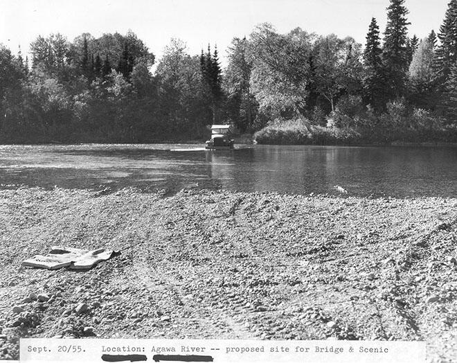
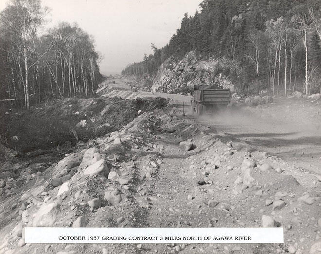
In 1959, the 80-km route from Agawa to Wawa was finally cut through, but the road was so rough it took eight hours to drive from Wawa to Sault Ste. Marie, which today, would take about two hours. Eager and excited, but perhaps daring or foolish, drivers first took to the road in December of that year. And daring they were because a bridge at Old Woman River did not exist, inventive Wawa residents built their homemade log bridge to cross the river! To ensure work continued on the highway and to keep it safe for everyone, the Government had no choice but to put up barricades with Ontario Provincial Police standing guard until the road was officially completed.
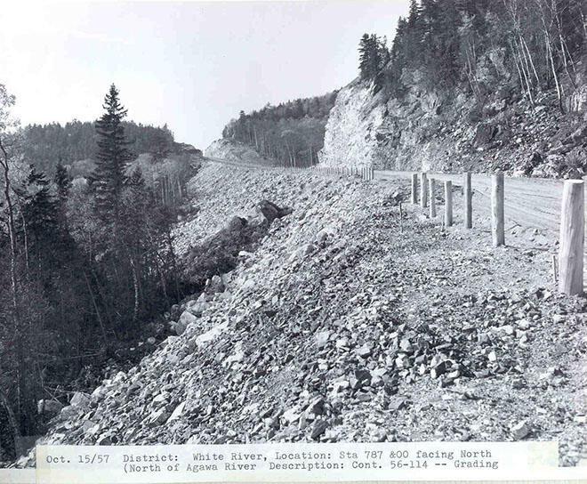
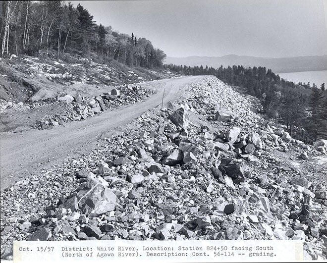
Below are some historic photos of the construction:
The Grand Opening: Birth Of The Wawa Goose
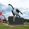
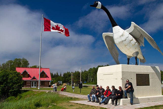
On September 17, 1960, the Gap was completed. Several politicians and members of parliament made the journey to Wawa for the ribbon-cutting ceremony that marked the opening of the final Ontario section of the Trans-Canada Highway 17. The Wawa Goose, one of the most photographed landmarks in North America, was also unveiled that same day. The creative idea of local entrepreneur Al Turcott, the Wawa Goose was created to not only stop new highway travellers at the junction of Highway 17 and 101 but to encourage them to visit Wawa and the area. It's amazing what a 27-foot-high, 150,000-pound goose can do!
The Gap, the last link of the Lake Superior section of the Trans-Canada Highway, was the most expensive section in Ontario and was one of the most difficult terrains that road crews encountered in Canada. In the end, engineers blasted 2,087,234 cubic metres (2,730,000 cubic yards) of rock, removed 5,982,641 cubic metres (7,825,000 cubic yards) of earth, and cleared 6.97 square kilometres (1,720 acres) of forest to bridge the 266 km of wilderness.
Without the dedication of the Wawa townspeople and the four men who trekked through the forest to prove that anything is possible, we would not have this beautiful stretch of highway along the coastline of Lake Superior that travellers enjoy by car, motorcycle, and RV year after year. Learn more about The Grand Algoma Ride at www.algomacountry.com
Thank you to Wawa local historian and author Johanna Rowe for the valuable information to write this article. Johanna is based out of Wawa and, for over 20 years, has provided heritage research and interpretation for many clients and projects. For more information about Johanna and her work, visit www.wawahistory.com
Recommended Articles
The Group of Seven in Algoma

9 Facts to Know about the Agawa Canyon Tour Train
