New Hiking Trails in Desbarats
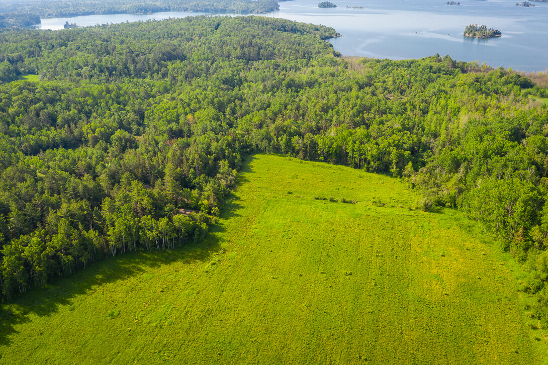
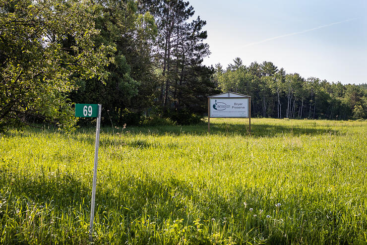
One afternoon, we hiked the Foster Parkland and Walking Trails maintained by the Central Algoma Land Trust (formerly the Kensington Conservancy). The trailhead has moved, and now the beginning of the trails is located at 69 Boyer Drive at Central Algoma Land Trust in Desbarats, east of Sault Ste. Marie and about a 40 to 50-minute drive.
The Central Algoma Land Trust is a land trust that protects lands and waters through land donations, land purchases, and voluntary conservation agreements. Foster Parkland and Walking Trails are on donated land to the conservancy. Janet and Maurice Foster and their family donated this unique piece of land. See this map for all of the properties now preserved through the Conservancy. The Central Algoma Land Trust website has further information about this fantastic organization. The Conservancy has worked extremely hard preserving the current Foster Parkland and Walking Trails and clearing the newly opened 1.7 km loop on the south end.
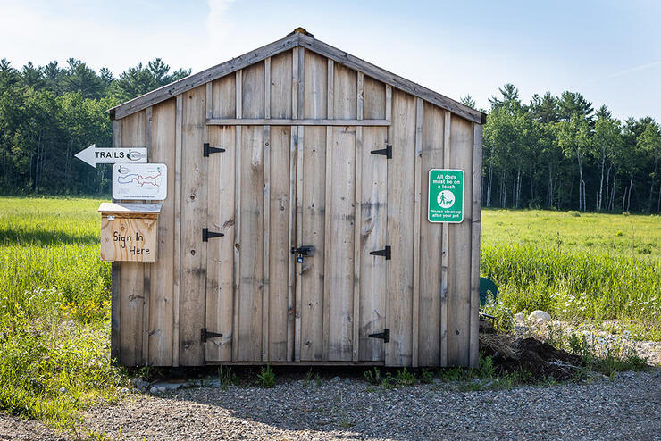
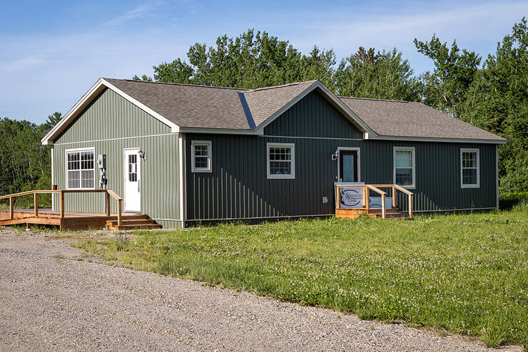
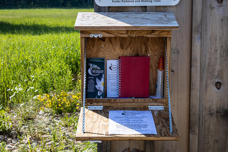
When you reach the trail area on Boyer Drive, the parking lot is on the left side of the building. The Trail signs are well marked, and please sign in in the guest book.
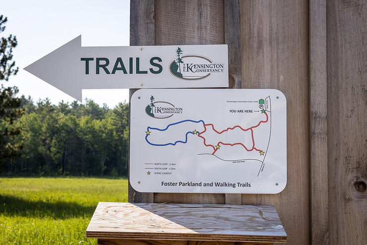
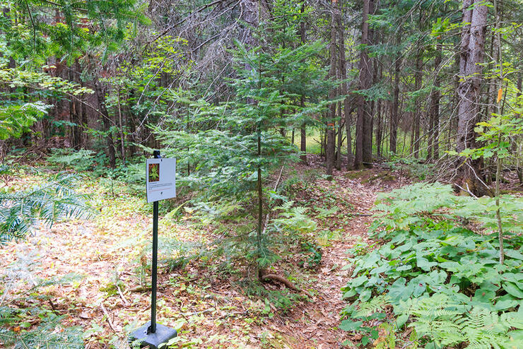
The beginning of the trail takes you through a field and up into the mixed forest. Along the trails are information plaques or interpretive signs that teach you about the flora you encounter along the trails. You will learn about an unusual number of species of trees growing here, such as the Red Maple, White Spruce, Ironwood, Sugar Maple, Red Oak, Large Tooth Aspen, Striped Maple, Mountain Maple, White Birch, Eastern White Pine, Red Pine, and Balsam Fir. Plants on the forest floor include False Solomon’s Seal, Staghorn Sumac, Round-Leaved Dogwood, Trembling Aspen, Reindeer Lichen, Star Flower, Canada Mayflower, Spotted Touch-Me-Not, Common Juniper, Velvet Leaf Blueberry, and Common Strawberry.
Of great interest are the Dead Standing or Snag Trees, as they provide habitat for various animals and birds, but are dangerous to hikers. I knew them to be called “widow makers” because they would fall on a person trying to cut down a dead tree. The top would break off and kill or injure the person below.
It is a very informative hike with an amazing amount of differentiation in the flora. The terrain is quite diverse, from a grassy field to sharp inclines and declines with loose rocks, so make sure your footing is solid as you walk. I found it quite useful to use a walking stick to help with balance. I would categorize these trails as more on the difficult end of the scale due to the unevenness of the terrain.
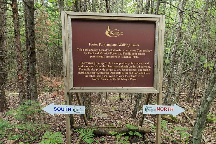

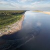
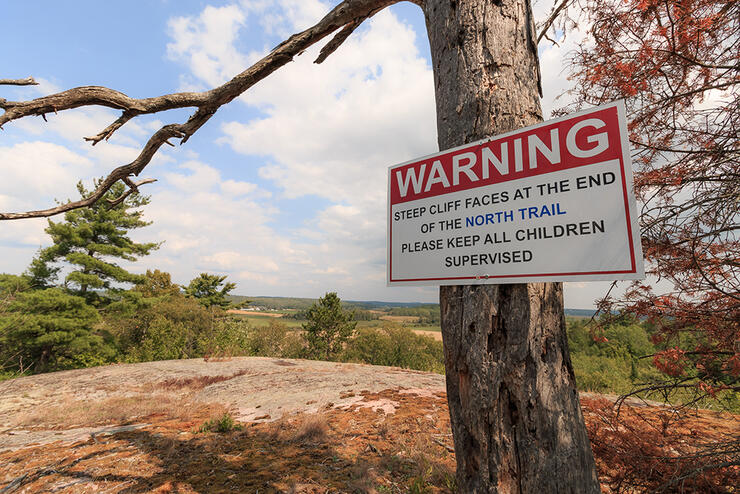
A short distance into the trail, you encounter a wonderful wooden bench and your first “fork in the road.” You have the choice to go either left or right. We started to the right. It is an uphill hike to an amazing northeast lookout over a rock cliff facing the Desbarats River and the Portlock Flats. Upon this cliff, you can see beautiful forest land, farmland, and the Trans Canada Highway. You need to be careful with pets and children around the cliffs. You do not want to get very close to the cliff’s edge. Pets should be leashed at all times, not only for the cliff but also for the poison ivy that is present off-trail.
The rock formations you encounter along the hike are unique in their own right. If you are a rock enthusiast, click here for historic information regarding the geology in the area. You must return back down the same trail to hike the south end, as this trail does not loop around. This trail to the right took us about 30 minutes round-trip.
Once back at the “fork in the trail” by the wooden bench, we then went left to hike two different trails. The first is the original trail that takes you to the new 1.7-km looped trail. Both trails are well-marked, so there is no confusion.
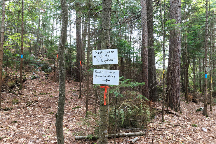
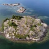
If you are more adventurous and want to finish hiking the new 1.7 km South Boyer Loop, follow the new signs. This 93-acre property was purchased from the Boyer Family in 2016 so that it could be protected in perpetuity. Volunteer Dave Moule gave of his time to create this hiking trail. You have two choices to do the trail loop: you can hike counterclockwise, which takes you down along the St. Joseph Channel shoreline, or hike clockwise, which takes you up to the scenic lookout facing southwest over the islands in the St. Joseph Channel. Either way, you will finish the complete loop. This will take about an hour. You can then exit back onto Mink Point Road or double back along the trail to the parking lot.
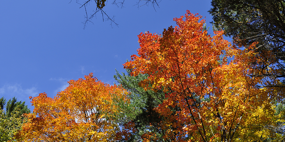
The Central Algoma Land Trust has added more trails. The new 1.7-km Boyer Loop is a welcome addition to the original trails for a great afternoon outing. I can hardly wait to go back in the fall to see the colour of the leaves changing for a more colourful view.
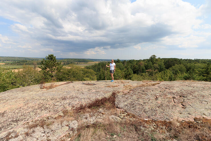
Hiking is fun, but come prepared. Good hiking shoes or boots are a must to protect your feet and ankles from sprains. I found it beneficial to use a walking stick for balance on these trails, as the terrain is very uneven and hilly. Bug spray prevents unwanted welts and bites. I always carry a whistle and bear spray just in case of any unwanted encounters. The only wildlife we encountered were a lot of birds, chipmunks, and squirrels. Lastly, carry water, as it is important to stay hydrated.
I will definitely go back and enjoy hiking these trails again. The fall colours should add even more beauty to this hike. Remember what you take in with you, you also take out. Please, no polluting. Stay on the trails to preserve the ecology in the area and to prevent yourself from coming in contact with poison ivy. If you bring your furry friends, keep them on leash and pick up after them. Enjoy the hard work of the Kensington Conservancy by hiking for body and mind.
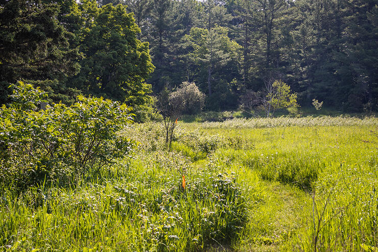
Follow the Central Algoma Land Trust on Facebook. Learn more about the Boyer Preserve Hiking Trails.
Recommended Articles
The Group of Seven in Algoma

9 Facts to Know about the Agawa Canyon Tour Train
