Hiking & Hospitality in Timmins: High Falls
I’m convinced that the farther you go in Northeastern Ontario, the friendlier the people are. Which, on my first visit to Timmins, Ontario, meant that hiking and hospitality went hand-in-hand. Because I didn’t just discover a huge variety of trails to explore—I also learned that the locals here will go out of their way to help you find them.
Urban promenades, hidden glacial anomalies, and waterfalls
For a city of 45,000 people, Timmins offers a lot when it comes to its trails, and there really is something for everyone here. Since this was our first visit, Henk and I decided to explore three of them.
Grassy River/High Falls Trail
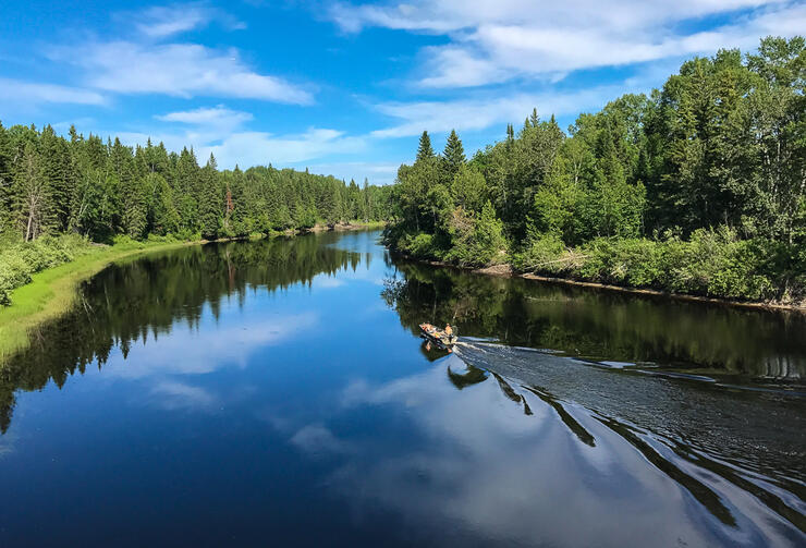
Our hike to High Falls turned out to be a highlight of our visit to Timmins, not just because of its rugged rapids and trails, but because of how Henk and I got there: for this we have our unexpected guide, Stefany, to thank. Stefany was working at the reception desk of the hotel, where Henk and I were staying. When I asked for the best way to get to the Falls, almost immediately Stefany offered to take us there, insisting it was easier than giving us directions, and she even offered to hike the trail with us after finishing work.
Her offer was a huge bonus since the trails are probably 25 km from town off an unfamiliar, dusty dirt road. Although the High Falls turnoffs were well-signed, having a local show us the way to the best access points to the trail saved us what might have been a lot of wasted time.
High Falls
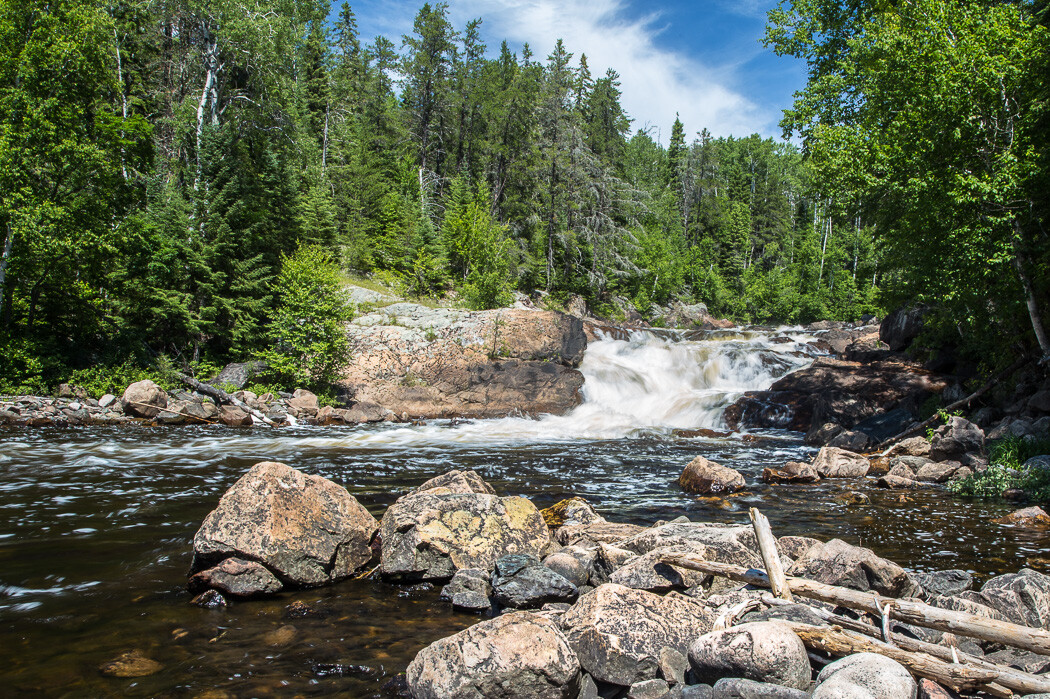
As Stefany explained, there are actually two sets of falls here: a steeper cascade upriver and a shallower set of rapids farther downstream where the Grassy River flattens out.
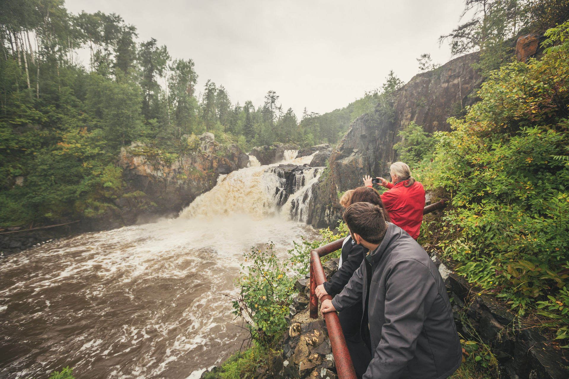
High Falls is definitely the more dramatic, with the river plunging over a steep ledge, kicking up a fair bit of spray as it crashes down over iron-rich boulders. With pine trees clinging to the edge of the river’s rocky bank, this is the kind of rugged landscape you’ll only find in the heart of the Canadian Shield.
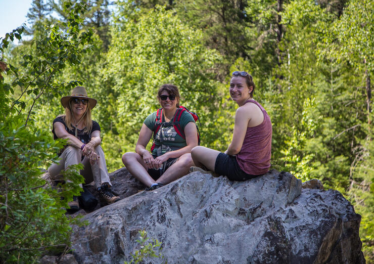
Following Stefany and her friend Kayla, I climbed out onto an overlook just downstream of the falls, which turned out to be the perfect spot to enjoy the view while cooling off from the refreshing spray. Even a wild iris that we found growing between the rocks seemed to know it was the perfect place to be.
Continue downstream to “Low” Falls
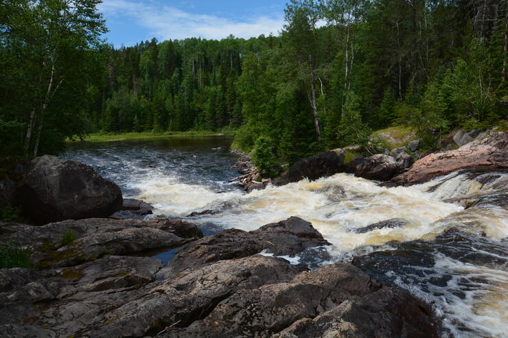
Although High Falls Trail is named after the waterfall upriver, there is actually another set of pretty impressive rapids if you follow the trail downriver. The trail becomes narrower, steeper, and a bit more difficult as you go farther downstream, but you’ll see the rapids just before the river levels out and widens at the bottom. Once at the bottom, you can easily walk out onto the rocks and get a great view of the white water upstream, along with the pretty shoreline all around.
Our hike to High Falls wouldn’t have been nearly as enjoyable if it hadn’t been for Stefany’s offer to take us there. Henk and I had the company of people who knew the trails and obviously love adventure and nature. Beautiful scenery is one of the benefits of living up north, and these young women were happy to show us one of the best hikes in the area. When it comes to hiking and hospitality, Timmins over-delivered.
(Photo: Grownup Travels)
Practical Information
ACCESS:
Take Hwy 101 about 4 km west from the Canadian Tire in Timmins’ west end. Turn left onto Mattagami River Road (near mile marker 322) where you will almost immediately cross a bridge, and after another 2 km, turn right at the stop sign. Continue about 6 km, crossing the river again over another bridge, and 1 km later you will see a sign on the left for High Falls. Drive another 12 km in, where there is a turnoff to a bumpy road that requires a car with high clearance. Or you can leave the car here and hike the remaining 2 km to the “Grants Way” trailhead sign, which is the access to High Falls.
For access to the lower falls, walk or drive another ½ km left along the road until the dead end where there is an opening in the trees that indicates the unmarked trail down to the river.
DIFFICULTY: 3-4/5
The Grants Way access trail to High Falls is a well-trod trail that slopes down from the road and is easy to follow, although it is not marked at all. The trail continues downstream along the top of the riverbank, becoming narrower and steeper until it levels off at the bottom. Leaving the trail to climb out onto the rocks at any point requires good footwear, balance, and agility.
“Lower” Falls: 4/5
The unmarked downhill trail is a steep, sandy descent to the bottom where you can then follow the trail upstream on the top of the riverbank. Really adventurous hikers may choose to pick their way upstream among the rocks, but be careful as you’ll need to choose your footing wisely and the rocks may be slippery.
WHERE TO STAY

Cedar Meadows Resort & Spa is only five minutes from downtown Timmins and offers everything you’d want in a Northern Ontario setting: from comfortable rooms, suites, and chalets to a full-service spa including Nordic Baths. With its pretty grounds and banquet facilities, it’s easy to see why this would be a premier destination for weddings and conferences as well.
The Le Voyageur Dining Room is convenient if you don’t want to leave the hotel, and serves up great food (take the advice of the server and try their delicious bread!). There’s even a Wildlife Park on the property where you can join a tour and feed the friendly moose, elk, and deer who call this place home.
