Georgian Bay's Buried Treasures
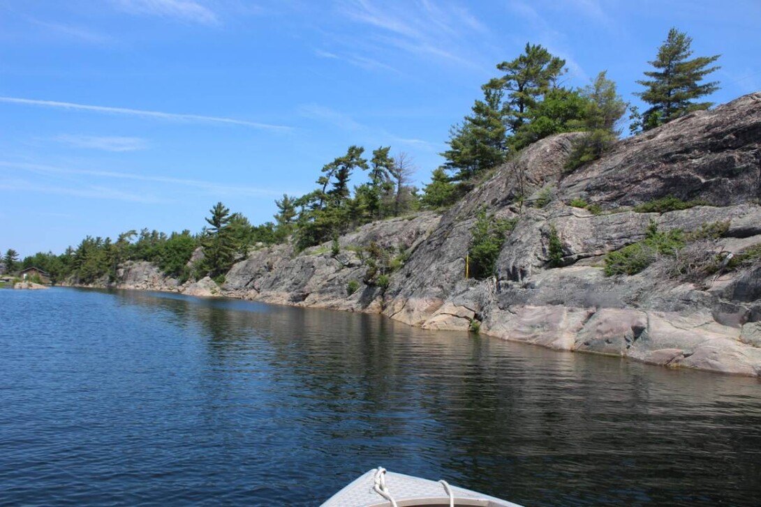
I have lived in Parry Sound, along the shores of Georgian Bay, for the most part of my life, yet I have only been physically boating on Georgian Bay three times. I honestly do not know the Georgian Bay/Big Sound area very well; big bodies of water both fascinate and intimidate me. With 30,000 islands, it's easy to get lost on Georgian Bay if you don't know where you are going. However, with the right tour guide (in my case, my boyfriend), getting to know this part of Ontario is not as intimidating!
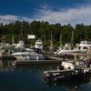
We spent the weekend touring and exploring the north channel out of the Big Sound (Parry Sound Harbour), the north channel takes one up to Point Au Baril from the Parry Sound Harbour.
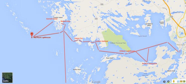
We got to the marina around 11 am on Saturday in the morning, after sleeping in from a long work day the previous Friday. We packed up a small Stanley Steel workboat with a 50hp Honda for our adventure up the North Channel. We were blessed with the most ideal boating conditions; it was close to 30 degrees, with minimal wind and smooth waters. We departed across the Big Sound, passing the Coast Guard and the Salt Docks, and made our way towards the North Channel.
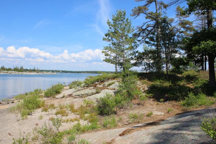
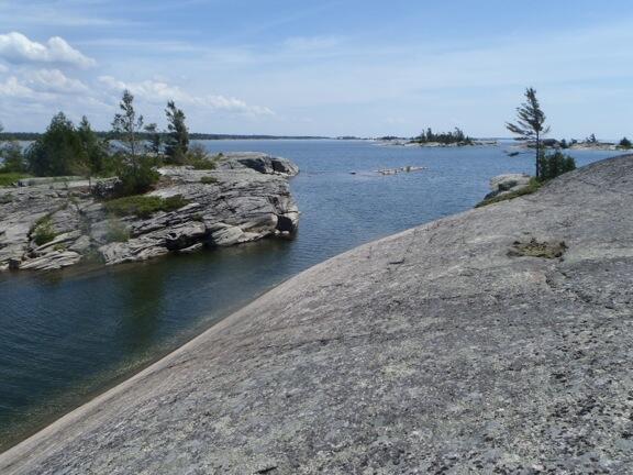
We passed Killbear Provincial Park, famous for its camping and combination of sandy beaches with the rock ridges and pines of the Canadian Shield. Just after passing Killbear Provincial Park, I was taken to see what used to be submarine chaser that someone had bought and left in this back bay. Through rigorous searching on the internet for the history of this boat, I was unable to find anything to verify the identity of it. There was not much left of this onetime submarine chaser: part of a motor, some wood, and a stack was pretty much all. I was told it used to be more in a boat form, but over the years, individuals stealing wood and parts from the boat, along with natural wear and tear, have worn it down. It was really cool to see nonetheless.
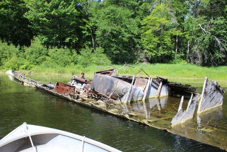
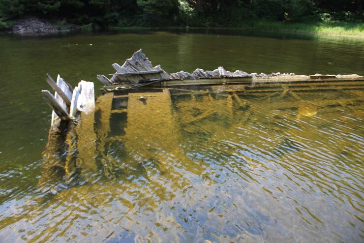
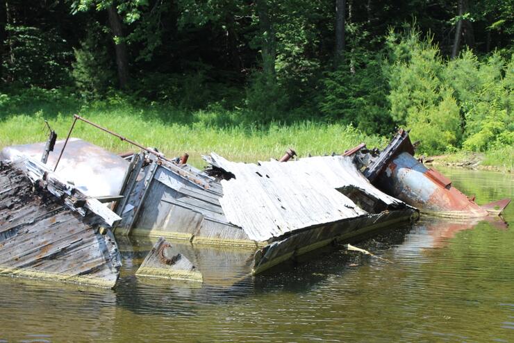
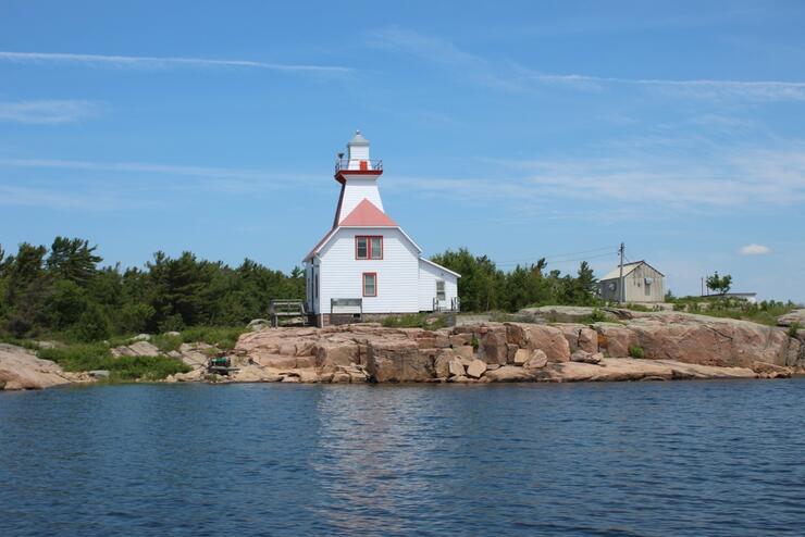
We continued on into the North Channel, passing through Canoe Cut – a really cool passage through the rocks which looked out onto the open waters of Georgian Bay. When getting into Snug Harbour, we passed the lighthouse and ventured into some “secret” back bay where I was shown another sunken boat.
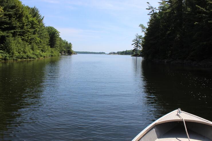
This boat apparently was sunk on purpose due to the owner of it constantly parking it there when he was not supposed to. I actually could not find it at first as I was not wearing polarized sunglasses (which make a HUGE difference in visibility when on water), but when we started to float over top of it, the bow of the boat appeared creepily in the water. I had never actually seen a sunken boat under water before, so seeing this sunken sailboat reminded me of a scene from Titanic. It was really cool to see as the boat was pretty much all in one piece.
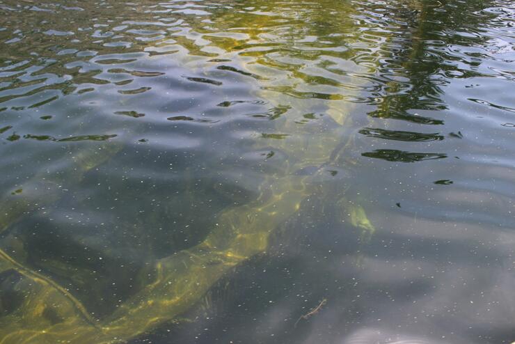
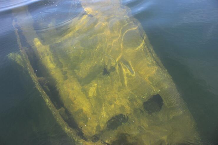
After taking pictures and talking about the sunken sailboat, we toured through some of the Islands surrounding the popular boating destination Franklin Island. While doing so, off in the distance you can see Red Rock Lighthouse (which is a lot larger than I thought it was going to be)! I convinced my boyfriend to boat us out there as I really wanted to see it.
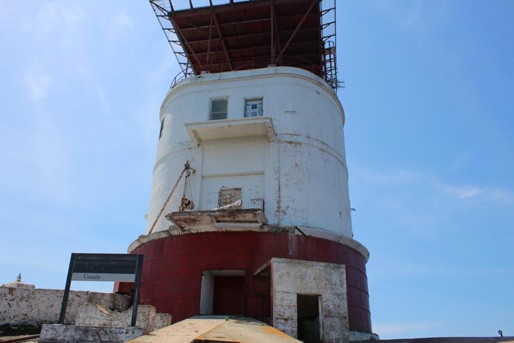
Red Rock Lighthouse was first built November 3, 1870, and acted as the marker to the entrance of Parry Sound. The lighthouse was named on account of the rock it was built on, which has a reddish granite colour to it. Red Rock Lighthouse was exposed to the full force of all western storms and to the full sweep of Georgian Bay. In severe storms, the sea could break over the entire lighthouse, and after a decade, the wooden cribwork pier was becoming unsound. During the 1894 season, a steel cylinder, standing 12.5 feet tall and with a diameter of 45 feet, was placed on the rock and filled with stone masonry and Portland cement to form a new foundation for the lighthouse. The present 57-foot-tall cylindrical tower, built out of reinforced concrete and topped by a polygonal iron lantern, was erected in 1912.
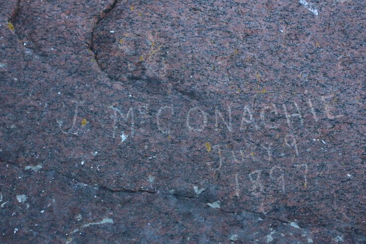
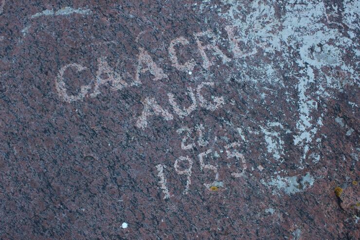


All around the structure, there are names and dates etched into the rock, some names of the light house keepers which I thought was so amazing that after so many years the names and dates have not worn away or have become covered with moss.
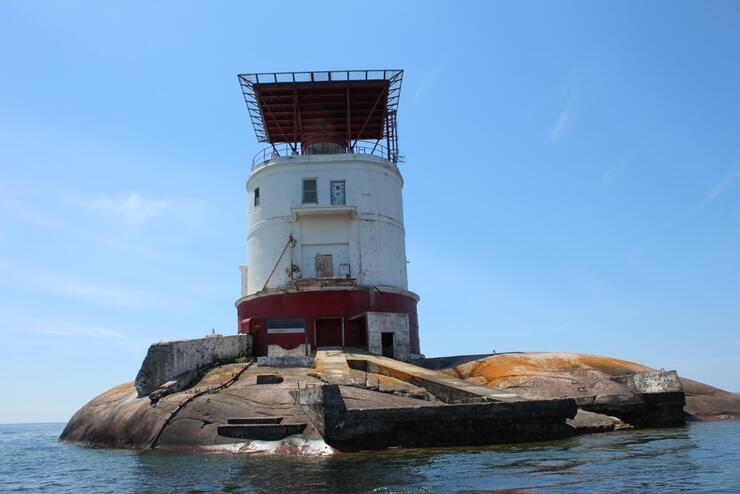
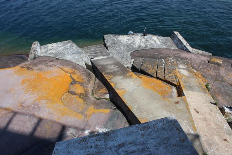
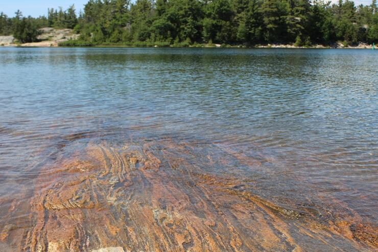
We adventured around the lighthouse, had a quick snack, enjoyed the beautiful view of the wide open waters of Georgian Bay, and decided to head back in to explore Garnet Island and go swimming back at Franklin Island. I am amazed and fascinated at the history of Georgian Bay.
We were originally going to swim at Garnet Island, which overlooks the open waters of Georgian Bay, but since it was overly packed with campers and partiers for the long weekend, we chose to head back to Franklin Island, where we spent the rest of the day swimming and exploring.
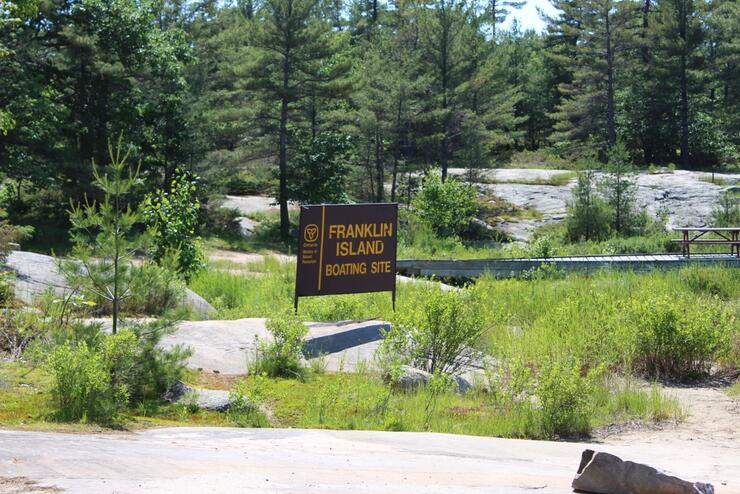
We finished off the day by leaving Franklin Island (Regatta Bay) with sunburns and really knotted hair, and boated down the shipping route to the South Channel ,where we went to the world Famous Henry’s Fish Restaurant on Frying Pan Island. We had a wonderful meal with great service at Henry’s, then left around 5 pm, heading back to town via the South Channel.
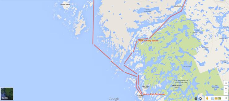
It was an amazing day boating, exploring and learning about Georgian Bay. When going out on Georgian Bay, be prepared: make sure to bring proper maps (regardless of experience), a charged cell phone, and make sure to have the appropriate safety life vests and equipment enough for each passenger on the boat you are on. When exploring the outer islands of Georgian Bay, a storm can brew up very fast ,so being prepared for the worst is ideal. You can obtain maps and charts at the Canadian Coast Guard, the Ministry of Natural Resources or online through the government of Canada Fisheries and Oceans department.
Recommended Articles
6 Ways to Explore the Great Lakes by Boat or Cruise

Discover Northern Ontario's Top Boat Tours
A Guide to Boating the Trent Severn Waterway in Ontario
Boating Events in Ontario: A Complete Guide to Summer 2025
19 Charming Lighthouses to Visit in Northern Ontario
I Boated the Trent Severn Waterway and Here's What It Was Like
I Sailed the New Viking Octantis and Here's What It Was Like
Canadian Canoe Museum
14 PWC Itineraries and Tips for Riding in Ontario
A Thousand Adventures: Boating the 1000 Islands in Ontario
Road Tripping with your PWC
Boat Tours and Cruises in Ontario
A Guide to Ontario's Marinas

5 Baller Boating Destinations in Ontario

Amazing PWC Getaway
