Brennan Harbour Resort
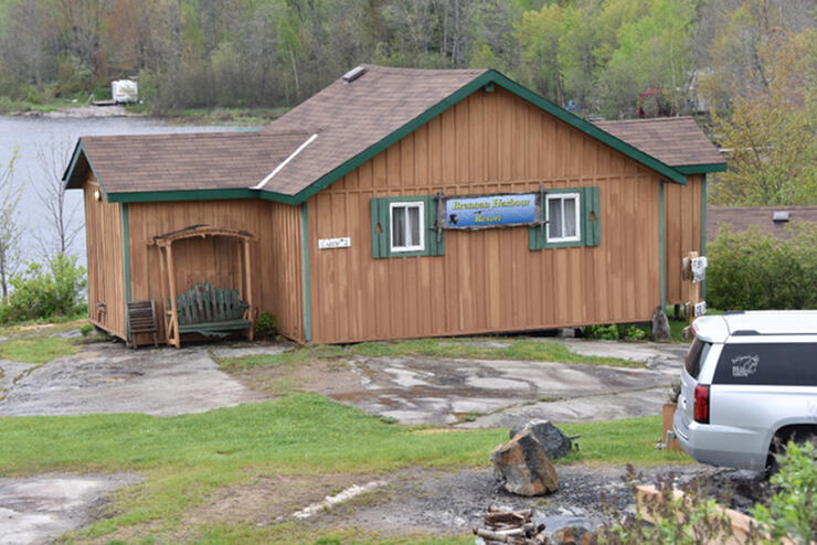
I’ve been blessed beyond belief to travel the world the last four decades living the dream. Having said that, there are just some places that I want to get back to. Brennan Harbour Resort in Ontario’s Algoma Country is one of those destinations. Why? Because there’s so much water to explore that I didn’t have enough time to fish on my previous trips to that region.
The resort is a five-hour drive north of the city of Toronto. Because it’s a drive-to destination I can take my own boat and as much tackle as I want. There are plenty of species that you can target and unlimited water to explore. Brennan Harbour Resort is in the Whalesback Channel, on the east end of Georgian Bay’s North Channel. This junction, where Lake Huron and Georgian Bay meet, is an amazing section of the Great Lakes. There are so many open water areas, islands, humps, bottlenecks and bays giving you endless places to fish.
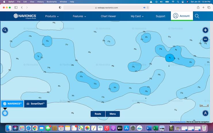
One of the most important items that I include in my fishing equipment measures less than two inches in size—it’s my Navionics GPS card that has this area of the Great Lakes on it. The amount of information available on these still amazes me. Before this technology, it was whatever paper charts were available for both navigation and finding potential fish-holding spots.
My electronics of choice are Lowrance GPS/sonar units. Once the Navionics memory card is plugged in you can see where you are on the screen. Once the boat’s in the water at a destination like Brennan Harbour Resort the first thing I do is put a GPS icon, like a house, as a reference to where my home base is. My GPS trail is of utmost importance for travelling in and around the rock shoals, islands, etc. I like to follow the same trail to get back to the resort after I’m done fishing.
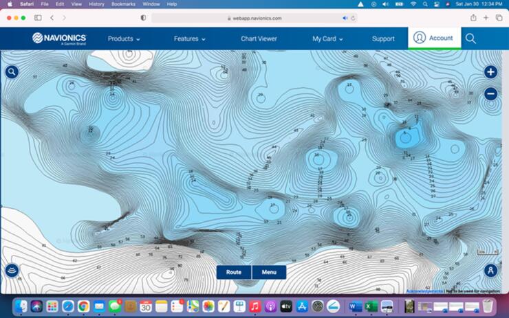
A personal rule of thumb for me is to not have the boat on plane in water less than 15 feet when navigating in this area of the Great Lakes. Hitting a rock with your lower unit can be expensive and potentially leave you stranded. When approaching shallow areas that you see on your mapping it’s best to take your boat off plane and slowly idle in if you plan on fishing. You don’t want to spook the fish with the big motor if they’re up in skinny water, and you never know where there’s a lone rock or shoal that can do some lower unit damage.
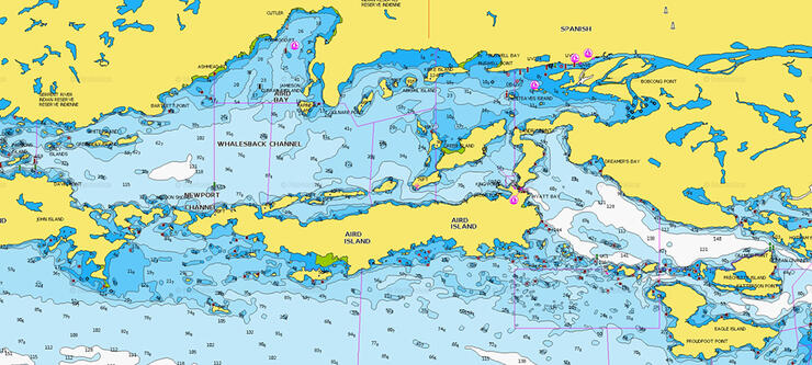
A good pair of polarized sunglasses is a must for the clear waters in this part of the world—I’ve worn Costa sunglasses for years now. You would be amazed at how many fish you see cruising the shallows. Sand, rocks and weeds are easily identified with the polarizing effect as well.
Mapping tools like Navionics is so key for finding, and going right to, a potential fish-holding spot. I’ve done three separate taping trips to this area and have not had a bad one yet. Every fish I’ve caught has been a direct result of information I saw on my GPS mapping. There was no information given to me on where to fish so I was fishing by trial and error. For me, putting the puzzle together for a successful outing is always a challenge I enjoy.

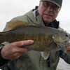
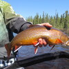
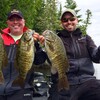
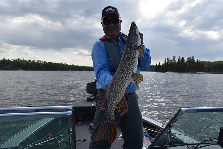
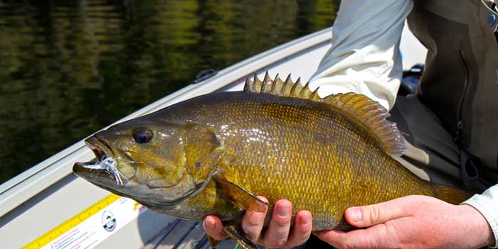
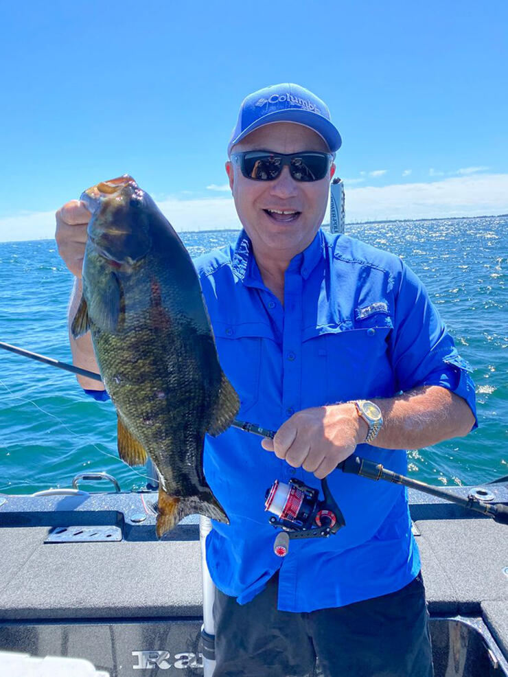
Here’s an example of just one of the many incredible days I’ve had there. Looking at the Navionics I noticed there were dozens of shallow water rock shoals. Some of them were the size of my boat, others the size of a football field. Depending on the makeup of these high-percentage areas there were either smallmouth and/or pike to be found on these. About one out of two, or two out of three, had something on them. If there was chunk rock, boulders or gravel on them, chances were the smallies were present. Put some cabbage weed or any other type of vegetation in there and that’s when I’d find some bonus pike. Do the math – the more humps I hit that day, the more fish I caught. And that, my friends, is putting the odds in your favour.
I can’t wait to get back to Brennan Harbour Resort to explore some more of those honey holes that my Navionics charts help me find!
Recommended Articles
Smallmouth Bass in Sunset Country
Small Lakes That Fish Big, Really Big Bass
Dog Lake Walleye
Jack's Lake Lodge
Casting for Coasters
Leuenberger Air Service Is Your Ticket to Ontario's Best Fishing
Best WhiteFish Tactics
Guardian Eagle Resort
Awesome Algonquin
St. Francis Titans
Road Trip Challenge
Spring Perch Fishing

Pleasant Cove Resort
A Whole Lota Lovin'
Experiencing Prince Edward County - The Angler’s Way
3 Great Walleye Lakes
Fishing The Shoulder Season
World Class Walleye
Planning for Pike
