An Epic Dual Sport Ride Along the Park to Park Trail System
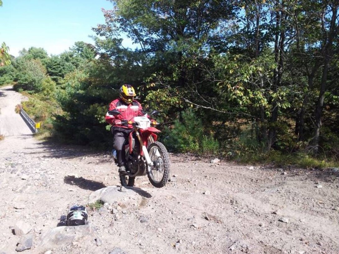
The Park to Park Trail system is a monumental network that runs from Killbear to Algonquin, covering trails from Parry Sound to the Almaguin Highlands and Muskoka. Consisting of a combination of historic rail beds, colonization roads and newly-developed trails and roads, the 230 km network is simply epic. If these trails were in remote Siberia, you'd want to get on a plane and go there. Lucky for us, they're right here in our own backyard. So, when I got the call from my friend Peter Searle, asking me if I'd be interested in being one of the first to ride a motorcycle across the entire trail system, along both roads and trails, riding one of a pair of CRF250L's on loan from Honda Canada, my answer was simple. Hell yea!
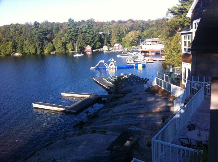
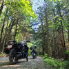
Along the way, we encountered all kinds of skill level trails–from dirt roads to mud holes, not to mention some of the best scenic backroads that I have ever seen in my many years of riding. What's more, I never even knew that we had fancy resorts in the area till I visited the Rocky Crest Golf Resort. All in all, we had an awesome adventure, and I was amazed at how light and controllable the Honda bikes were in the trails compared to the heavier Suzuki 650 that I'm used to.
Day 1
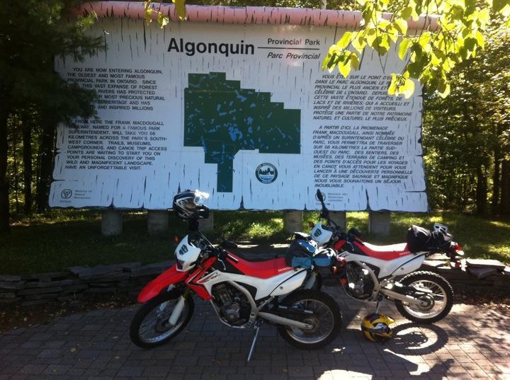
Huntsville, Ontario. We woke up to -2˚ and fog, so we took our time getting ready. Started riding from Huntsville out to the Algonquin Provincial Park West gate to begin our epic ride. After taking a break at the iconic birch bark sign, we began riding down Hwy 60 towards Oxtongue, crossing the temporary bailey bridge over the Oxtongue narrows. After heading thru Oxtongue it was a short ride to the start of the off-road section of the route, where we turned a pristine pair of Honda CRF250L bikes towards a subdued shade of dirt.
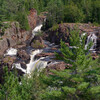
Right off the top we had both Hondas buried up to their axles in mud. After a few choice words, pushing, pulling and twisting of the throttle, we were off again to the Oxtongue River Rapids Road—a seasonal semi-maintained section with some beautiful scenery as you ride beside the Oxtongue River. After about 5 km we pop back onto Hwy 60, and headed towards Dwight on our way back to Huntsville for our excursion at the Muskoka Heritage Place, on the Portage Flyer where we were able to tour the old pioneer homesteads and get a peek at how life used to be, back before cellphones, electricity and computers.
Before hitting the road again, we grabbed a coffee to discuss the day's events so far. Then we headed north, staying off the highways on scenic back roads to Fowlers Road, where we hit the dirt again. This off-road section takes you through the little town of Melissa and brings you to Novar. We had another great time riding through some amazing trails—a blast to ride, and to keep Pete's front tire in the best possible condition, he tried to keep it off the ground as much as possible. Once up to Novar (Boundary Road), we had to travel on some dirt roads north to the Seguin Trail. We then turned East onto the Seguin Trail towards Kearney. The Seguin is a major artery connecting East to West, and there are many offshoots for the more adventurous. This is the main section of trail that Pete patrols, trying to keep clear of trees, hazards and the water issues created by our friends the Beavers (it’s a pretty big clan up here with relatives all across the region).
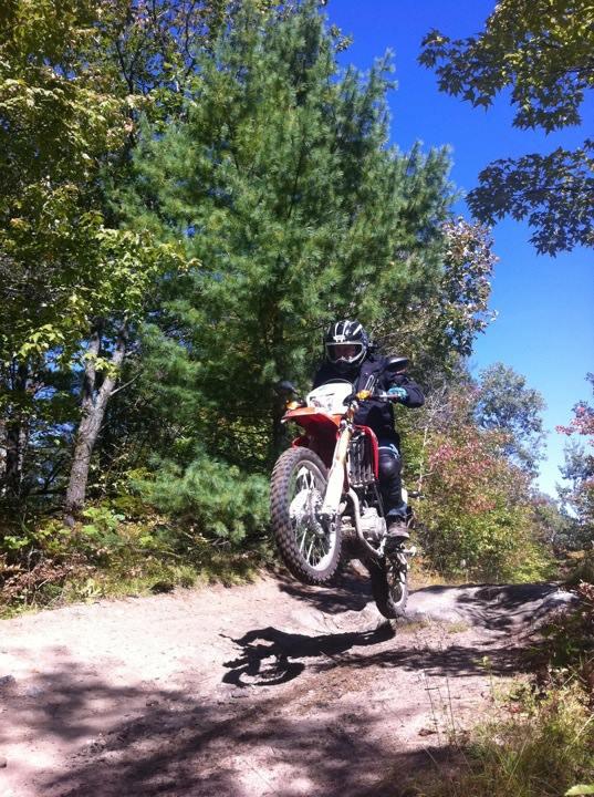
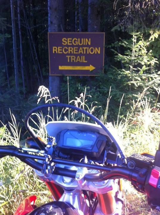
Once in Kearney we filled up at the lone gas station (Fetterleys). Heading out Rain Lake Rd towards Algonquin Park, we got to jump back off-road on another amazing section of trail. Starting to run short on daylight and with a lot of miles left to travel for the day, Rain Lake Road looked like a promising way to shave some time off our return back to the junction, where we originally hit the Seguin Trail. When we got back to that junction we took the Seguin west towards Parry Sound, which brings me back to the comment earlier about the beavers. When we came out in Novar, we met up with someone who warned us that the Seguin Trail West had a large amount of water across it in one section. We were a little hesitant about this but thought, hey, it can’t be that bad.
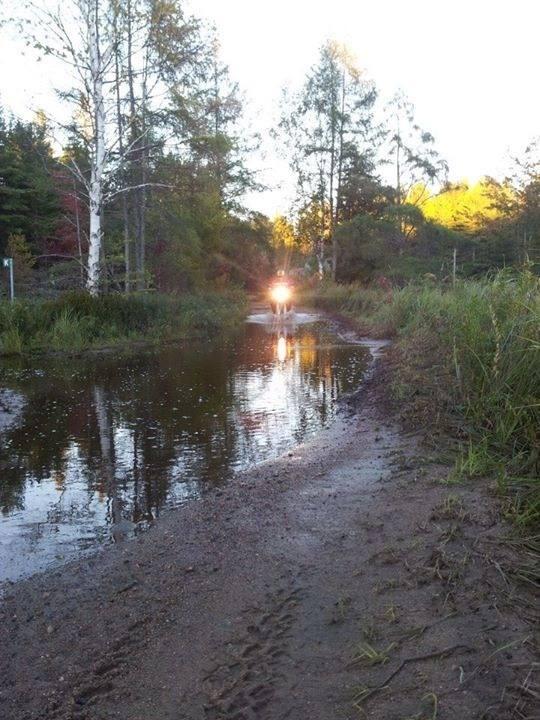
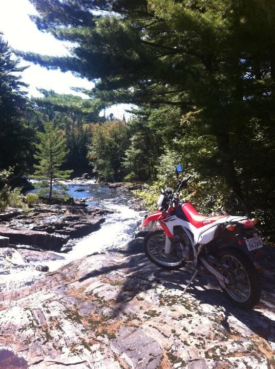
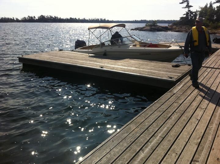
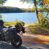
After riding West along the Seguin we crossed a couple small wet sections and all of a sudden there was water running down the trail. Turning the corner, we saw a lake on both sides and across our route. Looks like this was the area we were warned about, where the beavers had set up camp. So as I cautiously continued along the trail into it, I was amazed at how deep it was getting and concerned for the safety of my Honda CRF250L steed. The water kept rising higher and finally hit the front fender. There was no sign of engine sputter so I continued along, eventually having to allow my feet to float beside me in the water. After we both got across, it was time to head back off the Seguin as the daylight had faded to grey and night was fast approaching. It was a slightly chilly road ride to our destination for the night, the Rocky Crest Golf Resort on beautiful Lake Joseph.
Day 2
Riding west, we rode over a new bridge directly adjacent to the remains of the old concrete abutments from the original railway trestle, a good 20 feet above us. Pete remarked that they named the new one the "hanging bridge", as from what he has gathered that is what they did from the old one. Onwards we went, crossing Seguin Estates Road, along Chain of Lakes Road for quite a ways. This led us towards a side trail that allowed us to head in to check out the steam engine Pete found this past spring. This took us over Hwy 400 and brought us out near Oastler Provincial Park, leaving us a quick ride to Parry Sound.
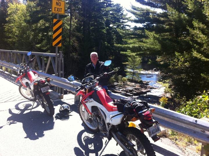
Pete remarked that most of the road section that we were on will all be changing to off-road, once the next phase of Hwy 400 is completed. From Carling station, the route was slippery and rutted but a fun-filled section of trail. After that we rode to the final section of off-road trail, made up of old logging and colonization roads, including a half-kilometre section of corduroy trail. What is corduroy trail, you may ask? Well, what they did back in the day was cut trees and lay them across wherever they wanted a road, then covered them with fill. Have you ever seen a log coming up through a road? More than likely it's corduroy.
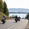
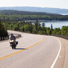
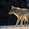
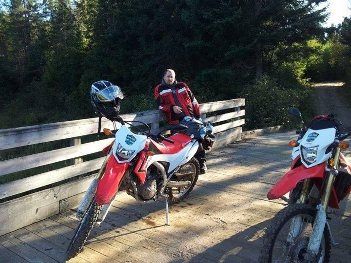
We're now at the “t” turning West onto the Shawanaga colonization road. We soon met up with an ATVer, sporting the newest helmet design in the shape and size of a baseball cap, and we both wondered how it would handle a hard hit. It was an easy ride from there back to the tarmac, where we followed it all the way to Killbear Provincial Park, where I was able to sneak up to a deer grazing alongside the highway, a feat only a quiet Honda could accomplish. This ended our Epic Ride, but not our trip. We still had to head back to Rocky Crest Golf Resort for our final night of R & R.
Day 3
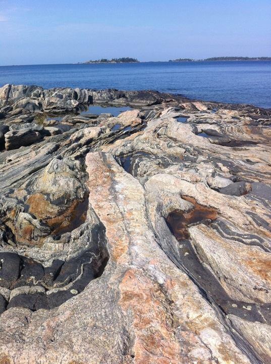
Running a bit late, we saddled up the CRF250L's with our camera gear and headed off to meet up with Anne and Joe Bossart, of Red Rock ecoAdventures, in Parry Sound. We departed out into Georgian Bay, where we toured the 30,000 Islands and made our way to Wreck Island. We were given the grand tour of everything from the rocks and how they were formed to the wildlife, and even the area's history. Unfortunately, I had to be back in North Bay that afternoon, so we had to cut the tour short and headed back to the bikes to ride back to Huntsville, where I left my loaner Honda with Pete and headed home.
In the end, we came to show off how awesome the Park to Park Trail system is, and to do the whole thing from end to end on motorcycle, and we did. It took us 3 days, but in retrospect I would recommend taking your time and spending a week to do the whole thing. Either way though, it was best 3 days off I had over the entire summer.
Recommended Articles

Bucket List Motorcycling in Ontario, Canada 2026

Ontario's Best Twisties: Five Roads to Get Your Lean On

The Big Belly Tour—A Complete List of Ontario's BBQ Joints

It's Bike Night in Ontario 2024

Ontario's Top Twisties

Have You Ridden Canada's OG Highway? Here's Why Every Rider Needs to Hit Up Historic Highway 2
23 Amazing Photos That Prove PD13 Is Still The Best Motorcycle Event Ever

Motorcycle Swap Meets in Ontario—The Complete List for 2025

And a Vespa shall lead them all...

