Paddling the Pukaskwa National Park Coast
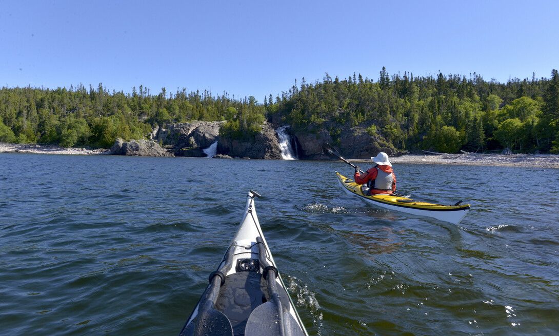
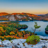
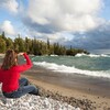
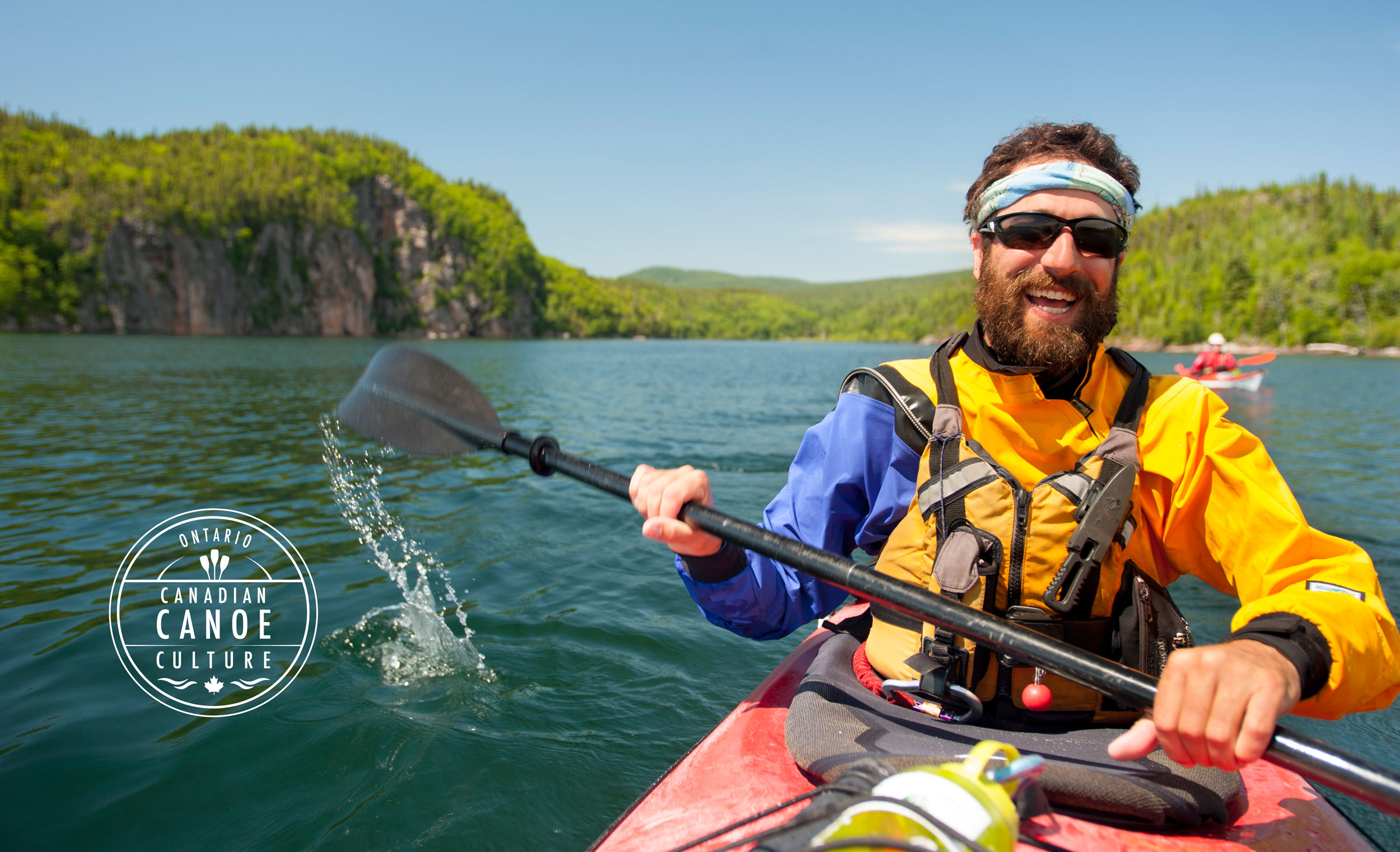
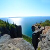
When I worked as a sea kayak guide at Wawa, Ontario-based outfitter Naturally Superior Adventures, there was stiff competition over who got to lead trips on the Lake Superior coast of Pukaskwa National Park. Pukaskwa (pronounced “Puck-a-saw”) is the most remote stretch of shoreline on the entire Great Lakes—roadless and entirely undeveloped. Here, lush boreal forest meets crystalline freshwater for over 100 kilometres of sweeping sand beaches, bold headlands and secluded coves. Parks Canada aptly describes Pukaskwa as the “Wild shore of an inland sea.”
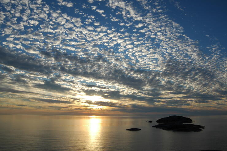
Over the years of living in Northern Ontario, I’ve been lucky enough to paddle the Pukaskwa coast 19 times—guiding sea kayak tour groups, as well as paddling with friends and venturing solo. Adventure travel has taken me across the continent, paddling in renowned destinations from the Pacific Northwest to Newfoundland, Florida’s Gulf Coast to the Canadian Arctic. But if I was granted only one more trip, there’s no question where I would go: I'd return to Pukaskwa, the coastline of my dreams.
My six favourite PLACES along the Pukaskwa coast
1. Morrison Harbour
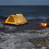
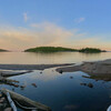
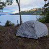
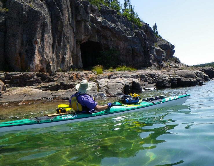
Paddling south from the park visitor centre at Hattie Cove, you immediately encounter Lake Superior’s intimidatingly vacant horizon. With few exceptions, the initial 15 kilometres of paddling has little shelter from the wind and waves. That changes at Morrison Harbour, where a screen of polished granite islands, mop-topped with wizened spruce, offers welcome respite from the big lake. A rippled sand bottom appears alluringly in the clear water, and the beautiful campsites at Fish Harbour beckon—it's the perfect place to pitch a tent.
2. One Lake Island
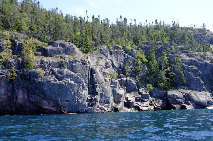
South of the shelter of Oiseau Bay, countless rocky islets, devoid of any vegetation, allude to the fury of Lake Superior. Similar to Morrison Harbour, One Lake Island (named for its singular inland pond) marks a refuge beyond this danger zone. To me, this protected channel feels like a natural amphitheatre: the mainland shore towers above, cupping a sheltered bowl where the boreal forest extends to the water’s edge.
3. Cascade Falls
This gorgeous three-fingered waterfall, immortalized by the late filmmaker, canoeist and conservationist Bill Mason, is a must-stop for coastal paddlers. To Mason, the sand and cobble campsite at the base of the falls was paradise. There’s no better place for a swim and a refreshing shower beneath the curtain of falling water.
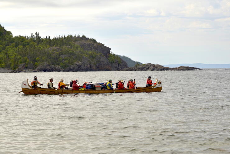
Note: A funny coincidence - Becky Mason, Bill's daughter, just happened to be paddling by in a voyageur canoe (pictured below) while I was at Otter Head. Read about her adventure on the Pukaskwa coast.
4. Otter Head
So named by the voyageurs of the Canadian fur trade, this long headland juts its rocky snout far into Lake Superior. There are stunning panoptic views of the coastline as you paddle around it—and also extreme exposure to the elements. In good weather, it’s a two-hour paddle along this rugged, unforgiving shore to the protected waters Bonamie Cove which, as its name suggests, serves as a “good friend” for coastal travellers.
5. Pukaskwa River
I always take a moment to soak in the feeling of isolation that marks my arrival at Pukaskwa National Park’s southern boundary. From the mouth of the Pukaskwa River, it’s 90 kilometres as the crow flies to the nearest road, making it one of the wildest places in Ontario. Little remains of the roughshod logging village that stood here nearly a century ago. Today, the beaches are stunning and pristine.
6. Lake Superior Highlands
While some paddlers end their Pukaskwa trip with a boat shuttle back to civilization, more wilderness waterfalls, beaches and rugged shore awaits in the Crown (public) land coastline, known as the “Superior Highlands,” stretching east from Pukaskwa River to Michipicoten Bay, near the town of Wawa. Allot 10 to 14 days to complete the full 200-kilometre coastal journey from Hattie Cove to Michipicoten.
Trip Planner for paddling Pukaskwa national park
When to Go to Pukaskwa— Mid-summer, from July 15 to August 15. Lake Superior paddlers can expect ice-cold water and fog in June and prolonged periods of strong winds in late August and September. Even at peak season, anticipate being weather-bound one in every four days.
Hazards in Pukaskwa — Paddlers will face stretches of up to 10 kilometres (6 miles) of coastline with limited landing options, especially in rough water, and the entire Pukaskwa and Superior Highlands coastline is particularly exposed to westerly winds; “white-out” fog is common, especially in June and early July; and water temperatures rarely exceed 15 degrees C (60 F), even in mid-Summer.
Get Outfitted or Go Guided — Visit www.naturallysuperior.com to learn more about self-guided and guided sea kayak and voyageur canoe trips in Pukaskwa National Park.
Resources — Download Parks Canada’s Backcountry Paddling trip planner.
