New Restrictions on What You Can Bring into Canada
Keep up to date with the changes.
By Erin Rody


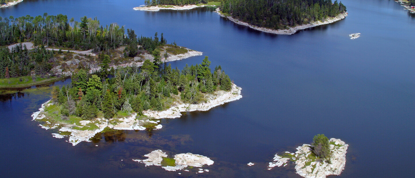

The mighty Winnipeg River System which flows from Lake of the Woods to its mouth on Lake Winnipeg starts from the outflow of Lake of the Woods, then through the Winnipeg River northwards through Northwest Ontario into Manitoba and finally drains into Lake Winnipeg. It stretches a whopping 235 km (146 mi) long from Kenora, passing by Minaki, to the mouth of Lake Winnipeg. The system includes Rough Rock, Big Sand, Little Sand, Gun, Pistol and the Winnipeg River.

This river route was used by Indigenous Peoples for thousands of years before European contact. French and English colonists also began to use the river in order to reach First Nations for the fur trade, with trade interactions for hundreds of years. It is the only major water route between what is now Ontario and southern Manitoba that was easily navigable by canoe. The Red River route was much farther south and had a longer portage. La Vérendrye was one of the first explorers to establish fur trade forts near the First Nations camps along the river.
The Winnipeg River was also the main route from the Great Lakes to western Canada before the railroads were constructed in this area. Of the three major rivers flowing into Lake Winnipeg, the Winnipeg River contributes 50% of the water.
The first navigation buoys were installed along the Winnipeg River in 1904 to aid marine traffic anticipated to support the coming construction of the new National Transcontinental Railway.
The river system is charted. You can either buy a waterproof map from Canadamapsales.com or a retailer like Wilson's Business Solutions in Kenora or Minaki Marina in Minaki, get the chip for your boat or use the Navionics app.
Winnipeg River Fishing Regulations (subject to change, always check before heading out):
From the outflow of Lake of the Woods to the Manitoba Border including the waters of Big Sand Lake, Eaglenest Lake, and English River, from the Winnipeg and English Rivers upstream to the Caribou Falls dam, Gun Lake, Hidden Lake, Little Sand Lake, Lost Lake, MacFarlane River to Ena Lake Dam, Middle Lake, Muriel Lake, Pistol Lake and Roughrock Lake, Swan Lake, and Tetu Lake.
Winnipeg River (west branch) - from Norman Dam to the westerly tip of Tunnel Island, thence in a southwesterly direction to the north-east survey post Lot B, Plan M33 (Part of Location A16)
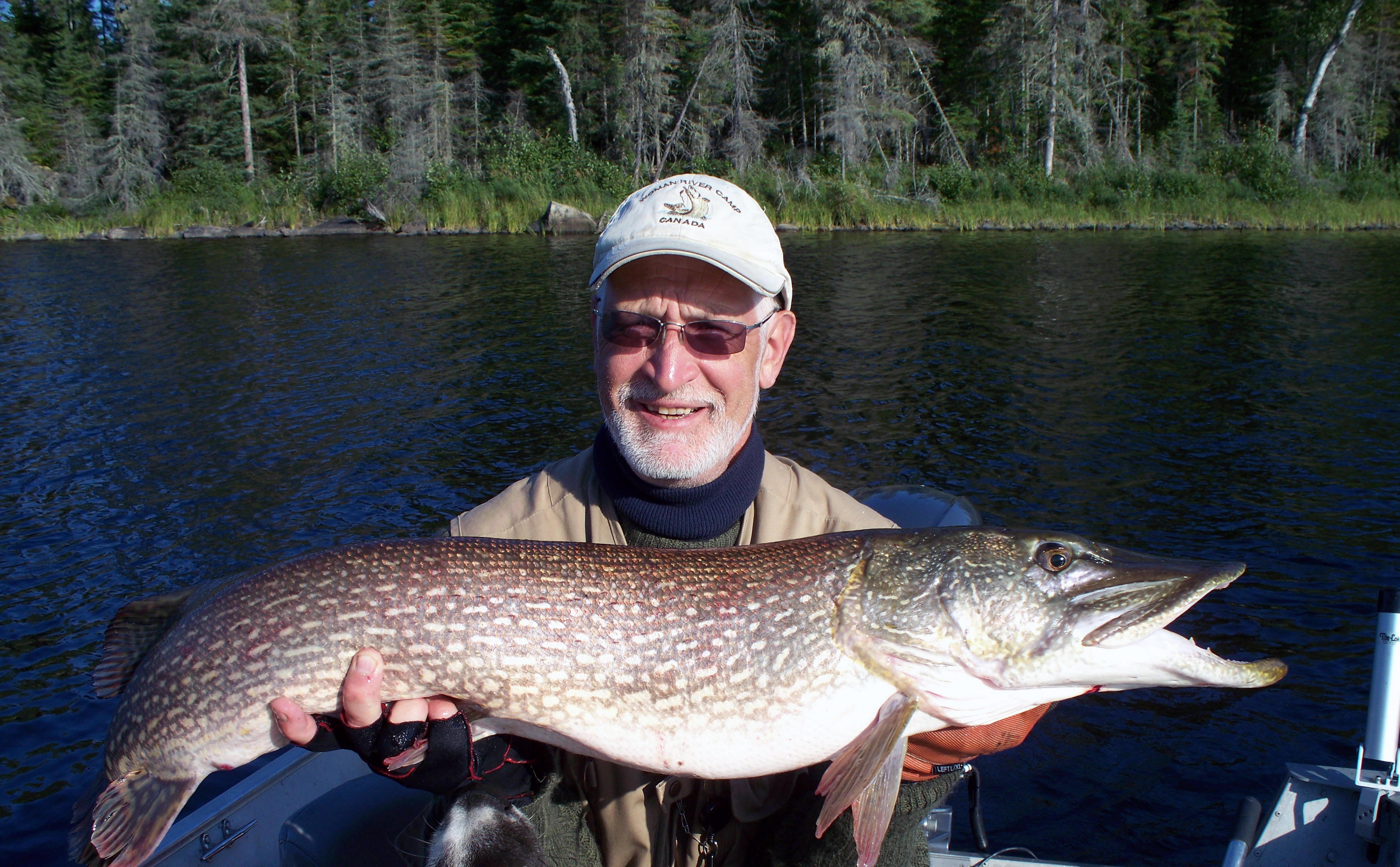
Walleye, northern pike, smallmouth bass, and the elusive muskie. Big North Lodge's tackle recommendations for fishing the Winnipeg River can be found here.
Hunt for: Black bear, deer, and moose.
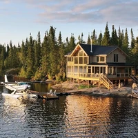
Barber’s Resort - A resort on Gun Lake in Minaki with 9 lakefront cabins located on a 30-acre property with 1800 feet of shoreline. 807-224-6411
Watch the Catch 'N Relief teaser for the full-length episode of when Pete Maina fished the Winnipeg River System at Barber's Resort.
Big North Lodge & Outposts - Located on Gun Lake near Minaki, Big North Lodge offers both American Plan (All-inclusive) and Housekeeping packages. 807-224-4318 or 1-800-387-3577
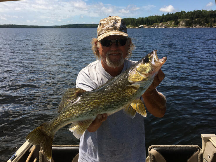
Chunky walleye caught at Big North Lodge.
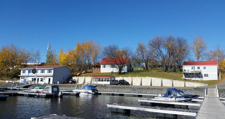
Minaki Marina - Located in the center of Minaki, in addition to motel rooms and cabins, you can find gas, beer & liquor, fishing tackle, live bait and equipment, groceries, snacks, ice, water, and WIFI. Also offered are boat launching, docking, and seasonal slips, year-round boat/trailer storage, vehicle, boat and trailer parking, marine repair shop and so much more. 807-224-2581
The Iinoo Oowan Trail, meaning canoe trail in Ojibwe, travels 170 km joining the community of Kenora with Whiteshell Provincial Park and the existing Trans Canada Trail in Manitoba: Borders to Beaches.
Following the Winnipeg River, the route was a key travel corridor for Voyageurs and is now followed by modern-day adventurers paddling across Canada. For more information on the Iinoo Oowan Trail, please visit the Path of the Paddle website.
Whether you are fishing, enjoying a boat ride or canoeing, the Winnipeg River System is a fantastic area to explore!