New Restrictions on What You Can Bring into Canada
Keep up to date with the changes.
By Erin Rody


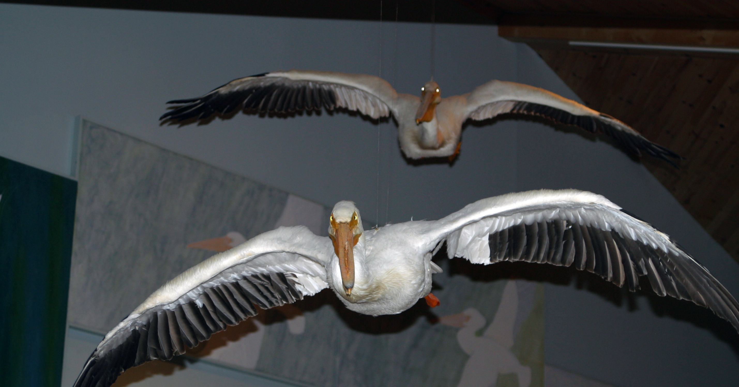
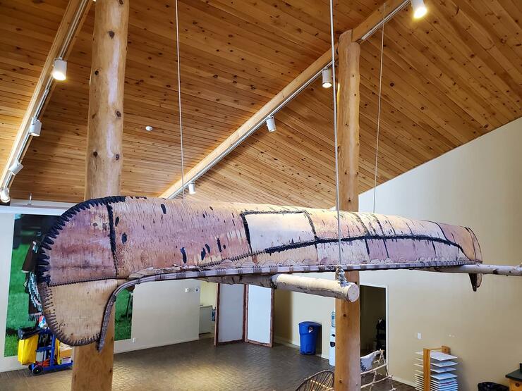
Kay-Nah-Chi-Wah-Nung (sometimes referred to as Manitou Mounds) is a National Historic Site located along the Rainy River. With the tallest burial mounds in Canada and the second-tallest in all of North America, the site holds historic significance to many. Located only 65km from the headwaters is the Mississippi River, Kay-Nah-Chi-Wah-Nung was the centre of a vibrant continent-wide trading network. Here, people gathered to trade, share, celebrate, and mourn. Come and explore over 8,000 years of history through our eyes!
Declared a national historic site in 1969, the “Place of Long Rapids” encompasses over 4km of shoreline and was once home to numerous villages and campsites, as well as at least 17 burial mounds.
Today, Kay-Nah-Chi-Wah-Nung is still a gathering place. The staff works hard at offering many events such as beading classes, blanket making and ribbon skirt making workshops, Moonlite skis and so much more. Keep up to date with these wonderful events by following Kay-Nah-Chi-Wah-Nung on Facebook.
Watch a video of Dream Catcher making at the Kay-Nah-Chi-Wah-Nung. Maybe the next time you can join in yourself.
The museum/interpretive area within the Centre guides people through the history and Anishinaabe life. From the knapping of stone tools to the development of treaties, and even the presence of residential schools, the exhibit walks the visitor through history. To get more site-specific details during the spring/summer/fall seasons, visitors can book a guided tour (walking or golf cart) where a Cultural Heritage Interpreter will join them and share their knowledge of the history of the mounds and the people who lived here.
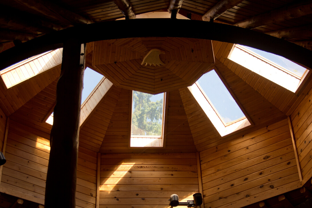
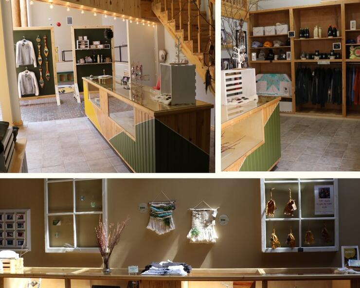
Year-round the Kay-Nah-Chi-Wah-Nung Historical Centre plays host to a range of events, workshops, annual events and exhibits with many open to the general public. The site also has a variety of spaces including the meeting space in the Centre, the Cabin, Roundhouse, and outdoor spaces, available to rent out for personal or event purposes. With a restaurant on-site, open for a period through the spring/summer/fall seasons, and an option for large group/event catering during the closed period, planning a full day at the site is an easy option.
Listen to Amik as she teaches us about the Roundhouse:
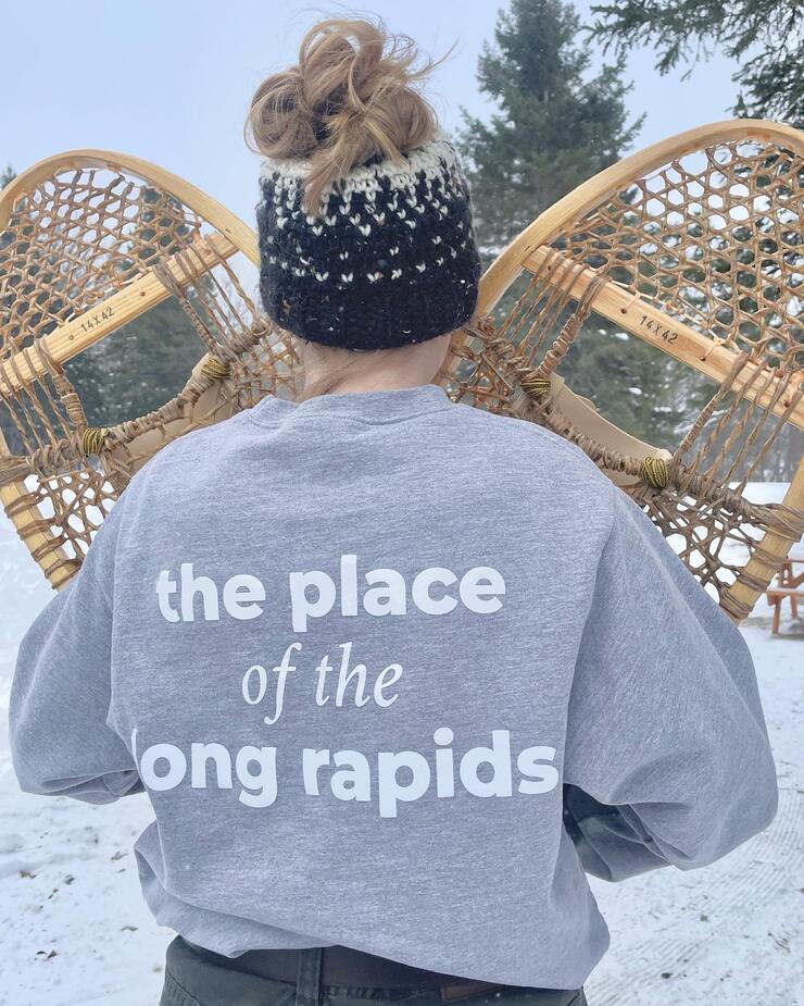
The site holds many options for those looking for a greater outdoor experience. During the spring, summer, and fall the 7k trail provides the perfect leisurely hike or bike (rentals available at the Centre) with stunning lookouts over the river, the mounds, and the oak savannah prairie, home to many rare plants. During the winter months, 5 km of the trails are groomed for cross-country skiing and snowshoeing (rentals available).
Whatever your interests, Kay-Nah-Chi-Wah-Nung has something for you.
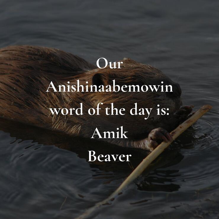
Follow their Facebook page for the daily “Anishinaabemowin Phrase of the Day”.
Kay-Nah-Chi-Wah-Nung Historical Centre
Website: manitoumounds.com
Email: mounds.rrfn@bellnet.ca
Telephone: 1-807-483-1163
From Fort Frances to Kay-Nah-Chi-Wah-Nung:
The drive from Fort Frances is an easy 40 km (38 mi) ride which takes around 45 minutes. Take Highway 11 west for about 55 km (34 mi) until you see Shaw Road. Turn left on Shaw Rd and go 2.9 km, then turn left onto River Rd for 1.7 km until you arrive at Ross Rd and the Centre.
From Rainy River to Kay-Nah-Chi-Wah-Nung:
The drive from Rainy River is only a 30-minute, 40 km (25 mi) ride. Take Highway 11 east for about 35 km (22 mi) until you see Shaw Road. Turn right on Shaw Rd and go 2.9 km, then turn left onto River Rd for 1.7 km until you arrive at Ross Rd and the Centre.
From Kenora to Kay-Nah-Chi-Wah-Nung:
Take the Trans-Canada Hwy/ON-17 E about 20 km east to the junction of Hwy 17 and Hwy 71. Turn right and go south on Hwy 71 for 154 km (96 mi) until you reach Highway 11. Turn right on Highway 11 W for 15.5 km (10 mi) until you see Shaw Road. Turn right on Shaw Rd and go 2.9 km, then turn left onto River Rd for 1.7 km until you arrive at Ross Rd and the Centre.