Adventure is Close to Home
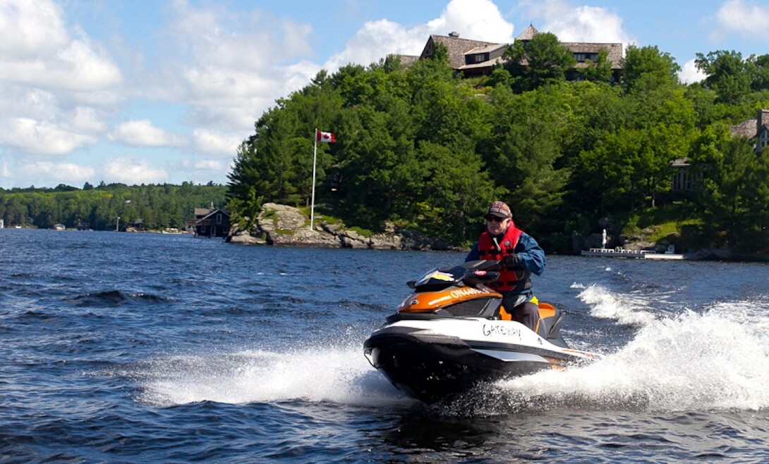
Here are three outstanding day trips you can do about a two-hour drive from the Greater Toronto Area (GTA). You won’t need charts; just get familiar with an area tourism map to orient yourself to the general layout of each waterway. These self-guided day trips share the benefits of good boat launches, easily navigable waters, adequate depths, regular marker buoys, active local populations who flag errant rocks, and available services and amenities.
Rice Lake and the Otonabee River
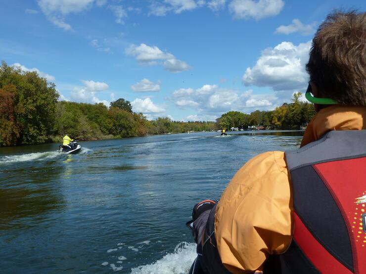
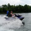
Access this part of the Trent Severn Waterway easily from the public launch at Bewdley, located at the western end of Rice Lake in the Kawarthas. This jet ski ride travels eastbound from Bewdley, straight down the centre of Rice Lake for about 10 km, staying between the islands until you spot the large, red and white, triangular channel buoy T432 at the mouth of the Otonabee River, then steer to your port side into that waterway.
The contrast between lake and river is amazing. The latter is usually like glass for the 30 km to Peterborough. There are a few weedy back bays and false channels to avoid, but if in doubt as to the main thoroughfare, take a minute and you’ll spot the next marker to show the way. For all that the Otonabee cuts through the middle of some prime farm country, you’d never know it for most of this ride. While a few clumps of cottages sprinkle some areas, for the most part this river’s forested shores make you think you’ve disappeared into the wilderness.
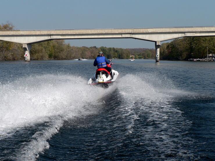
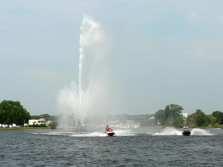
After you pass under the Highway 7 overpass (third bridge) on the river, there’s a 9-km/hr speed control zone for a couple of klicks into the Scotts Mills lock at Peterborough. After locking through, to the port you’ll soon spot the geyser-like fountain of Little Lake, the City of Peterborough’s main waterfront, offering both fuel and food at their public marina.
More Rice Lake/Otonabee Ride Info
View Ride Article: Trent River Otonabee River Sea Doo Tour.
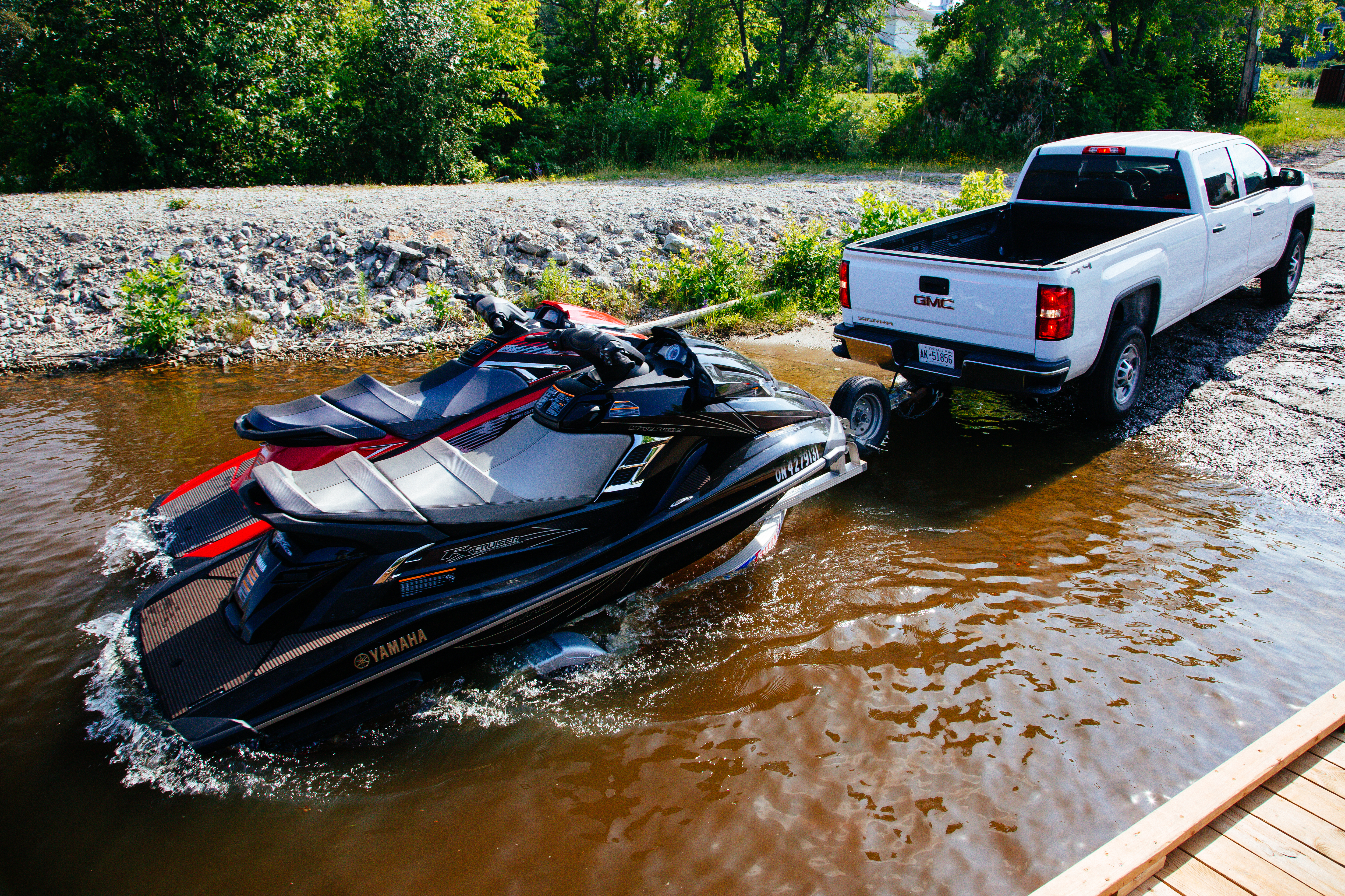
Launch: Free public, next door to BJ Tackle with parking on main street of Bewdley.
From the GTA: 107 km via 401 east to Exit 464, then County Road 28 north to Bewdley.
Where to Eat: Rhino’s Roadhouse, Bewdley; Peterborough Marina (docks).
Fuel: On the Lake Marina, Bewdley; Bensfort Bridge Resort (on Otonabee); Peterborough Marina (on Little Lake).
Locks: Scott Mills Lock to get from Otonabee River to Little Lake.
Main Pro: With only one potential delay at the lock (but only if you go all the way through to Peterborough), this trip is good for busy weekends and the Otonabee is well sheltered from strong winds.
Main Con: Limited street parking at Bewdley launch can be at a premium during any fishing derby.
Muskoka Lakes
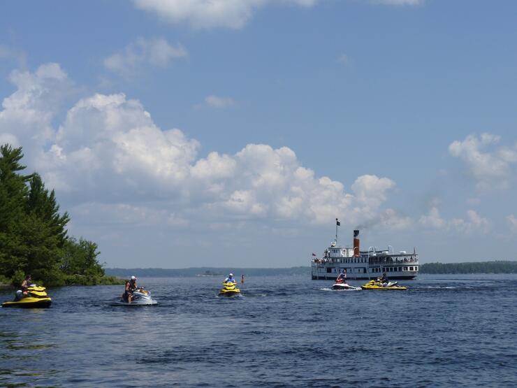
If you’ve never seen the Muskoka Lakes from the water, this is a must-do day trip in the region known as Explorers’ Edge. Those crown jewels of Ontario’s cottage country—Lakes Muskoka, Rosseau and Joseph—are interconnected and make up much more than a just a great day of riding through a myriad of islands, channels, rivers and bays. Best of all, it’s almost impossible to get lost if you just circle the shoreline all the way around to back where you started.
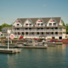
But the primary attraction of the Muskoka Lakes is their eye-candy real estate—hundreds of postcard perfect dream “cottages” that will having you oohing and aahing regularly. Heck, you’ll even be knocked out by some of the boathouses!
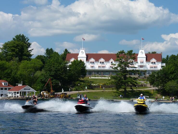
Put in at the Muskoka Wharf public launch at Gravenhurst to access Muskoka Bay, which connects to the south end of Lake Muskoka through a narrow channel at Shantyman Point. Northwest, at the far end of that lake is the Muskoka River, a speed control zone that leads through Port Carling. In town, bear starboard under the bridge into the small lock. On the other side, you’ll find fuel and food, and the continuation of the river into the south end of Lake Rosseau.
Your options at this point include only doing a loop of Rosseau or turning west for a circumnavigation of Lake Joseph, or touring both by heading to the north end of Rosseau, following its western shore into the Joseph River, then turning to starboard into Little Lake Joseph, followed by a circle of Lake Joseph itself (whose north and west shores sport several of the newest and most spectacular estates).
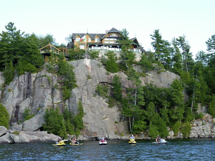
Returning along the south shore will bring you through the Port Sandfield cut, back on to Rosseau, and thence eastwards back to the Muskoka River. Depending on your time once back on Lake Muskoka, bear starboard around Mortimer’s Point to visit Bala, and then follow the western shore back to the white lighthouse that marks the entrance to Muskoka Bay.
More Muskoka Ride Info
View Ride Article: Muskoka Lakes Sea Doo Tour
Launch: Free public with free parking; turn right off Hwy 169, at the west end of the new Muskoka Wharf complex (there’s an ice cream/berry stand on the right side of 169 just before the turn off).
From the GTA: 168 km via Hwy 400 north to main Gravenhurst Exit 169, then follow #169 through town as if heading to Bala.
Where to Eat (all with docks): Boston Pizza, Muskoka Wharf; Turtle Jack’s, Port Carling; Crossroads, Rosseau; Gordon Bay Marine (hamburger stand with docks).
Fuel: Many marinas on each lake.
Locks: One at Port Carling between Lake Muskoka & Lake Rosseau.
Main Pro: Viewing the best of Muskoka without buying any real estate.
Main Con: Busy traffic on summer weekends, especially long ones, can cause delays at the lock.
The Kawartha Lakes
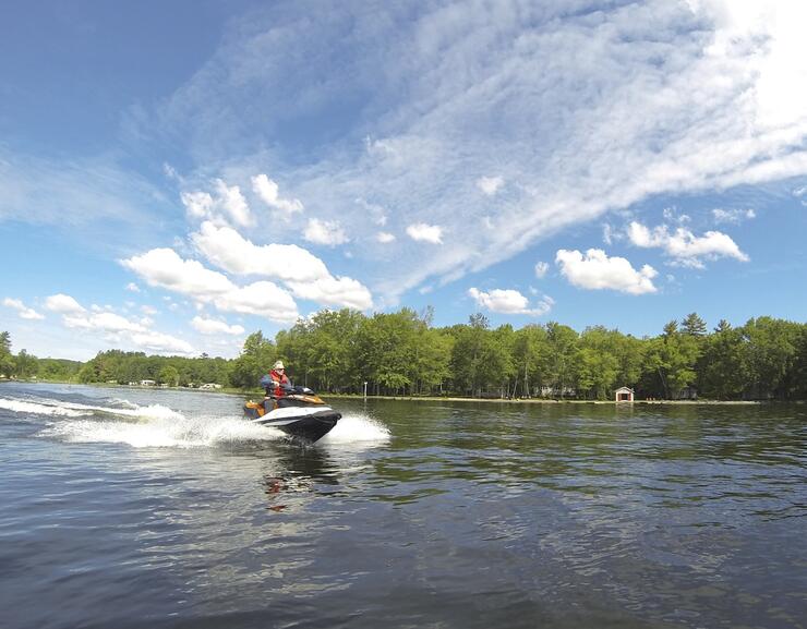
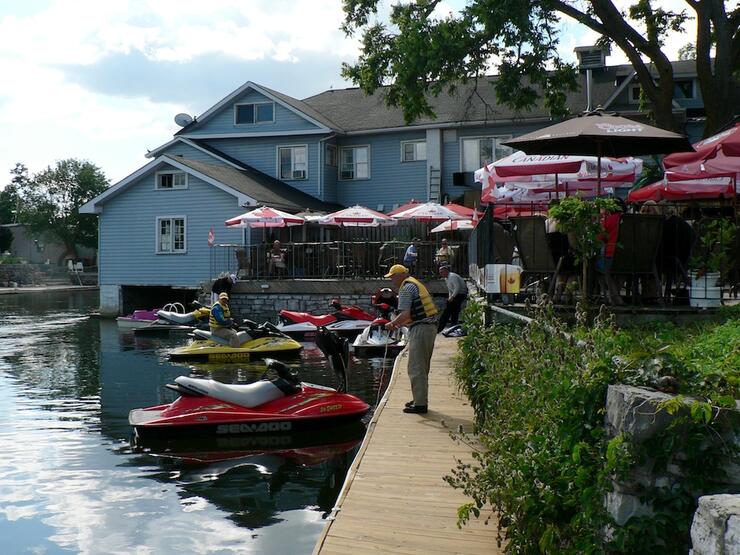
The Kawartha Lakes are part of the Trent Severn Waterway and good access from the GTA can be reached at Long Beach, on Sturgeon Lake just east of Cameron. Within this Kawartha region, you’ll travel the length of Sturgeon Lake, then through the busiest lock on the Trent at Bobcaygeon. This location can have almost a carnival atmosphere, what with a mixed fleet locking through and scores of bystanders watching the spectacle, plus people scurrying about the many shoreline stores (A visit to Bigley’s is a must!), marinas and restaurants. There’s even a permanent hot dog stand — and watch out for a major “cottage” mansion on the starboard side after the second bridge!
Once clear of the Big Bob Channel, you have unobstructed access to Pigeon, Little Bald, Big Bald, Buckhorn and Chemong Lakes before the next lock at Buckhorn. That’s more than enough riding for one day, even after avoiding the too-weedy southern ends of Sturgeon and Pigeon.
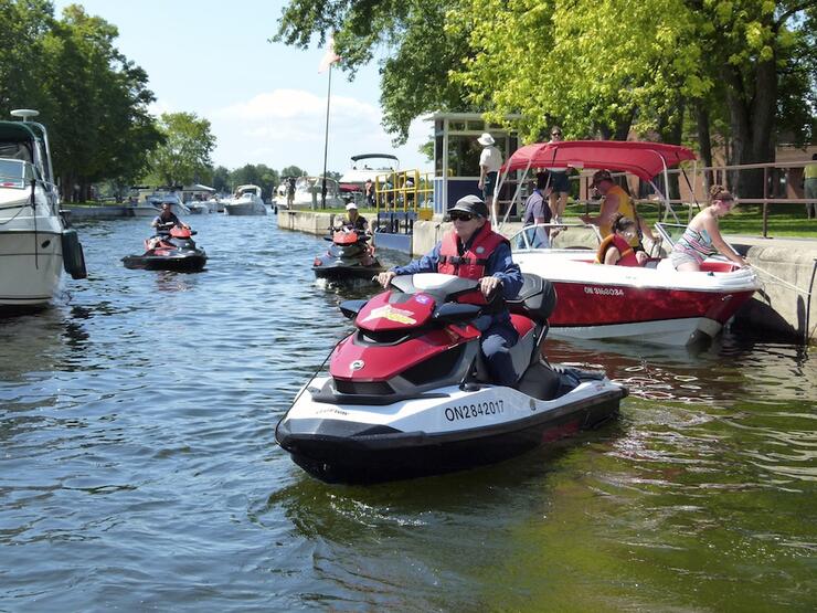
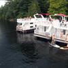
Unlike in Muskoka, much of the traffic on these finger-lakes is rental houseboats and big cruisers doing the Trent system. In addition, many other kinds of smaller craft emanate from the many cottages that line the shores. Generally the marked boat route runs down the middle of Sturgeon, Pigeon and Buckhorn, but even without following the buoys, it’s difficult to get lost, because there aren’t many islands and both shores are always in sight.
Chemong, Big Bald and Little Bald are set apart from the Trent route, and you access the former by making a turn to starboard at marker C317, and the latter two lakes by heading due east out of Bobcaygeon, instead of turning south to follow the Trent markers. If you have more time, you can always lock through at Buckhorn too, and explore Stony Lake.
More Kawarthas Ride Info
View Ride Article: Kawartha Lakes Sea-Doo Tour
Launch: Paid marina launch beside The Landings Restaurant at Long Beach, with free street parking.
From the GTA: 128 km via 401 east to Exit 436, then follow 115/35, then 35 to Cameron and go right on Long Beach Road.
Where to Eat: Mainstreet Landing, Buckhorn (west of lock); various in Bobcaygeon (east of lock).
Fuel: Marinas on Sturgeon and Pigeon Lakes; Bobcaygeon.
Locks: One at Bobcaygeon
Main Pro: If in doubt, follow the cruisers and houseboats.
Main Con: Boat traffic on summer weekends, especially long ones, can cause delays at both locks.
Recommended Articles
6 Ways to Explore the Great Lakes by Boat or Cruise

Discover Northern Ontario's Top Boat Tours
A Guide to Boating the Trent Severn Waterway in Ontario
Boating Events in Ontario: A Complete Guide to Summer 2025
19 Charming Lighthouses to Visit in Northern Ontario
I Boated the Trent Severn Waterway and Here's What It Was Like
I Sailed the New Viking Octantis and Here's What It Was Like

Canadian Canoe Museum
14 PWC Itineraries and Tips for Riding in Ontario
A Thousand Adventures: Boating the 1000 Islands in Ontario
Road Tripping with your PWC
Boat Tours and Cruises in Ontario
A Guide to Ontario's Marinas

5 Baller Boating Destinations in Ontario
Amazing PWC Getaway
