Cruising Lake Nipissing, part 2
Click here to return to Part 1 - Batten Down the Hatches—Cruising Lake Nipissing
The West Arm
The West Arm area of the lake is historic and very unique. The two cuts that you pass through going from Warren Bay to Monetville alone are worth the trip. There are two bridges where Highway 64 crosses the route. Both offer 5.3 meters' clearance, which is plenty for an express cruiser like ours. If you have a flying bridge, check your specs! Where Highway 535 crosses the route at the island is another story. We were able to pass under the northerly bridge by lowering our biminy and removing our light standard—our official clearance is 9.5 feet, which means the clearance was just the advertised 3.1 meters. However, we couldn't get under the southerly bridge at all—we backed right up to it, and our radar arch was a good half a foot too high to make it under. Still, it was a pretty trip and we didn't regret having to retrace our path.
The South River
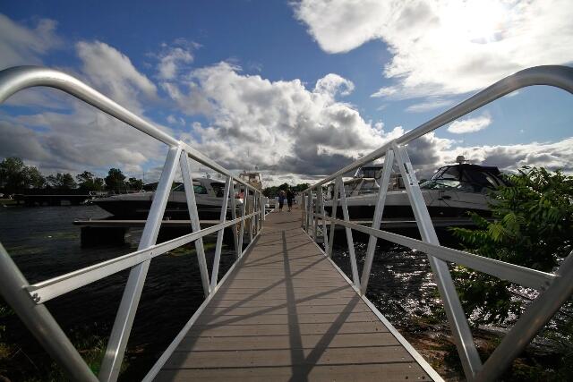
One of our favourite cruising routes is from Hunters Bay Marina to Chapman's Chute on the South River. For one thing, we can make this trip in almost any weather, since we don't have to leave the shelter of the South Bay. The entrance to the river is well-marked and, once you are into the river proper, there are few navigational hazards. We recommend you keep well to the outside of any bends, while being alert for oncoming traffic entering bends to the right. Although the river is posted with a 10-km limit, it is not uncommon to meet small boats coming along on plane. The river is navigable to Chapman's Chute, a picturesque waterfall which effectively bars the rest of the river. The length of the trip from the mouth of the river to the chute is about three miles and takes about 45 minutes each way at the posted speed.
The Sturgeon River
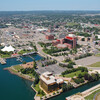
Another favourite cruise route is to the Town of Sturgeon Falls. The mouth of the river is well-marked, with a fairway buoy well out in deep water, and spar buoys marking the channel into the river itself. Once in the river, we didn't encounter any navigational hazards. The bed appears to be free of obstructions from bank to bank, except for the odd Javex bottle marking pilings and deadheads near shore. This river is much wider and more built up than the South River. Its shores are lined with resorts, cottages and homes—some of which are quite luxurious. The river ceases to be navigable to cruising boats at Minnehaha Bay, where the Town of Sturgeon Falls maintains a large and hospitable marina. You can tie up there and easily walk the two blocks into the heart of downtown. This is a fun spot to spend a couple of hours shopping and having lunch. Highway 17 passes right through Sturgeon Falls (you have to cross it to get from the marina into the downtown) and features most major fast food joints. Or, you can get a burger and some of the "world famous" Sturgeon Falls french fries at one of the shops along the downtown streets.
Sturgeon Falls is reputed to be the largest predominantly French-speaking community in Canada outside the Province of Quebec. This lends the community a touch of European je ne sais quoi, but doesn't pose any inconvenience to the unilingual anglophone visitor. If you don't care to see the town, the Sturgeon Falls Hotel has its own docks on the west side of the river at the entrance to Minnehaha Bay. Tie up there, climb the path to the Hotel and enjoy a nice lunch in their dining room overlooking the river while keeping an eye on your boat at the same time!
Wigwam Channel
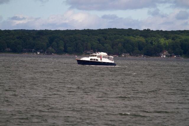
Whether heading to Sturgeon or the West Bay, we enjoy passing through the Wigwam Channel at the north end of Sandy Island. Not only does the route west of Sandy Island provide a more sheltered and scenic passage than the open water route east of the island, but it affords an opportunity to follow this channel through the wild rice fields that surround it. The beginning of the channel at the south end is clearly indicated by a fairway buoy, spar buoys line the channel, and the north end of the channel is indicated by Wigwam Point Light on a small island at the north west end of the channel. However, leaving the channel at the north end, care must be observed not to bear west too quickly. Dangerous shoals lie north of Wigwam Point light for some 500 feet.
The French River
No doubt the most popular cruising ground on Lake Nipissing is the French River. The portion navigable by cruisers from Lake Nipissing displays the deltaic features of a river mouth, because they were formed when the river flowed from west to east, draining glacial Lake Iroquois into the Ottawa River system. When the water level subsided, the North Bay escarpment blocked the eastward flow and now the area west of the escarpment drains westerly through the French into Georgian Bay.
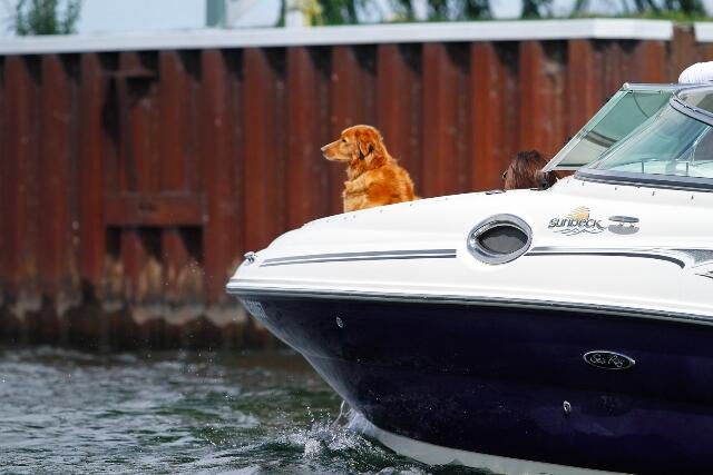
As a result, there are a large number of sheltered islands and meandering bays which offer the gunk-holer a wealth of opportunities for exploration. Also, apart from the access road to Dokis Village, the area is not accessible by road, which makes the area more boater-friendly. Many of the resorts have major docking facilities for their own use, and offer cruisers over-night dockage at a reasonable price, as well as use of restaurant and other facilities.
Some of the more notable areas are:
Twilight Bay
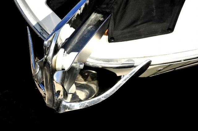
This attractive, remote and sheltered bay is a favourite anchorage for French River cruisers. The privacy and serenity of the location cannot be overstated. The low, steep, rock shore offers the opportunity to tie up and step ashore, perhaps with the aid of a short gang-plank. Or you can anchor out and swim or dinghy in to the more gradually sloping areas.
The Free-Flowing Channel
This spectacular feature is well worth a visit. Although the total outflow of Lake Nipissing into the lower French is regulated by dams, this narrow chasm sends an unregulated stream cascading between tall cliffs. Entry from the French River is gained through a narrow cut in the granite, into a wider pool. Only the eddying current and the roar of the cascade gives the visitor an indication of the outlet. However, with care you can tie up to the shore and follow well-worn paths along the side of the cliff to examine the torrent.
The North West Bay
This is a very picturesque area of the lake, but has little else to offer the cruising explorer. The highway bridge at Lavigne effectively bars the end of the bay to any type of cabin-cruiser. The water is shallow and weedy and the shoreline is heavily developed. We were unable to locate a marina with dockage for a boat our size, nor an appealing anchorage or beach to go ashore and swim or picnic. Local knowledge might disclose attractions in this area which we missed in a one-day trip. However, based on our experience, the area is only suitable to the cruising boat for a brief sight-seeing excursion.
Recommended Articles
6 Ways to Explore the Great Lakes by Boat or Cruise
Discover Northern Ontario's Top Boat Tours
A Guide to Boating the Trent Severn Waterway in Ontario
Boating Events in Ontario: A Complete Guide to Summer 2025
19 Charming Lighthouses to Visit in Northern Ontario
I Boated the Trent Severn Waterway and Here's What It Was Like
I Sailed the New Viking Octantis and Here's What It Was Like

Canadian Canoe Museum
14 PWC Itineraries and Tips for Riding in Ontario
A Thousand Adventures: Boating the 1000 Islands in Ontario
Road Tripping with your PWC
Boat Tours and Cruises in Ontario
A Guide to Ontario's Marinas

5 Baller Boating Destinations in Ontario
Amazing PWC Getaway
