Taken Away on the Glorious Georgian Bay Coastal Route
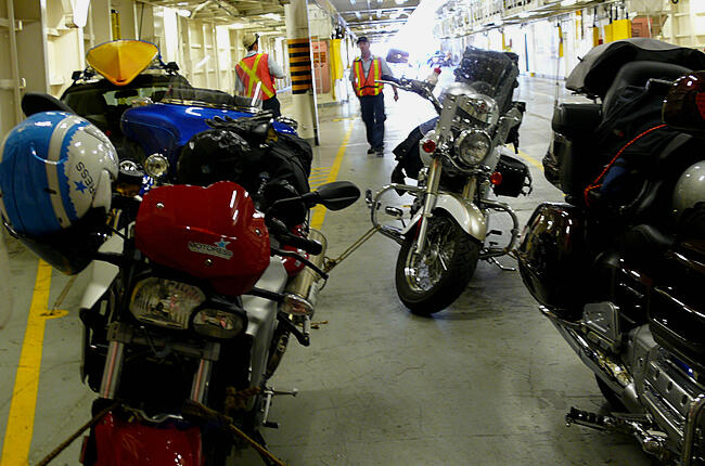
The North Channel's water looked calm; I'd heard it can be somewhat of a toss in bad weather. "Are you sure these ropes will hold?", I hollered to the orange-vested Chi-Cheemaun Ferry crewman. There were just five of us travelling that afternoon to Manitoulin Island; strangers unified through a desire to check out the https://northernontario.travel/motorcycle-touring/the-georgian-bay-coastal-route-by-bike-and-carGeorgian Bay Coastal Route. The Harley-Davidson rider gave an assuring tug to the rope holding my BMW in place; he'd taken the ferry many times before.
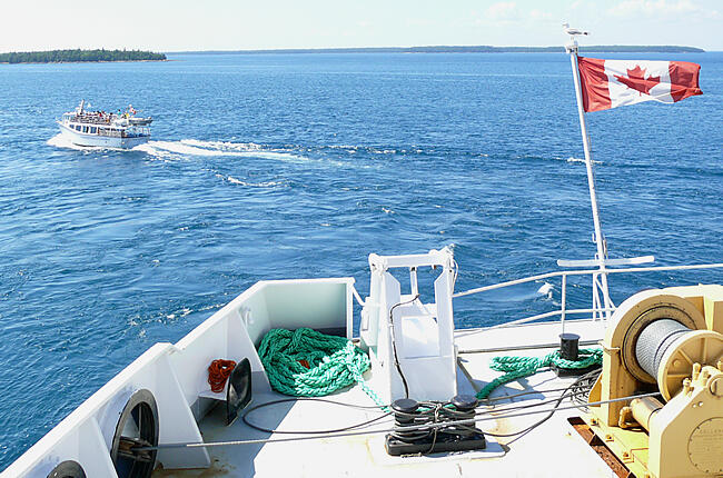
Set for the sail, I marched up the stairwell to the outer deck taking a sunny spot against the railing, watching as Tobermory disappeared behind the ferry's stern. The sailing wind took my hair and danced it across my face; I smiled- the adventure was underway! Adieu civilization- hello Georgian Bay exploration!
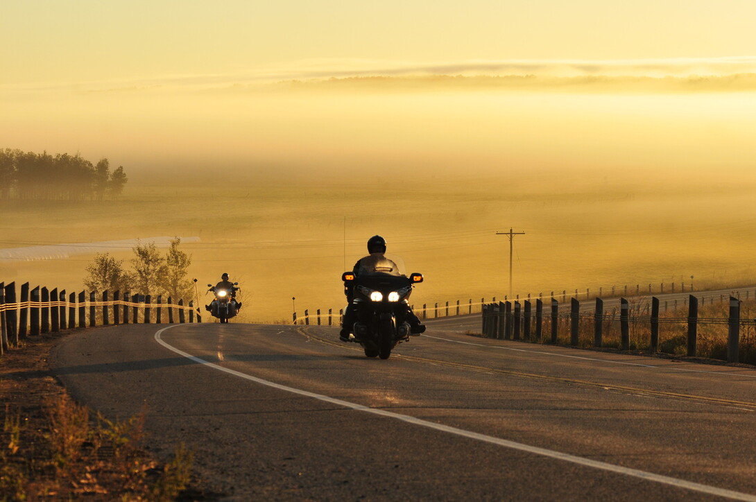
The Chi-Cheemaun docked at Manitoulin's South Baymouth shore shortly past six o'clock. Finally I was here on Manitoulin, the place many a motorcyclist raved about. Out and across the ferry's steel ramp, I headed through town toward the lowering sun; just 133 kilometres to the islands Western point. The vacant roads were unevenly paved yet pleasantly smooth to ride. I accelerated on through blind curves bending over the islands rolling green meadows. Kilometres passed and shadows lengthened across the road. Ahead a deer darted across the road. I realized I had to temper my speed. Over another blind hill the sign read "540 Ends" and there lie Meldrum Bay Inn, my final destination. I parked the BMW and was warmly greeted by the Inn's owner, Shirin. I sat down at the front porch café while being served an icy cold brew. Awaiting the chef's daily pasta masterpiece, I watched Meldrum Bay's waters darkened. The camper lights across the road brightened and the skies stars took lead. Yes, I sighed- Manitoulin life is good!
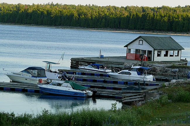
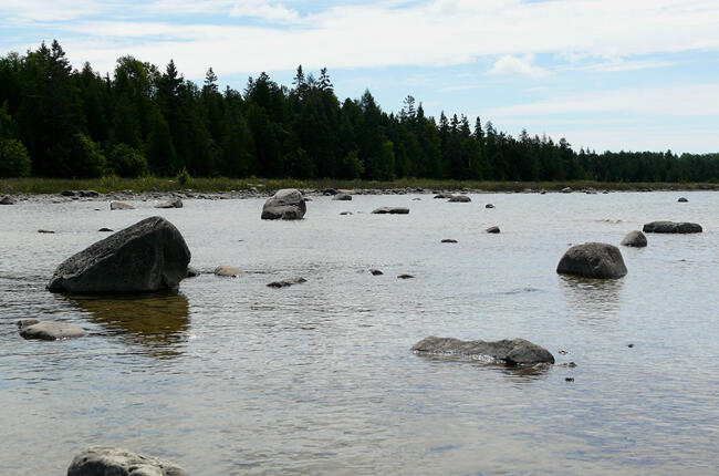
Refuelled at the dockside tank station- I rejoined the 540 highway now returning me eastward. It was a short ride to the turn off gravel road for Misery Bay Park and Nature Reserve. I was curious to see its unrivalled geological features; wide expanses of flat rock and alvars. I parked the bike and walked a small path to the welcome and 'Interpretation" centre for directions. Map in hand, I took to my hike through pine wooded trails. Twenty minutes passed and the trees disappeared exposing the bay and its magnificent shoreline - 10,000 year old bits of glacial bedrock. Truly a sight out of the ordinary!
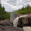
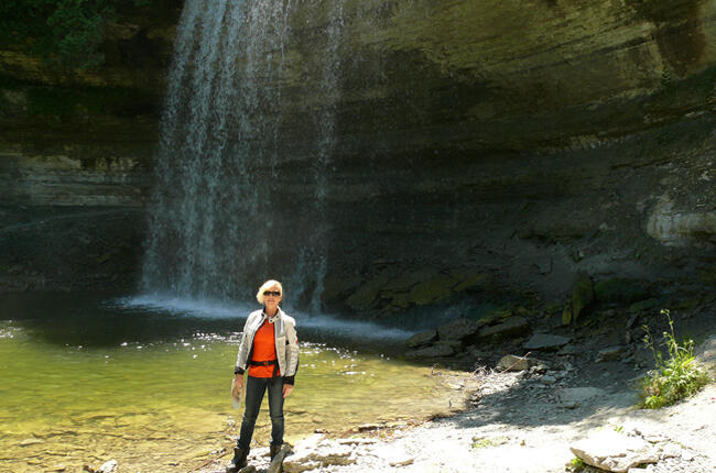
Back on the road just under an hour from Misery Bay; the 540 eastbound ran to Evansville where I stopped to take its famed Bridal Veil Falls. Still continuing eastward to M'Chigeeng First Nations, I turned into the Great Spirit Circle Trail Centre. The Centre is representative of the history and culture of the regions eight Indian nations on Manitoulin and brings first hand authentic aboriginal experiences to the islands visitors. The heritage canoe trip certainly caught my eye!
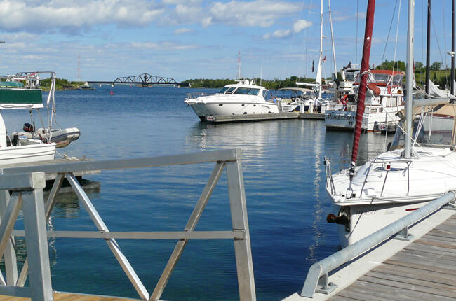
Heading out from my hospitable night's stay at the Anchor Inn, Little Current I awaited my turn to cross its swing bridge- the only eastern passage from Manitoulin back to the mainland.
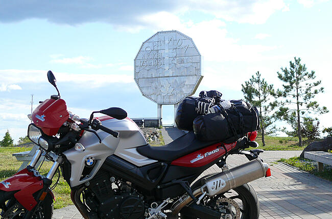
Once over, it was direction ever north on highway six. The road linked along stretches of islands peering over the lakes it crossed. Eventually the tree line moved away from the roads edge revealing the industrialized mining town of Sudbury -the Big Nickel! I found my way easily to the unique snowflake shaped buildings of Science North to meet with scientist Franco Mariotti. It was a fascinating insightful tour to the regions' rich geological history. Once finished, I rode over to the Big Nickel now called Dynamic Earth and quickly exchanged my motorcycle helmet to that of a miners to take in the last underground mine tour of the day. Absolutely a blast- if you know what I mean!
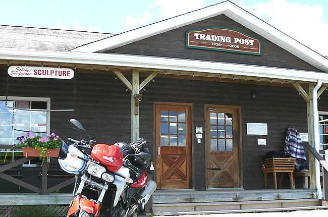
Navigating south from my nights stay in Sudbury, it was nothing but pleasure riding on the pristine rock lined Trans Canada Highway 69 to the French River region- rich in trading history. Within an hour's travel I turned into the French River's Trading Post abound with first nation's handicraft. Here I managed to keep my wallet in check indulging only in a few bear claw cookies!
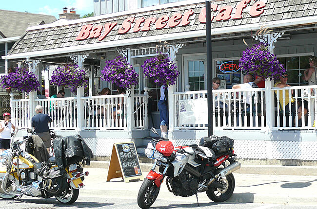
South from French river, highway 69 slims and merges into the Trans Canada 400. This junction arrived in perfect time for lunch and Parry Sound was the place! I exited and found the charming waterside Bay Street Café and its pickerel fish and chips. The motorcycles parked out front reinforced this favourite among motorcyclists.
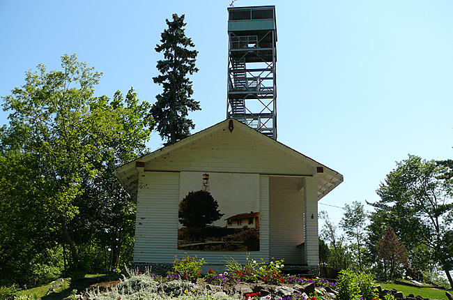
Suited up I headed for a final stop at the local Tower Hill Park & Garden and its inhabitant Fire Tower. A quick stroll through the museum and a climb up the 131 steps to the 29 metre (96 ft) Fire Tower look out- indeed worth its spectacular panoramic view! And certainly helped work off the homemade apple crisp I enjoyed at lunch!
Cargo secured, reluctantly, I twisted the ignition key and rode down the steep Tower Hill road toward the highway to Toronto. Gosh, I felt so changed, almost taken over with the discoveries explored riding 'round - glorious Georgian Bay!
More Helpful Links
For information on the Georgian Bay Coastal Tour, click here.
To plan your next motorcycle trip in Ontario, visit www.GoTourOntario.ca for customizable itineraries and downloadable GPS files!
For more information on riding in Ontario, visit www.GoRideOntario.ca.
For a list of all motorcycle events and suggested routes to get there, visit Events.OntarioRides.ca.
View Motorcycle Touring - Georgian Bay Coastal Route- Georgian Bay, Ontario, Canada in a larger map
Recommended Articles
The Seven's Best Hikes, Biking Trails and Lakes

7 Best Spots to Check Out in The Seven

Budget Bliss: Explore Northeastern Ontario Without Breaking the Bank

Bring Your Fam!

Time to Unwind: 6 Spa Havens to Discover In The Seven
5 Amazing Places to SUP in Northeastern Ontario

5 Amazing Bike Rides to Discover

Northern Lights in Northeastern Ontario

Northeastern Ontario's Best Pride Festivals

Fish for one of the World's Rarest Species of Trout

An Insider's Guide to Manitoulin Island

6 Small-Town Gems to Explore in Northeastern Ontario

11 Best Things to Do in Kapuskasing, Ontario

