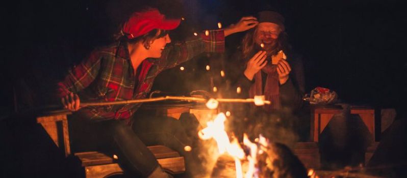
What to Do in North Bay for World Cup 2026
Your complete visitor's guide for the Canada Celebrates World Cup 2026 stop on July 11
By The Seven—Northeastern Ontario


Northeastern Ontario is known for its wild, wide open spaces. With all the ways to explore its natural beauty, it can be challenging to decide where to go first. So, I’ve gathered the top destinations in this beautiful region that you must prioritize in your hiking, biking and paddling plans.
HIKE: Manitoulin Island’s most popular trails include exploring the glacial beaches and lakeshores of Misery Bay Provincial Park, the picturesque Bridal Veil Falls, and the clifftop views on the Cup & Saucer Trail. Each with unique attractions, these hikes should top your travel list.
The Bebamikwe Memorial Hiking Trail is home to more popular Manitoulin Island hikes; the Three Fires Trail and the Warriors Trail stacked loops, totalling 9.2 kilometres. Learn about the area’s history and unique ecology on the educational trails as you trek to a historic site and four scenic lookouts.
BIKE: Manitoulin Island is a cycling paradise, offering multiple paths of exploration. Whether you follow the premade routes or create your own loops, make sure to get a Manitoulin Cycling Route Map to keep you on track.
HIKE & BIKE: Take a hike at McLean’s Park on a 3-kilometre trail through hardwood forests on ancient logging paths—you may spot a few giant trees along the way. There is also mountain biking on a challenging 8-kilometre trail rolling through the bush. It’s a workout on rough terrain, but you’ll find little elevation gain.
PADDLE: If you have the skills and experience with big and rough waters, paddle the North Channel running 120 kilometres between the mainland and Manitoulin Island at the north end of Lake Huron. Launch your watercraft from favoured put-ins in Kagawong, Gore Bay, and Whitefish Falls—or from Spanish on the mainland, offering a sheltered bay with many islands to explore.
Novice paddlers should avoid larger bodies of water, such as Lake Huron and Manitoulin Island’s inland lakes, like Lake Manitou, as the waves can be unpredictable. Lake Wolsey and Lake Kagawong can have chop on the water, but there are plenty of smaller inland lakes for recreational paddlers to explore, such as Ice Lake, Windfall Lake and Little Lake Huron.
HIKE, BIKE & PADDLE: In Sudbury, for those looking for urban cycling paths, look at the Rainbow Routes, with 20 walking and biking locations, with hard-packed and paved trails.
When you want to split your choice of hiking trails, biking tracks and flatwater paddling—look no further than Lake Laurentian Conservation Area and Kivi Park in Sudbury. If you need a watercraft, Ramakko’s Source for Adventure is onsite at Kivi Park, offering kayak, canoe and SUP rentals.
BIKE: If you’re seeking solid single-track adventures, hit the mountain bike trails at Walden Mountain Bike Club mountain bike trails. See the Ultimate Guide to Biking for more biking locations in Sudbury.
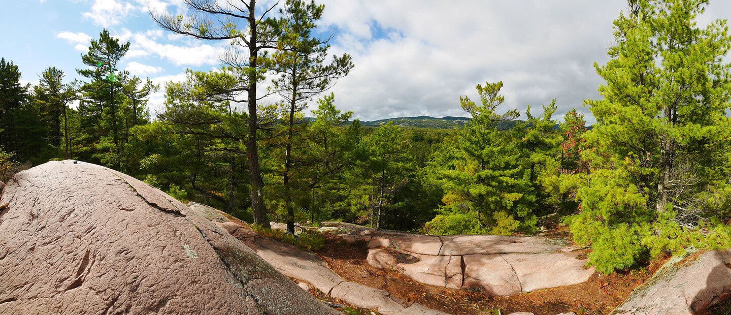
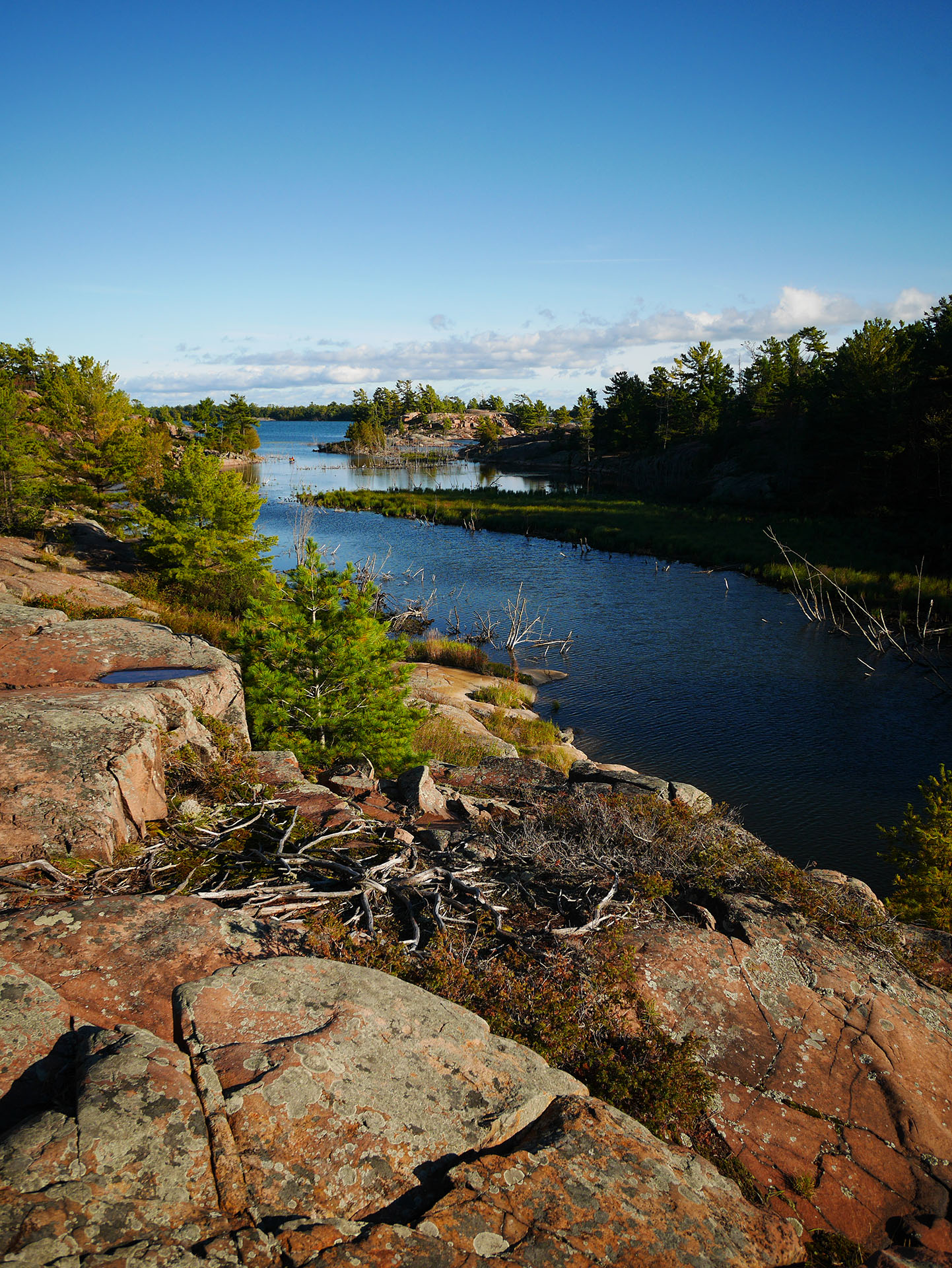
HIKE & PADDLE: Killarney Provincial Park draws thousands of visitors to the white quartz La Cloche Mountain Ranges and red granite shorelines. There are plenty of ways to enjoy the wonders of this park, with its many paddling routes and hiking trails. The Crack is one of the most popular and challenging trails, but if you’re not seeking a strenuous hike, hit the Cranberry Bog Trail, Chikanishing Trail and Granite Ridge, which are only moderately difficult.
Point Grondine Park is becoming a popular wilderness destination only 30 kilometres from Killarney. The A-Mik Zii-Bi Trail (Beaver River) Interpretive Trail introduces hikers to edible and medical plants used by Indigenous People and provides historical education. Merv’s Landing is a challenging route, rewarding adventurers with a spectacular view of the Silver Peaks after ascending Recollets Summit.
If you’d prefer exploring Point Grondine Park’s waterways, go on a paddling day trip down Mahzenazing River to Wemtagoosh Falls. Canoe camping will provide more time to explore the interior lakes and rivers on the Kaa-Gaa-Genhs Water Trail or paddle Collins Inlet to Georgian Bay.
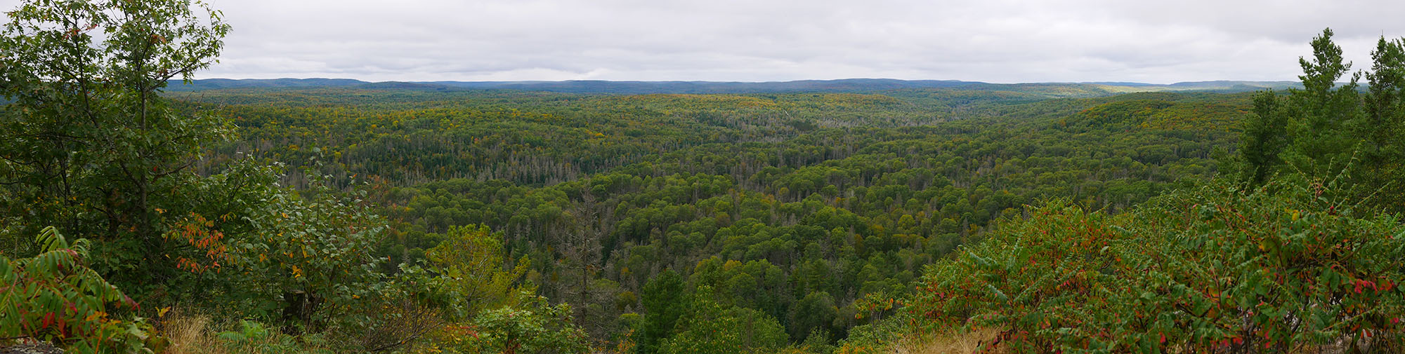
HIKE & BIKE: The Education Center Trails’ Duchesnay Falls in North Bay is a popular hike with locals and visitors. Bikes are prohibited on the trails hugging Duchesney Creek, but you can mountain bike on the shared hiking and biking routes following gravel and dirt tracks winding through the woods. Take a map and go on a self-guided tour of all three lookouts.
The Laurentian Escarpment Conservation Area multi-use trails have two paths maintained by the NBMCA—the Fred McNutt Family Trail and the Richardson Ridge Trails, marked with yellow and orange markers. There are many other (unmaintained) trails to explore by hiking and biking, so be sure to take a map for navigation - and a brochure with you to learn about points of interest along the way, like the aqueduct and the old ski jump.
BIKE: The Three Towers Trail Network features trails ranging from beginner to challenging difficulties. You’ll find single-track routes on both the West and East Trails. The east side has a double track connecting the single-track side trails so you can choose your adventure. Looking for more cycling routes?
See Bike North Bay, Grind the North, and Hit the Bike Trails in North Bay.
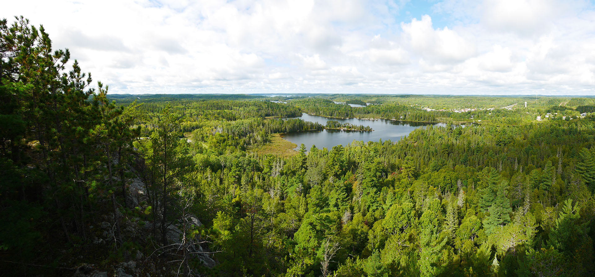
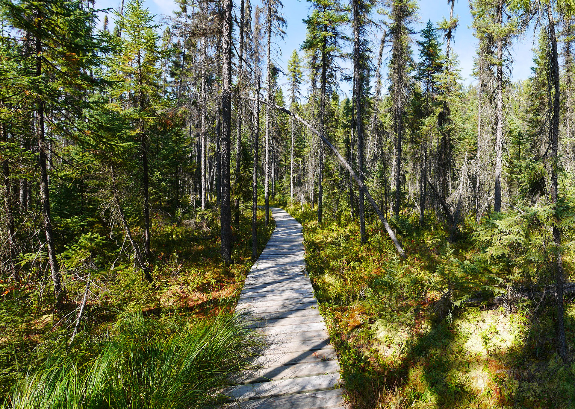
HIKE & PADDLE: The La Vase Portage Conservation Area provides access to the La Vase Portage, a historical route for Indigenous, Metis and Europeans. As such, you may discover artifacts of significance along the way. Let NBMCA know if you find something on the 8 km paddle and three portages, totalling 3 kilometres. Explore by foot on the 1.5 km linear hiking trail leading past wetlands and through the bush to Perron’s Pond.
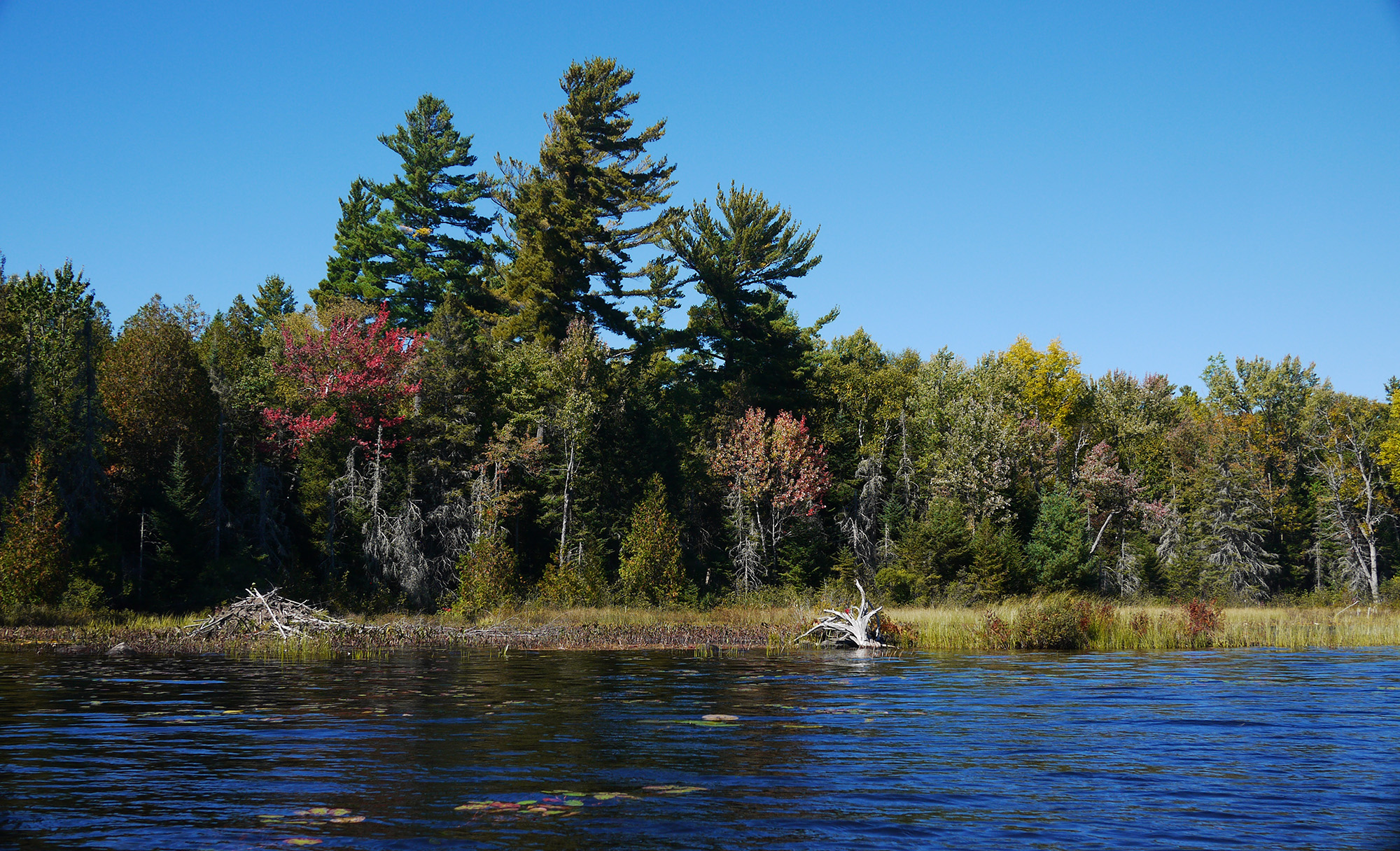
HIKE & PADDLE: At Samuel de Champlain Provincial Park, follow the path of the paddle, tracing historical routes first used by Indigenous Peoples on the Mattawa River. For a quiet and leisurely outing, go canoeing on Moore Lake and the upriver section of Amable du Fond River. Getting on the water isn’t the only way to explore this park, as there are four hiking trails ranging in difficulty and length. There’s a trail for every hiker - from an easy 1 km loop to strenuous hikes in stacked loops totalling 9 kilometres.
BIKE: The VMUTS (Voyageur Multi-Use Trail System) is most often associated with offroad motorsports, from ATVs to 4x4 vehicles and horse riders, but did you know that your permit includes mountain biking too? There are over 300 kilometres of trails, with easy rides and challenging routes, from biking to hilltop views to crossing deep mud holes. So, what are you waiting for?
PADDLE: Finlayson Point Provincial Park is located on Temagami Lake and is proclaimed the Gateway to Temagami. Paddlers can explore Temagami’s waterways, old forests and connect to Lady Evelyn of Smoothwater Provincial Park from this park.
Including adjacent Unceded Land, portages interconnect more than 2000 lakes over 2400 kilometres to create paddling routes. For this reason, Finlayson Point is a popular basecamp and access point for adventurers to launch their wilderness escape.
HIKE & PADDLE: There are 11 wilderness trails ranging in difficulty from easy to challenging in the Old Growth red and white pine forests. A favourite attraction at White Bear Forest is visiting the Fire Tower. At ground level, there’s a platform to look out over the landscape from an elevated standpoint - and climb the tower for views from up high.
If you prefer to explore White Bear from the water, launch at the Snake Island Lake access and paddle to Percours Bay on the White Bear Forest Canoe Loop. Reaching the first portage and gaining access to the Eastern Trails of White Bear Forest will take about an hour. These hiking trails are advanced, but the payoff is being in the “heart of old-growth forests,” not to mention the many scenic viewpoints. To finish the canoe loop, portage and paddle Pad Lake, Flood Lake, and over to Cassel’s Lake before heading back to the launch.
HIKE, BIKE & PADDLE: Marten River Provincial Park’s three interconnected trails are part of the Transition Trail system. The three interconnected loops are moderately easy, ranging from 0.8 km to 4.2 km, taking you through pine forests and a Black Spruce bog.
Biking is limited to park roads, but a bonus 2-kilometre cycling trail takes you to a picnic area by the Temagami River, so wear your swimsuit and pack a picnic.
South of Temagami, Marten River Provincial Park provides flatwater padding opportunities to explore bays, quiet shorelines and sandbars. From the park, follow the Marten River eastward to Kenny Forest Provincial Park and portage the interconnected lakes. For whitewater lovers, launch at the park and paddle west, connecting to Temagami River Provincial Park on day trips or overnight.
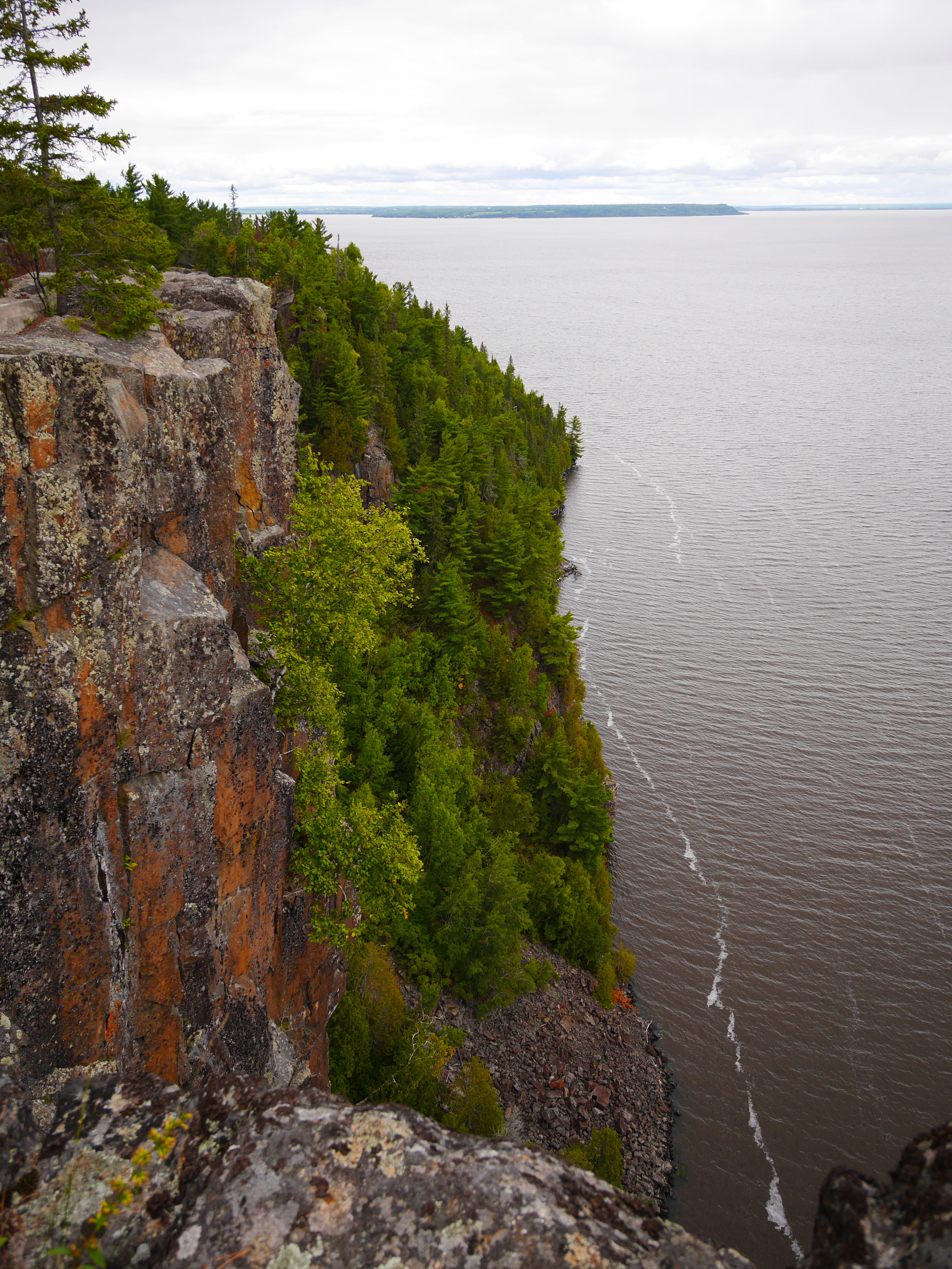
HIKE: Fourteen trails are maintained and promoted by the Nastawgan Trails in the region, including Devil’s Rock. I hiked the 2 km linear trail from the trailhead on Highway 567 to reach Devil’s Rock sheer cliffs. It was awe-inspiring to take in the expansive views of Lake Temiskaming and Quebec’s rolling hills from a dizzying 300 feet above the water level. A big white cross stands at the edge as a memorial and a soulful reminder to be careful when you visit.
Another of the Nastawgan Trails is the Triangle Hill Hiking Trail, a popular 4.5 km hike. Three trail sections wind through the forest, following the triangle shape of Hopper’s Rock, across shield rock and along an old access road. Hike the Cliff Edge Trail for views over the surrounding farmland. The lookout is marked on this trail map.
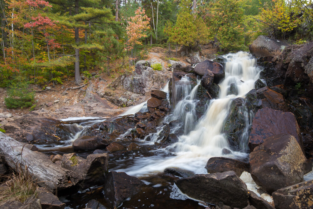
Not to be missed is Kap-Kig-Iwan Provincial Park. This park is a hiker's paradise with two official trails, multiple side connector paths, and a lookout. Trek next to calm river sections, rough waters, beautiful cascades and waterfalls on Hell’s Gate Trail, my favourite hike in the park.
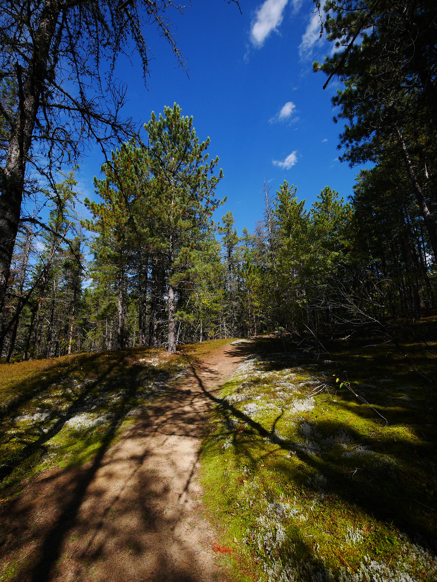
HIKE & PADDLE: Esker Lakes Provincial Park has three easy, 1.5-kilometre trails and one moderate trail of 9 kilometres. I’ve hiked the Lonesome Bog Trail; it’s a beautiful route around Sausage Lake, with a boardwalk crossing a bog and wetland at the lake’s edge.
Next time I visit, I’m paddling this park. With 15 kilometres of canoe routes and lakes “separated by short level portages and no motorboats,” makes it an ideal paddling destination for a day trip and backcountry camping. Canoe rentals are available at Esker Lakes, launching into Panagapka Lake.
HIKE, BIKE & PADDLE: Kettle Lakes Provincial Park is an ideal destination for adventurers with four hiking trails, 14 kilometres of biking trails in three stacked loops and twenty-two kettle lakes to dip your paddle in. It would be easy to spend an entire summer enjoying all the park offers. I’ve explored only a tiny portion of Kettle Lakes and can’t wait to return.
HIKE & PADDLE: You’ll find two easy trails at René Brunelle Provincial Park of about 1.5 kilometres. La Vigilance Trail educates hikers about northern aviation history and Remi Lake’s past as a floatplane base in the 1920s. The Spruce Lowland Trail winds through the Boreal Forests and an old spruce bog. With ample opportunities for birdwatching and discovering a multitude of wetland vegetation, this trail is for nature lovers.
Paddle Remi Lake and head north to explore undeveloped shorelines. This lake is big, measuring 8.8 km long and 5.2 km wide, so use caution when heading out into open water - or paddle along the lakeshore. Watercraft (and boat) rentals are available at the park.
HIKE & BIKE: Near René Brunelle Provincial Park is the Moonbeam Nature Trails for hikers, cyclists and mountain bikers to enjoy. The main trail (11 km) is paved and fully wheelchair accessible, and the other six trails range in difficulty from easy to expert level. Consult the Moonbeam Nature Trails Map to choose your trail’s access point for your preferred activity.