Getting to Know OFSC Trails and More on Manitoulin West
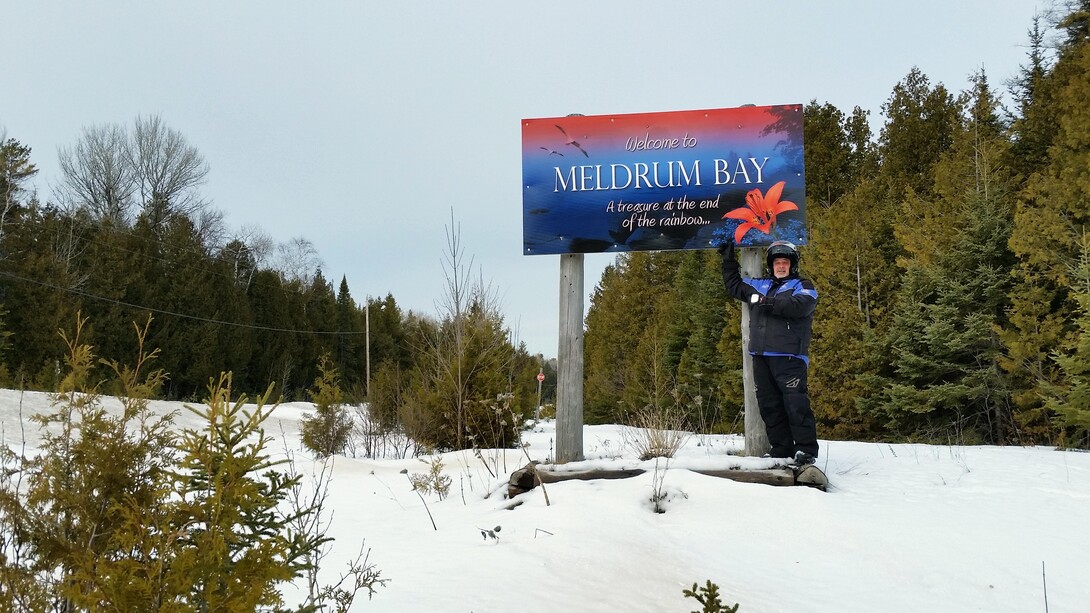
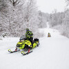
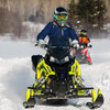
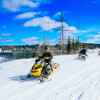
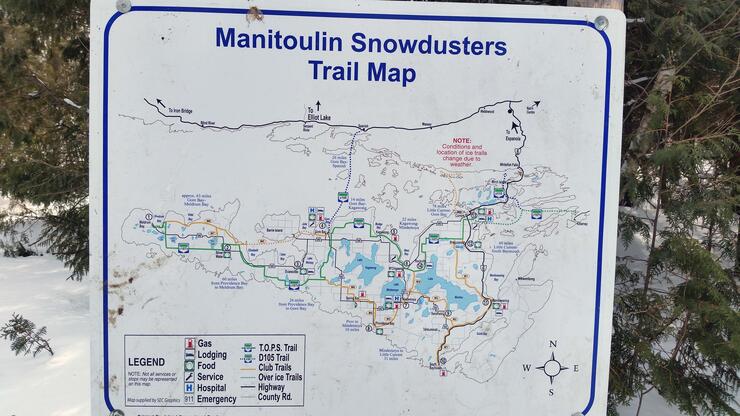
Rise and Shine; on Day 2, we were ready to begin our adventure on Manitoulin West. Heading out alone without our Manitoulin Snowdusters guides, and with just the ITG and the OFSC TrackMaps for our GPS, it wasn’t really a worry at all. The directional signage we saw on Day 1 made it easy for us to feel confident in our next forage to what seemed to be the end of the earth… Meldrum Bay.
Staging from Kagawong
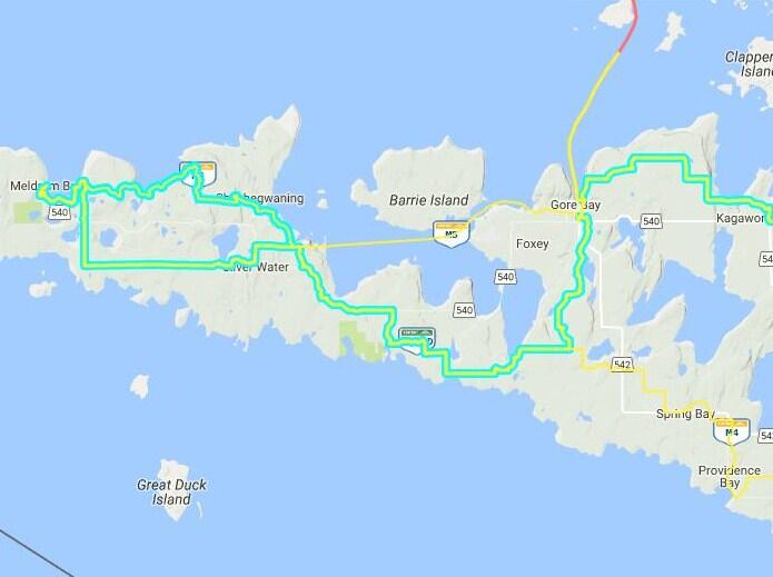
That morning, we opted to trailer to the west so we could cover more ground and not duplicate the route we had already done on Day 1 to M'Chigeeng. Due to a trail closure east of the town of Kagawong, on the C107D, we staged on the west side of town.
If you get a chance to stop in Kagawong and that trail is open when you’re there, don’t miss the Manitoulin Chocolate Works or Bridal Veil Falls, a spectacular point of interest in winter or any other season. Also this year, The Big Deal Poker Run is being held on the Island Sat/Sun March 4/5 2017.
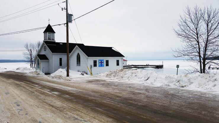
Gore Bay and the Lowlands
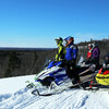
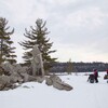
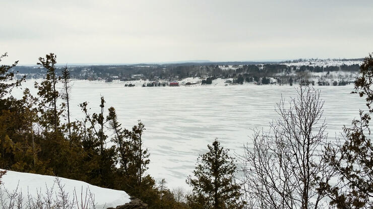
As we entered the Gore Bay area, we were treated to one of the most spectacular lookouts we’ve yet to see on the island. The vantage point from atop the Gore Bay bluffs did not disappoint us. It put us in a nautical frame of mind as we remembered that most of the industry and the livelihood of that whole area had some connection to these vast waterways.
INSIDER'S TIP: Always talk to locals when you plan a trip like this—Make Smart Choices.
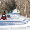
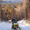
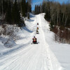
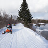
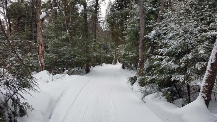
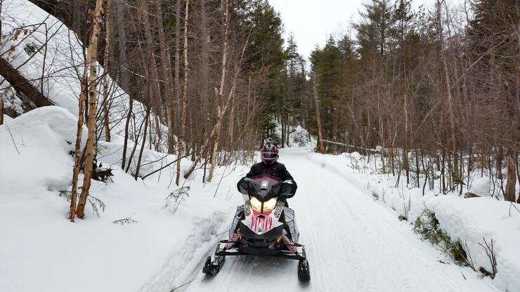
We travelled the freshly groomed C107D west, through lowlands of dense cedar groves to higher altitudes with rolling meadows and stands of silver and white birch.
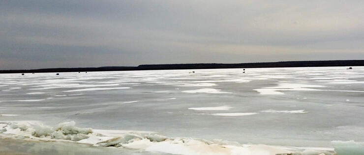
The foliage was always changing with the diversity of elevations. In the very low areas, beaver swamps of dead standing timber were lined with ghostly golden tamarack. The inland lakes were dotted with ice huts and eager fisherman.
Sheshegwaning and the Great Spirit Circle Trail
Staying on the C107D, we decided to take the island’s western loop M6 and C107D in a counter-clockwise manner that, conveniently put us into Sheshegwaning First Nation for fuel and a trailside snack.
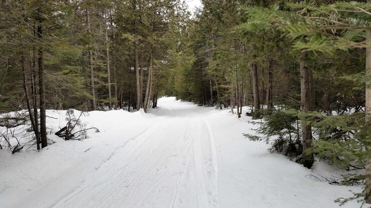
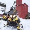
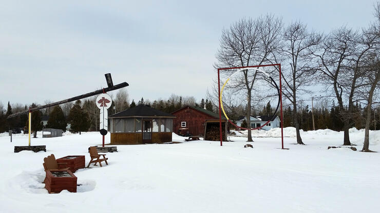
The gas station is approximately 2 km off the OFSC trail. Just follow the very well-used and well-marked side trail/snowy road run and it takes you right to the gas pumps, where we grabbed fuel and pizza. While we were eating our slices and sipping on hot chocolates, the local First Nation’s police joined us for a quick chat. They convinced us to continue down the road further into their community, to visit their Great Spirit Circle, encompassing the world’s largest peace pipe and dream catcher.
Meldrum Bay and Back
Refuelled with food, gas and enthusiasm, we covered the last 35 km to our destination, the furthest western settlement on the Island: Meldrum Bay, home to the historic Meldrum Bay Inn, which was under renovations and closed at the time of our visit.
Resuming our counter-clockwise adventure, we swung east along the southern part of our loop heading through Silverwater where we stopped for a quick break. The final push to the staging area took us backtracking on the C107D, which didn’t really seem like backtracking since we were able to see the things we saw on the way out, just from a different perspective.
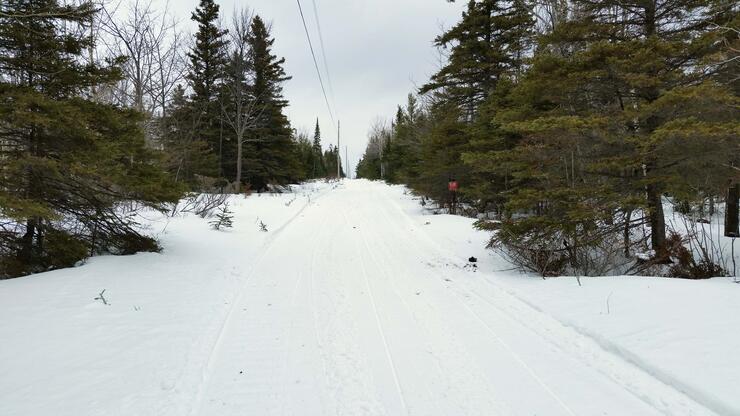
Loaded into the trailer, we made our way off the island with another successful Manitoulin adventure under our belts. Hats off and mighty thanks to the Manitoulin Snowdrifters; we honestly can’t wait to return. The trail network is so expansive, we feel we only skimmed the surface so there will be lots more to explore next time. Now, stay tuned for Part 3 of our Rainbow Country Exploration article which has us touring the “North Shore.”
Recommended Articles

Snowmobiling Winter Weather Forecast 2024-2025

The Complete List of Snowmobile Events in Ontario 2025-2026

The Best Snowmobile-Friendly Lodges

I Rode the Explorers Snow Tour in Ontario and Here’s What It Was Like

Why Ontario is One of the Best Snowmobile Destinations in the World
11 TikToks That Prove Ontario is the Best Place To Go Snowmobiling

5 Weekend Snowmobile Getaways Near the GTA
31 Ways To Get In The Know About Snowmobile Trail Riding in Ontario
A Beginner's Guide to Snowmobile Lingo

Snowmobiling the NWOSTA Wilderness Loop in Northwestern Ontario

