Please note this page may no longer be up to date. For new stories about Northern Ontario visit us here.
What Does Algoma Mean?
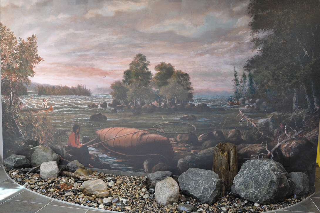
Where the Name 'Algoma' Comes From
'Algoma' is the name of many different places throughout North America. Henry Schoolcraft was said to be the man who invented the word which comes from 'Goma' an Algonquian suffix - gamaa for "lake" and the al prefix from the word Algonquian. The original text by Mr. Schoolcraft, which you can read here, leads the reader to believe that Mr. Schoolcraft invented the word based on Gitchegomee (the name for Lake Superior). Gitche signifies something of impressive magnitude and Gomee means a large body of water. Based on the suffix and prefix given, put together, the word would mean Sea of the Algonquians.
Other definitions of Algoma are: "snowshoe", and "valley of flowers"; all originating from Indigenous languages.
Sault Ste. Marie
The Ojibwe called this place "Baawitigong" (anglicized translation is Bawaating) meaning "place of the rapids" and used this area as a meeting place during whitefish season. The city is also one of the oldest French settlements in North America after the Europeans arrived. There's some debate over what "Sault" means. Some scholars believe it's an early French word that translates to "jump", meaning waterfalls or rapids. In 1623, Étienne Brûlé called this place "Sault de Gaston" for Gaston, Duke of Orléans, the brother of King Louis XIII of France. In 1668, Jesuit missionaries renamed it "Sault Sainte Marie" for the Virgin Mary. Sault Ste. Marie is also nicknamed 'The Soo' by the locals. This city shares its name with its twin city Sault Ste. Marie, Michigan.
Learn more: Sault Ste. Marie Museum, Ermatinger-Clergue National Historic Site

Dubreuilville
Dubreuilville is a young town founded in just 1961. It was named for the four Dubreuil brothers who established the lumber company in the region. Dubreuilville was later incorporated as a municipality in 1977. Nestled in the heart of the Magpie Forest, this is a true Northern Ontario French Canadian town located off Highway 17 North.
Source: www.dubreuilville.ca
Wawa
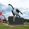
The name "Wawa" comes from the Ojibwe word for "wild goose". The Wawa area first appeared as Michipicoten Bay on Samuel De Champlain's map of 1632 of the New World. The first trading post was built in 1725 by the Hudson's Bay Company. The remains of the fur trading post can still be seen today. Wawa is home to the most photographed landmark in North America: The Wawa Goose.
Source: Wawa.cc

Hornepayne
Hornepayne was named after British financier Robert Horne-Payne. The town was established in 1916 when the Canadian Northern Railway's transcontinental line was built through the area. A long-time invalid, Mr. Horne-Payne rarely visited Canada, but his financial skills left an imprint on the landscape. He's been credited with directing $500 million of British capital to Canada from 1894-1928 through the British Empire Trust Company.
Learn more: www.hornepayne.com
Source: www.algomadistrict.ca
Chapleau
Chapleau is located on the Kebsquasheshing River, also known as the Chapleau River. In 1777, the Hudson's Bay Company established the first of a series of fur-trading posts in the areas. This community was named after Sir Joseph-Adolphe Chapleau, the secretary of state in the Conservative government of Sir John A. Macdonald during the railway's construction in the 1880s.
Learn more: www.chapleau.ca, Chapleau Murals
Bruce Mines
Bruce Mines is located on the north Shore of Lake Huron along Highway 17. This town was named after James Bruce, the Governor General of Canada in 1846. The town of Bruce Mines is known as the "Jewel of Lake Huron", and copper mining was established the same year by John Keating, an Indian Agent, after searching with Arthur Rankin, a land surveyor. Over the years, ownership of the community has changed but in 1903 Bruce Mines became officially the first town in Northern Ontario.
Learn more: Bruce Mines Museum, Simpson Copper Mine Shaft
Hearst
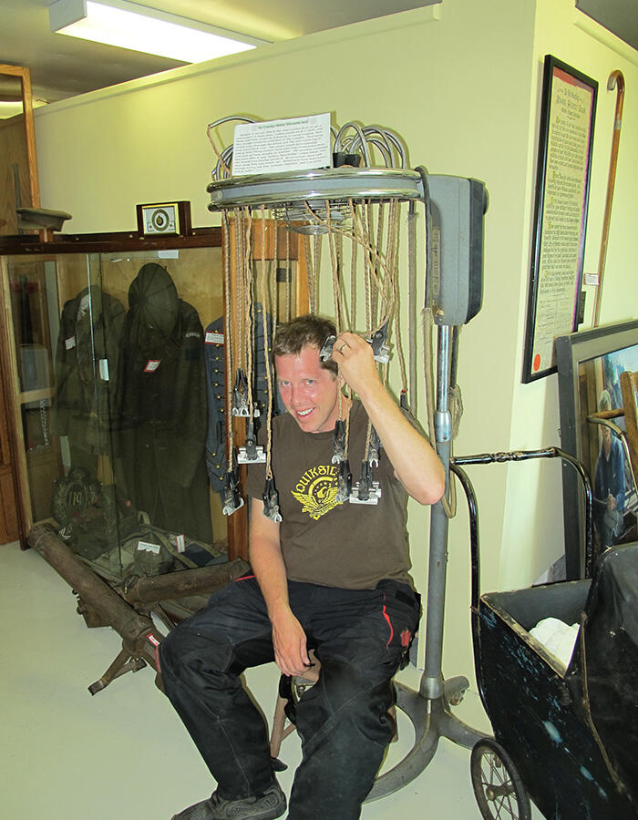
Hearst is not the original name of this community that developed in 1911. The original name of this city was called "Grant" Ontario which has some historical meaning to the community. The town came to be because of the construction of the National Transcontinental Railway. The town was renamed "Hearst" for William Howard Hearst, the Ontario Minister of Forests and Mines and later Premier of Ontario. Mr. Hearst promoted the community by developing farms in 1917. This community was incorporated in 1922.
Learn more: www.hearst.ca
Iron Bridge
Iron Bridge is located along the North Channel of Lake Huron. Iron Bridge was originally called 'Tally-Ho' because the lumberjacks would make a call and that would be the reaching post for them to meet. However, in the early 1900s, the community was changed to Iron Bridge after the bridge was built over the Mississagi River.
Learn more: Iron Bridge Historical Museum

Blind River
Blind River is situated on the North Channel of Lake Huron. The name comes from voyageurs because while they were canoeing through the river and did not have a visible path while paddling. Blind River was adopted by the settlement that grew at the mouth of the river.
Learn more: Timber Village Museum
Spanish
Spanish is located at the mouth of the Spanish River which pours into the North Channel of Lake Huron. There are many different stories as to why it's called, "Spanish". One account is that a priest travelling through the area in the 1700s encountered a Spanish-speaking woman who was married to a local Ojibwe Chief. Another story is that a Spaniard fled the Spain-controlled lower Mississippi Valley during the fur trade and took refuge in the area. Yet another claim is that a geologist named the nearby river to contrast the nearby French River.
Learn more: www.townofspanish.com
Echo Bay
Echo Bay is also known as the Township of Macdonald, Meredith, and Aberdeen. The first township was named after Sir John A. Macdonald in 1863 and this township became home to the village of Echo Bay. In 1950, after the Canadian government and the Ojibwe signed the Huron-Robinson Treaty, surveyors were sent into this area to examine the community. This resulted in three separate townships.
Learn more: www.echobay.ca
Thessalon
Located at the junction of Hwy 17 and Hwy 129 on the North Shore of Lake Huron, the Thessalon Township was established in 1887 after the Thessalon Indian Reserve had identified its boundaries. This place was originally an encampment called "Nevashewun" meaning "a point of land." It's believed that the name was corrupted when translated into French by the explorer Rene Francois de Brehan Galinee, who marked this place on his map of 1670 as "Tessalon". In 1755, cartographer Jacques-Nicolas Bellin charted it as Pointe aux Thessalons. 1877, N. Dyment of Barrie built a sawmill there. He called the place Thessalon Mills.
Learn more: Heritage Park Museum – Little Rapids
Elliot Lake
Elliot Lake is located North of Lake Huron between Sault Ste. Marie and Sudbury. In 1910, Elliot Lake first appeared on a Dominion Map. Although there are many different stories of where Elliot Lake got its name, this community is known for rich folklore. For example: "Elliot" belonged to a logging camp cook who drowned in the lake. In 2005, Elliot Lake celebrated its 50th anniversary as a city.
Learn more: Elliot Lake

St. Joseph Island
St. Joseph Island is located approximately 40 km east of Sault Ste. Marie along Hwy 17. In the 1670s, a map made by Rene de Brehant de Galinee labelled St. Joseph Island as "Anipich", an Ojibwe word meaning "place of the hardwood trees". The island is also known as "Payentanassin". In the 1740s, St. Joseph Island was changed to Saint Joseph by Europeans.
Learn more: www.stjoemuseum.com

As you can see there are some important, unique and historical reasons for the place names in the Algoma region.
Recommended Articles
The Group of Seven in Algoma

9 Facts to Know about the Agawa Canyon Tour Train
