10 Unbelievable Photos of the Winter Ice Caves on Lake Superior
One of the world's most scenic (and awe-inspiring) attractions is right here in Canada.
By Sheri Minardi


Our mountains here in Northern Ontario may not be what you imagine “mountains” to be. This is not the Swiss Alps or the Rockies. The mountains here are worn-down peaks of the Canadian Shield—but offer significant elevation changes, rugged trails, and the most incredible views!
In this guide, we share some interesting facts, locations where you can hike and enjoy the views, and interesting lookouts to add to your next road trip.
Ishpatina Ridge, about 90 km north of Sudbury in Northeastern Ontario, is an estimated 693 m (2,274 feet), located within Lady Evelyn-Smoothwater Provincial Park.
Can I get there? This type of wilderness trip is best suited for advanced wilderness adventurers. It’s a multi-day backcountry trip with demanding hikes and portaging.
Also located in Lady Evelyn-Smoothwater Provincial Park is Chee-bay-jing (Maple Mountain) ‘place where the spirits go’, a sacred site to the Temagami First Nation. The vertical rise of this mountain is 351 m (1,152 feet).
Can I get there? To plan your trip, contact Smoothwater Outfitters & Lodge who can help outfit your trip.
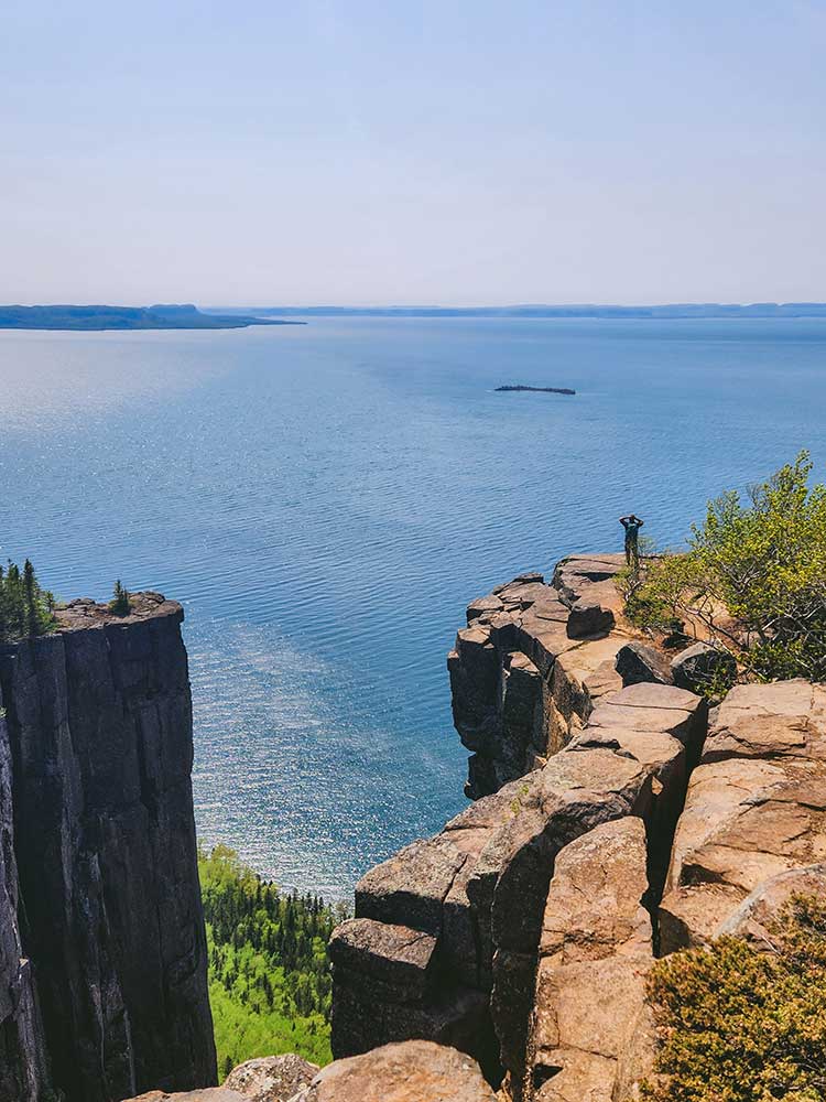
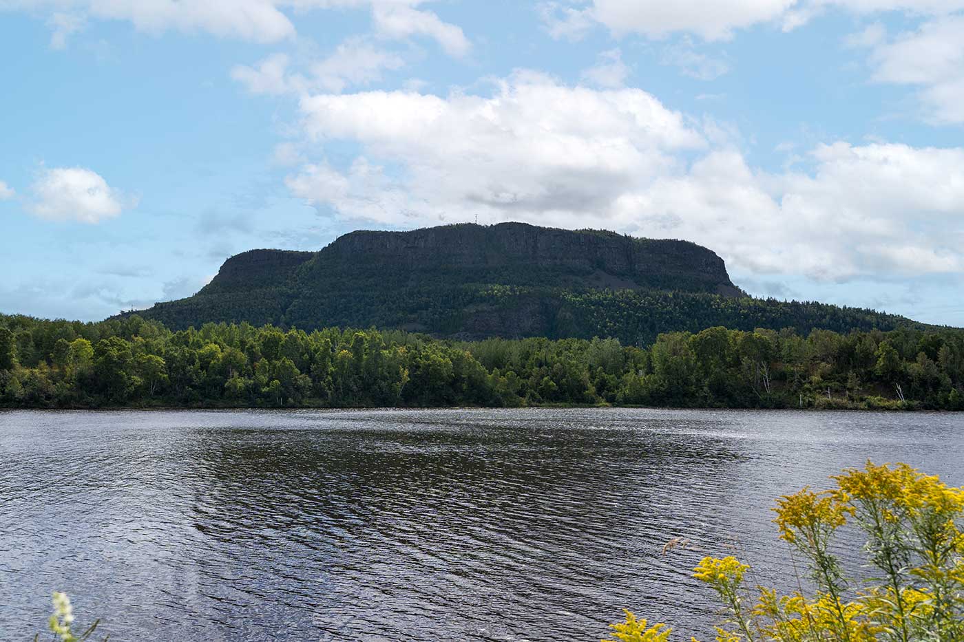
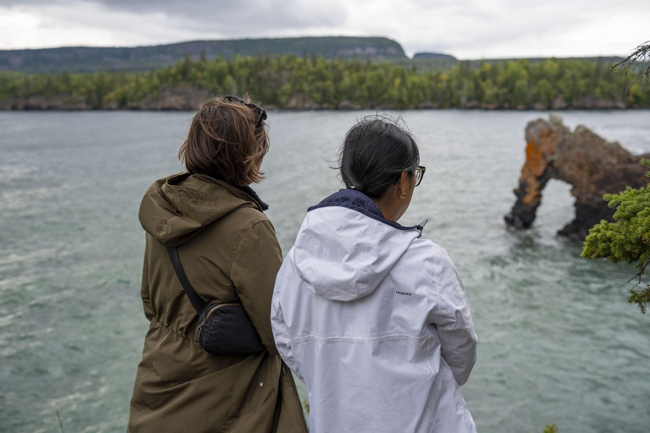
In Northern Ontario, Sleeping Giant near Thunder Bay in Superior Country is known for having some of the tallest cliffs in the province. The highest point is often called ‘The Top of the Giant’.
Can I get there? Yes, Sleeping Giant Provincial Park has a few trails that will get you to the top of the cliffs, but these are difficult trails. An alternative is the Sea Lion Trail, a must for photographers. From this trail, you get an awesome view of the Giant's massive cliffs towering above the water.
If you’re looking for another beautiful viewpoint in the area, Mount McKay may be just the spot you’re looking for.
Animikii-wajiw (Mount McKay) rests on Fort William First Nation and is an active sacred site where the Thunderbirds are believed to nest. This mountain rises 299 m (981 feet) above Lake Superior and provides a full profile of the Sleeping Giant.
Can I get there? Read this guide about visiting Animikii-wajiw (Mount McKay).
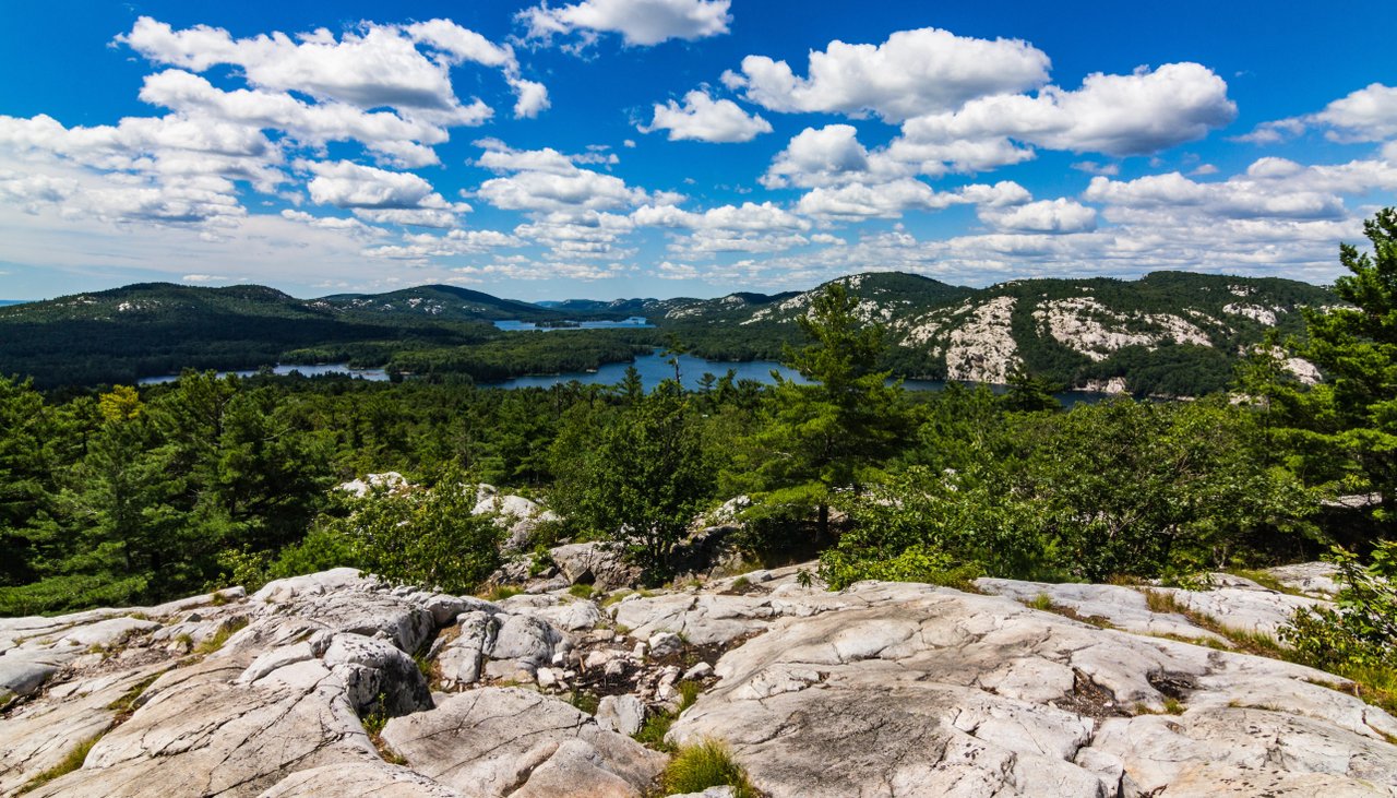
The La Cloche Mountains in Northeastern Ontario. This optical illusion is caused by white quartzite. While pink granite is found throughout most of Ontario, these hills are made of ancient metamorphosed quartz sandstone. The reflection of sunlight on this rock is so intense, it shimmers like snow!
Can I get there? Yes, you can. A moderate choice is the Granite Ridge Trail in Killarney Provincial Park, where hikers climb a ridge of pink granite to a lookout. Upon reaching the lookout, you get a stunning view across the valley to the white quartzite La Cloche Mountains. This is a neat way to photograph the colour contrast. Experienced hikers looking to add to their bucket list plan a backcountry trip on the La Cloche Silhouette Trail. We recommend trip planning with Killarney Outfitters, who can help you prepare for this strenuous trail.
Many hiking trails lead to breathtaking mountain or cliff-face lookouts. Here’s a list of trails to consider when planning your trip:
Coastal Hiking Trail (Pukaskwa National Park): Offers rugged, beautiful views of the Lake Superior coastline, including the highlight: the White River Suspension Bridge Trail (18 km day hike) over Chigamiwinigum Falls.
Devil's Rock Trail (Temiskaming Shores): A shorter, rewarding hike ending at cliffs that plunge 300 feet to Lake Temiskaming below. Read about this adventure from Backroads Bill here.
Robertson Cliffs Trail (Algoma Highlands Conservancy): Part of the Voyageur Trail, this 5 km out-and-back trail offers spectacular views of the valley and Lake Superior, especially famous for vibrant fall foliage. Find trail maps and information here.
Northern Ontario is a prime road-tripping destination, especially along the Trans-Canada Highway (Highway 17) following the coastline of Lake Superior:
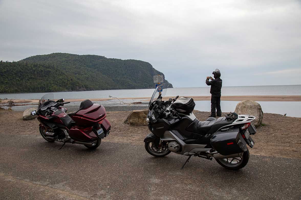
Highway 17 (Lake Superior Coast): The stretch of road from Sault Ste. Marie to Thunder Bay takes you along one of the best drives in Canada. This route is most famous for its magnificent view of the big lake and the rugged Canadian Shield mountains.
From Algoma Country to Superior Country, check out these lookouts:
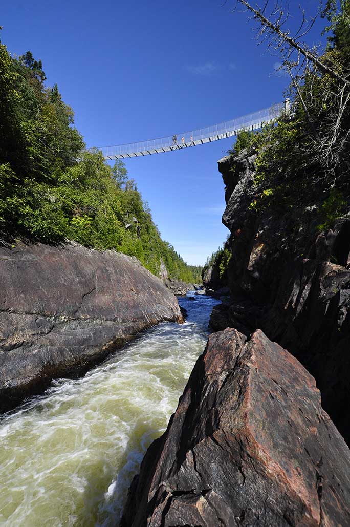
Lastly, let’s talk about the Agawa Canyon, a Canadian Signature Experience located in Algoma Country.
This famous canyon is inaccessible by car, and visitors arrive via the Agawa Canyon Tour Train, which departs from Sault Ste. Marie.
It's a 114-mile journey through stunning wilderness before the train descends 150 m (500 feet) to the floor of the canyon. The train only takes passengers in summer and fall. The highlight of this adventure is the Lookout Trail, a steep ascent of 300 stairs built into the side of the canyon wall. From the top, you're 76 m (250 feet) above the valley, with a 360-degree view of the winding river and granite cliffs.
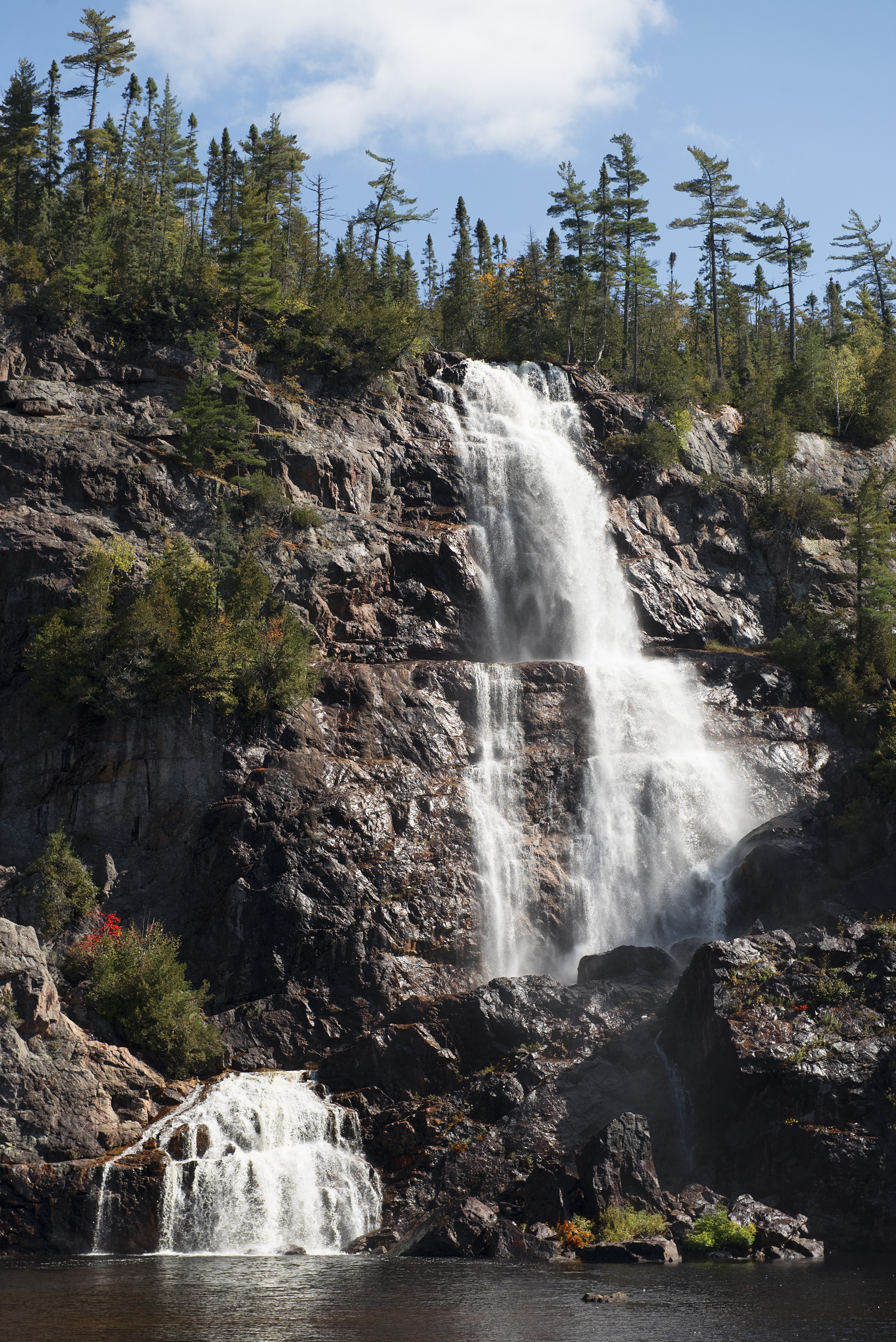
The canyon also has 3 waterfalls: Bridal Veil Falls, Black Beaver Falls and Otter Creek Falls. Bridal View Falls is 68 m (225 feet) and is best recognized for having been painted by members of the Group of Seven: J.E.H MacDonald and Lawren Harris.
Whether you’re standing on the 2-billion-year-old quartzite of the La Cloche Mountains or watching the sunset over the Sleeping Giant from the heights of Mount McKay, Northern Ontario’s "mountains" offer a rugged beauty found nowhere else in Canada.
Don’t worry about needing to be an elite mountaineer (or something like that) to enjoy the views; with accessible roadside lookouts and incredible hiking trails, just about anything is possible. Pack your boots, grab your camera and head north. The view from the top is waiting for you!