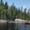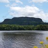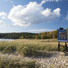
Gargantua Harbour and Warp Bay in Lake Superior Provincial Park
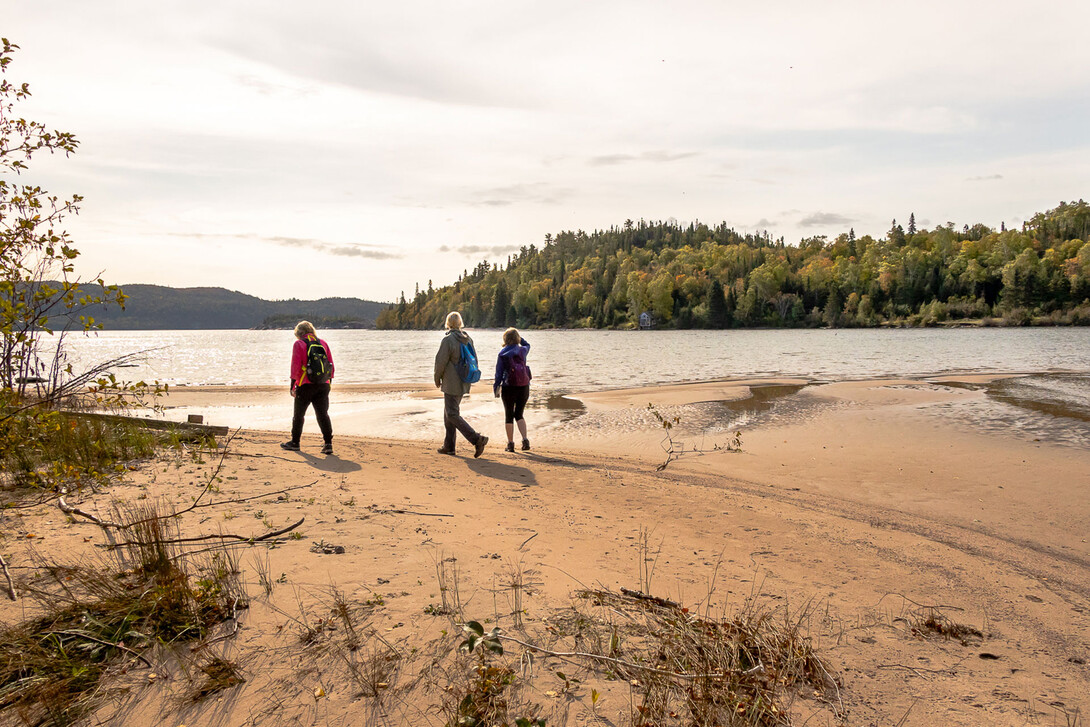
At 5:45 am, the alarm on my phone sounded. It was time to get up and get ready for an epic day of hiking in Lake Superior Provincial Park! I picked up my three girlfriends for the two-hour car ride. We all donned our masks, and once our safety measures were in place, off we went to head north to hike. Gargantua Harbour and Warp Bay are situated in the Gargantua Island Preserve.
The weather radar showed a band of rain and storms moving toward Sault Ste. Marie, but the area we were headed to was north of the Sault. It would be sunny and 17 °C at our destination. Sure enough, the skies began to clear as we travelled north along the Trans Canada Highway.
It is late September and now officially autumn. The colours this year are absolutely brilliant along the highway. Even though we live here, we are in awe of the breathtaking vistas as we passed through the Goulais Bay area, Haviland Bay, Harmony, Batchawana Bay, Pancake Bay, Montreal River, Katherine’s Cove, Alona Bay and on to Gargantua.
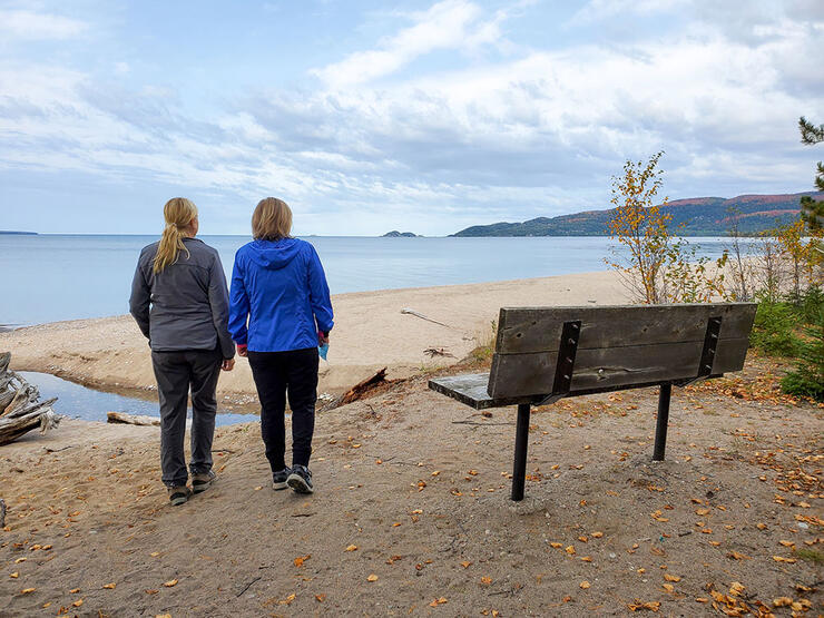
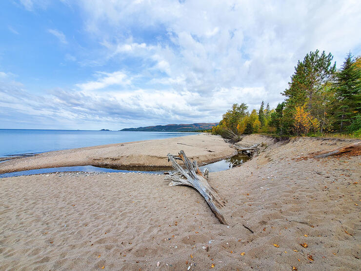
Our adventure took us 170 km north of Sault Ste. Marie. It is a two-hour drive north to the turn-off to Gargantua Road in Lake Superior Provincial Park. Gargantua Harbour is the main access point for the Coastal Trail in Lake Superior Provincial Park. From Gargantua Harbour, you can continue hiking all the way to Chalfant Cove, which is the northern point of the Lake Superior Provincial Park Coastal Trail. We were only planning to hike the harbour.
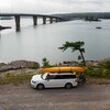
We soon reached Gargantua Road. We turned left and, after a short driv,e passed by the self-pay booth on the right where you can stop and purchase a day-use pass. We stopped at the Agawa Visitor Centre as we entered the park to purchase our day pass. Once we had our day pass and placed it on the dashboard, we continued down Gargantua Road for 14 km. The gravel road is fairly narrow with a few good potholes, but is accessible by car with no problem. We passed over a couple of single-lane bridges along the way.
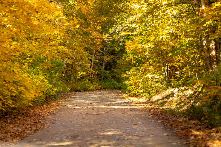
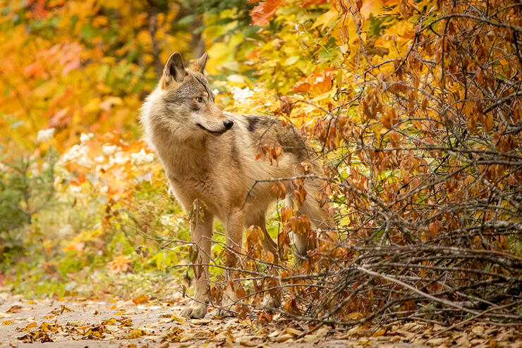
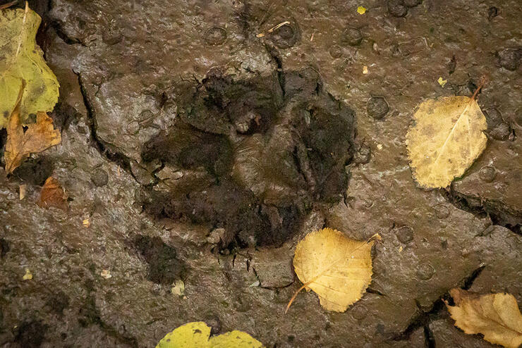
As we began driving along the gravel road, to our surprise and delight, we happened upon the most beautiful huge timber wolf! The wolf was healthy and curious about us. It stopped and stared for a minute or so–just enough time to get some pictures of this majestic animal. It was one of the highlights of the day! We continued on, in awe of the autumn colours towering over the road like a tunnel.
Approximately, 30 minutes of driving, we reached the parking area for Gargantua Harbour. The sign is situated under a moss-covered roof, and the trail is well marked to the right. The trail is a very easy 2 km walk through the boreal forest along an old road to the harbour. A short distance along the road, there are a few campsites on the left along the most beautiful beach. We ventured down one of the trails and onto the beach in Gargantua Harbour. The view was stunning! On the opposite side of the road were signs leading you up to the “well air-conditioned” wall-less outhouses. A room with a few for sure!
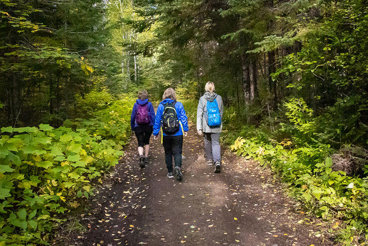
Sights to See in Gargantua Harbour
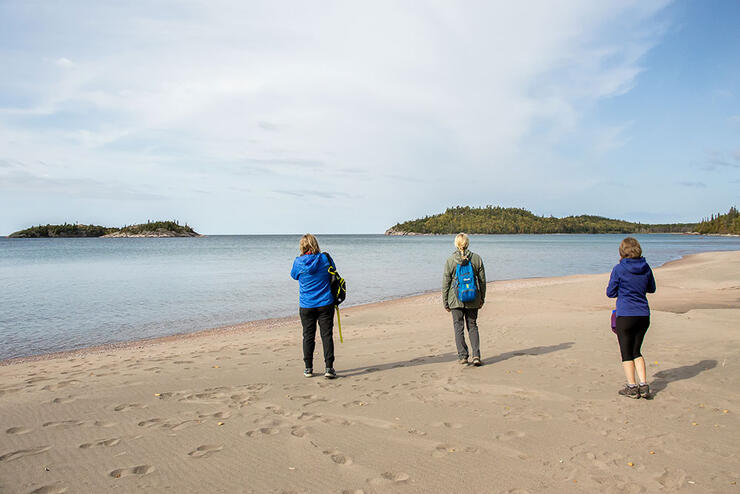
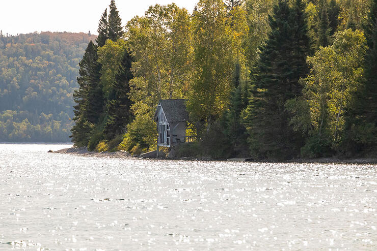
Gargantua Harbour is a natural harbour and a fun place to explore. In the 1930s and 1940s, it was a fishing and logging village. You could only get to it by boat. In the 1960s, it became a ghost town and was abandoned because of the sea lamprey devastating the fishery. In the ghost town, you will find the stone foundation of an old building as well as a ranger’s cabin along the harbour shore. Just before the ranger’s cabin, you will find the remains of the wharves.
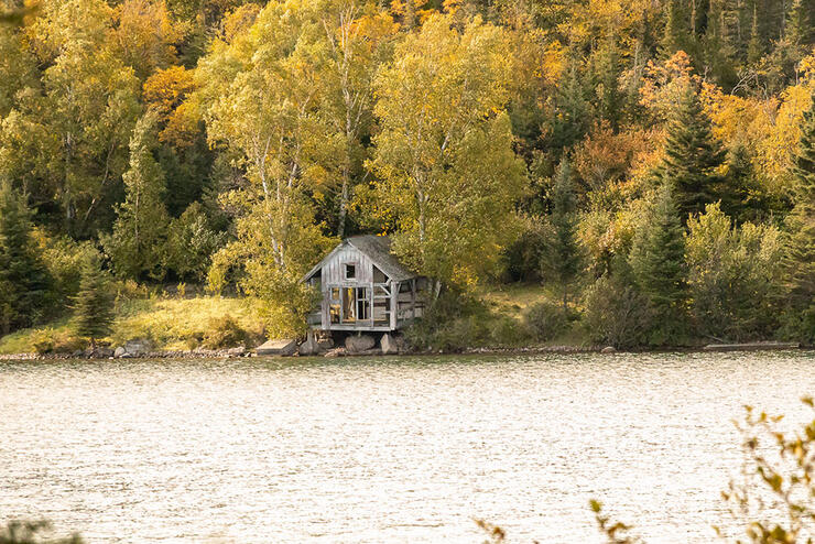
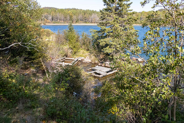
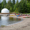
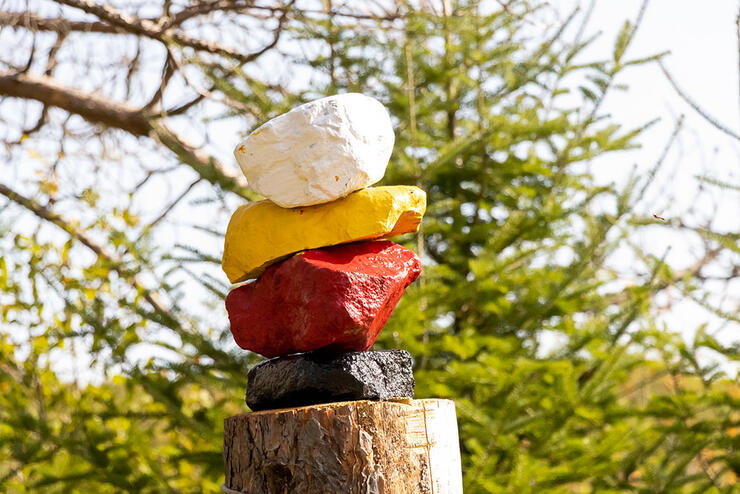
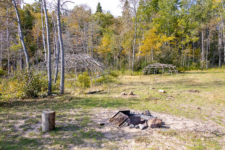
Before you get to the cabin, you will find an Indigenous campsite of the Ojibwe. Two wigwams are erected with three woodcarvings inside–two different bears, and an eagle. The trees are marked with bands of red, white, black and yellow. There are also four stones on top of each other, painted red, yellow, white and black, marking the area. The four colours signify the Four Cardinal points on the Medicine Wheel and are the Four Sacred Directions, represented among the Ojibwe. To learn more about the Four Directions Teachings, click here. Batchewana First Nation refers to this region of their unceded traditional territory as Nanaboozhung. For thousands of years, the Gargantua Islands archipelago has held special spiritual significance to Indigenous people.
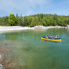
We tried to see the shipwrecks in the harbour, but with the high water levels, we could not see them. The Columbus, a 130-foot fishing boat or supply tug, caught fire while at the dock. It was set free to burn and sink to save the town and the docks from burning down! Rumour has it that there might be two other small boats that sank here as well. I bet it would be fun to explore through snorkelling or scuba diving to find these shipwrecks. Next time, we will bring our kayaks and explore the harbour from the water.
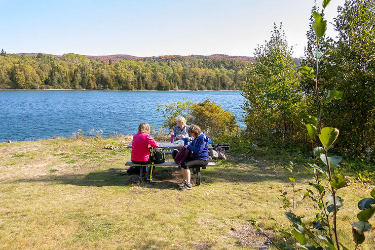
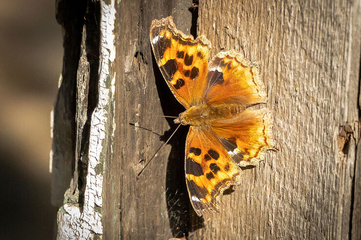
After exploring the harbour, we had a picnic lunch. There were many beautiful Compton Tortoiseshell Butterflies flitting around as we ate. It was 12:30 pm and we were not ready to head home yet. We researched the distance to Warp Bay and calculated the time to get there and back before the sun started to set. It was approximately another 10 km round trip from where we were in the harbour. We had just enough time!
Exploring Warp Bay
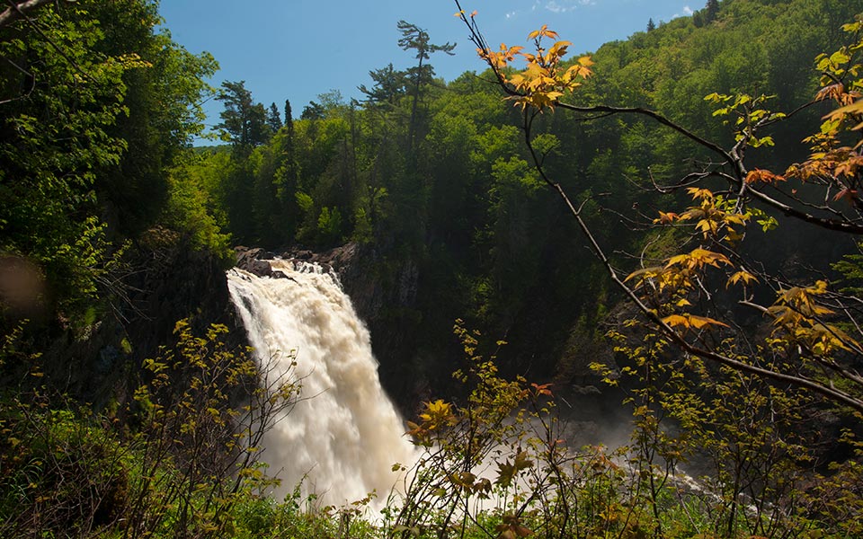
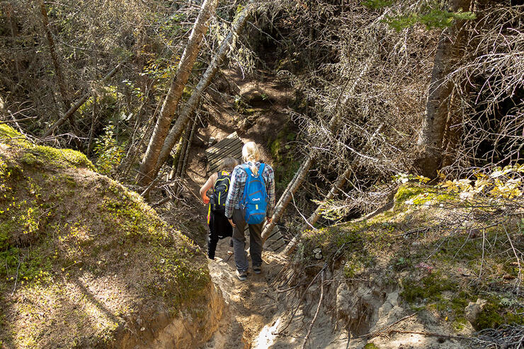
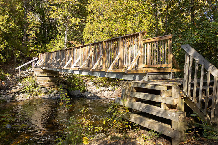
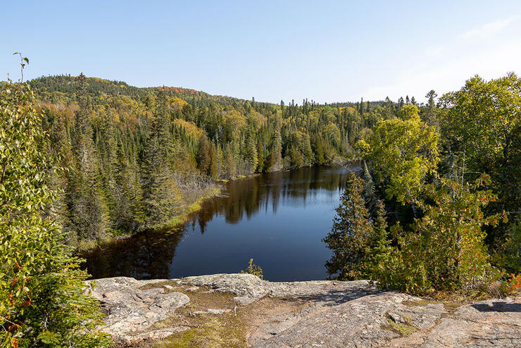
The trail into Warp Bay is well-marked and easy most of the way. There is a gradual incline and then a decline to the bay. Near the end of the trail towards Warp Bay, past the wood bridge, it gets steeper with some rocky areas to maneuver. There is a beautiful rock cliff overlooking the river that this more difficult part of the hike parallels. To our surprise, the wood bridge we came upon crosses the Gargantua River Falls. What a beautiful little waterfall!
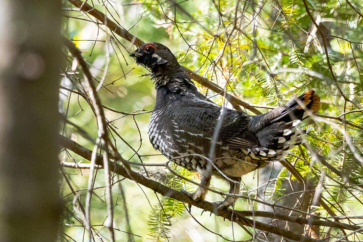
Along the trail to Warp Bay, we were lucky once again to come across two spruce hens. We flushed them up into the trees as we rounded the bend. They were very curious about us, and we were able to spend some time taking pictures of them. As we were watching the spruce hens, we encountered four young men from Barrie, Ontari,o who were just coming back from Warp Bay. They were camping in the park for a few days.
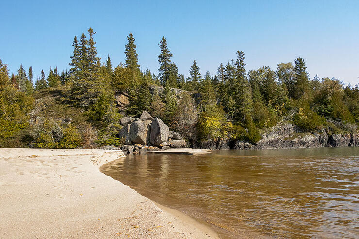
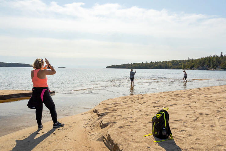
After approximately an hour of hiking, we reached Warp Bay, and it was magnificent! The sand beach had American Pipits and a Herring gull flitting along the beach. To the right, the trail continued on along the Coastal Trail and to the left was the delta of the Gargantua River. We ventured over the delta, and it had the coolest rock formations and a stunning view of the islands just out from the coastline. We spent only about 20 minutes wading in the water and taking pictures. As we were exploring, a very nice couple came along from the north Coastal Trail. They were from Hamilton originally and were camping in the park for a week. They just moved to Sault Ste. Marie, a few months ago and are loving Algoma!
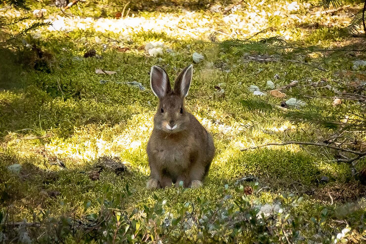
We would have loved to stay longer, but with it being autumn and the days getting shorter, we wanted to get back to our car before dark. We had about an 8 km hike ahead of us. As we began to hike back out, we came across a very healthy and well-fed jackrabbit eating the clover just beyond a campsite. It was a great day for wildlife!
After approximately 17 km of hiking, a full 12-hour day from start to finish, our hearts were full and our bodies were aching. We reached our car, donned our masks once again and headed back to Sault Ste. Marie. The car was quite a bit quieter for the trip home as we were tired but fulfilled. We had a great day of “nature bathing” as we called it.
We will definitely return to Gargantua Harbour and Warp Bay, but will camp next time to be able to spend more time on the magnificent beaches and explore more along the Coastal Trail. We have such gratitude for where we live. Lake Superior Provincial Park never disappoints!
Information
Gargantua to Warp Bay: Easy, 5 km (3.1 mi)
Warp Bay to Devil’s Chair: Easy, 2 km (1.2 mi)
Gargantua to Chalfant Cove: Moderate, 7 km (4.3 mi)
Note: the above distances are one-way only. Return along the same routes to Gargantua Harbour.
Recommended Articles
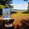
The Group of Seven in Algoma

9 Facts to Know about the Agawa Canyon Tour Train
