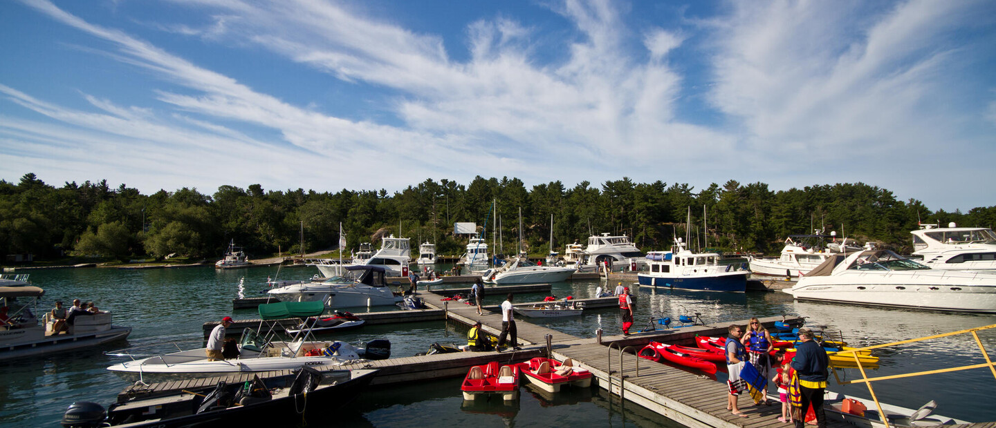
Boating the North Channel
The North Channel is a bucket list experience for both Canadian and American boaters. There are a few reasons for this:
The channel can be accessed from east and west and from the US or Canada.
It can provide a short trip or an epic one (it’s even part of the bucket-list boating journey known as The Great Loop).
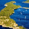
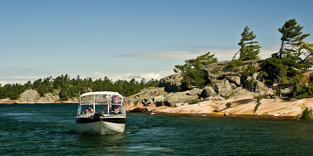
And it offers tons of open water and unspoiled wilderness. Much of the islands and surrounding area are either Crown Land or Indigenous land, so you won’t find a ton of cottages—while at the same time boaters are never too far from the comforts of civilization.
Roy Eaton, based in the popular North Channel port of Little Current, on Manitoulin Island, is an expert on boating in the area, and the founding commodore of the Little Current Yacht Club. He's also the host of Little Current Cruisers Net, broadcasting on Channel 71 VHF radio every day from July 1 - Aug 31 starting at 9 am, an essential resource for boaters on the Channel. He answered a few of our questions about boating basics in the area.
When cruising the North Channel, what are the most important things to know?
Boaters should have a good set of charts, recent charts. You can get by with certain guides, but don’t just depend on GPS systems. There are parts of the North Channel where the GPS is wrong because of magnetic anomalies.
There are small things like where the different ports are, main anchorages, reading ahead of time about what is available so you hit the highlights—but people come back here for 30, 40 years and are always finding new things.
There’s lots of provisioning spots, and marinas are relatively close. The North Channel is considered to be the number-one freshwater cruising area in the world. One of the things that makes it that way is that we have many anchorages, large and small, within a relatively short distance.
Where are the best and easiest places to launch from?
It depends on the size of your boat. If you’re coming from Southern Ontario, most people launch from Killarney, Little Current or Gore Bay. From the North Shore, there’s Spanish and Blind River.
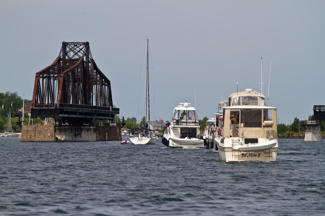
Where do people generally stop when boating the North Channel?
There are lots of options. In the East, there’s Bay Finn (the only true fjord in North America). In the West, there’s Benjamin Island, Croker, Fox—those three islands together form a small area that’s very popular. There’s Covered Portage Cove outside Killarney. Outside Little Current, there’s Sturgeon Cove. Launching out of Spanish, there are a number of anchorages in Whalesback Channel.
Do people typically travel from the North to the South end or vice versa?
About half our boaters are American, coming from Lake Michigan or Lake Huron. Canadian boaters come up Lake Huron and out of Georgian Bay. Then the people doing the Great Loop—we call them Loopers—they come out of Lake Ontario through the Trent-Severn system.
Are there any conditions that boaters should be aware of on the North Channel?
This year, we have record-setting high water. Every chart is based on what’s called a low water mark, and right now we are 3 ½-4 feet, or more, above that mark. So you have to keep a real close watch. There are many islands, so one thing we tell people is to count the islands as they go by in order to be sure of exactly where they are. Be aware of the weather, keep your radio on. And be aware that you can’t always depend on your cell phone up here—keep the people back home from panicking if they can’t reach you (laughs).
What are some things that boaters can expect cruising here?
You can expect to see wildlife, a wide variety of wildlife. And because of Cruisers Net (an online community for boaters), we’re known for having a real community here. If you’re a first-timer and need advice or you run into trouble, there are people here who will help you.
Find out more about the North Channel: thenorthchannel.ca
Read more about the North Channel:
Recommended Articles
6 Ways to Explore the Great Lakes by Boat or Cruise
Discover Northern Ontario's Top Boat Tours

A Guide to Boating the Trent Severn Waterway in Ontario 2025
Boating Events in Ontario: A Complete Guide to Summer 2025
19 Charming Lighthouses to Visit in Northern Ontario
I Boated the Trent Severn Waterway and Here's What It Was Like
I Sailed the New Viking Octantis and Here's What It Was Like
Canadian Canoe Museum
14 PWC Itineraries and Tips for Riding in Ontario
A Thousand Adventures: Boating the 1000 Islands in Ontario
Road Tripping with your PWC
Boat Tours and Cruises in Ontario
A Guide to Ontario's Marinas

5 Baller Boating Destinations in Ontario
Amazing PWC Getaway
