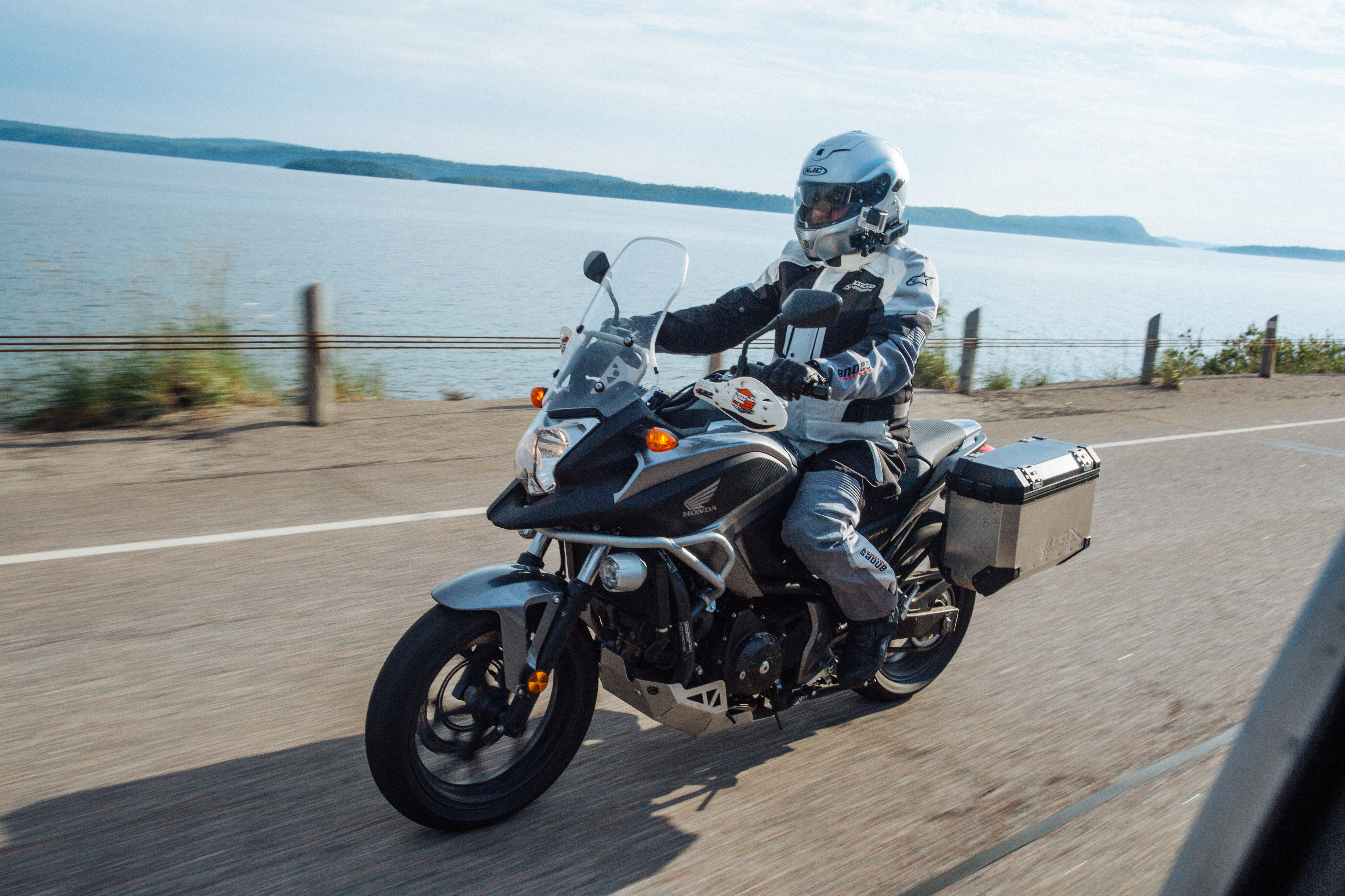
Motocross Legend Ron Keys Rides the Bruce
Blues & Beers in the Bruce
Misty morning dew gives way to the gloomy forecast as tiny drops begin to appear on my windshield. Bruce County's Mildmay, and the Harley Blues Cafe, give us a pleasant respite from the rain and my burger, dressed with local sauerkraut, gives us a clue to the ancestry of this area. Dotting the countryside, village names proudly display the German and British heritage of those who call these hills and dales their home.
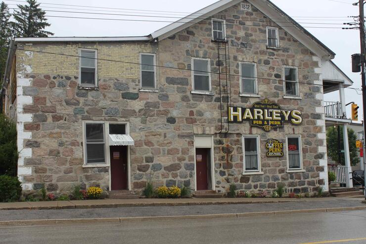
With stomachs pleasantly topped up, we follow Bruce Road 6, meandering past productive farms and fields filled with corn, wheat, and oats and their various shades of green, to the village of Neustadt.
Voted one of Canada's ten prettiest towns by Harrowsmith magazine, Neustadt is also the birthplace of the Right Honourable John Diefenbaker, Canada's thirteenth Prime Minister from 1957 to 1963. Also located in Neustadt, and more importantly for some, is the Neustadt Springs Brewery.
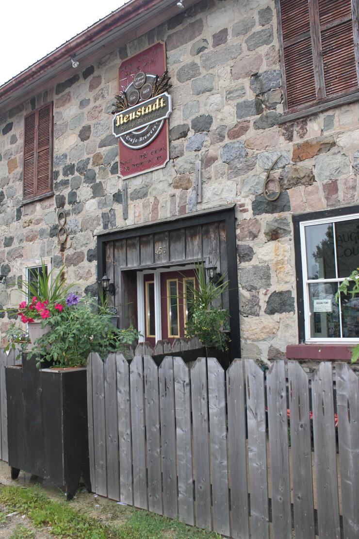
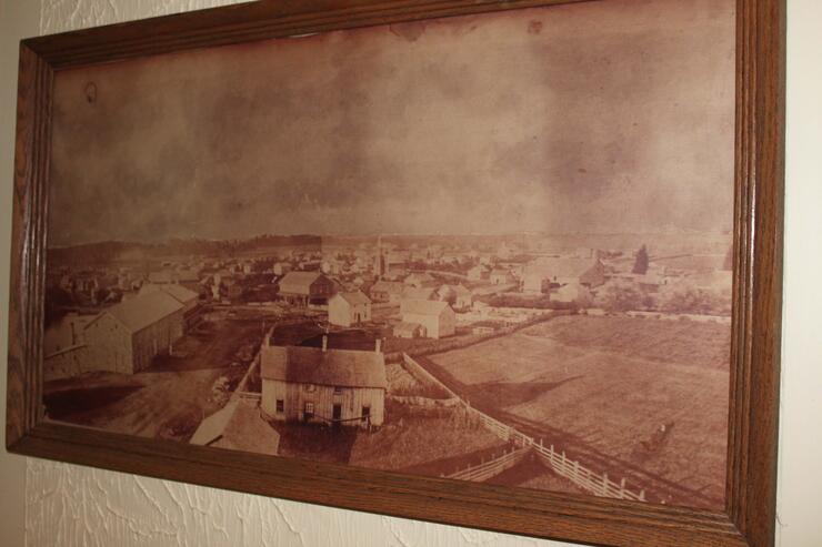
In 1859 Henry Heuther from Baden, Germany arrived in Neustadt and built a wooden structure, establishing the Crystal Springs Brewery. The brewery burned down but Heuther, determined to build again, hired German stone masons and a new brewery was up and running by 1869. In 1916, due to prohibition laws in Ontario, the brewing business closed. The building first became a creamery then a meeting hall and dance hall, constantly reinventing itself over the years.
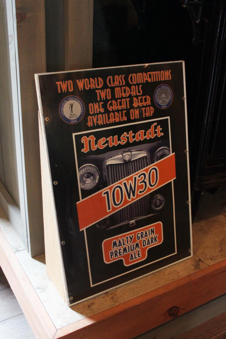
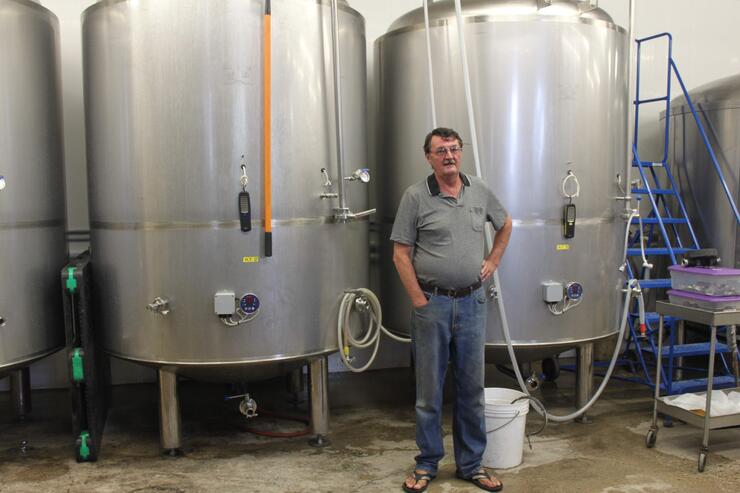
In 1999, Andrew and Val Stimpson moved to Neustadt from the UK and began restoring and renovating this historic stone building. Today, the Stimpson's Neustadt Springs Brewery produces 12 different brews including their very popular 10-W-30 a delicious 14-day amber beer, and a new dark ale they call 10-W-40.
A tour of the basement reveals beautiful stone-arched ceilings. This is where Henry Heuther brewed his popular beers and it is a step back in time to the way beer was produced in times past. Andy is a great source of knowledge about the building's history and I can tell that he takes great delight in telling its tales.
Beef and Other Critters
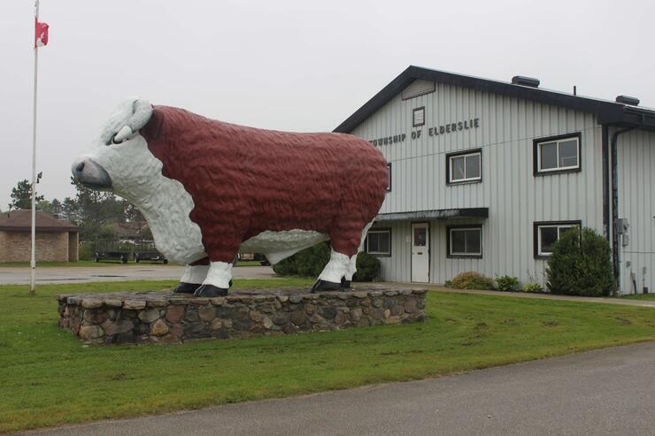
As we leave Neustadt heading north on the Grey Bruce Line, we turn left at the Harley Blues Cafe in the hamlet of Scone and arrive in "The Nicest Town Around", the village of Chesley. Beef farming is a Bruce County mainstay, and the 15-foot "Bruce the Bull" stands in front of the Chesley Municipal Building, a real eye catcher. Built in 1876 by a local beef farmer, Bruce traveled far and wide promoting locally grown beef until he was finally retired here.
From Chesley, Bruce 11, then Bruce 3 and 17 take us into Port Elgin. We have crossed the meandering Saugeen River no less than 8 times in 80 kilometers of travel within Bruce County. The Saugeen, shaded by overhanging trees along its banks, meanders slowly through farmlands and drains all the county's excess water into Georgian Bay at Southampton.
Leaving Port Elgin, Huron Drive hugs the shoreline of Georgian Bay up to Southampton, one of the most beautiful drives in Ontario. The sparkling, crystal-clear water with its blue reflection of the heavens is far from the pollution of the big cities. A gorgeous sunset, with Chantry Island and its white lighthouse gleaming and silhouetted against the evening sky; this is fitting end to our wonderful day. We check in at the Quality Inn; it is fully booked so we end up in the Bridal Suite with our own personal whirlpool.
After a good night's rest we determine to take the less-travelled route so we follow Bruce 13 through the rolling hills and meadows to Wiarton to visit Ontario's most famous citizen - that albino, rodent prognosticator, the groundhog, Wiarton Willie.
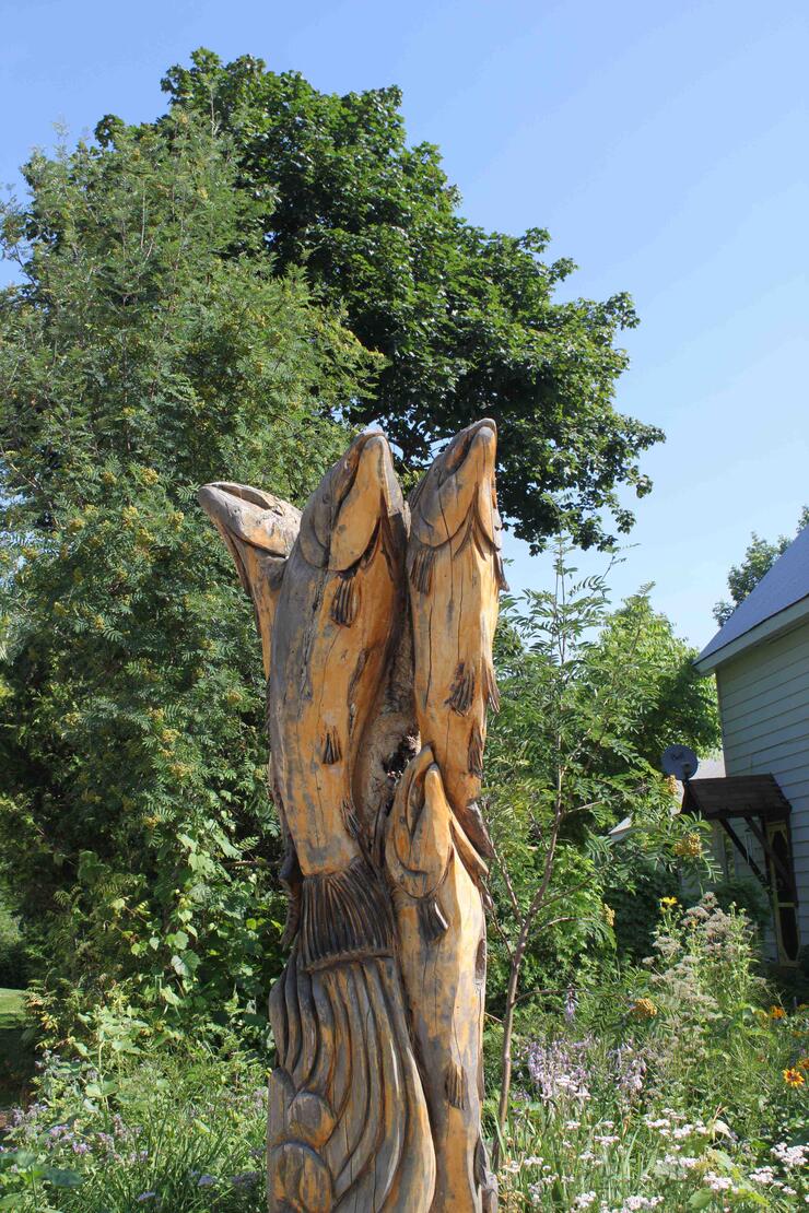
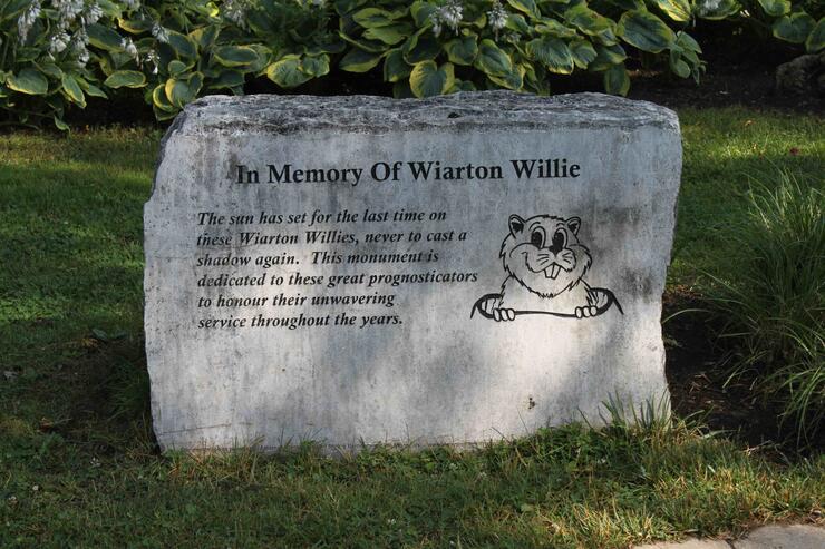
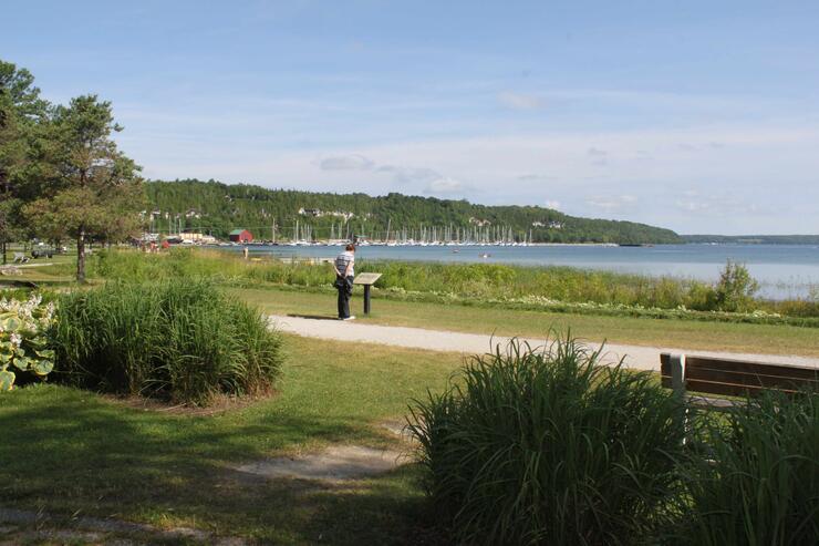
A memorial to all the past Willies stands central in the park between Dockside Willies Restaurant and the beautiful blue waters of Colpoys Bay.
The Tourism Bureau is the original Wiarton train station but rather than destroy it, the town elected to move it to the park and today it serves the curiosity of all the tourists in the area.
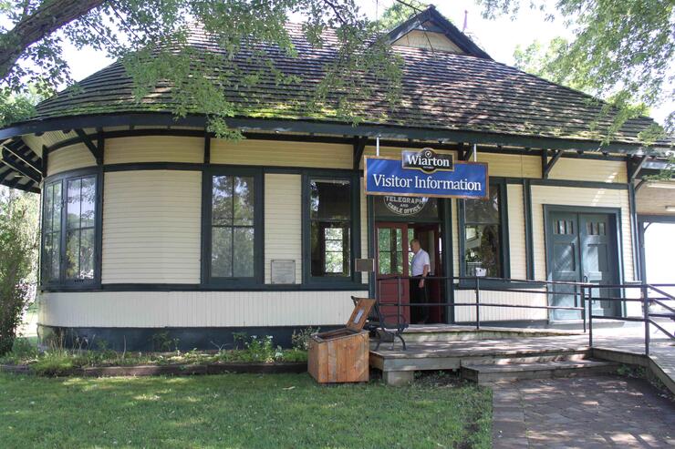
The wood frame structure with white clapboard, blue trim and its huge overhanging roof to protect travelers from the weather, is a reminder of the disappearing train stations of yesteryear that used to be found at every whistle-stop across Canada.
Winding Along the Niagara Escarpment
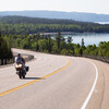
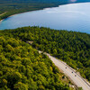
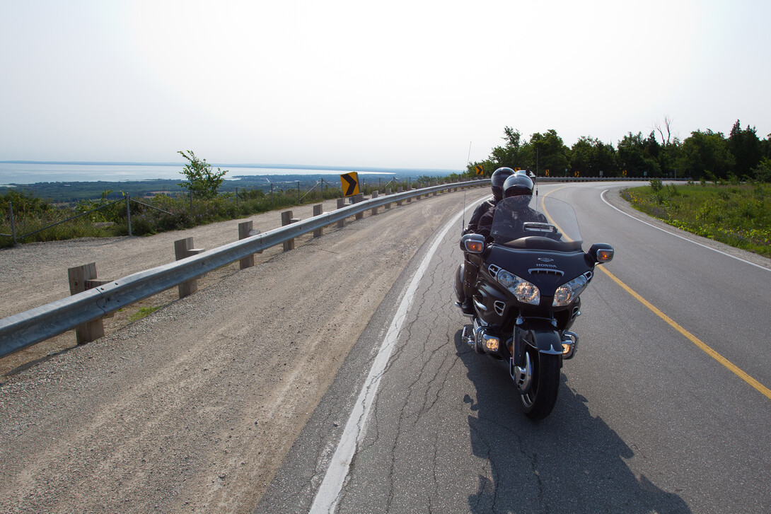
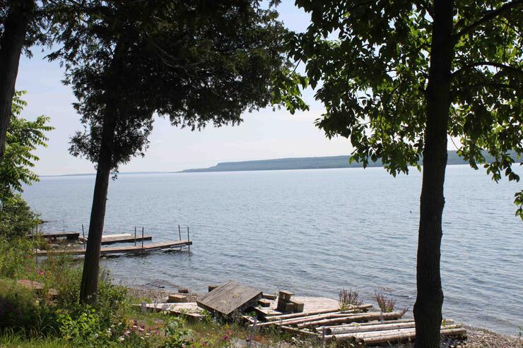
We slowly grind up the hill on our way out of town hunting for Bruce 9, which will take us along the rocky shoreline of Colpoys Bay and the grey limestone of the Niagara Escarpment rising steeply on the far shore. We are now in a Unesco World Biosphere. The road meanders along beside the crystal clear blue waters with ducks, loons and seagulls basking in the water and perched on rocks along the shoreline. Bruce 9 takes us inland a bit and we turn right onto Purple Valley Road.
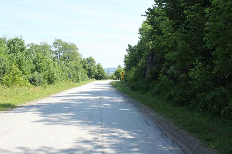
The landscape has changed from rocky shoreline to rocky limestone outcrops with squat fir trees and junipers scattered about. We roll along through the hamlet of Purple Valley enjoying the sunny, warm weather and turn onto McIver Road. As we climb a small grade, the Niagara Escarpment looms large on the far side of Colpoys Bay.
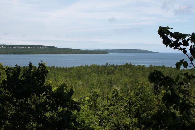
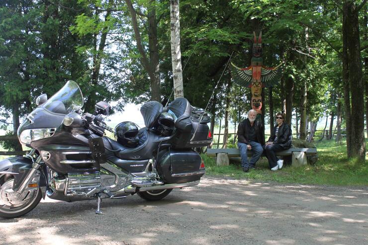
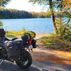
We stop at Baywatch Parkette, a photographer's dream location, to take a break and gaze across the sparkling waters reflecting the azure sky and the green-capped Escarpment rising up as a backdrop to the bay.
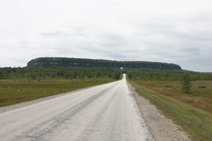
Wanting to visit the Cape Croker Lighthouse at the Cove of Cork, we disregard last night's heavy rains that left this dirt road strewn with puddles, and we carry on. I mean, how far can it be? About 5 kilometers of dirt-road navigation later we arrive at the end of the road and Cape Croker Lighthouse. I am thankful for my dirt bike and motocross background because it now stands me in good stead for situations such as this.
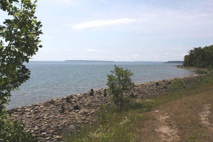
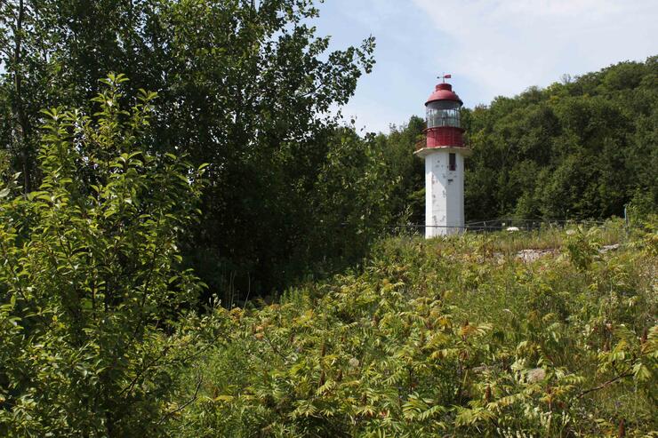
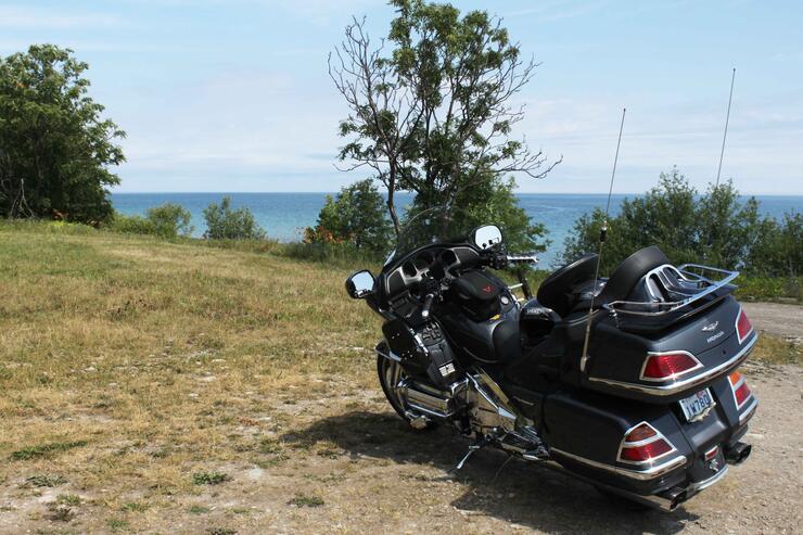
On the side of a hill, at the end of the road, the unmanned lighthouse stands, high above a rock-covered beach dotted here and there with inukshuks built by previous visitors. It is so quiet here; I can almost hear my own heartbeat.
After another 5-kilometre dirt road return trip the bike is filthy. We wander over to Sydney Bay and find a cute little secluded beach and marina. Sailboats quietly tack their way out of the harbour while children jump from the dock and play in the water.
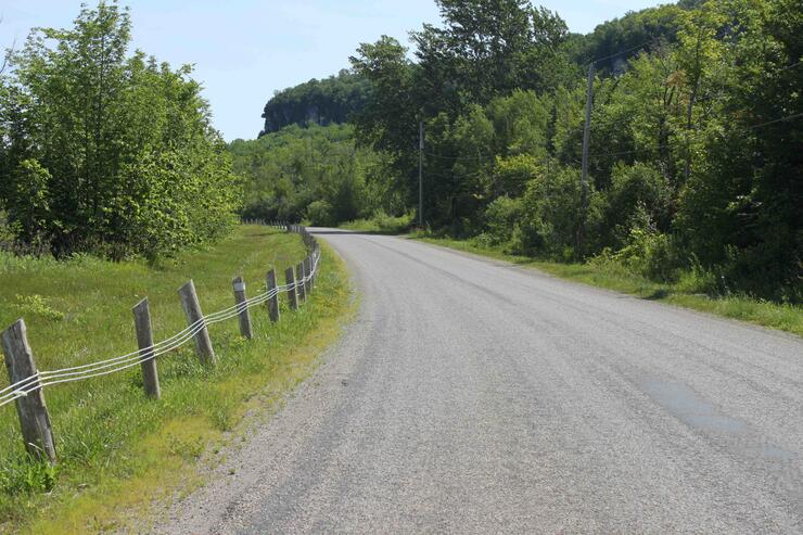
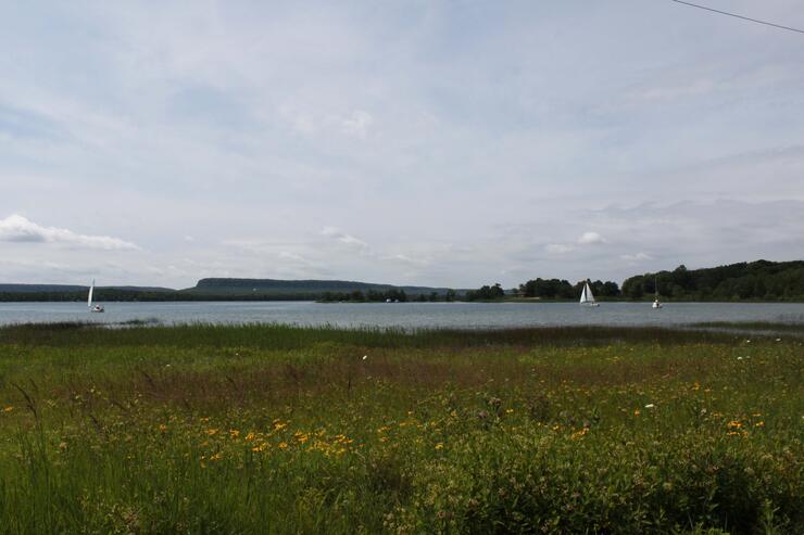
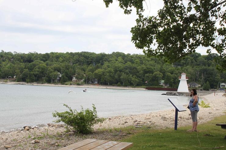
From here we head back to Purple Valley Road and we opt for a shorter route along Waugh's Road, although gravelled, for a few miles to Bruce 9 again. Soon we are in Lions Head, named after the silhouette of a lion's head on the escarpment on the far side of Isthmus Bay. Lion’s Head is a pretty little village with shops, a marina, a couple of restaurants, a farmer's market and the Lions Head Lighthouse.
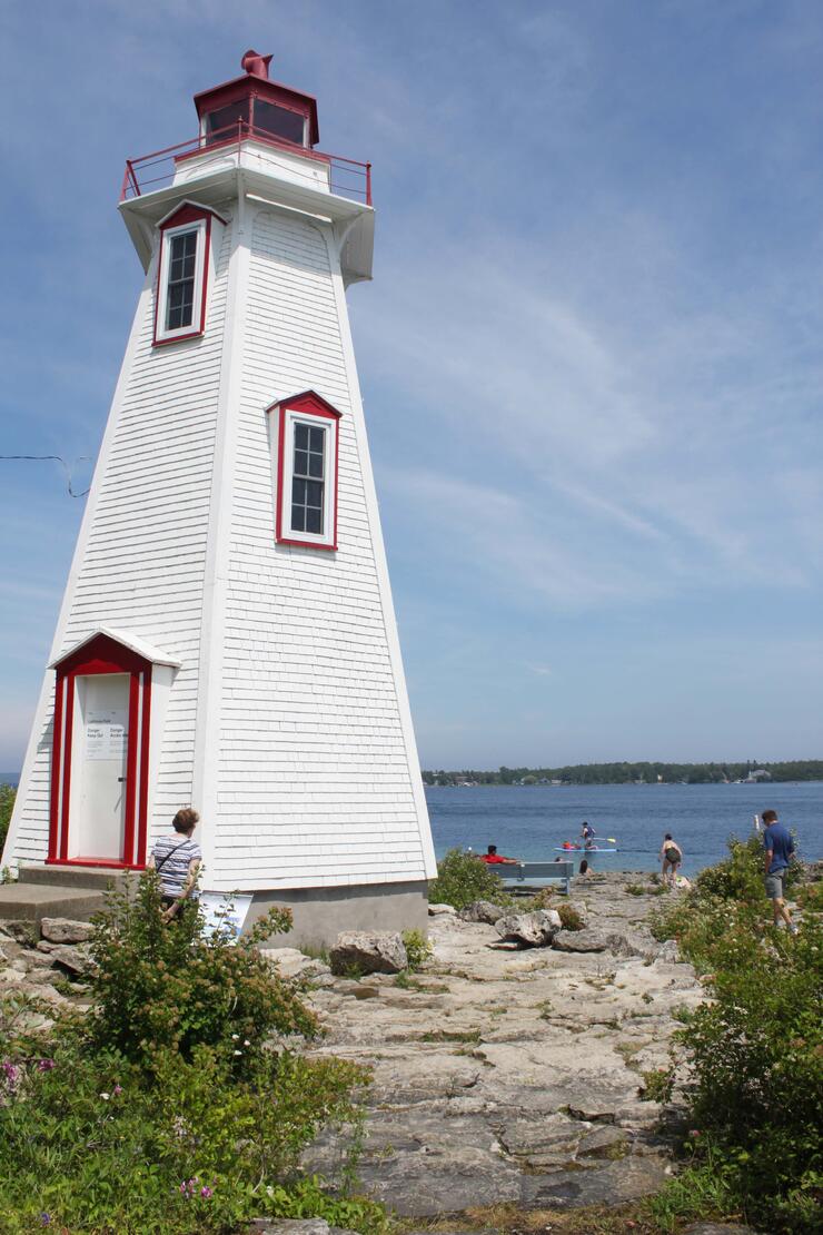
It is now past lunchtime so we head across to the quick route, Bruce 6, the main artery to Big Tub and Little Tub, the two natural harbours at Tobermory. From Lions Head to Tobermory the temperature drops from 77° F to 70° F. The cold waters of Georgian Bay have a dramatic effect on the weather on this peninsula. With its crystal-clear, pristine waters, this part of Georgian Bay is the best fresh water scuba diving location in the world. Fathom Five National Marine Park, attracts divers from around the world to this underwater paradise and was created to conserve its unique underwater ecosystem and to display its 22 underwater shipwrecks, and its lighthouses.
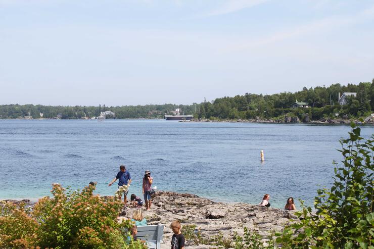
Following Big Tub Road around the harbour we stop at the Big Tub Harbour Resort and the Bootlegger Cove Pub for lunch. The sweet potato fries are "to die for" and the location, overlooking Big Tub Harbour, is of picture post card quality. Below us, sailboats slip quietly through the still waters passing by wooden docks and cottages partially hidden amid the greenery on the steep rocky hillside.
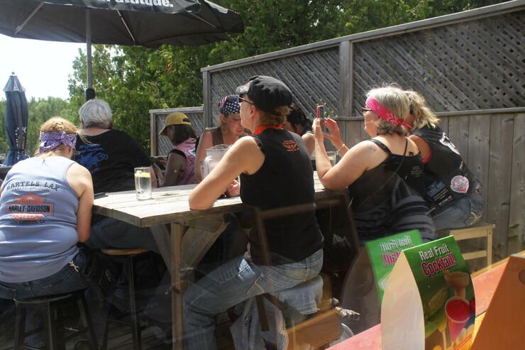
A dozen very happy lady bikers from the club "Livin’ R Dream" are here from Michigan enjoying their lunch and the unmatchable environs of Big Tub Bay.
To the Beach
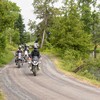
Winding through the back streets of beautiful Tobermory we find it to be very busy with tourists wandering from shop to shop, so we top up with gas and head out of town. Bruce 6 goes straight south to Clarkes Road where a right turn takes us straight across to Clarkes Corners. Stokes Bay Road heads pretty much straight south past Old Woman's River and it changes names along the way to West Road then Shaw Road. These are not great twisty crotch rocketing roads but the scenery is unique and so very different from southern Ontario. Small bits of fertile land shows crops of corn and hay interspersed here and there with scrub land in between.
A right turns us onto Sutter Road which runs west over to Sunset Drive. The name describes the scene at every day's end. I am sure must be a joyful experience to live here and observe, as each evening, the sun dips below the horizon to its watery grave. Every corner here is followed by another new vista fit for an artist's canvas. However, all good things have an end, or are followed by another chapter. And in this case Huron Road takes us to Oliphant and then onto Sauble Falls Road to Sauble Falls.
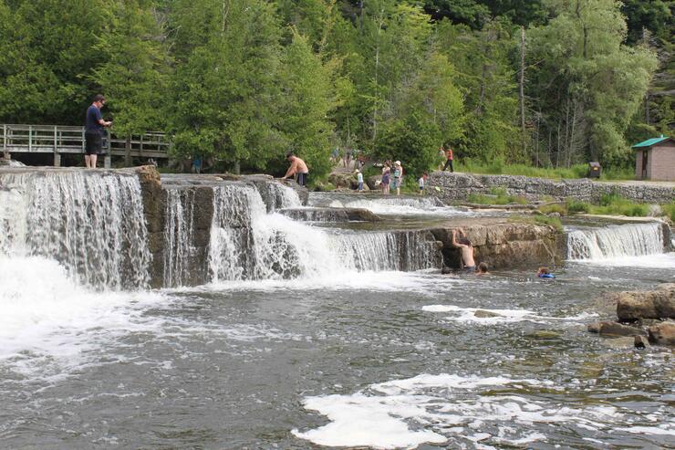
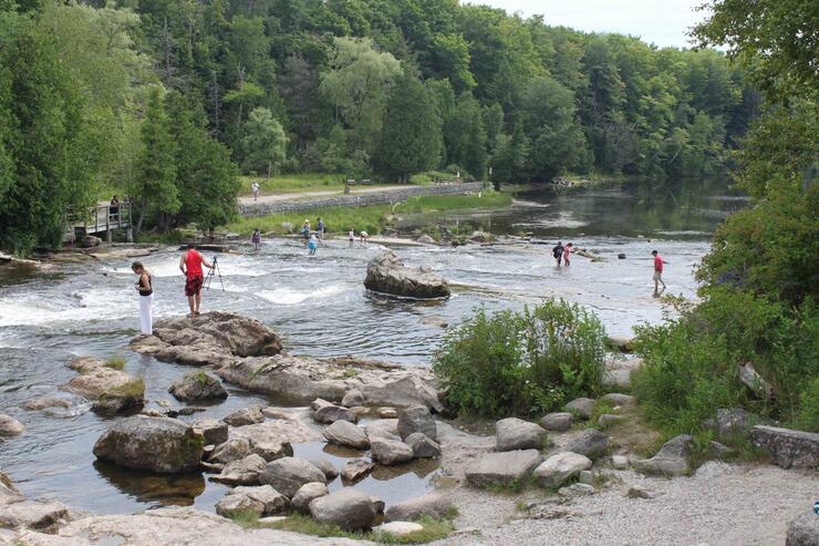
Some waterfalls are wild and dangerous and are only for photographing, but Sauble Falls is pure joy for kids to play in and on and slide over. Layers of flat limestone slabs have been formed into a crescent shape creating a labyrinth of layers with water cascading over each steppe, combining to create a giant watery playground. Dozens of kids and parents are out on the ledges enjoying another of nature's gifts and at the lower end of the falls, fishermen try their luck in the hopes of landing a record Walleye, Pike, Rainbow Trout, Chinook Salmon or maybe even a Musky.
As we make our way back to the bike we wish we could stay longer and have a swim. It is now above 80° F and we are feeling the heat so we need to get moving. Just up the road Sauble Falls Parkway exits onto Sauble Falls Road and then becomes Lakeshore Boulevard. Casting glances to my right through breaks in the sand dunes I can see thousands of sun worshippers on the beach.
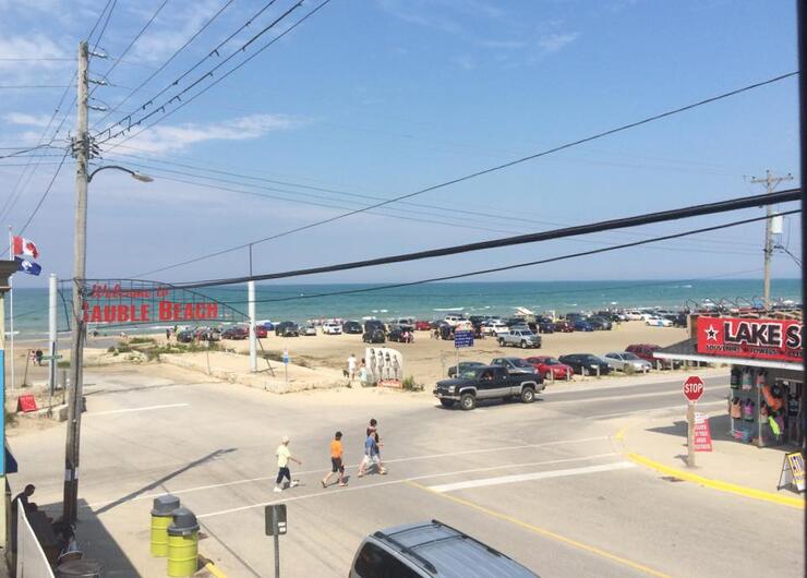
The renowned Sauble Beach was voted the best beach in Ontario and is the crown jewel of Bruce County. At over 11 kilometres long, Sauble Beach is the longest freshwater beach in the world, another unique feature Bruce County is world famous for. Many years ago, this beach was a popular place for motorcycle races.
After such a big meal at Tobermory we are not very hungry so we stop at Timmy's in Port Elgin for something light and then take a last sunset ride along Huron Drive. We arrive at the harbour at the Saugeen River just in time to watch our last sunset in Bruce County and it seems as if the spirit of the County wants us to come back.
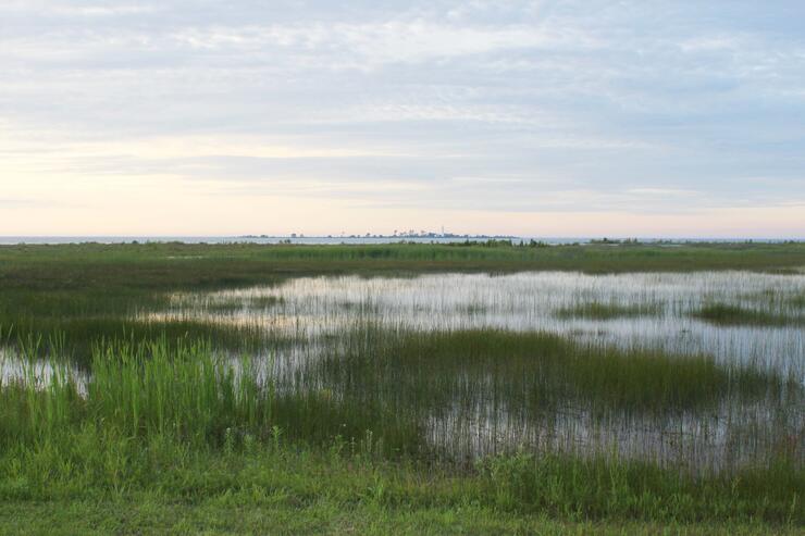
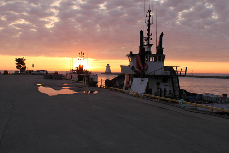
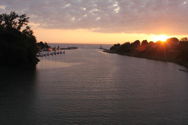
The sunset is spectacular and we watch until the last vestige of a glimmer drops below the watery horizon and it is done. Tomorrow it is back to reality, but for a couple of wonderful days we have enjoyed a bit of heaven here in "The Bruce".
Want to have an motorcycle adventure of your own in the Bruce? Click here to get started!
Recommended Articles

Bucket List Motorcycling in Ontario, Canada 2026

Ontario's Best Twisties: Five Roads to Get Your Lean On

The Big Belly Tour—A Complete List of Ontario's BBQ Joints

It's Bike Night in Ontario 2024

Ontario's Top Twisties

Have You Ridden Canada's OG Highway? Here's Why Every Rider Needs to Hit Up Historic Highway 2

23 Amazing Photos That Prove PD13 Is Still The Best Motorcycle Event Ever

Motorcycle Swap Meets in Ontario—The Complete List for 2025

And a Vespa shall lead them all...

