The Best Canoe Routes in Northeastern Ontario: From First Timers to the Bucket List
Northeastern Ontario is home to some of Canada's best canoe routes. From Killarney's turquoise lakes and Temagami's old-growth wilderness to a remote Moose River run toward James Bay, these routes span the French, Mattawa, and Spanish Rivers across every skill level.
By Cassie Pellerin
Born and raised in the heart of Ontario, Cassie Pellerin’s roots run deep in the province’s wild
backcountry—where she’s most often found in a canoe with a camera in hand.
June 15, 2026
From short day trips to multi-day backcountry expeditions, Northeastern Ontario is home to some of the most diverse canoe country in Canada. Routes wind through old-growth pine forests, past waterfalls, across clear Shield lakes, and out toward open water. Some begin at roadside launches on the Mattawa or French Rivers. Others start with a train ride into the backcountry of Temagami or the far north. Along the way, paddlers follow old voyageur routes, run moving water on the Spanish River, and camp in some of the most remote landscapes in Ontario.
This is one of Ontario’s great canoe-tripping regions. Whether you’re planning your first overnighter or a longer backcountry route, these trips highlight what paddling in Northeastern Ontario is all about.
Early morning portage into David Lake in Killarney Provincial Park (left). Views from the summit of Silver Peak (right). Photos: Cassie Pellerin
David Lake Route, Killarney Provincial Park
Route at a Glance:
Best for: Beginner and intermediate paddlers looking for an easygoing backcountry canoe route with a rewarding day hike
Duration: 3–4 days
Distance: 25 km
Portages: 4
Access Point: Johnnie Lake, Killarney
Permits: Backcountry camping permits required through Ontario Parks for Killarney Provincial Park
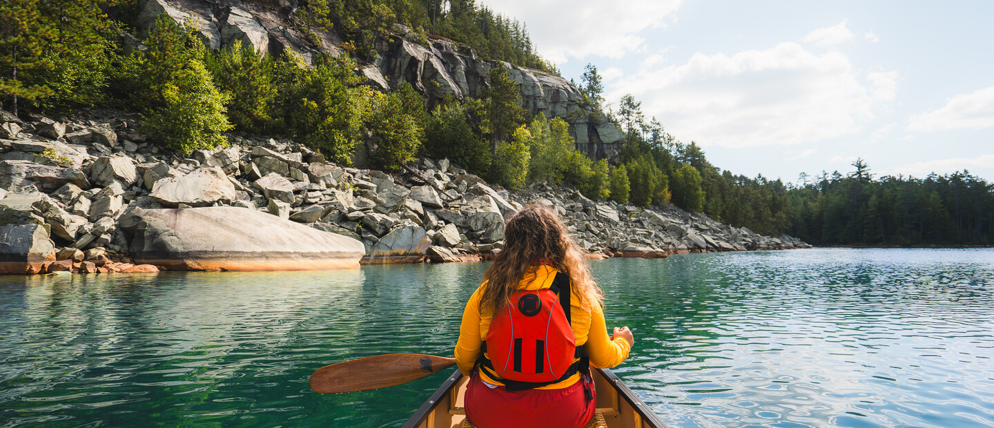
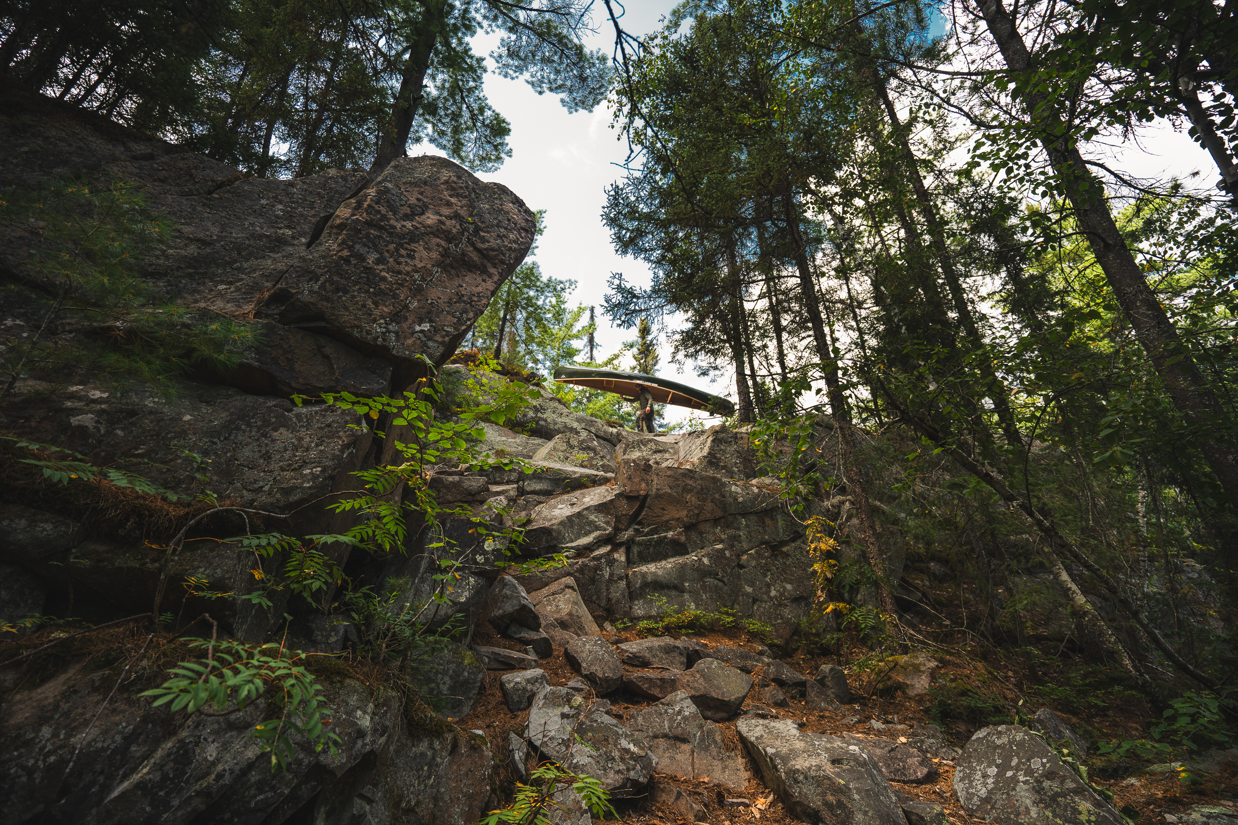
If there’s one canoe trip in Northeastern Ontario that belongs on every paddler’s bucket list, this is it. Killarney Provincial Park’s David Lake route packs most of the park’s iconic scenery in a single long weekend trip. Launch from the Johnnie Lake access point and paddle through Clearsilver Lake toward David Lake, linked by just two short portages, each under one kilometre.
Along the route, Clearsilver Lake offers a taste of the unreal turquoise waters that make paddlers question whether they’re still in Ontario. By David Lake, you can catch glimpses of the white quartzite ridges that Killarney is famous for, including the tallest point in the park, towering over the lake below. After an afternoon of paddling, David Lake is the perfect place to set up camp and rest before heading for the summit of Silver Peak the next day.
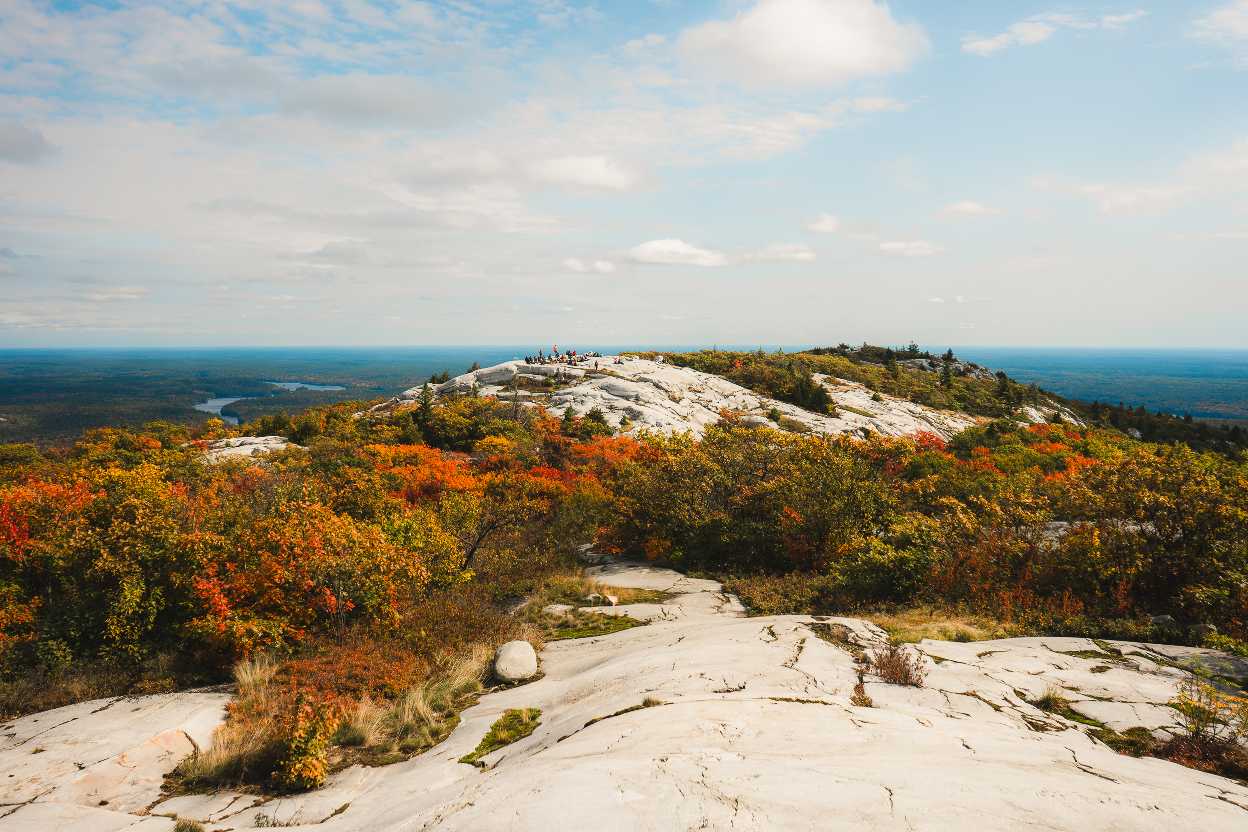
Be sure to add an extra night at David Lake to your itinerary so you can set aside a full day for the Silver Peak hike. The trail is roughly 10 km round trip, so pack day bags with plenty of water and snacks. From David Lake, paddle to the trailhead at the portage into Boundary Lake and connect to the La Cloche Silhouette Trail as it winds across rugged granite ridgelines on the way to the highest point in Killarney Provincial Park. The hike is a challenge, but the reward is one of the most impressive views in Ontario. On a clear day, you can even see the Sudbury skyline in the distance.
To complete the route, retrace your steps back through Clearsilver Lake and Johnnie Lake and make your way out toward your access point. Alternatively, you can also cut through David Creek and Bell Lake to change up your return.
This is one of Killarney’s more popular canoe routes, so consider visiting in late September or early October when the summer crowds have thinned and fall colour starts to show in the La Cloche Mountains.
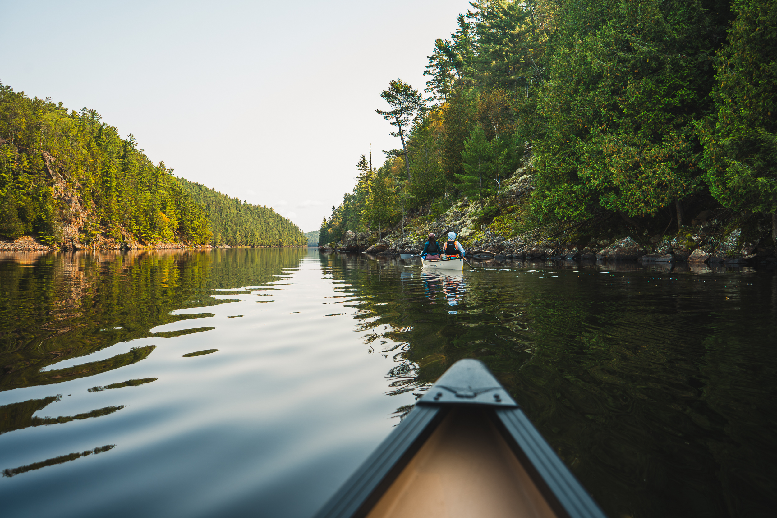
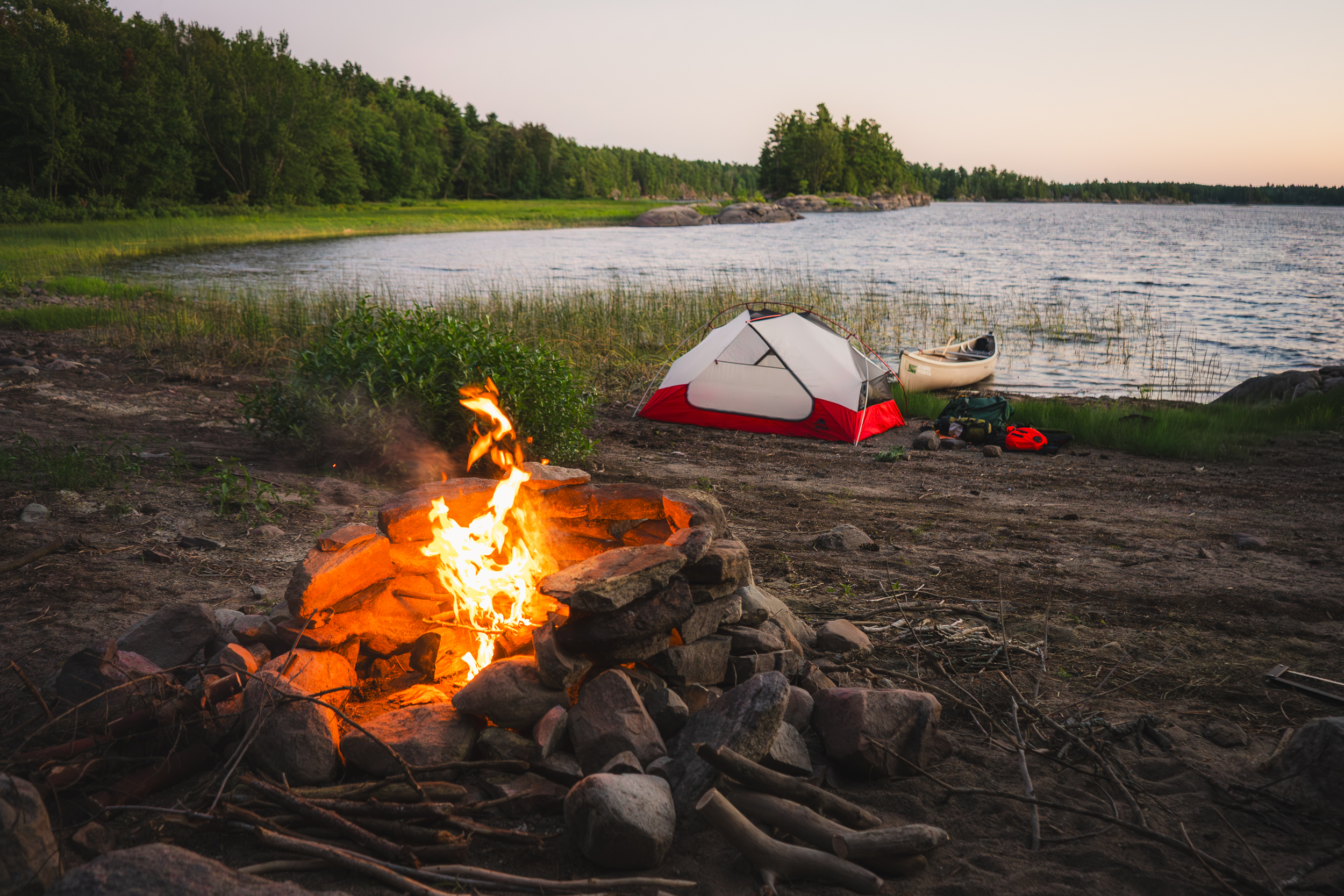
Not every canoe trip needs a week off work and a food barrel full of dehydrated meals. The Mattawa River is a great day trip for first-time paddlers looking to build confidence on the water and get comfortable with portaging, and just as enjoyable for experienced paddlers in search of a relaxed day on the river.
The most popular route runs from Pimisi Bay to Portage Campion in Samuel de Champlain Provincial Park. At roughly 12 kilometres one-way, it’s approachable while still feeling like a real adventure, offering short portages, calm waters and just enough moving water to keep things interesting.
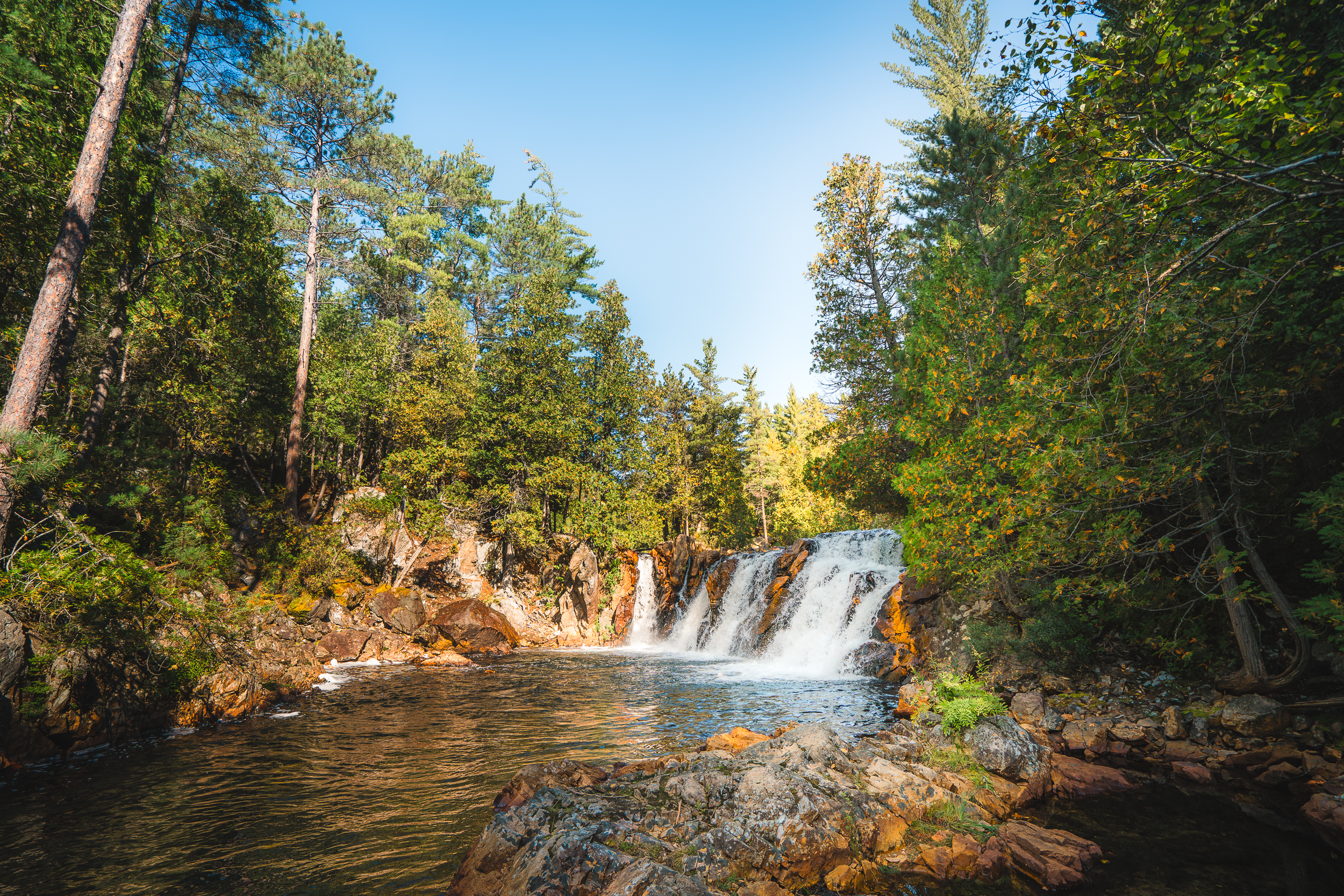
Put in at Pimisi Bay and follow the river east through a landscape of rugged shoreline shaped by centuries of travel. Depending on water levels and your experience, many of the rapids along this route can be paddled through. That said, there are also eight short, well-marked portages if you aren’t comfortable with whitewater just yet. Along the way, stop at Paresseux Falls and keep an eye out for Hell’s Gate, a cave voyageurs once believed housed a demon. Continue paddling until you reach Portage Campion to complete your route.
A favourite way to experience the river is the “Figure 8” loop, a 36-kilometre route that moves through narrow channels and wide river sections before opening up toward Georgian Bay. The route is suitable for a relaxed multi-day trip, with plenty of opportunities to explore the river’s sheltered inland waterways and the rugged, open coast.
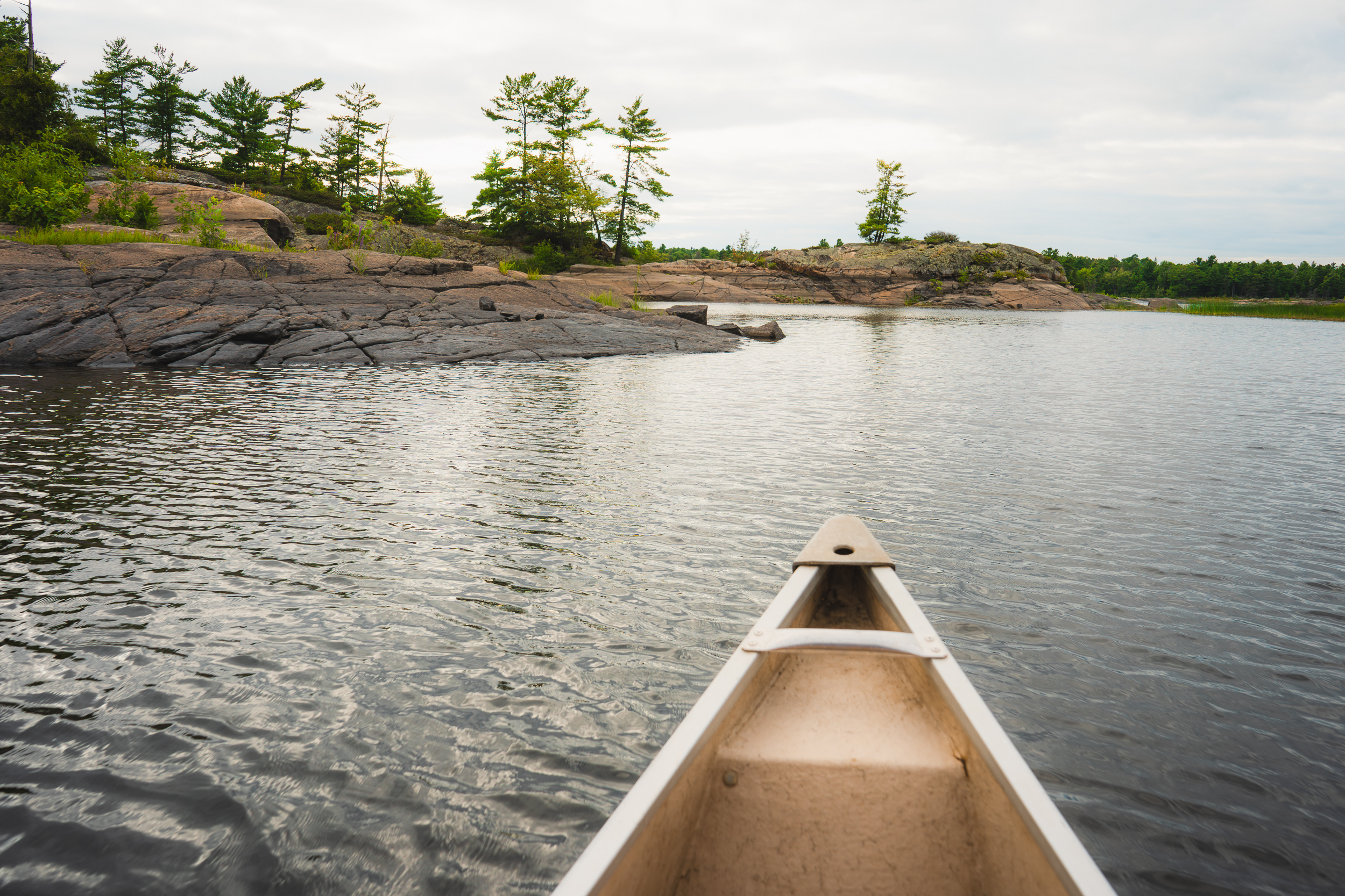
Starting at Hartley Bay Marina, head south through Wanapeiti Bay and down Canoe Channel before turning west towards Main Channel. You’ll pass old logging relics, including the remains of “Alligator” boats once used to haul massive log booms, remnants of the old French River settlement, and even a lighthouse dating back to 1875. Long before that, this river served as a major transportation route for Indigenous communities, voyageurs, missionaries, and fur traders moving between Lake Nipissing and Georgian Bay.
As the route approaches Georgian Bay, the landscape begins to open up into rugged shoreline, exposed rock, and big open water that feels very different from the inland river system. After reaching the coastline, head back north through the Eastern Outlet, completing your “Figure 8” upon your return to the access point.
French River Provincial Park is a popular destination for paddlers. During peak summer weekends, an early start and being open to little flexibility in your itinerary can go a long way.
While You’re There
No French River trip feels complete without a stop at the French River Trading Post just north of the Highway 69 bridge. Part roadside landmark, part souvenir stop, it’s become an unofficial tradition for paddlers to stop in while heading to or from the river. Pop in for homemade fudge, Indigenous-made crafts or a home cooked meal from The Hungry Bear restaurant.
Brilliant blue waters and rugged quartz shores of Wolf Lake (left). Paradise Lagoon swimming hole and waterfalls (right). Photos: Cassie Pellerin
Wolf Lake Forest Reserve Route, Temagami
Route at a Glance:
Best for: An easy backcountry weekend getaway off the beaten path
Permits: No permits required, but check current regulations before departure and camp on designated sites only
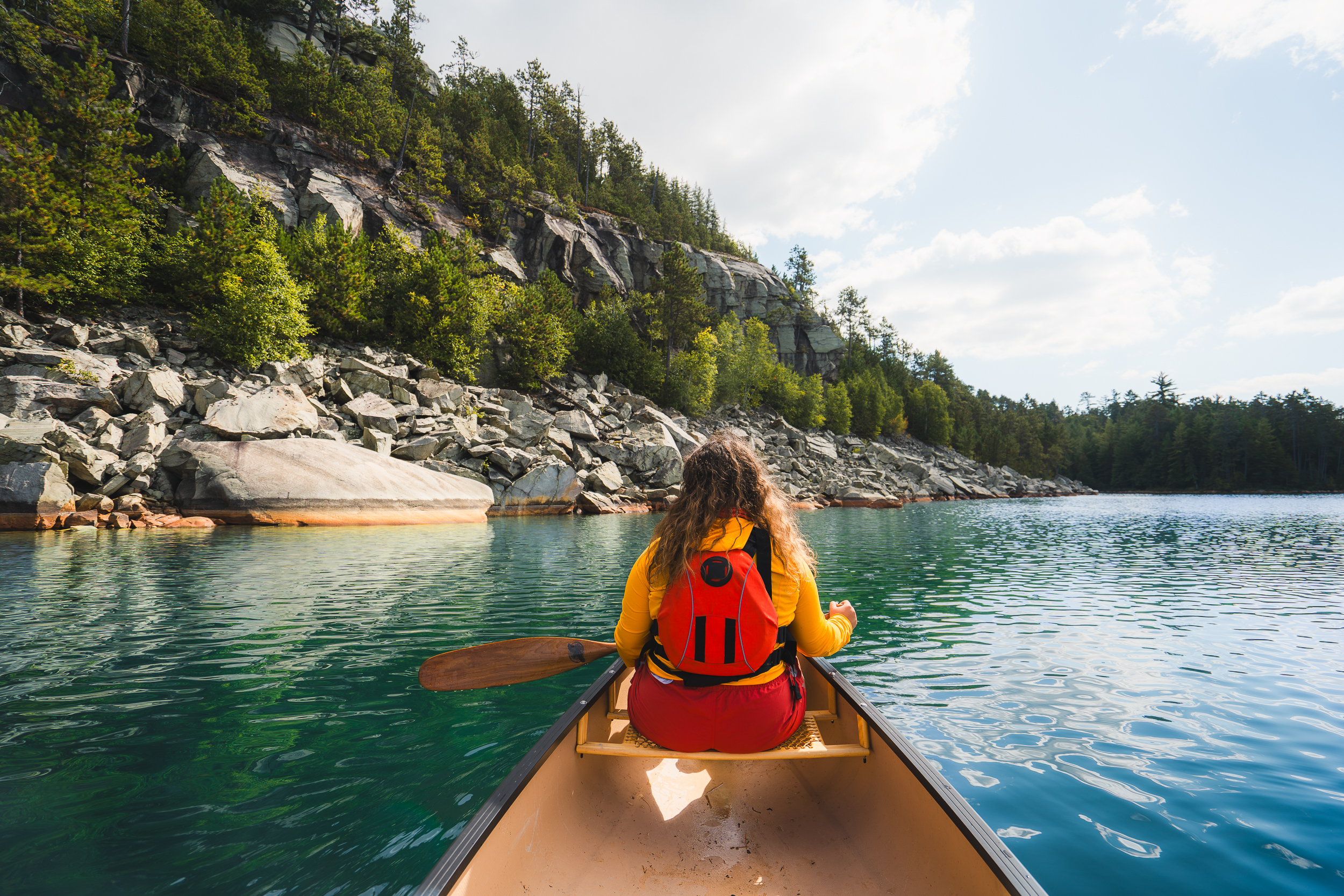
If you're looking to escape the crowds without sacrificing scenery, Wolf Lake is a perfect canoe trip for a weekend getaway. Tucked into the Temagami region, this short backcountry route delivers towering old-growth pines, quartzite cliffs, and rugged Canadian Shield landscapes.
Launch from the southern end of Matagamasi Lake, part of the Chinicguchi Waterway non-operating Provincial Park, and paddle east through the left channel toward Wolf Lake. With just two portages, the route is approachable while still feeling like a true backcountry escape.
Along the second portage, drop your gear at the end of the trail and walk back to Paradise Lagoon. Hidden just off the trail, this swimming hole and waterfall are easy to miss, but the perfect place to cool off on a hot summer day.
Once you reach Wolf Lake, it’s easy to understand why it has earned the nickname “Little Killarney.” The lake is framed by white quartzite ridges and clear water, with campsites tucked along the shoreline that to settle in and take in the view.
Part of what makes this place so special is its history. Wolf Lake is home to the world’s largest known contiguous ancient red pine forest, with trees that are hundreds of years old. These giants still line the shoreline, rising above campsites and rocky points around the lake, and their rarity has made Wolf Lake the focus of conservation efforts for decades.
While You’re There
Add an extra night to your trip at Sportsman’s Lodge Wilderness Resort, just up the road from the put-in, where you can keep the adventure going with excellent fishing opportunities, hundreds of kilometres of ATV trails and plenty more outdoor fun.
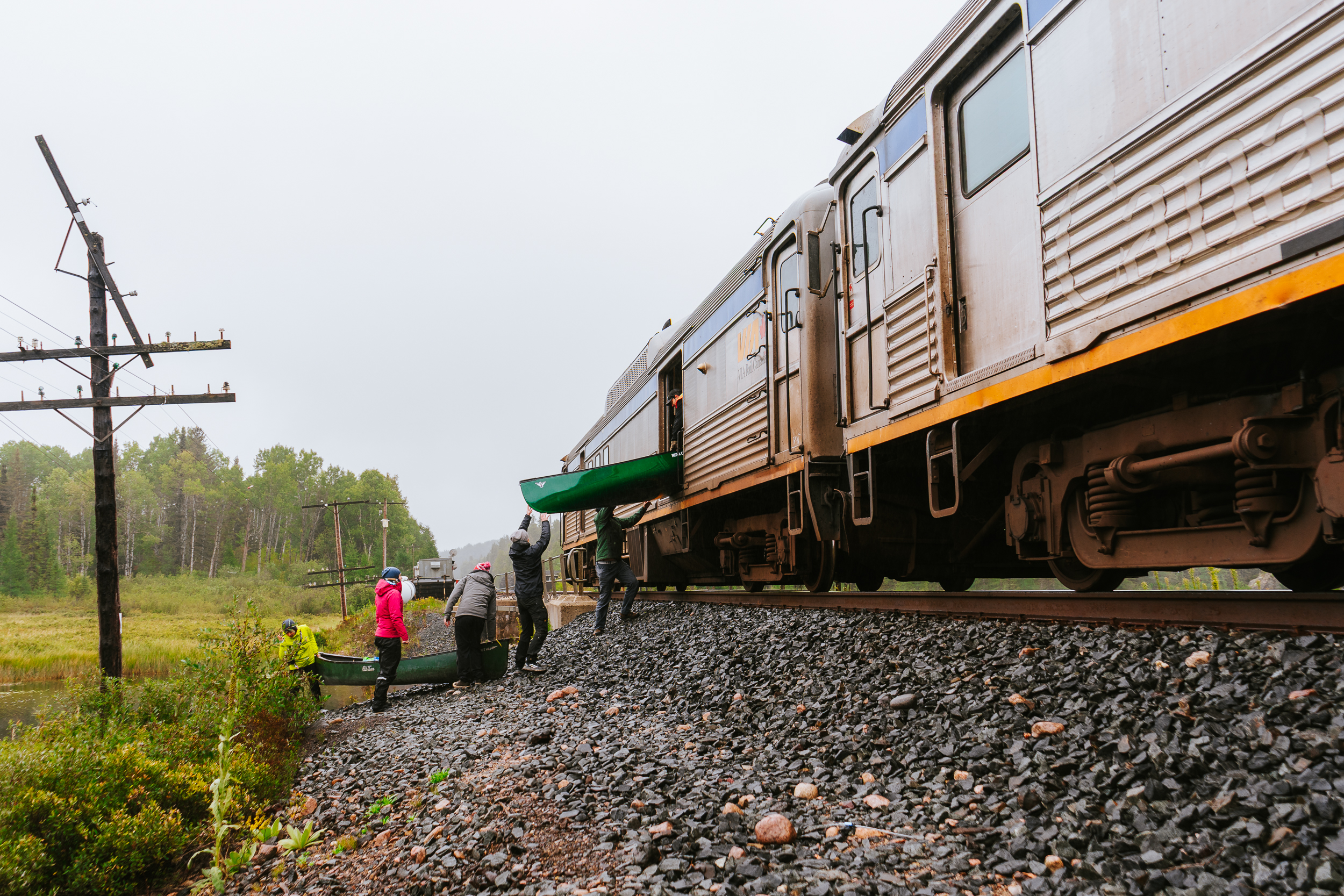
Budd Car drop-off at Sinker Creek on the East Branch of the Spanish River (left). Towering canyon walls at Cliff Rapids (right). Photos: Cassie Pellerin
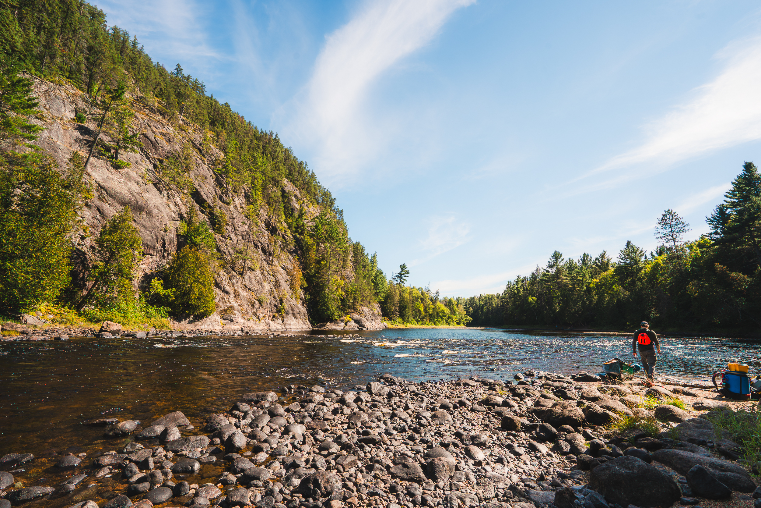
East Branch Route, Spanish River Provincial Park
Route at a Glance:
Best for: Intermediate paddlers looking to try whitewater canoe tripping
The Spanish River is one of Northeastern Ontario’s great introductory whitewater canoe trips. Agnew Lake Lodge, located at the end of the river, is a great place to start your trip and leave your car for the week. Use their shuttle service to be driven to the Sudbury train station, where you’ll board VIA Rail’s Sudbury-White River train, more affectionately known as the Budd Car. With your canoe and gear on board, your station stop and put-in is simply a river crossing alongside the train tracks.
Following the East Branch from Sinker Creek to Agnew Lake Lodge, many of the rapids are manageable Class I and II, and major features can be scouted or portaged, giving groups flexibility to choose their own pace and challenge level.
For the rest of the river, you can expect kilometres of fast-moving swifts, approachable rapids, and enough variety to keep every day feeling different. One day you’ll be paddling through a rocky canyon at Cliff Rapids, and the next the shoreline opens into vast stretches of boreal forest. Campsites are scattered along the length of the river, available on a first-come, first-served basis. Aside from the occasional train crossing or distant whistle, it’s just you and the river. Agnew Lake marks the end of your route, where you’ll paddle back to where you left your vehicle.
Water levels can change the character of the trip significantly. Choose to paddle this route in spring for bigger water or fall for gentler conditions.
While You’re There
Finish your trip in comfort with a lakefront cabin stay at Agnew Lake Lodge for one final night on the water, complete with a real mattress after a week of sleeping on inflatable sleeping pads. Or, ease back into civilization with a stop in Espanola for a well-earned meal at one of the local restaurants before heading home.
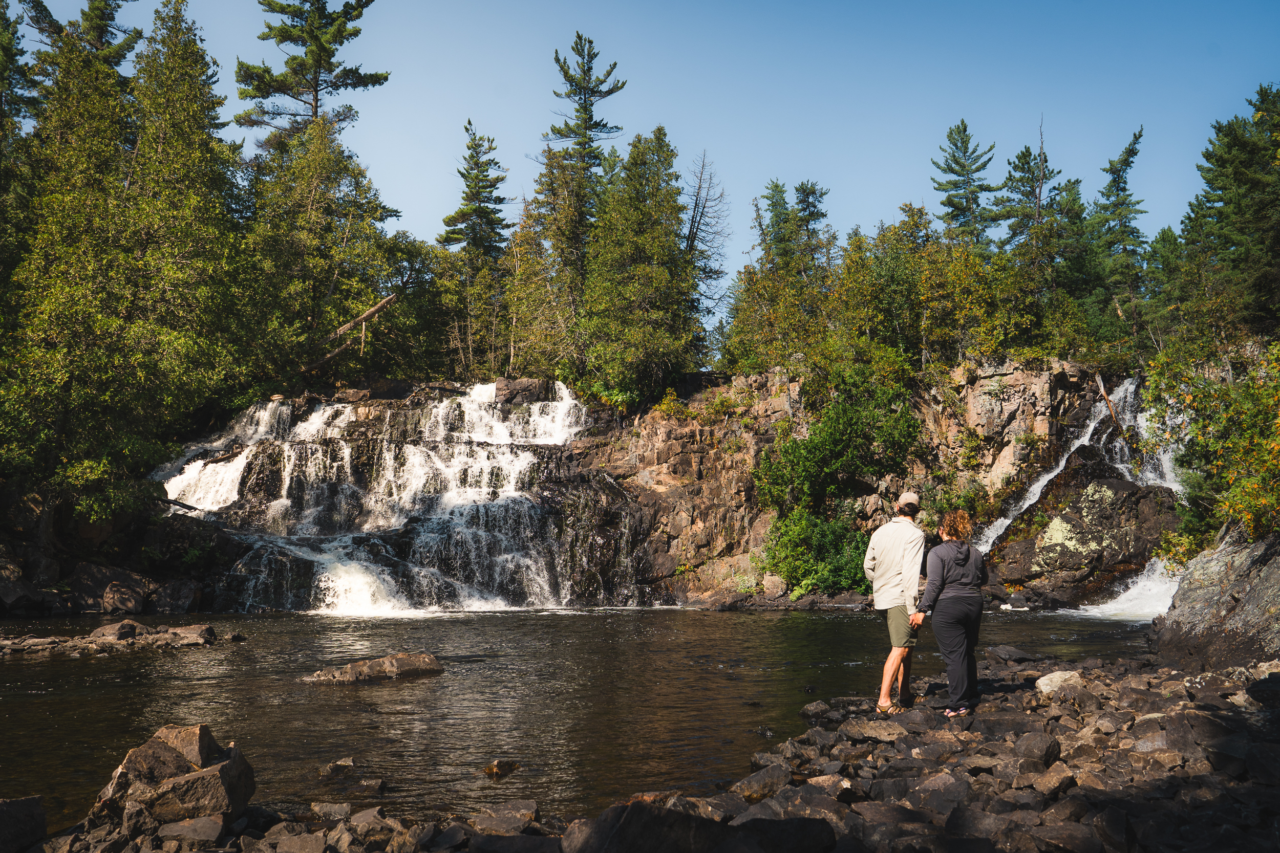
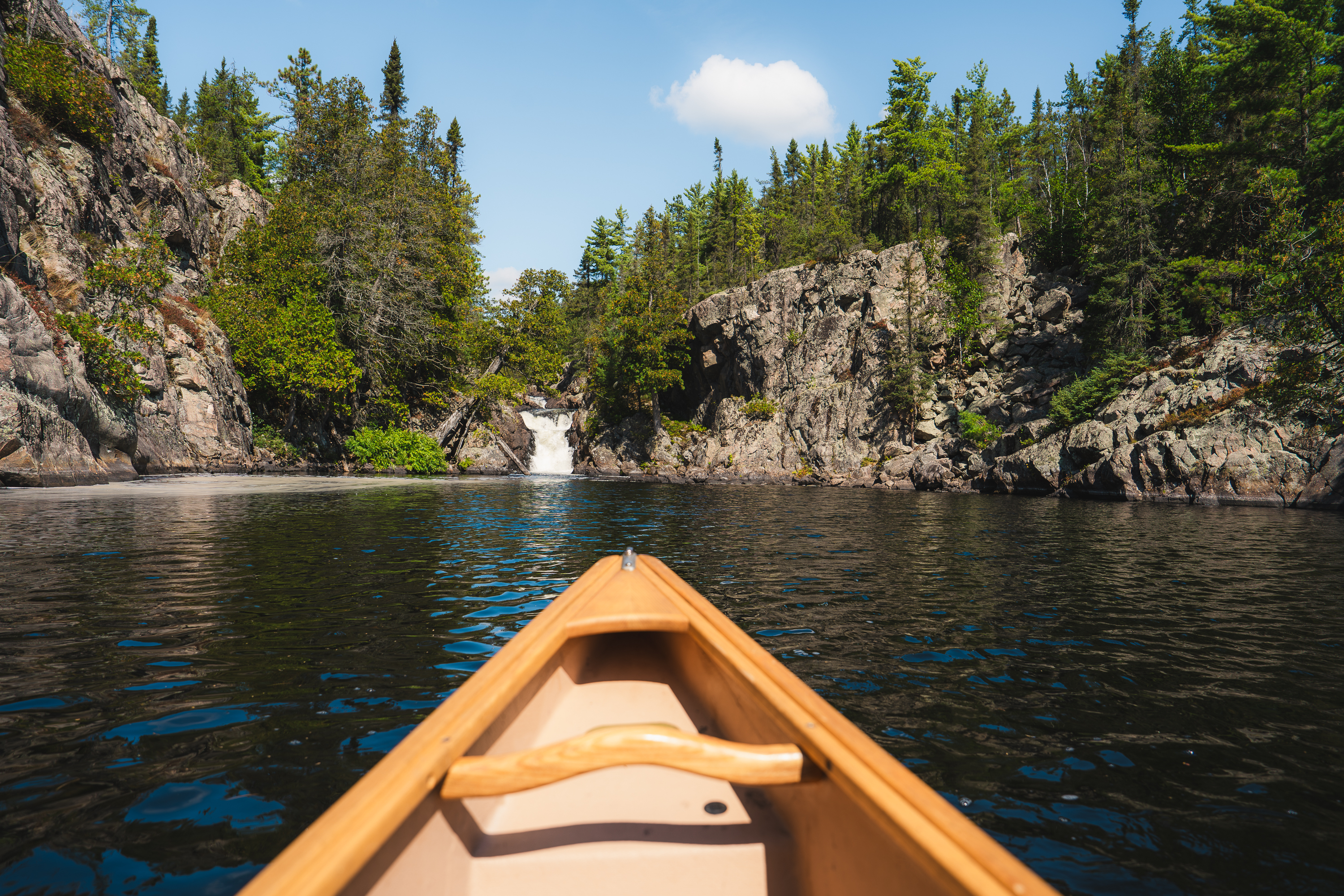
Stunning twin waterfalls at Bridal Veil Falls along the Lady Evelyn River (left), the grueling portage to the right of Fat Man Falls on the Lady Evelyn River (middle), the infamous “Golden Staircase” portage around Centre Falls (right). Photos: Cassie Pellerin
Lady Evelyn River Circuit, Temagami
Route at a Glance:
Best for: Experienced paddlers looking for a challenging river trip with steep portages and rewarding scenery
If your favourite canoe trips are the ones that leave your shoulders sore and your camera roll full, then the Lady Evelyn River belongs on your bucket list.
Deep in Temagami's maze of lakes and rivers, this rugged loop is one of Temagami's classic canoe routes. It's known for difficult portages, exciting river travel, and some of the most spectacular waterfalls in Northeastern Ontario.
Put-in at Mowat Landing and paddle across Lady Evelyn Lake toward Sucker Gut Lake and the start of the Lady Evelyn River's North Branch. From here, the challenge really begins. Heading upstream, the portage at Frank Falls marks the first of several carries around waterfalls and rapids. Next comes Centre Falls with its infamous “Golden Staircase,” followed by several more short but steep portages around stunning waterfalls and rapids.
When you reach Katherine Lake, cross over to the South Branch and begin the paddle downstream. The current starts working in your favour on this leg, but the hard work is far from over. You’ll face several more challenging portages around waterfalls and pass the wildly unique and remote Cabin Falls Ecolodge, accessible only by canoe or floatplane. One of the route’s best campsites sits above Bridal Veil Falls, and it’s well worth organizing your trip around an overnight stay there. From there, continue through the final stretch of the river before looping back through Willow Island Lake and Lady Evelyn Lake to return to Mowat Landing.
This is not a beginner-friendly paddle. Previous moving water experience, strong route planning skills, and comfort with difficult portaging are essential. For experienced canoe trippers, though, there are few routes in Northeastern Ontario that feel this rewarding.
While You’re There
Before or after the trip, spend some time exploring the Temagami area, Ontario’s paddler’s paradise. Climb the historic Temagami Fire Tower for sweeping views of the vast forests and interconnected lakes and rivers. For rentals, route planning, shuttle support, and local expertise, Smoothwater Outfitters & Lodge is a trusted starting point for any Temagami trip.
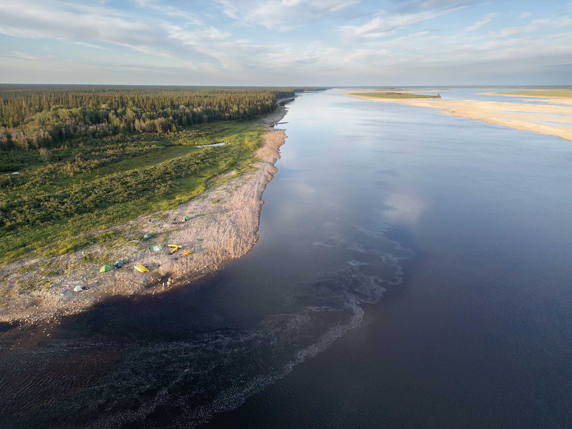
Aerial of the Moose River shoreline campsites. Photo: Colin Field
Moose River Route
Route at a Glance:
Best for: Intermediate paddlers looking for a big river trip through remote northern landscapes
Distance: 70 km
Duration: 3–4 days
Portages: None
Access Point: Moose River Crossing (access via Ontario Northland's Polar Bear Express)
Permits: No permits required, but check current regulations before departure
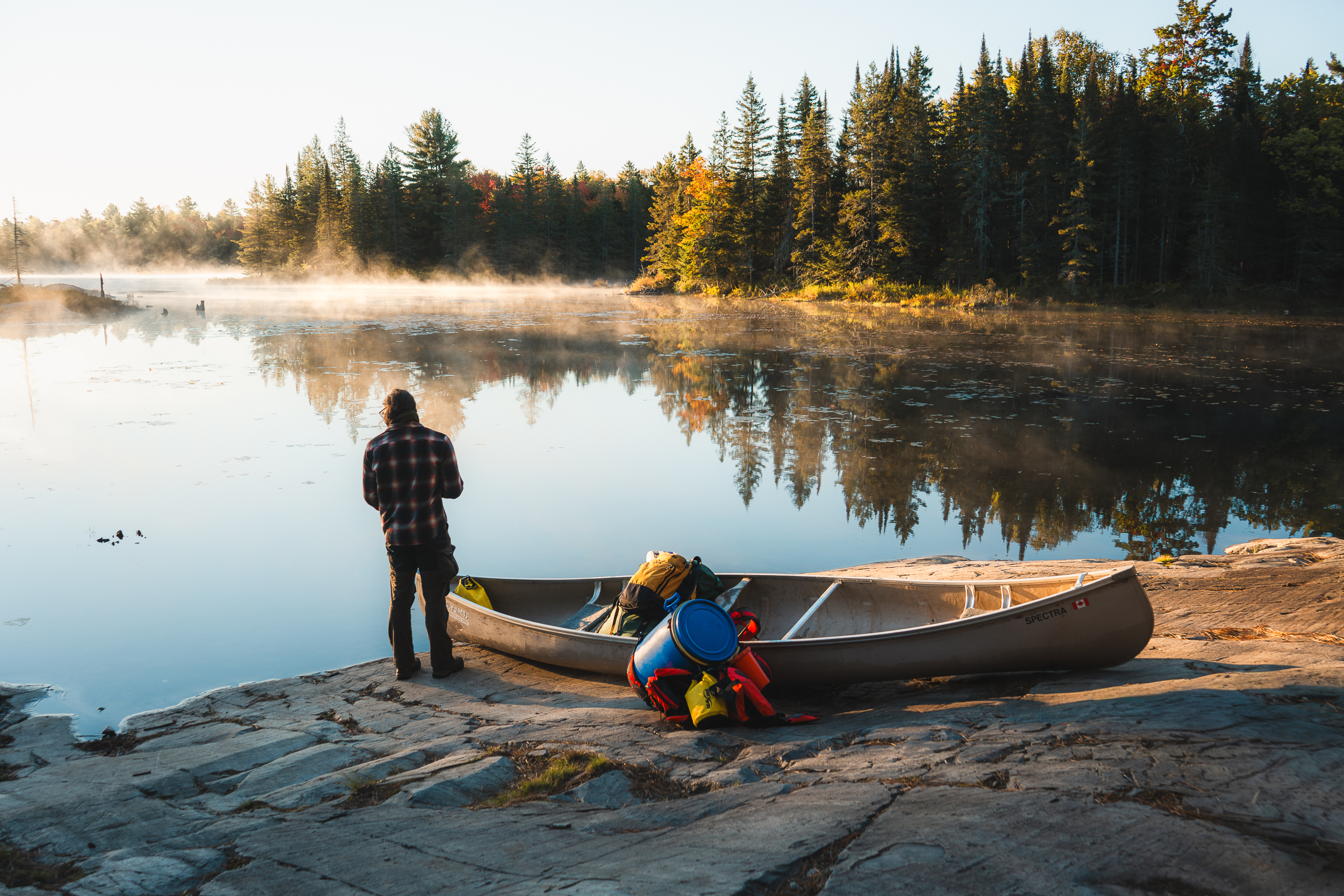
There are few canoe trips in Ontario that feel farther from everyday life than the Moose River. With big water paddling and open sky, this river offers the feeling that you’ve slipped into Canada’s far north, but can still be back home before the week is over.
The trip begins aboard the Polar Bear Express from Cochrane. Paddlers head north by train before stepping off at Moose River Crossing, a remote stop where the railway meets the river. From there, the route follows the Moose River downstream toward Moosonee and Moose Factory, running one of the largest river systems in the province as it makes its way toward James Bay.
The current is generally gentle, with long stretches of easy paddling, shallow shorelines, and wide sandbars. Days are spent drifting downstream and watching the landscape slowly open as you get closer to the coast. The only significant rapids are Kwetabohigan Rapids, which range from Class I to Class III, depending on the current water levels. However, they can usually be avoided by staying river left.
This is still the far north of Ontario, however, where conditions can change quickly and should not be underestimated. Strong winds can build fast and water levels near Moosonee are influenced by tides. Campsites along the shoreline can also be exposed depending on conditions, so flexibility is important in your trip planning.
The route ends in Moosonee, where you can catch the train back to Cochrane.
While You’re There
Before boarding the train north, spend some time exploring Cochrane and its unique attractions, like a visit to the Cochrane Polar Bear Habitat. At the end of your trip, while in Moosonee, consider taking a guided boat tour to James Bay and experience Ontario’s “Gateway to the Arctic” where beluga whales and seals are sometimes spotted near the mouth of the river. If you have time, Tidewater Provincial Park is a must for your bucket list. You can visit as a day trip from Moosonee, but camping on the island is the best way to experience the beauty that this water-access-only backcountry park has to offer.
Born and raised in the heart of Ontario, Cassie Pellerin’s roots run deep in the province’s wild backcountry—where she’s most often found in a canoe with a camera in hand. A storyteller at heart, she’s drawn to tales of adventure and the never-ending fireside story.