Complete Guide to Backpacking in Pukaskwa National Park
From June 20 to September 2, 2025, you can enjoy free admission to national parks, national historic sites and national marine conservation areas operated by Parks Canada, as well as a 25% discount on fees for camping and roofed accommodations. Learn more here.
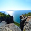
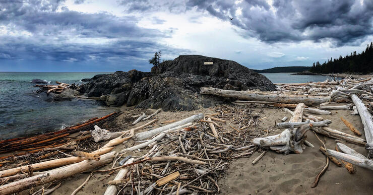
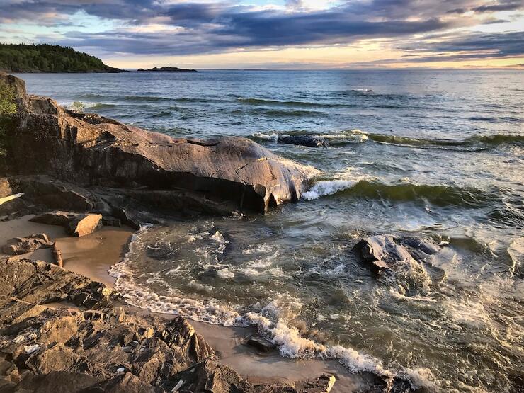
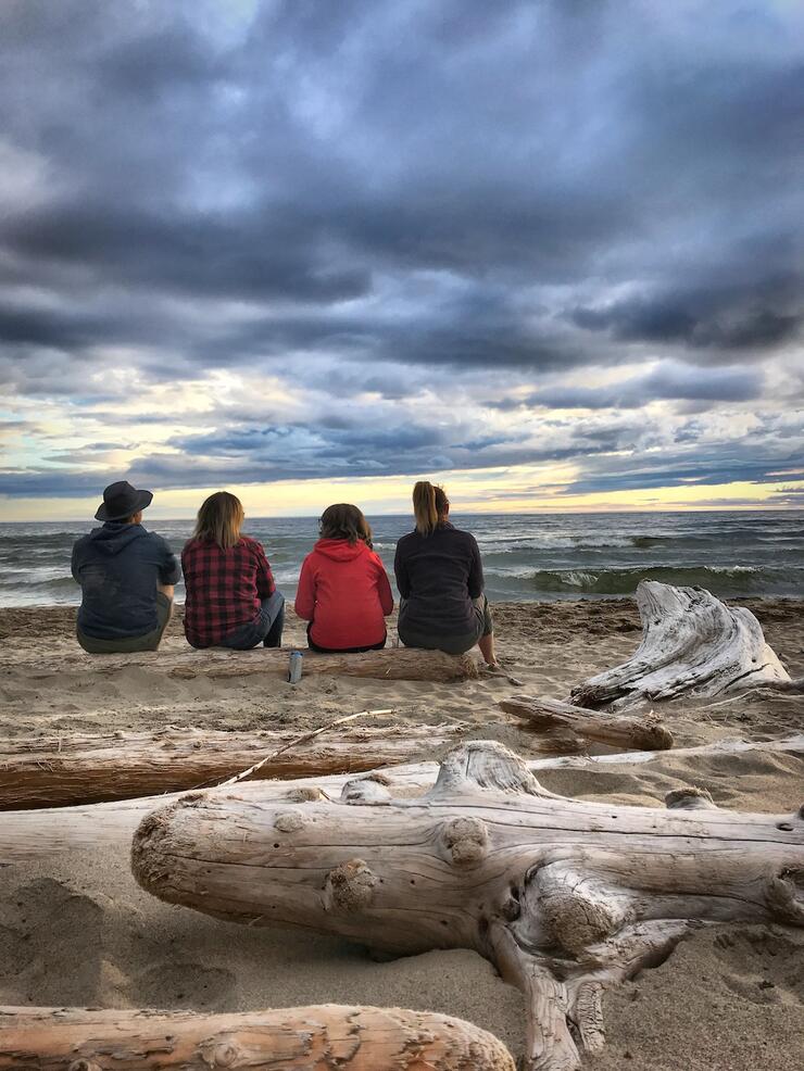
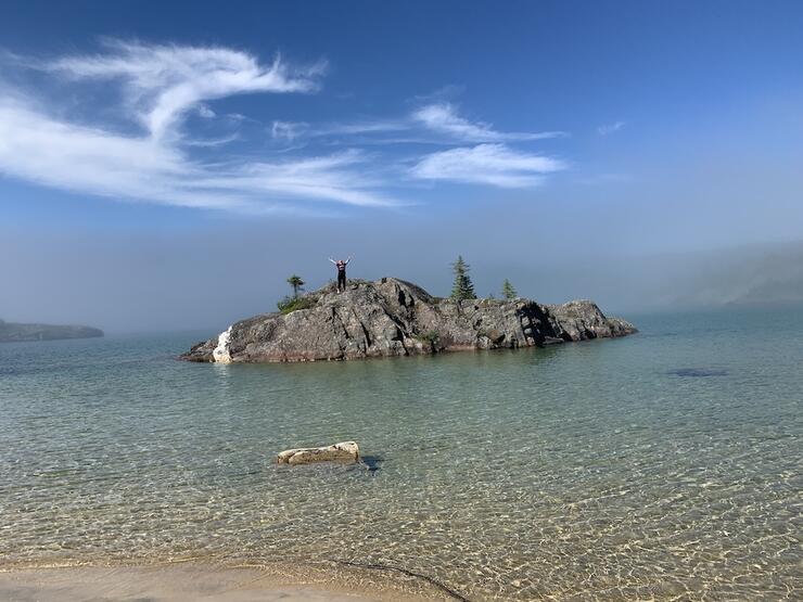
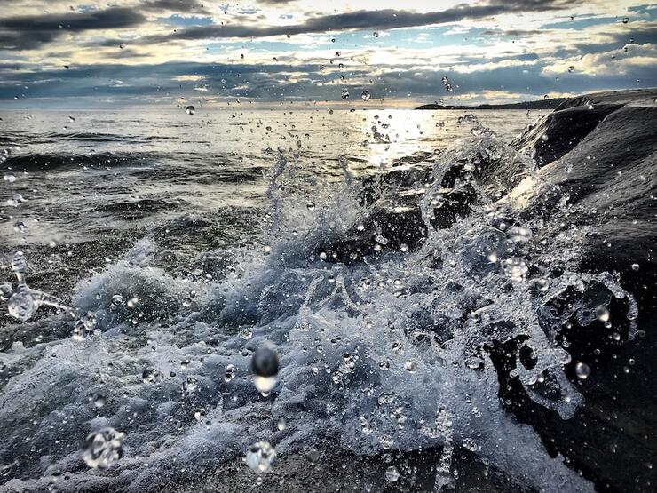
Few backpacking trails in Canada compare to the Coastal Trail in Pukaskwa National Park. This rugged gem is located deep in the wilderness of Northern Ontario, tracing the spectacular Lake Superior coastline of the province’s largest national park. The scenery truly compares to iconic Canadian hikes like B.C.’s West Coast Trail—but with a tiny fraction of the crowds. Lake Superior’s horizons are endless, its storms are dramatic, its brown sugar sand beaches rival the Caribbean, and its stalwart granite cliffs and cobblestone shores are raw and humbling. Simply put, this is Ontario’s best backpacking trail.
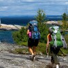
Trekking the entire 60-km Coastal Trail means hiking from the Pukaskwa Visitor Centre at Hattie Cove to the North Swallow River, in the Park’s remote backcountry. It’s best for intermediate to advanced backpackers who are familiar with wilderness conditions, as well as steep ascents and descents and slippery footing. Accessing the southern trailhead (to start or finish your trip) requires a boat shuttle; plan on five to seven days of challenging backpacking. If your experience and fitness are up for it, prepare to be wowed.
A shorter, 25-km option—the Mdaabii Miikna trail—gives novice backpackers a taste of the scenery of the Lake Superior coastline in an easy-to-plan two- to three-day trip that starts and ends at the Park Visitor Centre. Pukaskwa National Park also boasts excellent day hiking for families, day visitors and those who prefer to stay in the peaceful 67-site drive-in campground at Hattie Cove, located off the Trans-Canada Highway, just south of the town of Marathon.
This article will help you prepare for the ultimate adventure of backpacking in Pukaskwa National Park, including sample itineraries, the best campsites, and logistics and reservations.
When is the Best Time to go Backpacking in Pukaskwa?
As with any outdoor adventure, pinpointing the best time for a Pukaskwa backpacking trip can be tricky. Weather and trail conditions in Pukaskwa are dictated by the capricious nature of Lake Superior. Spring is often delayed by a few weeks due to the lake’s cold water, so it’s a good idea to wait until June to start a backpacking trip. Peak season is late July and early August, when biting insects have disappeared and the weather is most stable and moderate, with daytime temperatures averaging 21 degrees Celsius. Late August through the end of September is wonderful for solitude, golden leaves and crisp mornings, however more persistent winds typical at this time of year may delay boat shuttles on Lake Superior.
Sample Itineraries and Great Campsites
Pukaskwa National Park provides an excellent online backcountry hiking trip planner for backpacking in the Park, including sample itineraries, campsites, highlights and details to help with planning your trip, including up-to-date backcountry camping and Park entry fees. Here are a couple of sample trip plans based on our own experience backpacking in Pukaskwa National Park.
Coastal Backpacking Trail
You can’t go wrong hiking northbound or southbound on the Coastal Trail (you can also plan an out-and-back trip, if you’ve got the time and don’t want to miss any details along the way). However, a northbound hike means you’re walking back to your vehicle at Hattie Cove, making for easier logistics. Start by booking a boat shuttle to the trailhead at North Swallow River and making campsite reservations (more on how to do this later). Plan your trip for late May through late September for the best weather—but be prepared for onslaughts of biting insects in June and July. Here’s an itinerary for a weeklong trip:
Day 1
Arrive at North Swallow River by boat shuttle, which takes two to three hours. North Swallow features excellent campsites set just back from an impressive Lake Superior beach overlooking The Ramparts, a 2-km section of polished granite cliffs. Spend the day beachcombing, enjoying the view and easing into your backcountry camping regime. The sunsets here are sublime.
Day 2
The trail from North Swallow River to White Spruce Harbour begins with a rugged ascent of The Ramparts. With an early start—along with plenty of sweat and effort—you’ll arrive at the Hideaway Lake campsite in time for lunch. The trail immediately north of this sheltered cove captures the best of Pukaskwa: inland lakes set in verdant spruce forests, with long views of the Lake Superior coast in the distance. The trail meanders for another 5 km past Simons Harbour to White Spruce Harbour, a veritable “hurricane hole” that has the intimacy of a sheltered inland lake.
Day 3
The day’s journey from White Spruce Harbour to Fisherman’s Cove features a mix of beach walking and inland hills. You’ll start on the shore, following beaches and easy forest paths to White Gravel River. Expect hard work from here, with plenty of ups and downs as the trail skirts inland of the rockbound coastline. The campsites at Fisherman’s Cove are outstanding, with great views, mossy tent sites and crystalline water that’s inviting for a dip.
Day 4
The “fish to fish” section of trail from Fisherman’s Cove to Fish Harbour takes in more glorious scenery, including the immense sand beaches of Oiseau Bay and a distinctly boreal, inland portion of trail to Cave Harbour. Fish Harbour is a magical oasis of sand and clear water, adjacent to a mysterious sea cave that holds great relevance for local Indigenous people.
Day 5
Expect more coastal scenery along the trail from Fish Harbour to Willow River, beginning with views of Morrison Harbour’s island archipelago and a stop at Shot Watch Cove, a haunting nook of sand where Park wardens once uncovered a pocket watch pierced by a bullet hole. The coastline flattens out and hikers face rock-hopping challenges in locations where the trail touches on the boulder shore. Willow River features several peaceful backcountry campsites and warm, tea-coloured water that blends with Superior’s cerulean blue.
Day 6
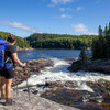
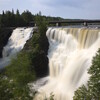
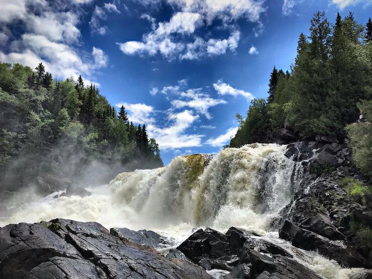
Take your time and slow down—the trip is winding down as you travel from Willow River to Playter Harbour. Have your camera ready for the White River: the trail passes close to several impressive waterfalls and ultimately crosses the river at a suspension bridge, set high over the churning waters of Chigamiwinigum Falls. Set up camp at Playter Harbour, a private waterfront site with a pretty rock shoreline and sheltered tent sites.
Day 7
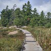
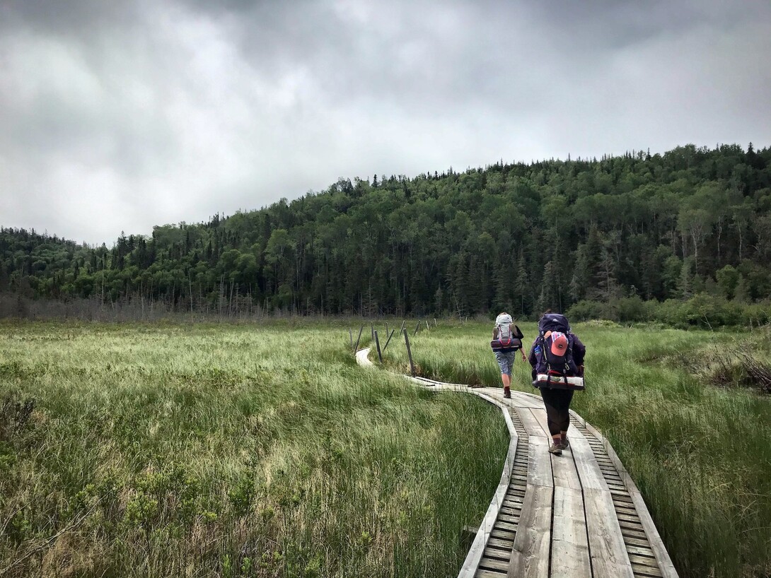
It’s an easy half-day hike from Playter Harbour to Hattie Cove, passing through boreal woods of spruce and birch and tracing an impressive boardwalk section leading to the Pukaskwa National Park Visitor Centre.
Mdaabii Miikna
Do you want a more modest introduction to backpacking in Pukaskwa National Park? Mdaabii Miikna lives up to its Anishinaabemowin namesake of “go to the shore” trail. You can tackle this 25-km trail as an overnight, but a long-weekend trip is far more immersive and relaxing.
Day 1
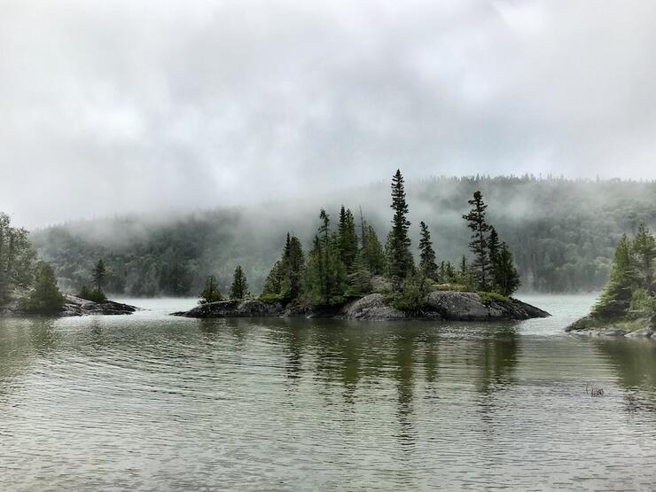
The 10-km hike from Hattie Cove to Picture Rock Harbour (south) follows the Coastal Hiking trail past Playter Harbour before venturing west to the Lake Superior coastline. Picture Rock Harbour features sheltered beaches and bare rock islands, with long views to Pic Island in the distance.
Day 2
Leaving Picture Rock Harbour, make a side trip to the White River to experience the spectacular suspension bridge at Chigamiwinigum Falls. From here, follow an undulating trail to the idyllic campsites at Playter Harbour.
Day 3
Finish your trip by retracing your steps along wetland boardwalks to the Visitor Centre at Hattie Cove.
Boat Shuttles
With 10 to 12 days, you can hike the entire Pukaskwa Coastal Backpacking Trail as an epic 120-km out-and-back expedition. However, most backpackers prefer a one-way trip. To make this happen, you’ll have to book a boat shuttle with Marathon-based North Shore Adventures. The company offers daily boat shuttle services to most campsites along the Coastal Trail, weather permitting. It’s important to build flexibility into your schedule when travelling on and near Lake Superior; wind and wave delays of a day or more are common, especially in August and September.
Backcountry Camping: Services and How to Book
Backcountry camping is permitted in Pukaskwa National Park from May 15 to October 14. Individual campsites can be reserved online or by phone (1-877-RESERVE) with walk-in bookings accepted at the Hattie Cove campground kiosk on a first-come, first-served basis. Online service fees are $11.50 per reservation, modification or cancellation, and call centre fees are $13.50 per reservation, modification or cancellation. Entry and camping fees vary by age class; note that if you’re going out for a week or more you may be able to save money by purchasing an annual pass. Maximum group size for backcountry camping is eight.
Backpacking campsites include a firepit, access to a food locker and access to a privy toilet. All sites have direct access to water (you’ll want to filter, treat or boil it before drinking), and most have enough room for two to four tents. You must register your trip and pick up your camping permits at the Hattie Cove kiosk, where Park staff will provide you with important safety information before you set off.
Staying Safe
Pukaskwa National Park is a wilderness area and the sheer remoteness of its backpacking trails is its greatest hazard. You won’t find cell phone service on much of the Mdaabii Miikna or Coastal Backpacking trails, so it’s a good idea to invest in a satellite communicator such as an inReach or SPOT device in case of an emergency. Always leave a detailed itinerary of your route, including your anticipated date to finish, with a friend or loved one. While on the trail, it’s imperative to take your time and travel carefully, especially around steep hills and slippery rocks. Be sure to pack a day’s extra food in case of weather or other delays.
The mandatory Pukaskwa National Park orientation session, which you will complete when you pick up your backcountry camping permits at the Hattie Cove kiosk, provides specific instructions around securing your food from black bears and camping safely in bear country; procuring safe drinking water; and minimizing your impact on the environment. Every backcountry enthusiast will benefit from taking a Wilderness First Aid course.
Pukaskwa Backpacking Outfitters and Guided Trips
Outfitting services for Pukaskwa National Park are limited. Naturally Superior Adventures in Wawa offers limited equipment rentals (inquire about availability of tents, backpacks and camp kitchen gear) and custom guided backcountry trips, including backpacking in Pukaskwa. Contact them to arrange a package that meets your needs.
Pukaskwa Backpacking Maps
Chrismar produces an excellent Adventure Map for the Lake Superior coastline, covering the entire Coastal Backpacking and Mdaabii Miikna trails, as well as the Pukaskwa coastal paddling route from Pic River to Michipicoten. It provides plenty of details, including topography, campsite references, distances and interpretive material—and comes in a convenient size that takes up little space in your backpack.
Accommodations Before and After Your Trip
It’s a long drive from southern Ontario to Pukaskwa National Park (plan on 12 hours from the GTA) and you’re best to break up the drive with an overnight stay. Depending on your timing, check out:
- The Water Tower Inn in Sault Ste. Marie (located approximately four hours from Hattie Cove)
- The Voyageur Lodge in Batchawana (about 3.5 hours from Hattie Cove)
- Rock Island Lodge in Wawa (two hours from Hattie Cove)
For those arriving from the west, check out:
- The Coach House Motel at Jackfish Lake, located between Terrace Bay and Marathon, for a comfortable stay
- The Pic River Guest Suite, which offers quaint, B&B-style accommodations minutes from the Visitor Centre at Hattie Cove
You can also book a comfortable oTENTik cabin in the Hattie Cove campground before or after your trip.
Plan Your Trip
The Pukaskwa Coastal Trail ranks among the best coastal hikes in the world, with mesmerizing scenery and true wilderness. If you love backpacking, this is one trail that belongs at the top of your bucket list.
Recommended Articles
Point Grondine Park Updates
Winter Camping in Ontario
19 Winter Activities to Add to Your Bucket List
Paddle to the Trailhead
Ontario’s National Parks

Why I SUP
Can’t get away this winter?

Best Valentine’s Day Ever

Family Day Weekend
FEEL THE RUSH
Want a magical day?

Jiimaan: Traditional canoe building
Celebrating the canoe

No roughing it on this guys getaway

Video: Feel the rush
SPring Wildflower Glory

Cold nights

WOW
VIDEO
