Algonquin Park Canoe Trip Guide
Learn how to plan a backcountry paddling adventure.
By Virginia Marshall


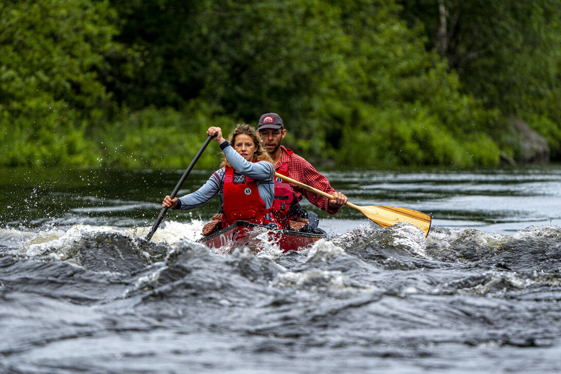

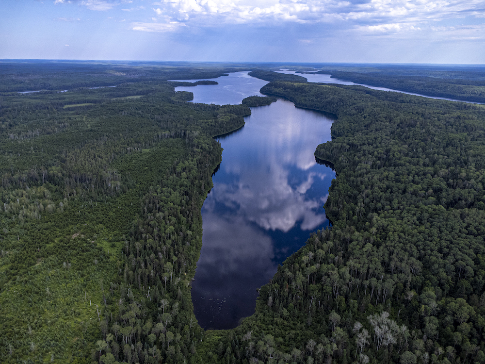
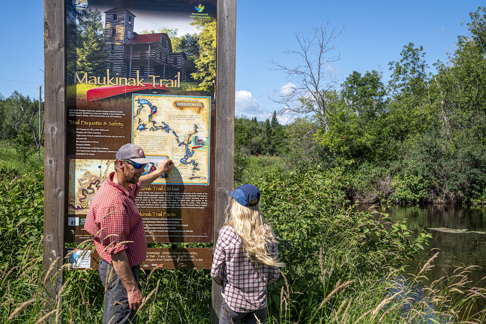
Maukinak means turtle in the Ojibway language and this fourth segment of Path of the Paddle will have you travelling like its namesake: slow and steady. Spanning roughly 275 kilometres between Atikokan and Vermillion Bay—there is a spur route in and out of Dryden—the Maukinak Trail has 60+ portages, depending on water levels, which are long and frequent. In other words, it requires hard work to see this portion of the route through.
The beauty of Maukinak Trail is that it travels remote stretches of pristine lakes between roads, meaning that trips can start and end on a roadway, making for easy logistics while passing through some of Northwestern Ontario’s most overlooked waterways. If you want to plan a challenging, remote trip for a week or more, this trail is for you.
Conversely, with easy access to outfitters in the Atikokan area and an unlimited number of access points and lovely waterways in every direction, Maukinak is the day tripper’s delight and provides an unparalleled weekend escape.
Here’s what you need to know.
Find out more about Planning a Path of the Paddle Canoe Trip and the other water trails composing the route.
Located south of Dryden on Dore Lake Road, Ingall Falls and Kekekwa Creek are a paddler’s treasure for a day on the water. Ingall Falls drains out of Ingall Lake and the waterfall is surrounded by bedrock with great swimming and fishing—even better, the tranquil waters below are great for exploring by paddle.
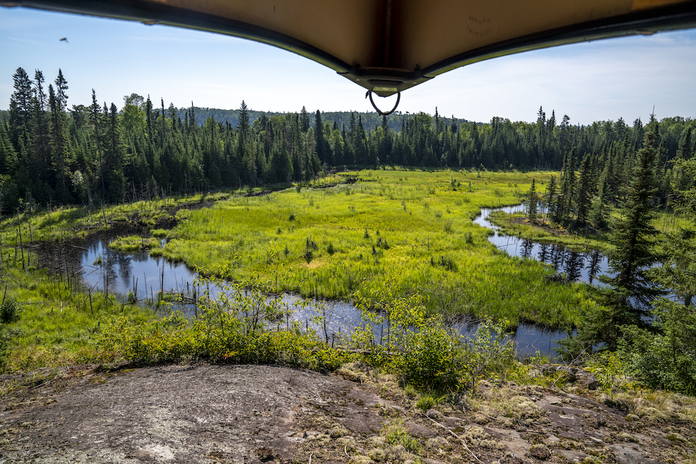
A little farther south begins the stunning marshland of Kekekwa Creek, where paddlers can venture in the winding, snake-like waterway as it turns through abundant waterfowl, trumpeter swan and moose habitat for an entire day of exploring.
There are no canoe rentals in Dryden or Vermillion Bay, but travellers coming from the west can get all their gear needs met at Green Adventures in Kenora and can spend nights camping in Dryden at Nature’s Inn Campground or under a roof at the Riverview Lodge. In Vermillion Bay, paddlers can camp at the Blue Bird Campground and don’t miss stopping for a meal at Bobby’s Bites.
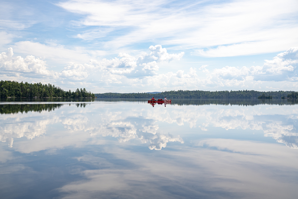
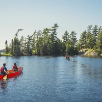
The Turtle River stretch of Path of the Paddle, just north of Atikokan, is a crystal clear waterway teeming with walleye, bass, lovely falls, short portages and campsites at every turn. Combine this with its proximity to Atikokan, where ample outfitters such as Canoe Canada are able to rent boats and tents and offer shuttle help with your vehicle, and this area should be top of every paddler’s bucket list.
The best way to access the Turtle River on a looped out and back trip is to start at the parking spots on Highway 622 where an official portage crosses the road into Bending Lake. Once on Bending Lake, paddlers can go south down a small rapid—with a portage around it if desired—where a recently enhanced connector portage brings them up into Smirch Lake. From here, you can follow the current downstream back into Bending Lake, closing the loop back at your vehicle.
The best way to end a weekend near Atikokan is with a homemade poutine at First Round Draft’s Backstreet Bistro and a night in Bunnel Park Campground where a short hike takes you to the scenic Little Falls on the Atikokan River.
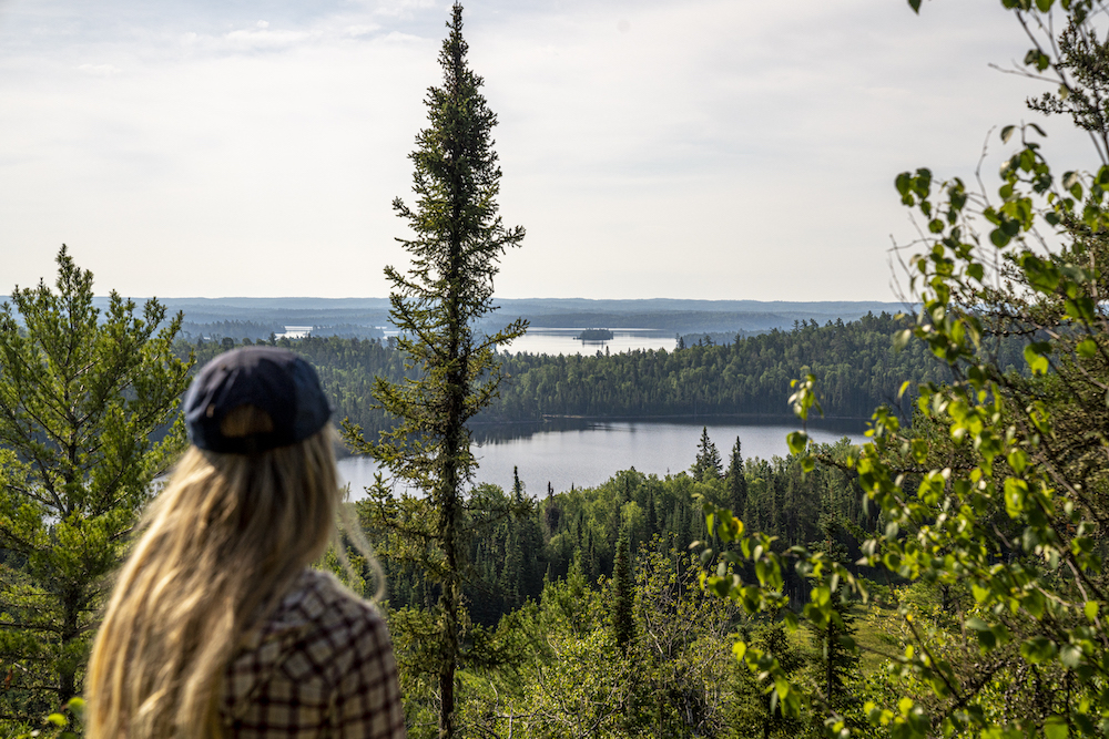
Between Highway 502 and Dore Lake Road, where Ingall Falls is found, is a wild and rugged stretch of the Path of the Paddle. The portage between Upper Manitou and Kekekwa lakes would be a hiking trail up to a scenic lookout if it wasn’t tucked neatly between lakes in the wilderness—instead, intrepid paddlers will have the lookout all to themselves.
The route starts on Rattlesnake Creek on Highway 502 where it falls down into Upper Manitou Lake, a beautiful lake studded with islands. From here, paddlers climb into Harper Lake before beginning the long height of land carry over a high ridge and back down into Navimar and Kekekwa lakes. All that’s left is winding through pitcher plants on Kekekwa Creek to reach the Dore Lake Road.
For those looking to up their kilometres and the difficulty, starting or finishing on Highway 622 and adding the stretch through Kennewapekko and Thundercloud lakes is a lovely section.
While outfitters need to be accessed in either Atikokan or Kenora, if you’re equipped and only need a shuttle, or if you’re in need of canoes and a dropoff at your starting point, Linda at Quetico North Outfitters can get you where you want to go with their eight-passenger van with room for two canoes and all your gear.
Route planning maps are available for purchase from the Path of the Paddle website, Wilderness Supply and Chaltrek. The overview map is the best way to visualize the entire route and dream up a trip. When you’ve done this and decided the specific area you’d like to explore, visit this exciting new project Path of the Paddle has put together making their 1:25,000 detailed maps available for free. Donations are encouraged as they are a not-for-profit.
The maps have portages, routes and some campsites marked on them in excellent detail and can be downloaded in various formats either for GPS downloading, PDF viewing or jpegs.