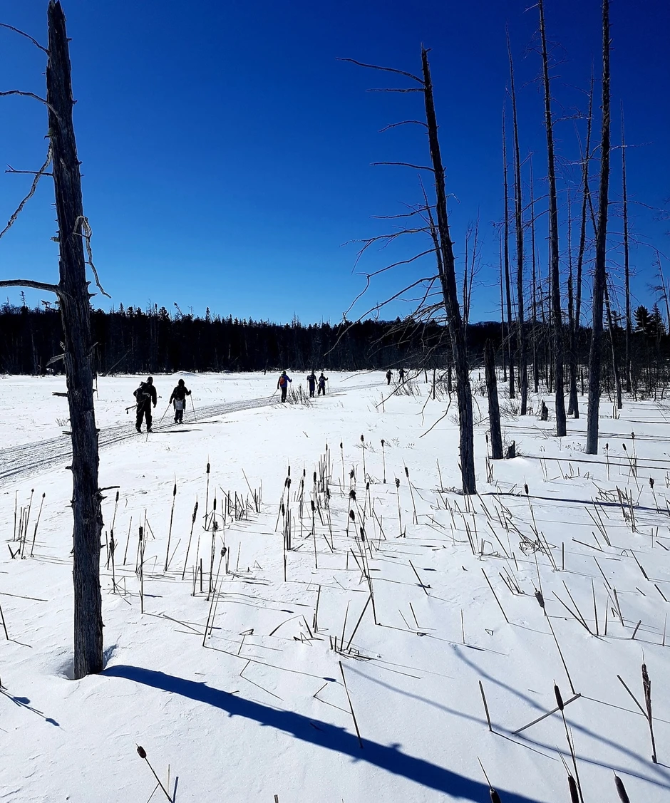
Gros Cap Bluffs: A Snowshoe and Hiking Paradise Just 20 Minutes West Of SSM
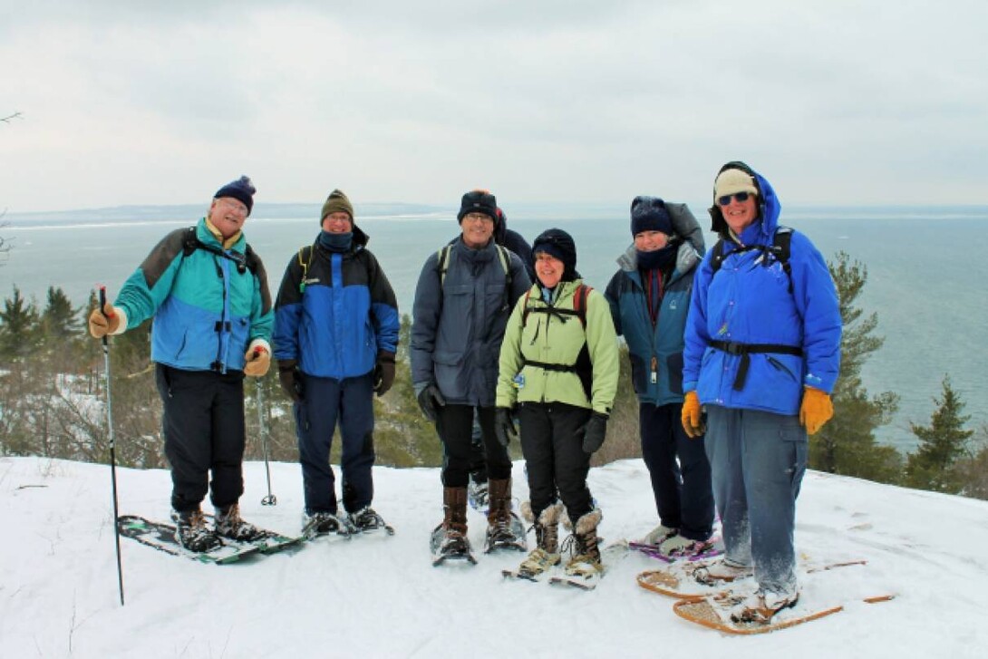
Appreciation, preservation and conservation, this club has a mission!
The Sault Naturalists of Ontario and Michigan is a club with a mission to promote the appreciation, preservation, and conservation of our natural heritage. One way we do this is to get out most every weekend and peddle, paddle, hike, ski and snowshoe through some of the most beautiful and rugged country in Algoma.
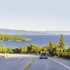
One of our favorite destinations is Gros Cap, located at the far west end of Prince Township and accessible from the end of Highway 550 (Second Line) approximately 20 minutes west of town. The site is an unparalleled setting of natural, historical and cultural significance on the Superior Heritage Coast.
Cobble beaches, 90 meter high craggy rock faces and pine clad bluffs are the natural features of this area that make it a spectacular draw all year round for locals and visitors to the Sault. As it was for the native Ojibwa people for centuries, Gros Cap remains a focus for deep spiritual communication, reflection and contemplation.
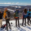
It's winter, with plenty of snow and the Sault Naturalists are heading to The Bluffs for a snowshoe trek from the parking area at the west end of Second Line. We make a point of taking the scenic sideline to the edge of the cliffs overlooking Whitefish Bay at the extreme eastern end of Lake Superior, the largest freshwater lake in the world. On a clear day we could see the lighthouse on Isle Parisienne to the northwest, but not today. We stand atop the "frog guardian", an Ojibwa spirit that is associated with the Cap.
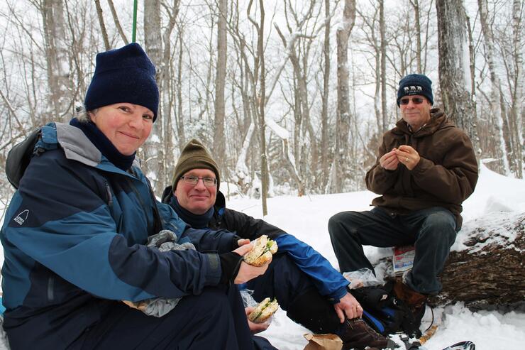
Back on the main trail we puff our way up the bluff and hook up with the 40 kilometer (25 mile) Saulteaux section of the Voyageur Trail which starts in the Gros Cap Conservation Area and runs through to the Hiawatha Highlands Conservation Area. We're not that ambitious however. Around 5 kilometers is what we'll hike.
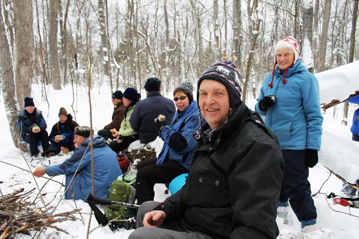
It's time for lunch! Over a bonfire, sandwiches and sausages are unwrapped and toasted. Toes and fingers are warmed and soon it's time to continue north along the scenic bluff.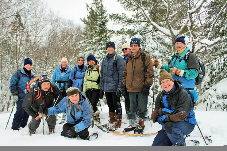

We continue snowshoeing along the Gros Cap Loop Trail and stop at each of the lookouts over Lake Superior. We image voyageurs plying their freighter canoes across Whitefish Bay and early Ojibwa people fishing for lake trout and whitefish on offshore shoals.
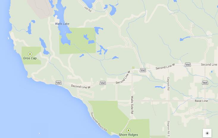
Heading southeast along Jackson Island Road (aka North Gros Cap Road or Marshall Drive), we pick up the Loop Trail back into the forest. Eventually we connect with our broken track and follow it back to the parking area. The entire trip takes less than 4 hours at a leisurely pace including a lunch stop. It's a wonderful way to spend the afternoon.

Come out and discover our beautiful natural heritage!
For outings and program information for the Sault Naturalists of Ontario & Michigan check out our wiki at Sault Naturalists or visit Winter 2014 Outings.
Recommended Articles

9 Facts to Know about the Agawa Canyon Tour Train
A Guide to the Best Urban Fishing in Sault Ste. Marie, Ontario

Where to Eat, Dine, and Play on the Sault Ste. Marie Waterfront

Cruising to the Next Level

Canada's Only Bushplane Museum is a Must For Your Bucket List

Why the Fall Is a Great Time to Visit Sault Ste. Marie
Canoe & Kayak Sault Ste. Marie

Peace Restaurant
