Cycling in #TheSoo
Your own personal tour guide takes you down some of Sault Ste. Marie's most picturesque cycling routes—straight to the best sticky buns in the North!
Where to ride in #TheSoo:
A Cyclist’s Resource Guide To Sault Ste. Marie
If you’re thinking of making the Sault your destination for a cycling holiday, in town for work, or a Saultite new to cycling, here are a couple favourite road routes, two spots for mountain biking and a few other resources to get you started. Directions are abbreviated as R (right), L (left), N (north), E (east), S (south) and W (west).
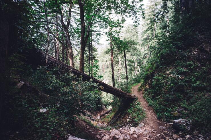
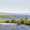
Riding west to the rocky beach and bluffs of Gros Cap on Lake Superior is an excellent and scenic option if you’re interested in a 40-50km out and back or partial loop. Ride Second Line W (550) out and back (not as scenic, but smoother pavement), or make it a loop on the return by turning R(E) on Deans Road, R(S) on Walls Road and L(E) again on Base Line. To extend the route, Airport Road to Pointe des Chenes is a good option. For more hills, northbound offshoots from 2nd Line are good. S on Walls Road past Base Line is the Muur de Walls: you’ll likely want to small ring and stand for it. The Airways store at Airport Road and 2nd Line has refreshments. Check out there route here.
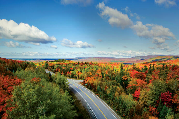
(Photo by Dan Grisdale)
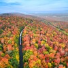
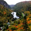
East of town, the Sylvan Valley showcases farms, lakes, and great fall colours. Traffic is usually calm and you might see horse drawn buggies. The whole route is about 110km; some might choose to shorten it by starting in Echo Bay. Ride E on Queen Street to Fournier Road and turn L(N). Turn R(E) onto the Trans-Canada/ Hwy 17. Hwy 17 sometimes has heavy traffic. Continue straight through the light onto 17B, where the shoulder widens and the speed limit drops. Ride through the community of Garden River to Echo Bay. There are convenience stores along the way. In Echo Bay (3187 Hwy 17 Echo Bay) there is Village Bakery (tasty sticky buns) and a couple of small restaurants. These are the last stops before heading out on the Sylvan Valley loop so make sure you have enough supplies.
At the flashing light in Echo Bay, turn L(E) on Church Street/638 and continue through town, crossing Hwy 17, then turn L(N) on 638 towards Leeburn. 638 is a scenic, hilly route, which is a nice ride to Bruce Mines, but for the loop, turn R onto Gordon Lake Rd, which winds E and then S through scenic countryside before intersecting with Government Road. Turn R(W) on Government Road and continue on it, noting the sharp R(N) and the jog it takes E on Reids Road before continuing N again to Bar River Road. At Bar River, turn L(W), cross Hwy 17 and continue R(N) onto 17B, bringing you back to Echo Bay where you can retrace your route home. Check out the route here.
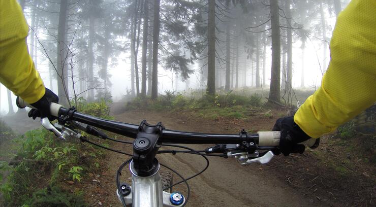
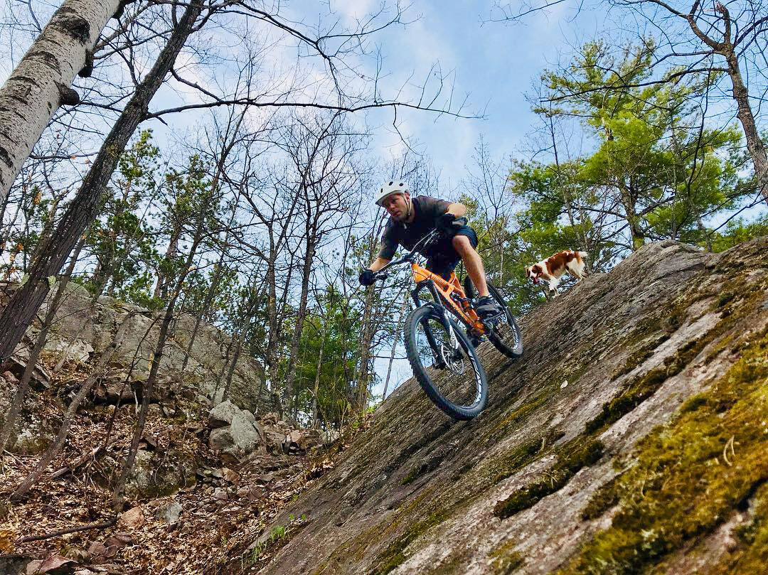
Hiawatha Highlands and Stokely Creek are close by spots for cross country mountain biking. At Hiawatha, park at the blue Sault Finnish Nordic ski club building. Cross the road to the Pinder singletrack, a twisty and tight trail good for beginner to more experienced riders. The trailhead for the more intermediate Crystal trail is on the far side of the blue building. Both trails are signed. The Algoma Highlands Conservancy trail at Stokely is 10km of singletrack with the greatest range in elevation around. It has a more technical climb in the first half and mellows after that. If you’re an intermediate to advanced cross country rider, it’s well worth doing.
Looking for more local riding information? The Sault Cycling Club organizes road, mountain and cyclocross rides, while the Hub trail is our in town bike and pedestrian paved pathway. Bike rentals are available from Algoma Bicycle Company
Recommended Articles

9 Facts to Know about the Agawa Canyon Tour Train
A Guide to the Best Urban Fishing in Sault Ste. Marie, Ontario

Where to Eat, Dine, and Play on the Sault Ste. Marie Waterfront

Cruising to the Next Level

Canada's Only Bushplane Museum is a Must For Your Bucket List

Why the Fall Is a Great Time to Visit Sault Ste. Marie
Canoe & Kayak Sault Ste. Marie

Peace Restaurant
