Sault Ste. Marie Is A Prime Cycling Destination! Here Are The Top Routes To Try
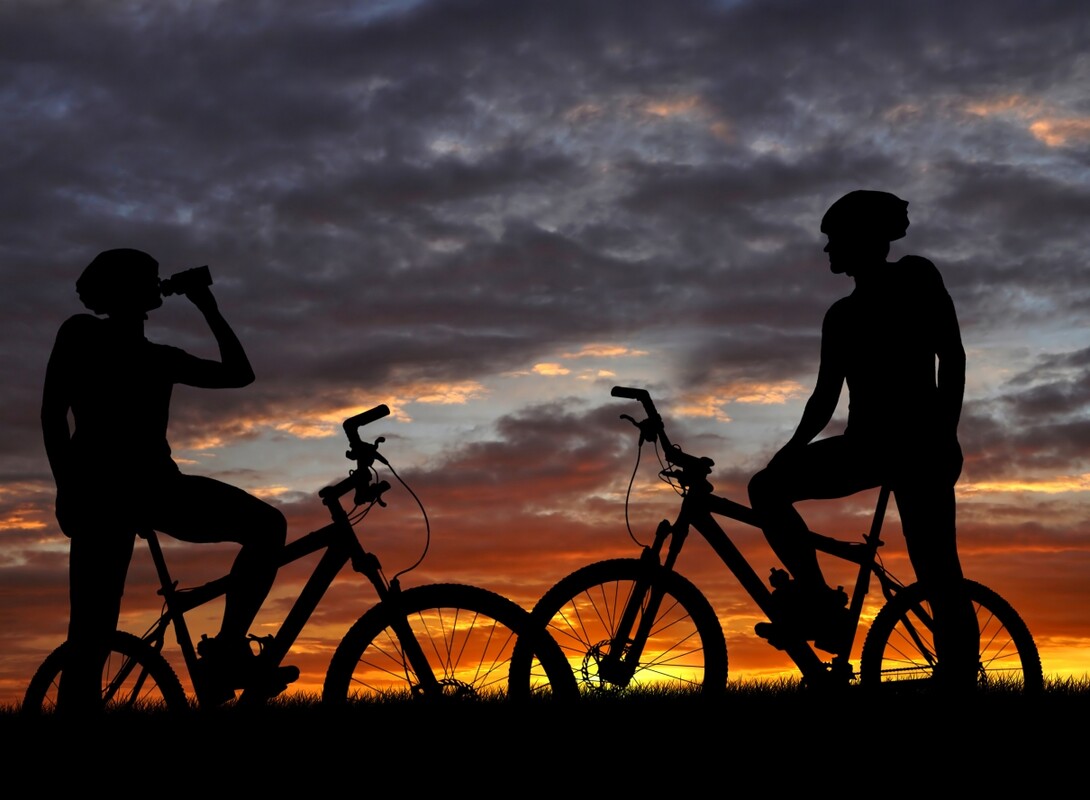
Sault Ste. Marie's diverse landscapes and transforming seasons make this city a prime cycling destination. Peddle along crisscrossing roads, trails entangled with twists, hills, valleys and scenic views with a guarantee to satisfy every level and type of cyclist. You just never know what the next turn, twist or hill with bring!
Here is the scoop on the best cycling experiences the city has to offer!
Road Cycling
Hiawatha Highlands, 'The Lines' and Gros Cap
2nd, 3rd, 4th, 5th and 6th Line provide excellent bike routes as well as Landslide Road up to the Hiawatha Highlands. Up Landslide Road to 5th or 6th Line, down the highway and west on 4th Line provides several steep climbs, including People's Road. Old Goulais Bay Road, Brule Road, the road to Crimson Ridge Golf Course, and the site of the yearly Back in Motion Hill Climb, Goulais Ave. Continuing further west to Maki Road and out to Gros Cap (on Lake Superior) can make for a challenging ride. Extend this ride even further by cycling out to Pointe de Chenes before returning on 2nd Line.

Gros Cap
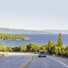
Riding west to the rocky beach and bluffs of Gros Cap on Lake Superior is an excellent and scenic option if you're interested in a 40-50 km out and back or partial loop. Ride Second Line W (550) out and back (not as scenic, but smoother pavement), or make it a loop on the return by turning R(E) on Deans Rd, R(S) on Walls Rd and L(E) again on Base Line. To extend the route, Airport Rd to Pointe des Chenes is a good option. For more hills, northbound offshoots from 2nd Line are good. S on Walls Rd past Base Line is the Muur de Walls: you'll likely want to small ring and stand for it. The Airways store at Airport Rd and 2nd Line has refreshments.
Searchmont Highway, Bellevue Valley / Goulais River
Highway 17 North to the Searchmont Highway (Highway 556 at Heyden) provides about a 100km round trip from Sault Ste. Marie. Highway 556 continues along a hilly route to Searchmont Ski Resort. The adventurous can turn down Highway 552 (near Island Lake) on the way home and enjoy a long downhill run (with little traffic), eventually joining up with Highway 17 North near Goulais River. Slog up the "Mile Hill" on Highway 17 on your return trip to Sault Ste. Marie.
Bruce Mines, Sylvan Valley and Echo Bay
For a round trip of about 130km from Sault Ste. Marie, continue on the Trans Canada Highway (Highway 17) to Bruce Mines, then turn onto Highway 638. This road has little traffic and lots of hills all the way back to its exit at Echo Bay. Complete the ride by riding the final 25km to Sault Ste. Marie on the Trans Canada Highway.
St. Joseph Island
Highway 548 and an extension using the A Line will provide a full day of cycling on St. Joseph Island. This is an excellent way to tour through the area. Roads are scenic and have little traffic.
The John Rowswell Hub Trail
The John Rowswell Hub Trail is a 25 km multi-use non-motorized trail system that connects many significant points of interest including the waterfront walkway, Bellevue Park, Algoma University, Sault College, the new hospital and Fort Creek Conservation Area.
This trail system provides access to all areas of the City and links together key cultural, historical, and natural areas of the community. In addition, community residents can use the trail as an alternative, environmentally friendly mode of transportation, decreasing auto-dependency within the City.
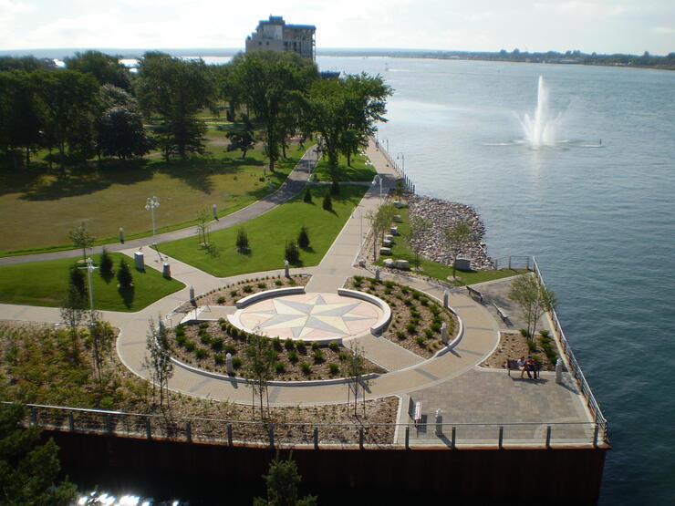
The Trail provides increased recreational opportunities for residents and visitors to Sault Ste. Marie and attract many trail-using tourists to the City. As well, the trail serves to promote local, provincial and national cross-country running and cycling trials and competitions.
The John Rowswell Hub Trail Route Maps
Mountain Biking
Hiawatha Highlands
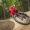
Hiawatha is home to some fantastic mountain biking trails in Kinsmen Park. The Crystal has challenging singletrack and fast doubletrack to link together into a great ride. The Hiawatha area provides cycling opportunities for all abilities. Hiawatha Highlands and Stokely Creek are close-by spots for x-country mountain biking. At Hiawatha, park at the blue Sault Finnish Nordic ski club building. Go across the road to the Pinder singletrack, a twisty and tight trail good for beginner-to-more-experienced riders. The trailhead for the more intermediate Crystal trail is on the far side of the blue building. Both trails are signed. The Algoma Highlands Conservancy trail at Stokely is 10km of singletrack with the greatest range in elevation around. It has a more technical climb in the first half and mellows after that. If you're an intermediate to advanced x-country rider, it's well worth doing: www.algomahighlandsconservancy.org
Bellevue Valley
This challenging and scenic trail area is a recent addition to Sault Ste. Marie's mountain biking selection. Beginning after a long grunt up Bellevue Valley Road and up the tower access road, this trail decends about 200 meters over 5km of difficult singletrack. Experts only!
City Updates for Road Cycling
Sault Ste. Marie's city roads are undergoing new advancements to adapt to the growing cyclist population. Queen Street East now includes designated bikes lanes!
Links Of Interest
Outfitters
Algoma Bicycle
360 Queen St., East
Sault Ste. Marie, Ontario
Phone: (705)759-3443
Vélorution
162 Old Garden River Road
Sault Ste. Marie, Ontario
(705) 253-9388
www.velorution.ca
* References - www.saultcyclingclub.ca
Recommended Articles

9 Facts to Know about the Agawa Canyon Tour Train
A Guide to the Best Urban Fishing in Sault Ste. Marie, Ontario

Where to Eat, Dine, and Play on the Sault Ste. Marie Waterfront

Cruising to the Next Level

Canada's Only Bushplane Museum is a Must For Your Bucket List

Why the Fall Is a Great Time to Visit Sault Ste. Marie
Canoe & Kayak Sault Ste. Marie

Peace Restaurant
