Finding Your Way in Northern Ontario
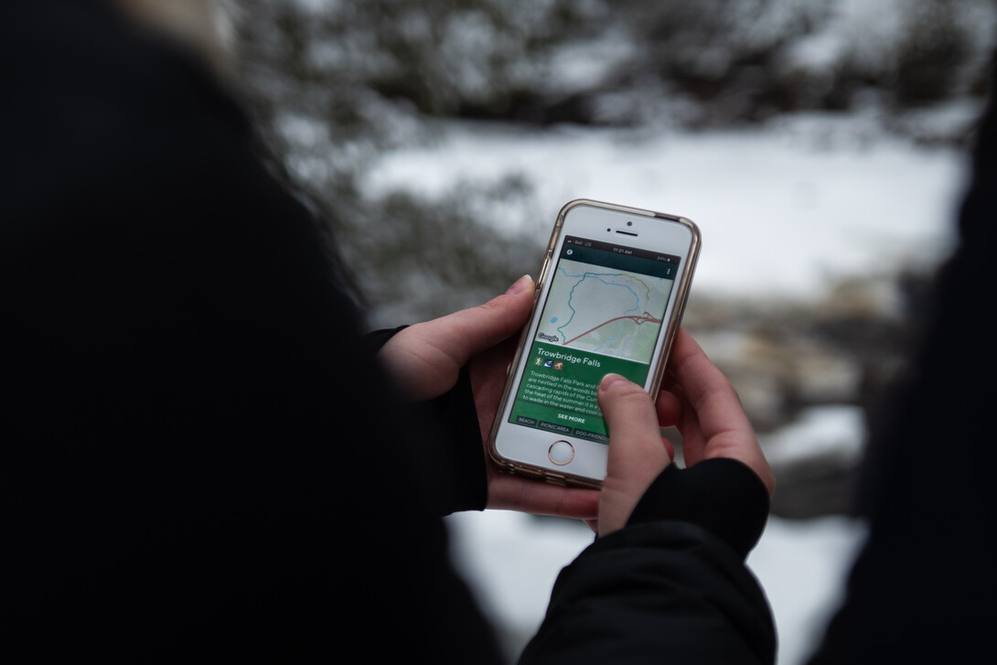
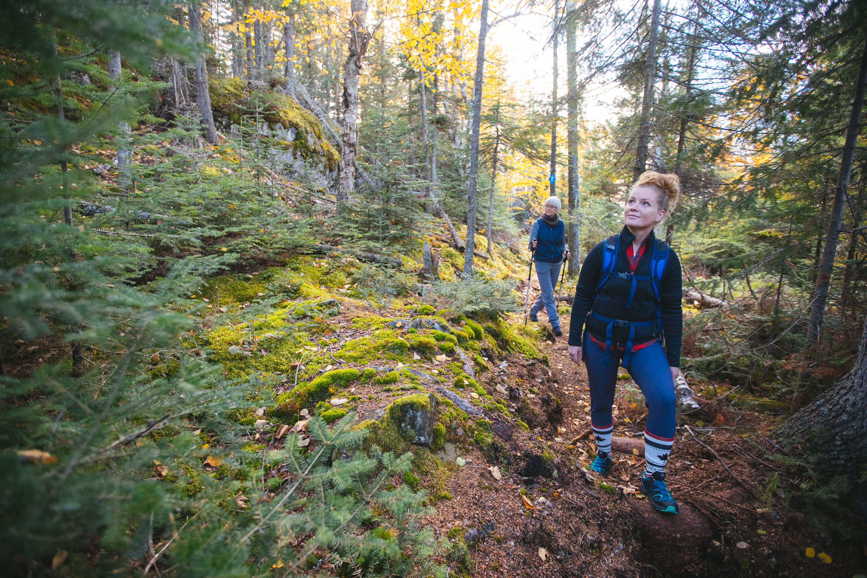
Not all who wander are lost… but it’s a definite possibility sometimes! However, thanks to an innovative free new app called WAYfinder, more than 800 km of trails in northwestern Ontario are now mapped and accessible in one handy, user-friendly location.
The app came about when two forestry students at Confederation College, Katherine Couzelis and Graeme Saukko-Sved, were considering ideas for a class project. Katherine’s sister had recently got lost on one of the area’s trails and was fortunately helped by another trail user. But it got them thinking: Katherine and Graeme, both avid hikers, had also been frustrated by trying to locate particular trails and trailheads. “It kick-started the idea of making information more accessible for people,” says Katherine.
After they presented a mini-version of the app for their project, their instructor urged them to take it further. Over the course of the next two years they partnered with the Northwestern Ontario Innovation Centre, Thunder Bay Chamber of Commerce, Shout Media, Destination Northern Ontario, and Tourism Thunder Bay, as well as beta testers to share feedback. The result: a smartphone app that gives tons of information about recreation trails and areas, ranging from the Minnesota border to Nipigon.
How do you use it?
After downloading it to your device (it’s available for both Apple and Android), you can search for trails in the categories of hiking, mountain biking, cross-country skiing, snowshoeing, city walking, downhill skiing/snowboarding and skating. You can also filter for easy, moderate or difficult, as well as “popular” or “near me.” Just tap on the icon on the map to get more details about the trails, like distance, estimated time to complete, ratings and directions. There are also tags like “birding,” “kid-friendly,” “beach,” “dog-friendly,” and “well-maintained.” You can save trail information to read on your phone when you’re offline. If you register as a user and turn on your phone’s GPS or location feature, you can keep track of the distances you’ve travelled and the number of trails you’ve completed, do a trail review or get a warning if you veer off the trail.

Katherine and Graeme worked with existing trail information provided by organizations like Lakehead Region Conservation Authority, Parks Canada, Ontario Parks, and Kamview Nordic Trails, but also hiked a lot of the trails themselves to get the details they required. Other trails were mapped with remote sensing, using high-quality imagery that they used to trace the trails onto their digital maps.

And while it’s tough to narrow down it down, both have some favourite trails. “I’m a big fan of the Kabeyun Trail at Sleeping Giant Provincial Park,” says Graeme. “That one was hard to procure from any other data set so I went out and hiked it. It goes around the Sleeping Giant so you get to see the Giant from a completely different viewpoint. It’s also really diverse: really nice creeks and rivers, bays and beaches and all sorts of good places to camp.”
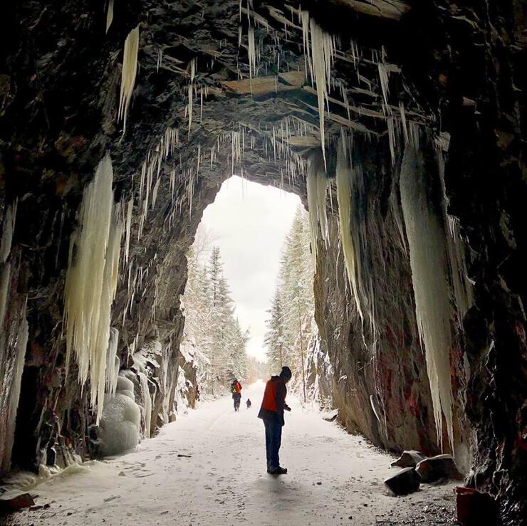
For Katherine, it’s the Mazukama Falls hike in Nipigon. “It’s really beautiful hike to do in the summertime but also in the wintertime, when the falls freeze up and becomes four times the size of the original,” she says. “There are huge icicles and people go ice climbing. The whole hike is along the river and it’s just breathtaking, surrounded by cedars.”

With hundreds of downloads in less than a week after launch, WAYfinder is a hit with residents and travellers. Looking ahead, they’ll add more trails, as well as information about other northwestern recreation, like kayaking, paddling and rock-climbing. Visit www.wayfindertrails.com.
Recommended Articles

Epic Lake Superior Adventures Near Thunder Bay

Experience Your Perfect Summer in Thunder Bay

Eco-Friendly Travel in Thunder Bay

Wellness Retreats in Thunder Bay

LGBTQIA+ Friendly Businesses in Thunder Bay

Uncovering Thunder Bay's Hidden Gems

Top 10 Interesting Facts About Thunder Bay

Work Hard, Reward Yourself: Discover Thunder Bay’s Best Winter Experiences

Thunder Bay Winter Fun Guide 2025

12 Best Places to Stay in Thunder Bay

5 Fantastic Ways to Explore the Water in Thunder Bay

5 Reasons to Bring a Conference or Meeting to Thunder Bay, Ontario

21 Ways to Enjoy Thunder Bay

The Remembrance Poppy and its Thunder Bay Roots

Why You Should Always Travel With Fishing Gear in Thunder Bay

This new cruise ship sails into Thunder Bay

Chill Out in Thunder Bay: Why Cold Plunges Are Hot Right Now

Walk This Way: Self-Guided Art and History Tours in Thunder Bay

