Riding Ontario's snowiest region this winter?
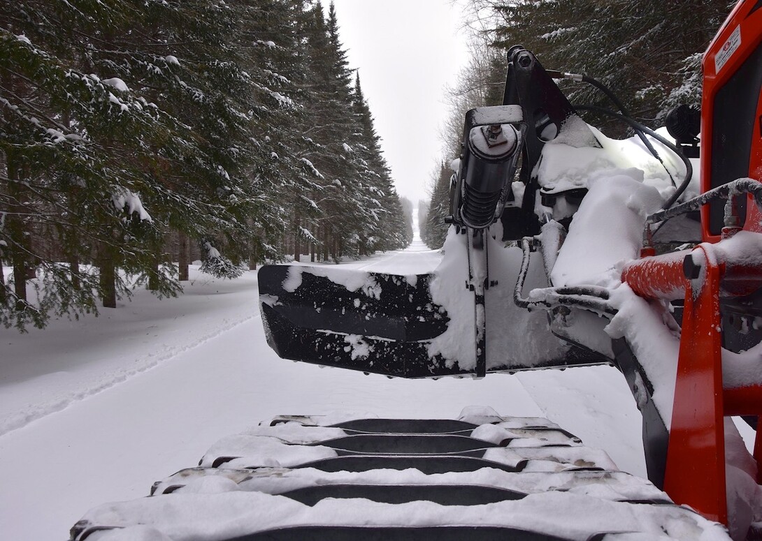
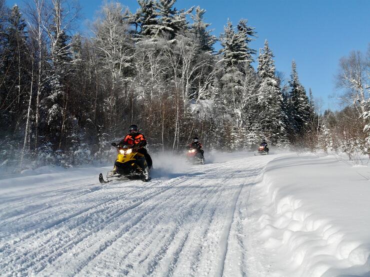
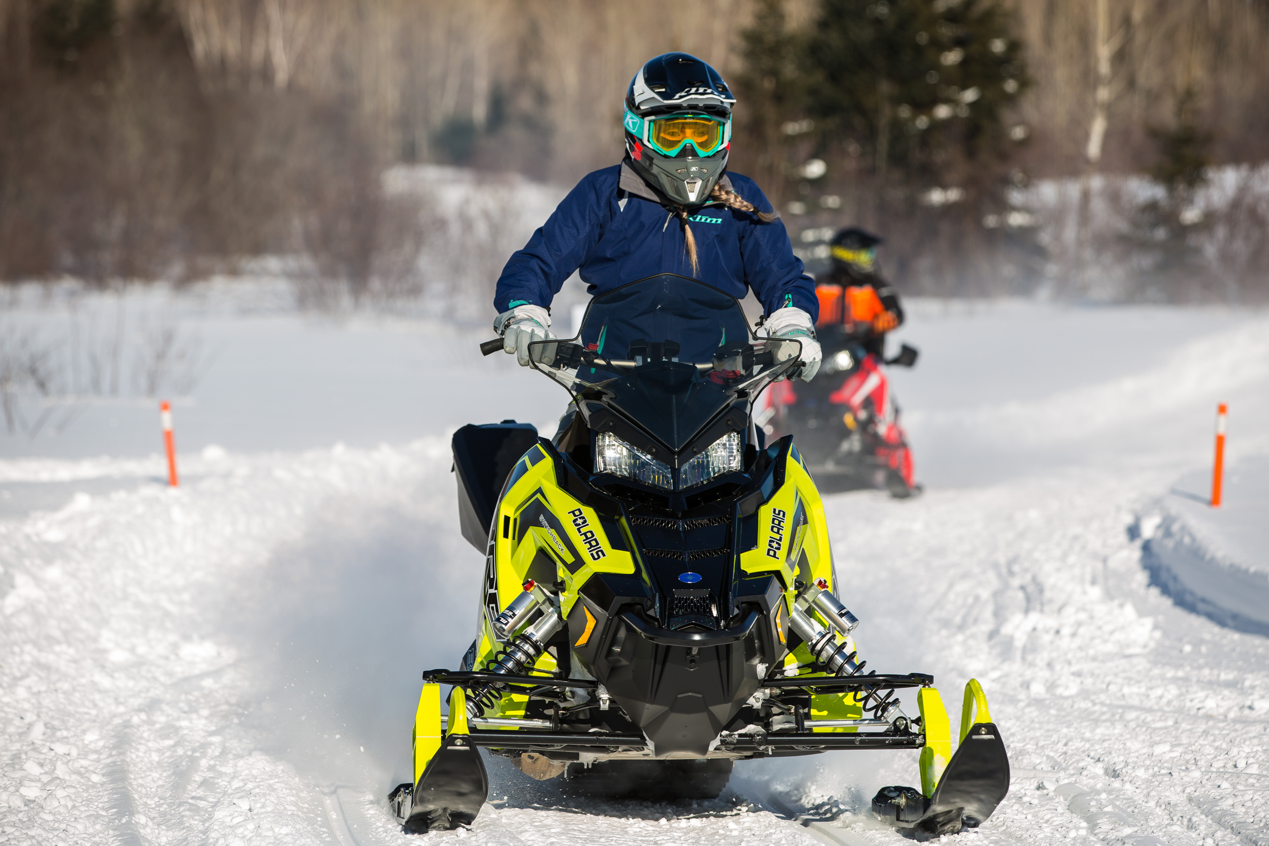
Every winter, snowmobilers trailer to Northeastern Ontario for their sledding getaways. Situated between Lake Huron & Lake Nipissing in the south and James Bay in the north, this region delivers some of the best and most varied trail riding opportunities in the province. Abutting our border with Quebec and running west to Manitoulin Island, Chapleau and Kapuskasing, Northeastern Ontario has it all: reliable snow that comes earlier and stays late; 1000’s of kilometres of interconnected OFSC Prescribed Snowmobile Trails; hundreds of snowmobile-friendly communities; and easy highway access from points south.
I bet you could ride Northeastern Ontario all season long and rarely repeat the same trail twice. But most of us have to choose one area to visit, so here are some factors to help with your choice…
Riding The Snow Tours
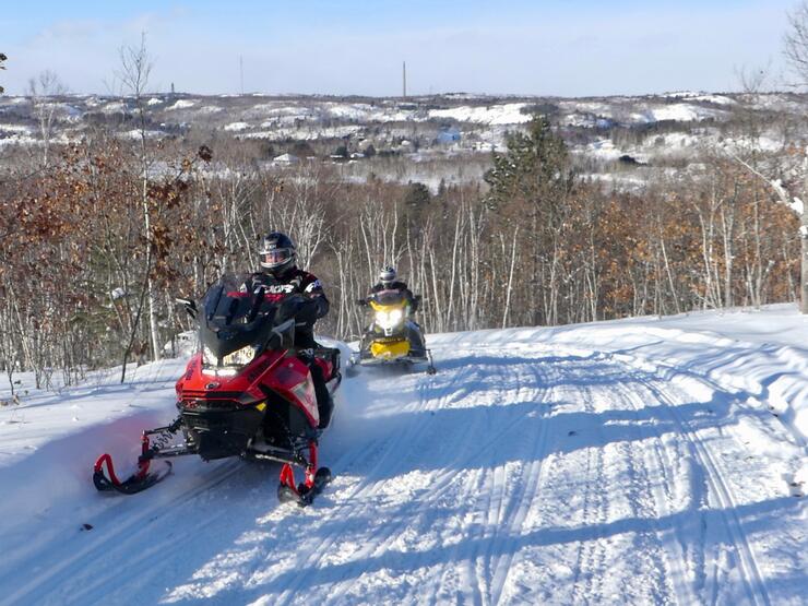
From a sledder’s perspective, there are several ways to evaluate Northeastern Ontario as a desirable destination. One is that the region encompasses four OFSC Districts that host 11 of Ontario’s most outstanding snow tours. District 11, located in the southeast corner of the region, is home to North Bay, Mattawa, the Ride Around Nipissing Tour and the Explorers Snow Tour. In the southwest corner, District 12 centres around Greater Sudbury, where you can ride the Cartier Moose Loop, Chiniguchi Wolf Loop, Rainbow Elk Loop or the Deer Loop. The Gold Rush Tour anchors the centre of Northeastern Ontario, which includes Temiskaming Shores, Kirkland Lake and Timmins, and is the showcase loop for District 14. From towns like Cochrane and Kapuskasing, District 15 hosts the Northern Corridor Adventure Tour, the Abitibi Canyon Loop, Gateway To The North and the Lumberjack Loop. Whew, that’s a lot of loopy sledding!
Getting There
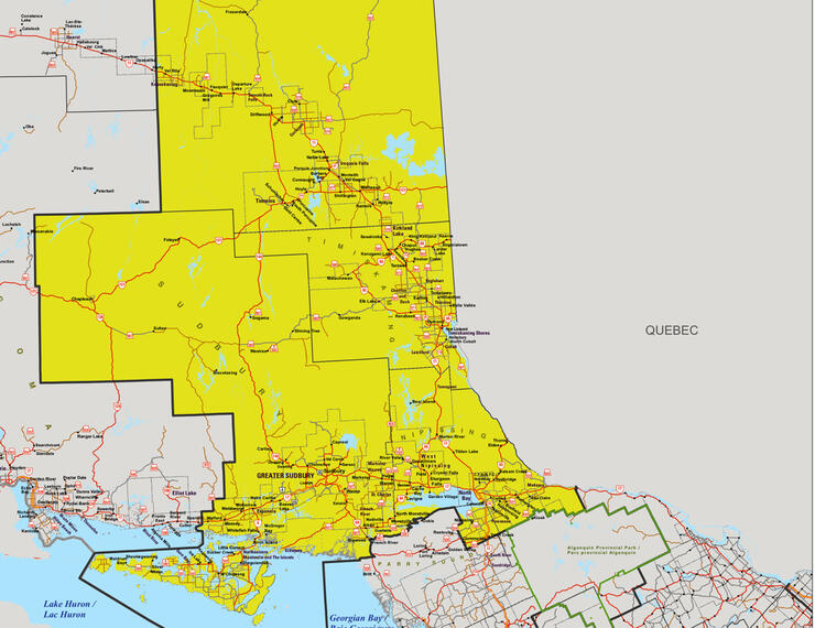
Another way to assess Northeastern Ontario is from a travel perspective. From Southern Ontario, three major highway corridors provide direct trailering access to the region’s gateway communities. In the east, Highway 17 follows the Ottawa River to Mattawa, where dropping your sled on the snow gets you onto the Explorers Snow Tour or Trans Ontario Provincial (TOP) Trail A northbound. Centrally, Highway 11 arrows you directly into North Bay, great staging location for the RAN Tour, Explorers Snow Tour, or to ride north on TOP Trail A. Finally, by following the Highway 400/69 route, you can stage northwards from Sudbury on TOP Trail C or ride their four previously mentioned snow tours. Of course, if you have plenty of time on your hands, you can avoid trailering altogether by riding OFSC trails from many Southern Ontario locations directly into Northeastern Ontario!
Staging Your Ride
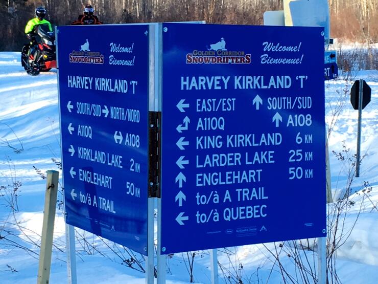
Many riders also appraise Northeastern Ontario from a staging perspective. Your choice of what community to base your ride from depends on how much time you have and how far you want to trailer. It also hinges on what kind of a ride you want to do – a muti-day ride staying at the same location every night or saddlebag touring to a different lodgings each night. Regardless, you’ll want to choose a staging hotel that best suits your budget and needs, and a community, from homey village to big city, that provides whatever services, amenities, nightlife and attractions your group prefers.
Watching The Weather
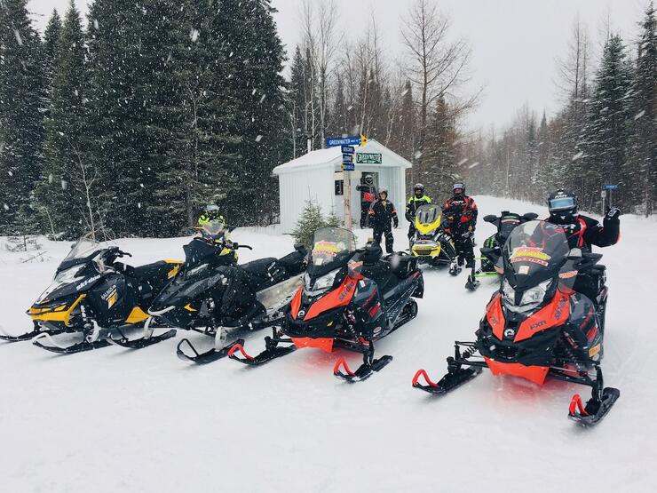
Finally, It’s also worth taking a look at Northeastern Ontario from a meteorological perspective. In other words, various bands of weather. While Northeastern Ontario displays on maps as much longer from south to north than east to west wide, recreational riding on OFSC trails takes place in three, loosely defined horizontal weather bands. This excludes a fourth that’s at an even higher latitude, from Abitibi Canyon to Moosonee, which has no OFSC Prescribed Snowmobile Trails, so isn’t relevant in this context.
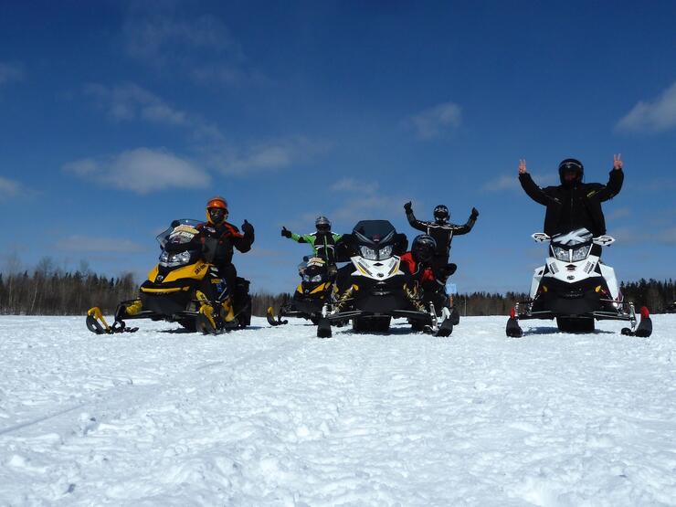
One weather band is in the southernmost area of Northeastern Ontario, which includes most of OFSC District 11 and all of District 12. It’s closest to the Greater Toronto Area and includes the trails between North Bay and Mattawa, surrounding Lake Nipissing, and connecting Sudbury, Espanola, and Manitoulin Island. The most northerly weather band centres on the TOP Trail A Northern Corridor from Cochrane west where you can Ride The North. Between the two is a swathe that stretches from Temagami and Temiskaming Shores north to Kirkland Lake and Timmins, and west to Chapleau.
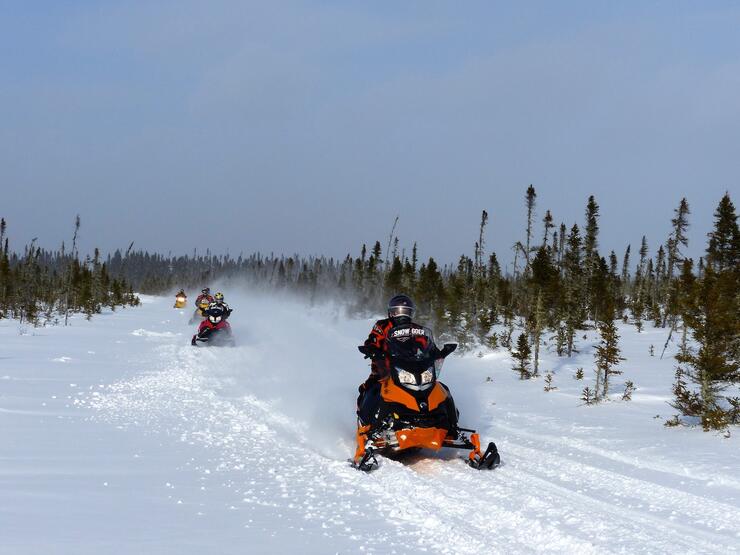
In its entirety, Northeastern Ontario is the coldest and most wintery region in the eastern part of the province. Yet, these three weather bands suggest subtle variations that visiting snowmobilers should be aware of when it comes to snow conditions and trail status.
For example, although Cochrane is less than 400 kilometres north of North Bay/Sudbury, that distance translates into several extra weeks of early or late season riding for the Northern Corridor area. Slightly more exposure to warmer air masses, can make the first and most southerly weather band in Northeastern Ontario a bit more susceptible to minor mid-season weather variations.
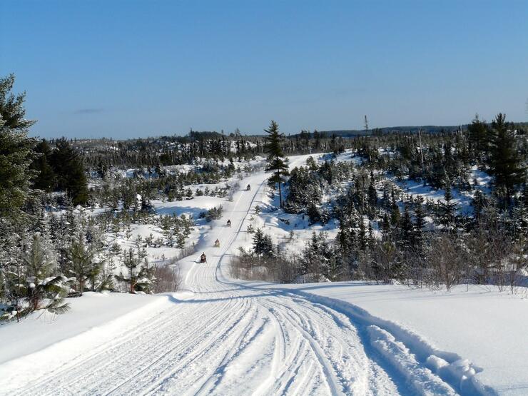
Don’t get me wrong, the south to north weather subtleties across Northeastern Ontario are rarely dramatic. Everywhere in the region typically has more winter than anywhere in Southern Ontario. But even minimal weather variations can be a consideration depending on when you are planning to ride in Northeastern Ontario, or if abnormal and unwinter-like weather activity slips into some areas from places south of the border or from Western Canada.
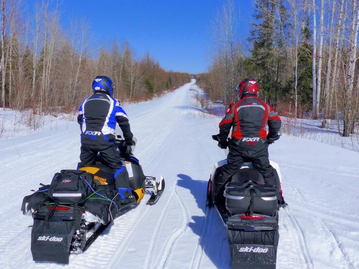
Plan your Northeastern Ontario snowmobile adventure today
Regardless of how you evaluate your upcoming snowmobile visit to Northeastern Ontario, you can be assured that you’ll find the best winter conditions that Ontario has to offer at the time, which also suit your priorities and preferences. So for unforgettable adventures and wow-worthy experiences, Northeastern Ontario is your unrivalled choice for remarkable trail riding!
Ontario law requires a snowmobile entering an OFSC Prescribed Snowmobile Trail to display a valid Ontario Snowmobile Trail Permit.
Recommended Articles
The Seven's Best Hikes, Biking Trails and Lakes

7 Best Spots to Check Out in The Seven

Budget Bliss: Explore Northeastern Ontario Without Breaking the Bank

Bring Your Fam!

Time to Unwind: 6 Spa Havens to Discover In The Seven
5 Amazing Places to SUP in Northeastern Ontario

5 Amazing Bike Rides to Discover

Northern Lights in Northeastern Ontario

Northeastern Ontario's Best Pride Festivals

Fish for one of the World's Rarest Species of Trout

An Insider's Guide to Manitoulin Island

6 Small-Town Gems to Explore in Northeastern Ontario

11 Best Things to Do in Kapuskasing, Ontario

