Your Complete Resource For Hiking in Northeastern Ontario
By Jamie McIntyre
Jamie McIntyre is an outdoors enthusiast with a passion for travel in the North.
December 8, 2024
We've broken down our best trail systems by area and non-profit trail (or tourism) association: Discovery Routes in North Bay, Rainbow Routes in Sudbury, Nastawgan Trails in Temiskaming Shores, Manitoulin Tourism Association and Timmins Recreational Trails. If you're interested in an area in particular, we encourage you to click through to the association's website or check out their corresponding google maps.
Provincial parks deserve an honourable mention, too. Ontario Parks in Northeastern Ontario are mini mecca's for hiking trails. Killarney Provincial Park for example is famous for its hiking trail to the 'Crack'.
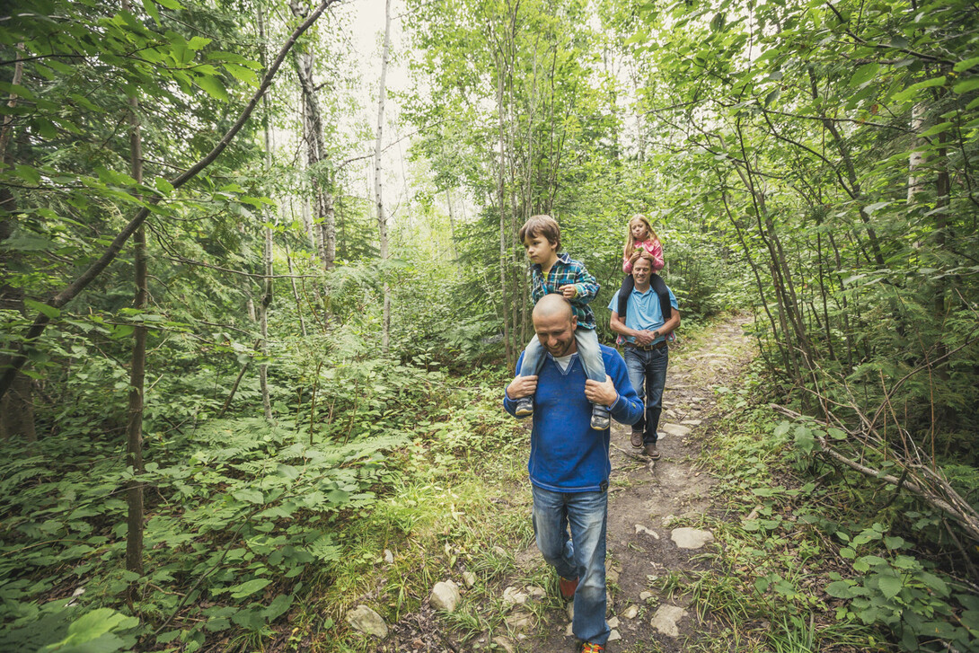
A hike on this system is must if you're visiting North Bay. Besides the obvious reason that the trails are located next to the gorgeous Duchesnay Falls, it's worth noting that 'Duchesnay Falls trails' are connected to the Education Centre Trails of Canadore College and Nipissing University. The system is 11 km in total, and has varied terrain for every level of hiker.
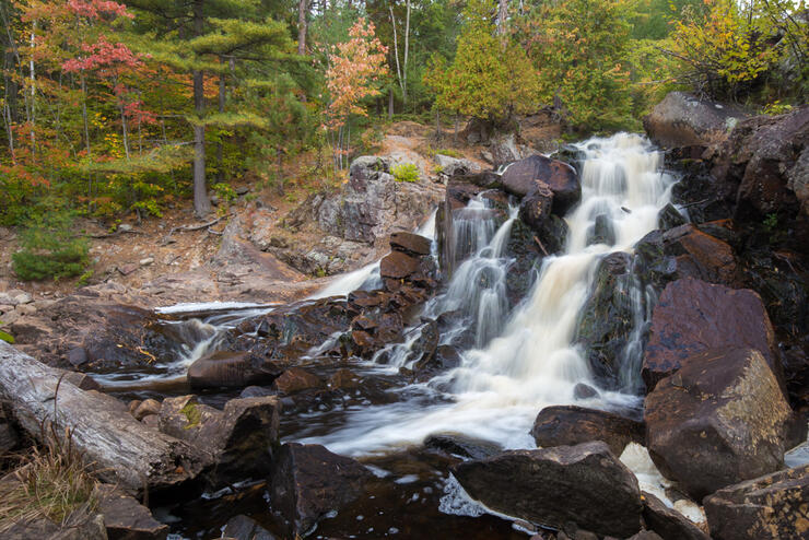
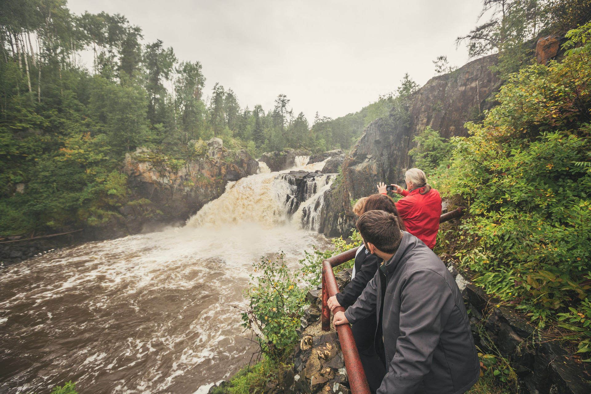
The Eau Claire Gorge Conservation Area's 2.75 km of interpretive trails provide details about the natural and human history of the Mattawa-Bonfield area. The trails are lined with fallen pine needles and the occasional boarwalk or staircase. The gorge's awe-inspiring open rockface and whitewater rapids complete the experience.
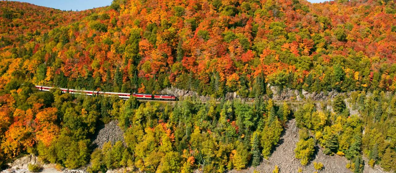
Only 30 minutes Northwest of Sudbury, on Highway 144 is the A.Y Jackson look out and trail. Just a few steps away from parking lot you'll find the look out, and the scene immortalized in A.Y Jackson's painting: Spring on the Onaping River. The trail itself runs parallel to High Falls, and over them by way of bridge. Many visitors return during the fall months, to see the brilliant display of red, orange and yellow colours.
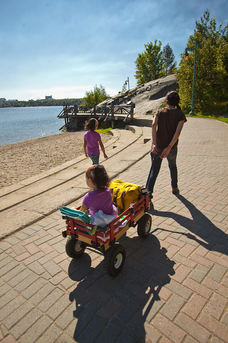
If you're visiting Sudbury's popular attraction Science North, a walk on the Bell Park Walkway is a perfect repose. The boardwalk spans the 155 acre waterfront park, and features many sandy beaches and playgrounds. Interestingly enough, the property was purchased by William Bell in 1908 for $301, and his home is now the site of Art Gallery of Sudbury located at the northern edge of Bell Park.
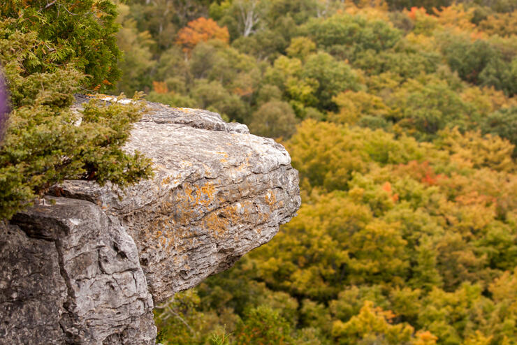
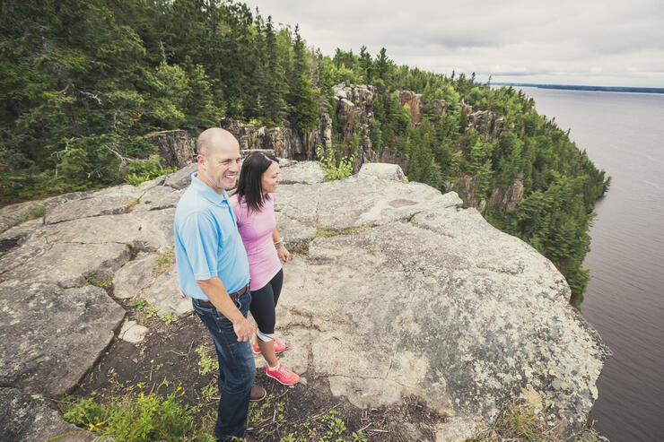
The Cup & Saucer Trail is one of the most popular hiking trails in Ontario. The trail system is 12 km long, sprawling over the dramatic 70 meter cliffs and breathtaking views. The cliffs are the northern most part of the Niagra Escarpment - which spans from New York to, well, Manitoulin Island. Just an FYI, there are ladders on this trail which makes it difficult for people who bring their dogs.
Misery Bay Provincial Park Trails
Misery Bay is unique. The Provincial Park & Reserve is located on an ancient flat rock sea bottom. This feature is known as an alvar. The Great Lakes Basin support the only alvars in North America. The park is also known for its many migratory birds, and healthy wildlife populations. There are over 9 km's of interpretive trails to explore, and we have to say it, Misery (Bay) loves company.
Get a bird’s eye view of Temagami atop the 100 ft Fire Tower on Caribou Mountain. The mountain itself is 400 ft high, so imagine the view! Parking and washrooms are located near the summit, making it a perfect launch point for extensive hiking trail system in White Bear Forest.
Do a scenic 3 km climb from Bucke Park, just outside of Temiskaming Shores, to the apex of Devil's Rock. Once you get there, you'll realize it was entirely worth the trek. Enjoy a 180 degree view of Temiskaming Lake, and on a clear day - the Quebec shoreline from atop the cliff.
For a full listing of hiking trails in the Timmins area, please see their website or Google Map.
We recommend:
Gillies Lake Boardwalk
If you're spending the day in Timmins, Gillies Lake boardwalk is the perfect way to spend an afternoon. The 2 km lit trail surrounds none other than Gilles Lake which is in the heart of Timmins. There are public swimming areas, picnic areas and plenty of parking. It's also just a stones throw away from Hollinger Park.
Hersey Lake Conservation Area Trails
Hersey Lake is just north of Timmins off highway 655, and consists of about 180 hectares of lakes, trails and scenic lookouts. This is a great place to spend the whole day. There are picnic areas, nature trails and a beautiful sandy beach. PS. Tamarack Trail is particularly serene.