The Complete 2026 List of RV Shows in Ontario
Add these RV events to your calendar.
By Celeste Percy-Beauregard


The Voyageur Trail Association (VTA) is run by volunteers and partner organizations slowly bridging the distance between Sudbury and Thunder Bay with public trails. Currently, 500 kilometres of that 1,100-kilometre distance now has traversable and designated trails for hikers' enjoyment and exploration.
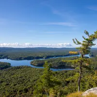
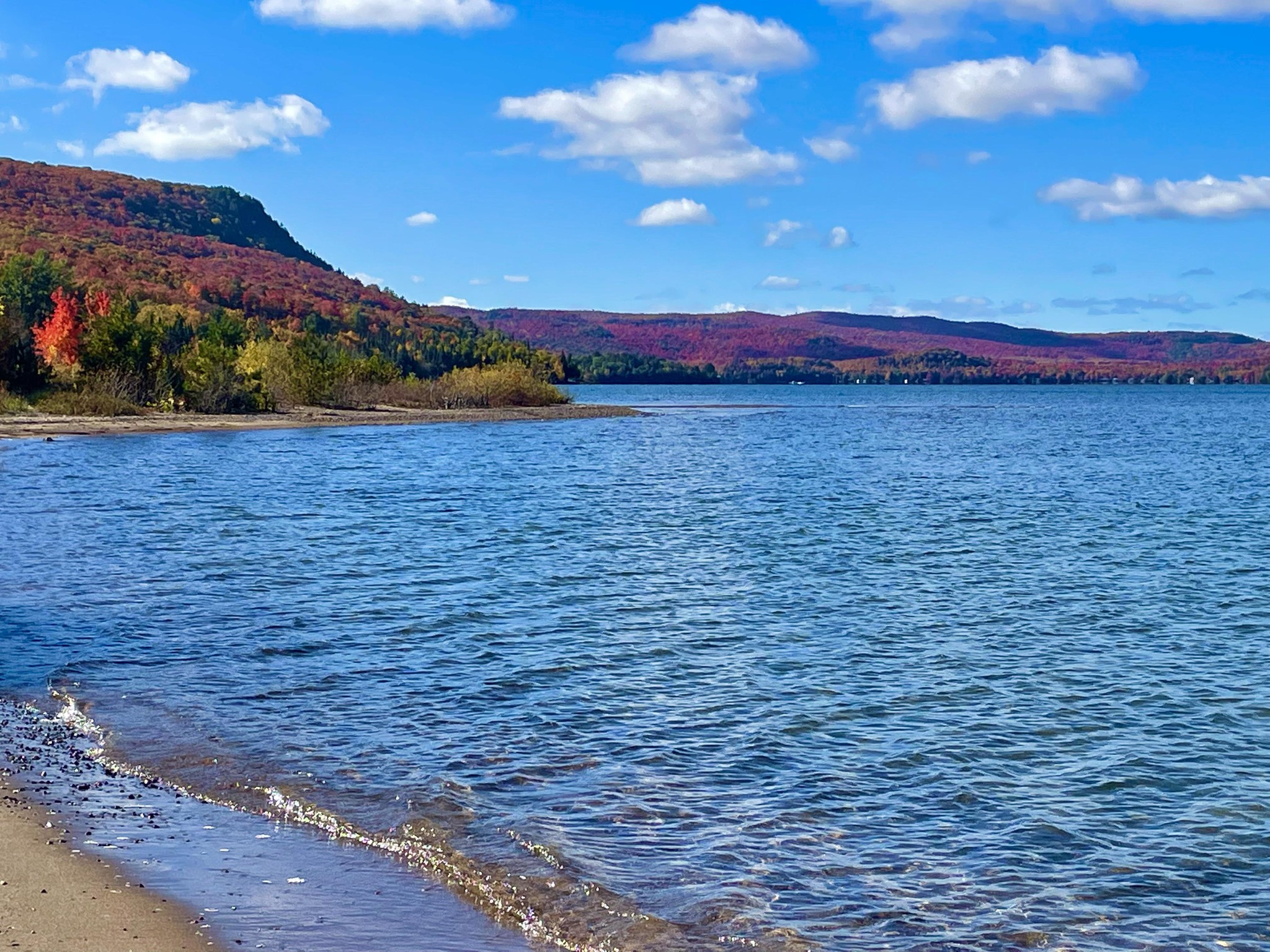
Bordering not one, but two Great Lakes, these trails offer travelers near and far something truly special in the province of Ontario. The Voyageur Trail is longer than the Sunshine Coast Trail, BC (180 km), the Alexander Mackenzie Heritage Trail (420 km), the Rideau Trail, ON (387 km), and the Chilkoot Trail (53 km). You get our drift—it’s pretty neat.
As the VTA continues to grow, there will be more and more trails added to its roster, and that may be the most exciting part. You can come back and enjoy more and more throughout your visits to Ontario, or do them again because they are so incredibly pretty.
For RVers, clearly, loop trails are the most ideal, as you likely will not have a secondary vehicle to place at the end of a linear trail. Also, the chances of you wanting to backpack larger portions when you have a cozy mobile home will be slimmer—but not unheard of.
There are plenty of trails on the circuit that have loops and we’ve included those at the top for ease. We’ve also included all other portions of the trail with only linear trails, where you can hike in and hike back, or if you do happen to have a secondary vehicle you can get adventurous and leave a shuttle vehicle at the next trailhead.
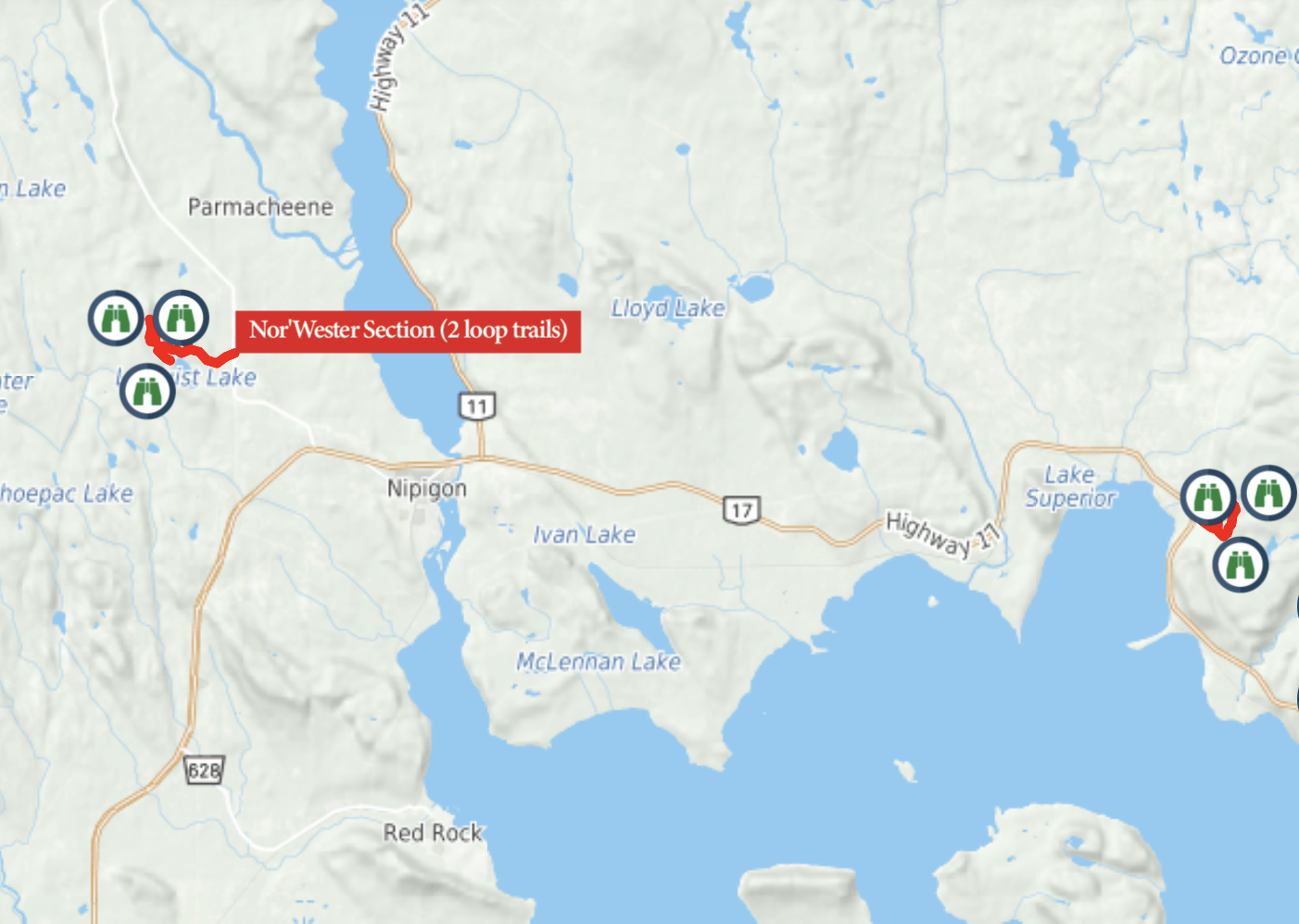
The Nor’Wester Section consists of two loop trails, the Deer Lake Mountain Hiking Trail and the Mazukama Falls Loop.
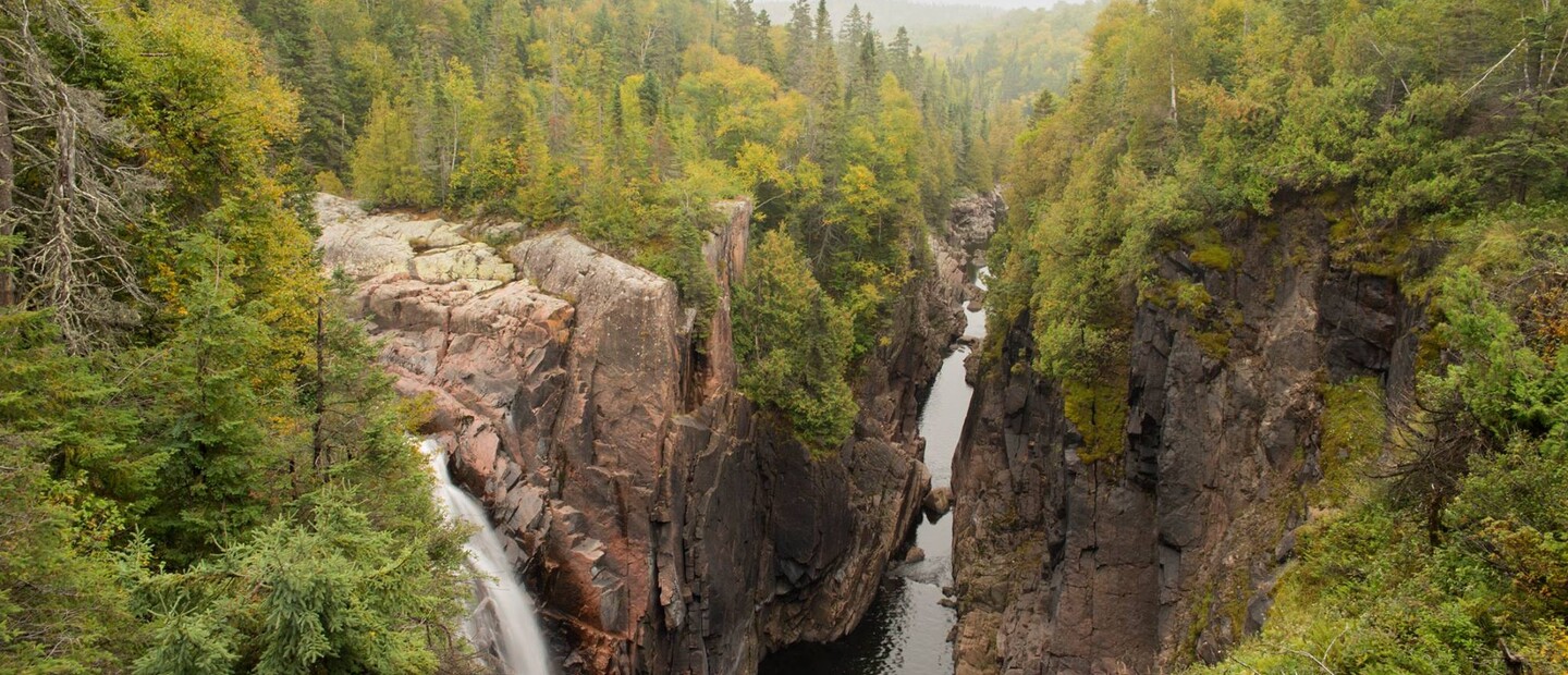
Both trails would take 7 hours of hiking to complete and they are relatively close to one another in the Nipigon area. These loops feature breathtaking lookouts, meandering creeks, an impressive 25-metre waterfall and more small brook falls.
Trailhead: Easy access
Rating: Both trails are considered by VTA to be difficult.
Bonuses: Additional spur trails for hikers as well to add detours and time to their hiking plans.
Section Duration: 7 Hours
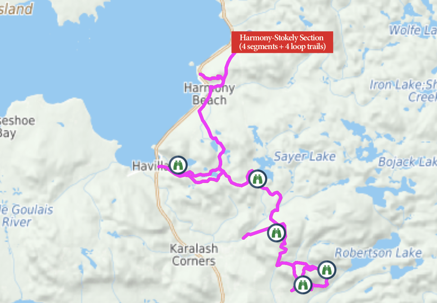
Four loop trails and four linear segments can be found in this section of the Voyageur Trail. There are seven kilometres in loops alone, 19 km in linear and 10 more km in spur trails that you can add to your journey.
Robertson Cliffs Loop trail has two loops; you can choose your own adventure if you only want to do the smaller of the two. For a more detailed look at the loop courses, become a member to view their in-depth maps.
Views of Havilland Bay, Harmony Bay, waterfalls and cliffs are just some of the attractions in this section.
Trailheads: Easily Found
Rating: All trails are considered difficult, with some including “numerous steep cliffs”.
Bonuses: 10 km of spur trails that branch off of main trails.
Section Duration: 19 Hours
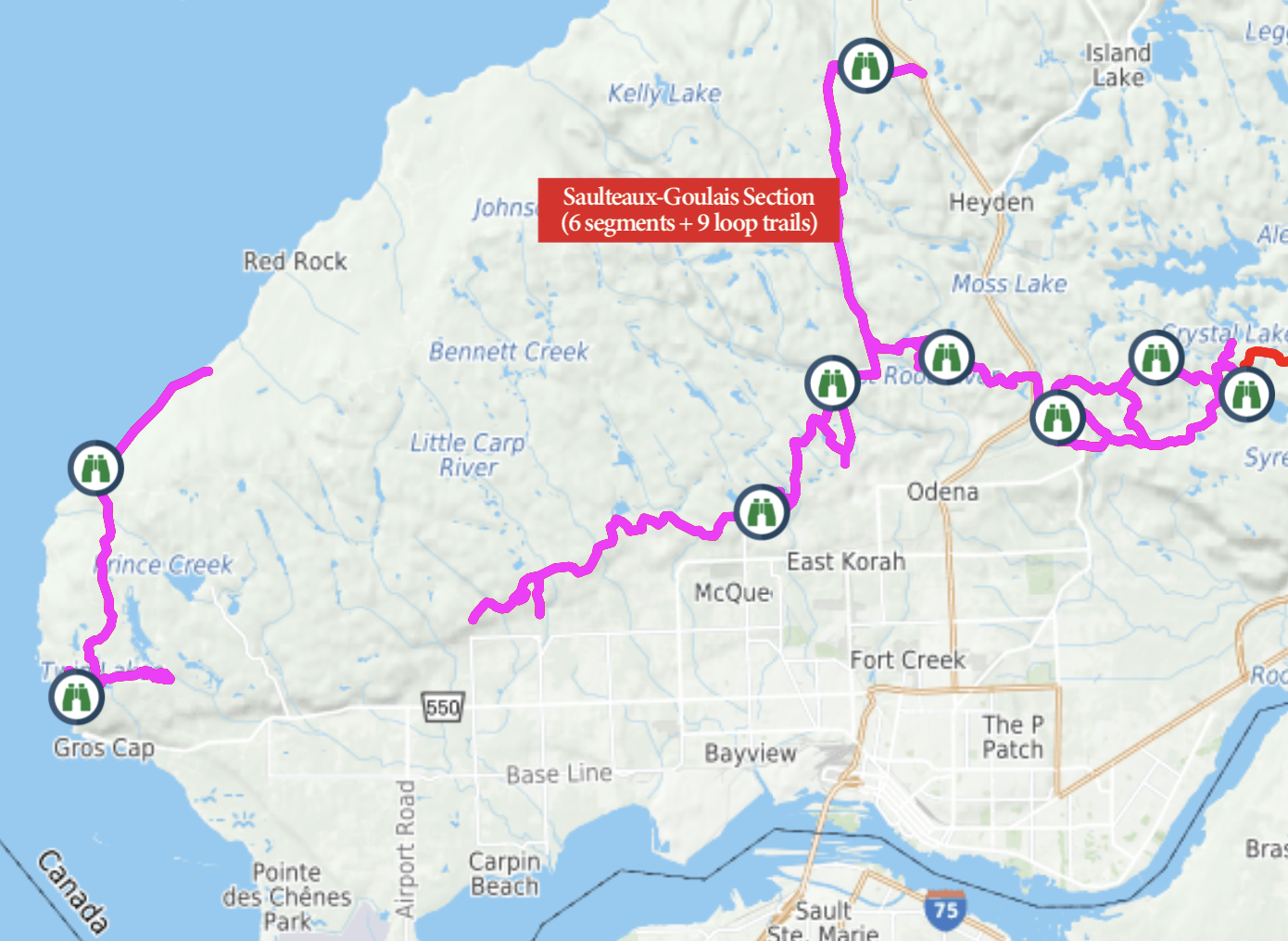
Nine loops adding up to 26 km of trail make up this section of the VT. Beautiful lookouts and lakefront views can be spied on these loops. Several other features such as waterfalls can be found on the linear trails as well, with a more in-depth trail map you’d be able to see which could be done in day hikes for ease.
40 km and six linear trails can also be found in the Salteaux-Goulais Section. The entire section would take someone 42 hours to complete, so you’d have plenty to do in this area alone!
Loop Names: Walls Lake Loop, Crimson Ridge Loop, Jewelweed Loop, Odena Loop, Hiawatha Loop, Beaver Loop, Mabel Lake Loop, Gros Cap Loop, and one small unidentifiable loop from the map east of Walls Lake Loop.
Trailhead: Off the beaten path, but good directions.
Rating: Moderate to Difficult
Bonuses: Coastal and inland trails found in this section
Section Duration: 42 Hours
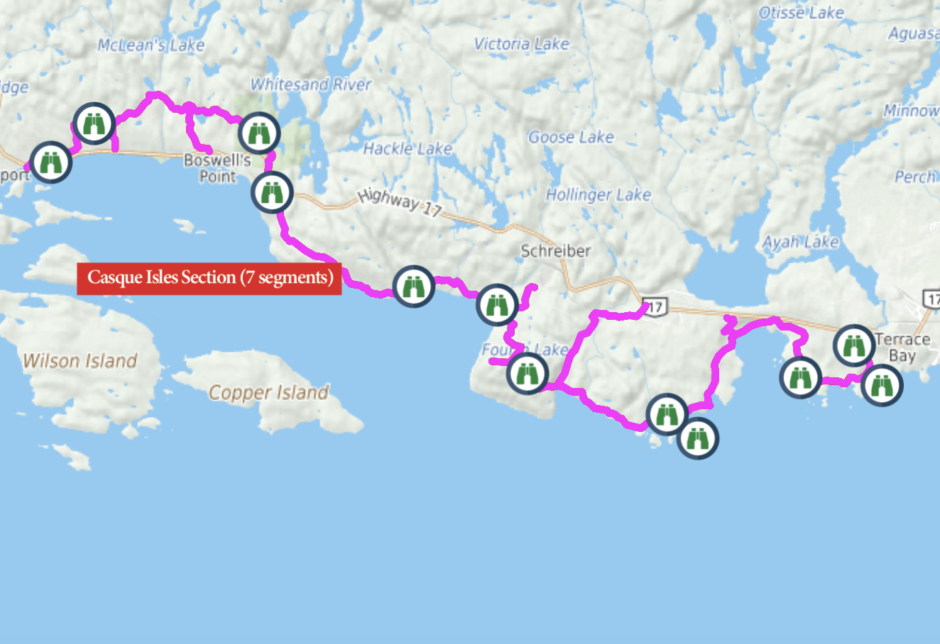
- No loop trails, but navigable walk-in/out sections.
- All access points are off of HWY 17 or nearby communities and easy to find. Linear trail from Rossport to Terrace Bay.
- Highlights include Aguasabon Falls, Hanging Ledge, Schreiber Beach and many more Superior views.
Trailhead: Easy access
Rating: Difficult
Bonuses: 7 Access points for multiple in/out walks
Section Duration: 34 Hours
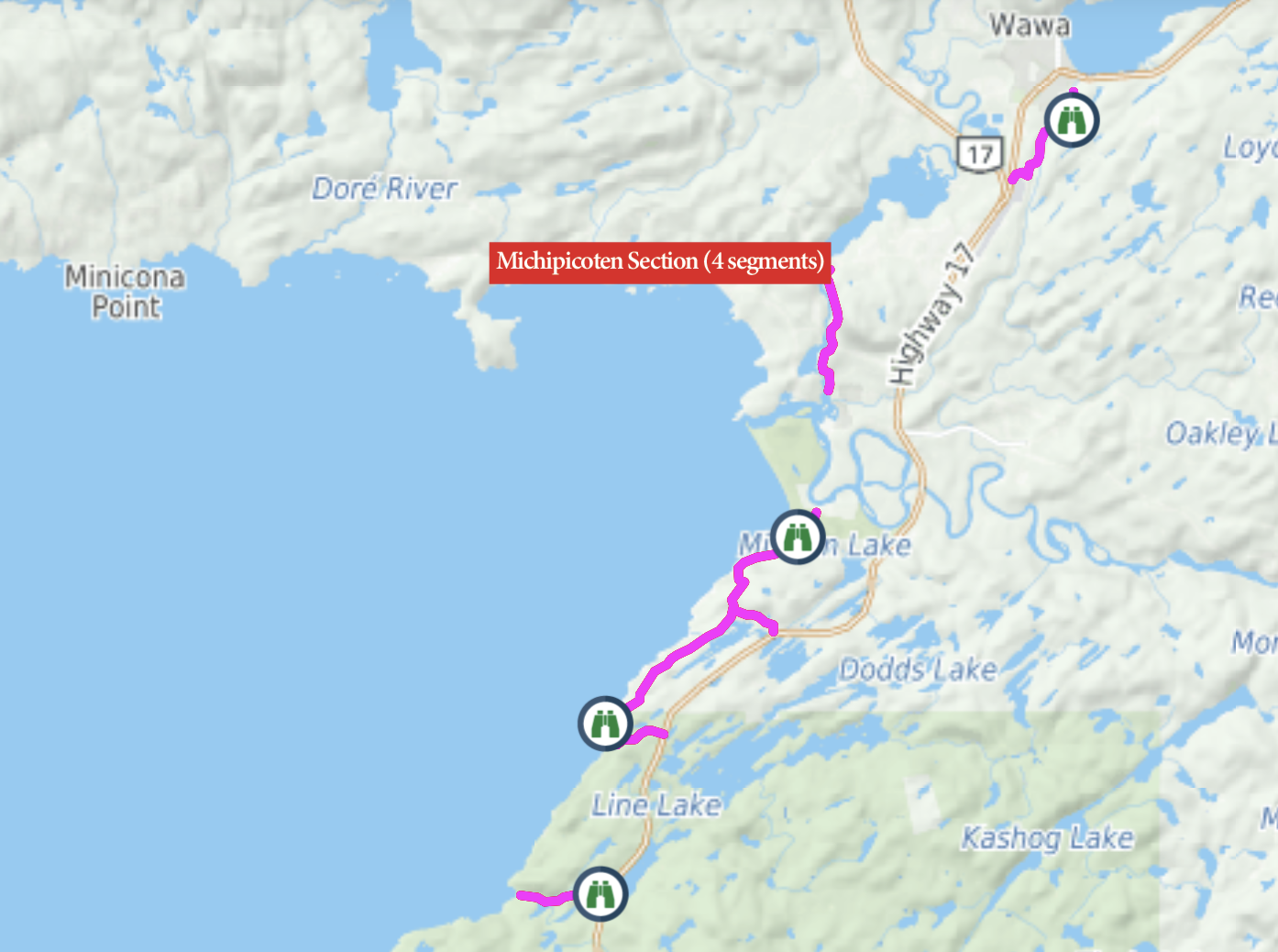
- 13.9 km of linear trail
- Easy access points
- Highlights include Driftwood Beach Lookout and Smoky Point Camping Area.
Trailhead: Easy
Rating: Moderate to Difficult
Bonuses: 4.1 km worth of additional spur trails
Section Duration: 9 Hours
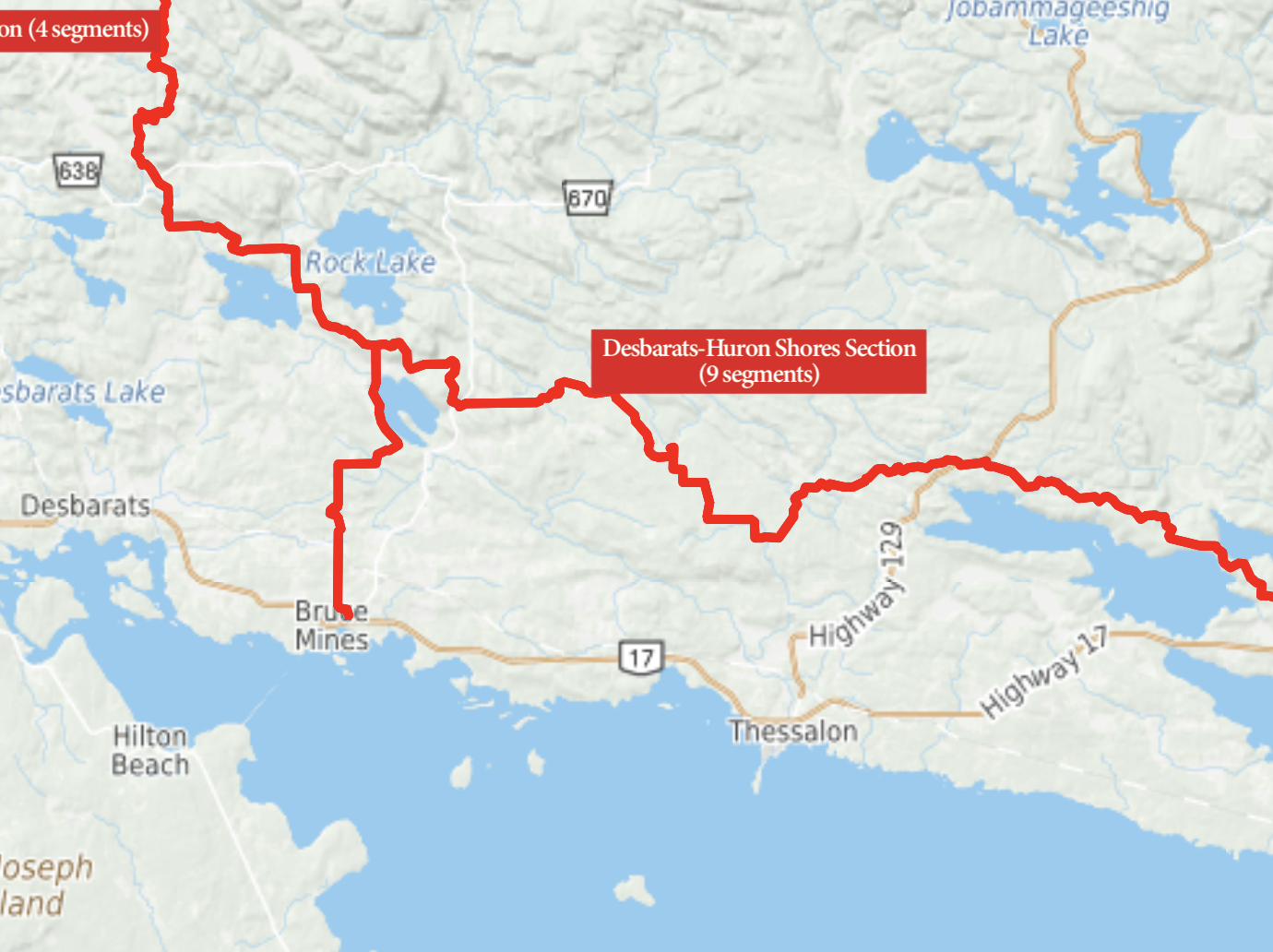
- 9 Segments
- Some trails follow logging roads
- Explore the Kirkwood forest planted in the 1920s
- Highlights also include Tea Lake, Shaw Dam and Mississagi River
Trailhead: Easy
Rating: Moderate to Difficult
Bonuses: Longest section to complete; you could explore this area for a while.
Section Duration: 47 Hours
The trails are maintained by incredible volunteers, and quite actively. Although the trails are well marked, you can view more detailed maps as a member of the Voyageur Trail Association, and you’re also supporting a great and growing cause.
Some of the trails have clubs for their sections, such as the Nor’Wester Section or the Casque Isles Section. You can do more research, chat with members, follow their social media pages and learn how you can help out while you’re enjoying the trails. Something they may suggest is bringing a small trash bag with you so you can toss your own garbage out and whatever you find as well. Leaving something better than you found it is a great feeling.
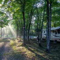
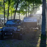
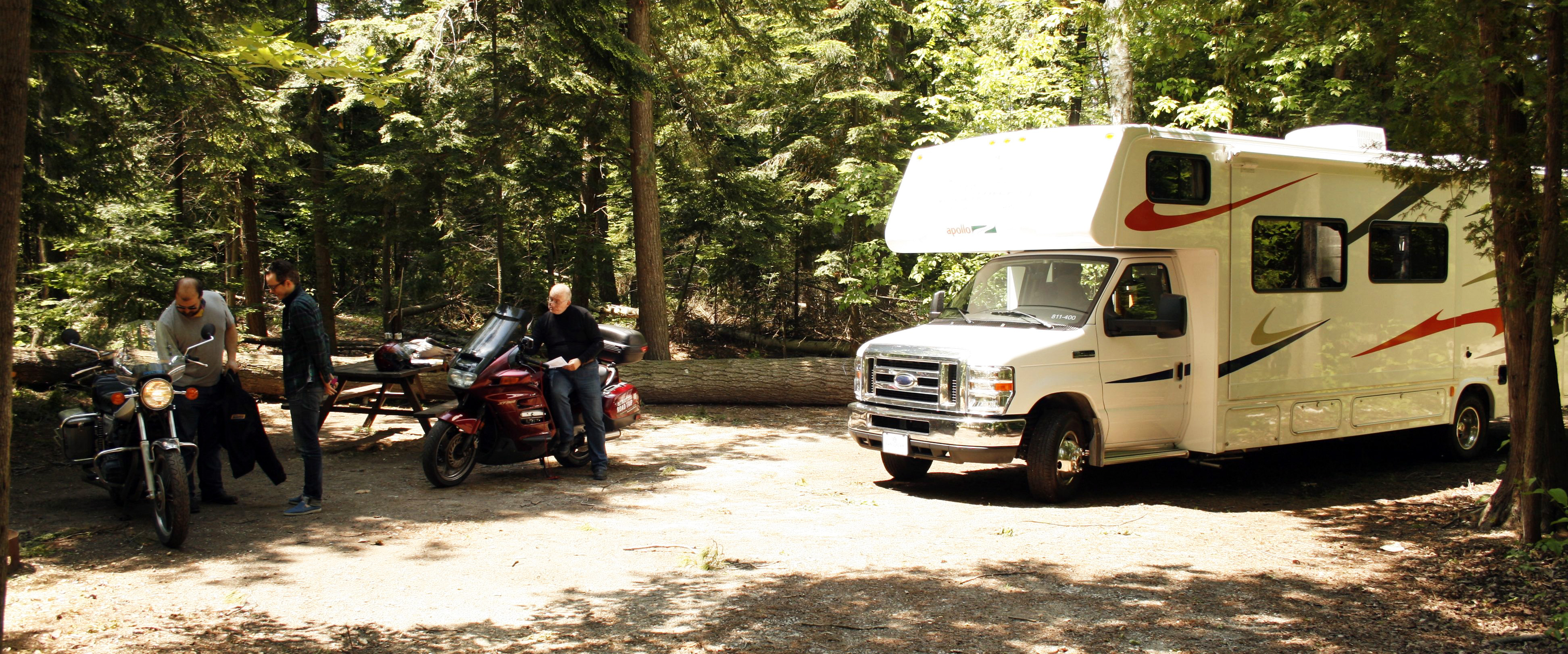
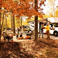
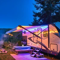
Finally: though there's plenty of crown land near a lot of trailheads, it's nice to have your RV’s facilities in working condition. Here are some campsite options that are near trailheads, so you can set up a comfortable home base before you head out.
Stillwater Tent and Trailer Park: Nipigon, Ontario near Nor’Wester Section
Rainbow Falls Provincial Park: Rossport near Casque Isles Section
Stop Along the Way Campground: Schrieber near Casque Isles Section
Wawa RV Resort and Campground: Wawa near Michipicoten Section
Harmony Beach Lakeview Resort: Goulais River Near Harmony Stokely Section
Blueberry Hill Campground: Goulais River Near Harmony Stokely Section
Mark’s Cottages and Campground: Sault Ste. Marie near Salteaux-Goulais Section
KOA Sault Ste. Marie: Near Salteaux-Goulais Section
Ojibway Park: Garden River, near Echo Ridges and Salteaux-Goulais Sections
Bell’s Point Beach Campground: Garden River near Salteaux-Goulais and Echo Ridges Sections
Puddingstone Harbour: Bruce Mines near Desbarats-Huron Shores Section
Fred’s Tent and Trailer Park: Richard’s Landing near Desbarats-Huron Shores Section
Otterhead Cabins and Campground: Bruce Mines near Desbarats-Huron Shores Section
Rock Lake Resort: Leeburn near Desbarats-Huron Shores Section
Brownlee Lake Park: Thessalon near Desbarats-Huron Shores Section
Viking Tent and Trailer Park: Iron Bridge near Desbarats-Huron Shores Section
The Yellow Butterfly Trading Post: Iron Bridge near Debarats-Huron Shores Section
Lake Matinenda RV Park and Marina: Blind River near Penewobikong Section
MacIver’s Motel and Campground: Blind River near Penewobikong Section