
The Complete 2026 List of RV Shows in Ontario
Add these RV events to your calendar.
By Celeste Percy-Beauregard


Here’s the secret about The Seven– it’s not as far away as you think. I think that’s one of the biggest takeaways from my recent RV trip in the Timiskaming region. It’s close enough for a long weekend getaway, and perfect for a week or week-plus trip. There’s endless potential for hiking, boating, watersports, fishing, RVing, or motorcycling. It’s a doorway into the adventure of the Ontario you probably didn’t know, and a lens into the historic waterways that have been relied on for sustenance since time immemorial, and which shaped the early colonial history of what is now Canada.
The name "Timiskaming" (also “Temiskaming”) derives from the Algonquin term "Temikami" or "Temikaming", which means 'deep open waters'. Similarly, "Temagami" shares the same linguistic roots. Lake Timiskaming is part of the Ottawa River system and stretches from near Temiscaming, QC, where Ontario Highway 63 crosses the Ottawa River into Quebec, broadening north to Temiskaming Shores and Notre Dame du Nord where the northern section of the Ottawa River flows into the lake.
The Ottawa River (French: Rivière des Outaouais, Algonquin: Kichi-Sìbì/Kitchissippi) is a historically and ecologically relevant river straddling the provinces of Ontario and Quebec. Its current name originates from the Algonquin term for 'to trade', as the river was a key trade artery in the history of Eastern Canada. It is a crucial tributary to the St. Lawrence River and originates from Lac des Outaouais in Quebec before flowing through Lake Timiskaming. There, it begins to define the interprovincial boundary and meanders southeast to Ottawa and Gatineau, cascading over the Chaudière Falls and joining the Rideau and Gatineau rivers.
The river holds immense significance for the Algonquin people. The Algonquin's identity is deeply tied to the watershed, and they often describe themselves as the Omàmiwinini or 'down-river people'. The entire Ottawa Valley remains their ancestral territory.
After the Ottawa River’s charting by Samuel de Champlain in 1613, it became an important thoroughfare for French voyageurs and coureurs des bois trading manufactured goods for beaver and other pelts which were in high demand in Europe. Key trading hubs along the river included Lachine, Fort Coulonge, and Mattawa House, with a notable portage from Lake Timiskaming to get to the river north to James Bay.
My recent trip, penned here as the “Timiskiming Lake Loop,” took me and my friend Ben north from London, ON, through Barrie onto Highway 11, past Huntsville and North Bay. It’s when you pass North Bay and enter, into the Temagami area, that the highway loop around Lake Temiskaming, and through Haileybury and Temiskaming Shores begins.
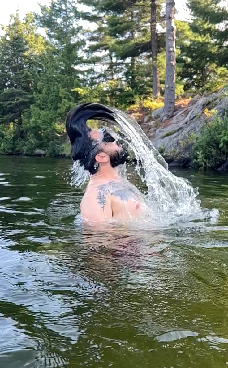
We took 5 days for our trip, to get on and into the water for as many paddleboarding sessions and swims as we could, while also checking out the different towns and sites along the way. Here’s how we split it up and some recommendations for when you’re out exploring the region. I’ve also included all the places I ate fries as well as everywhere we went swimming or did some sort of watersport along the way!
📏595 km
⏱️6.5 hrs
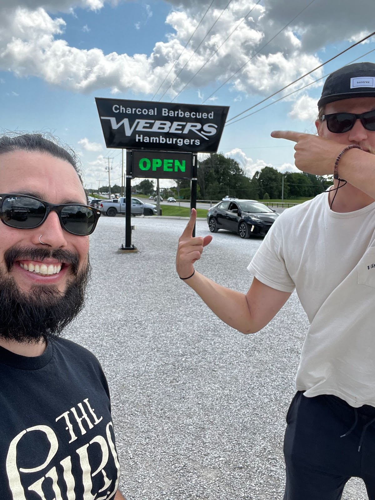
🍟 Webers, Highway 11 + The Boat, North Bay
🌊 Trout Lake + Lake Temagami
🛌 Finlayson Provincial Park, Temagami
Our longest day of driving. We leave early from London and take backroads until we’re north of Barrie. It’s not that it’s any faster than taking the 401 and 400 (it’s actually slower most of the time), but it’s definitely a nicer drive and my preference whenever I have the time. We stop at Webers for a late lunch soon after getting on Highway 11. In some feat of marketing, they’ve managed to quintessentially capture the idea of lunch or dinner there being one’s gateway to the north. The food itself is nothing special (am I allowed to say that?), but they definitely still manage to provide an experience– as you line up to pass through their doors and pick up your food, the bustle of the open kitchen and efficiency of the operation at scale on a busy afternoon remains unique to this day.
From Webers, we get back on the highway to North Bay. The arcs of shield granite that the highway is cut through only get bigger the further north we get, and as late afternoon sets in, the curves stretch through forest and lake.
Once we arrive in North Bay, we head to Birchaven Cove Park for a swim, featuring a sandy beach and rocks to jump off, as well as a nice view out across the Trout Lake. After cooling off, we move the trailer to the North Bay Marina on the city’s Lake Nipissing waterfront. We have dinner at The Boat, another Ontario classic. I'll wholeheartedly agree with anyone who cares to ask that the location could not be better—on a sunny day, it’s worth the lunch or dinner stop for the view alone.
After dinner, we finish the final leg of our route for the day with a short drive north to Finlayson Point Provincial Park, near Temagami. There aren’t many campsite options here if you’re pulling a long trailer or driving a bus, but for a van or short trailer, there are non-plugin sites that will fit you. A few are even pull-through. You can scout this out using the campsite photos when making reservations on the Ontario Parks website.
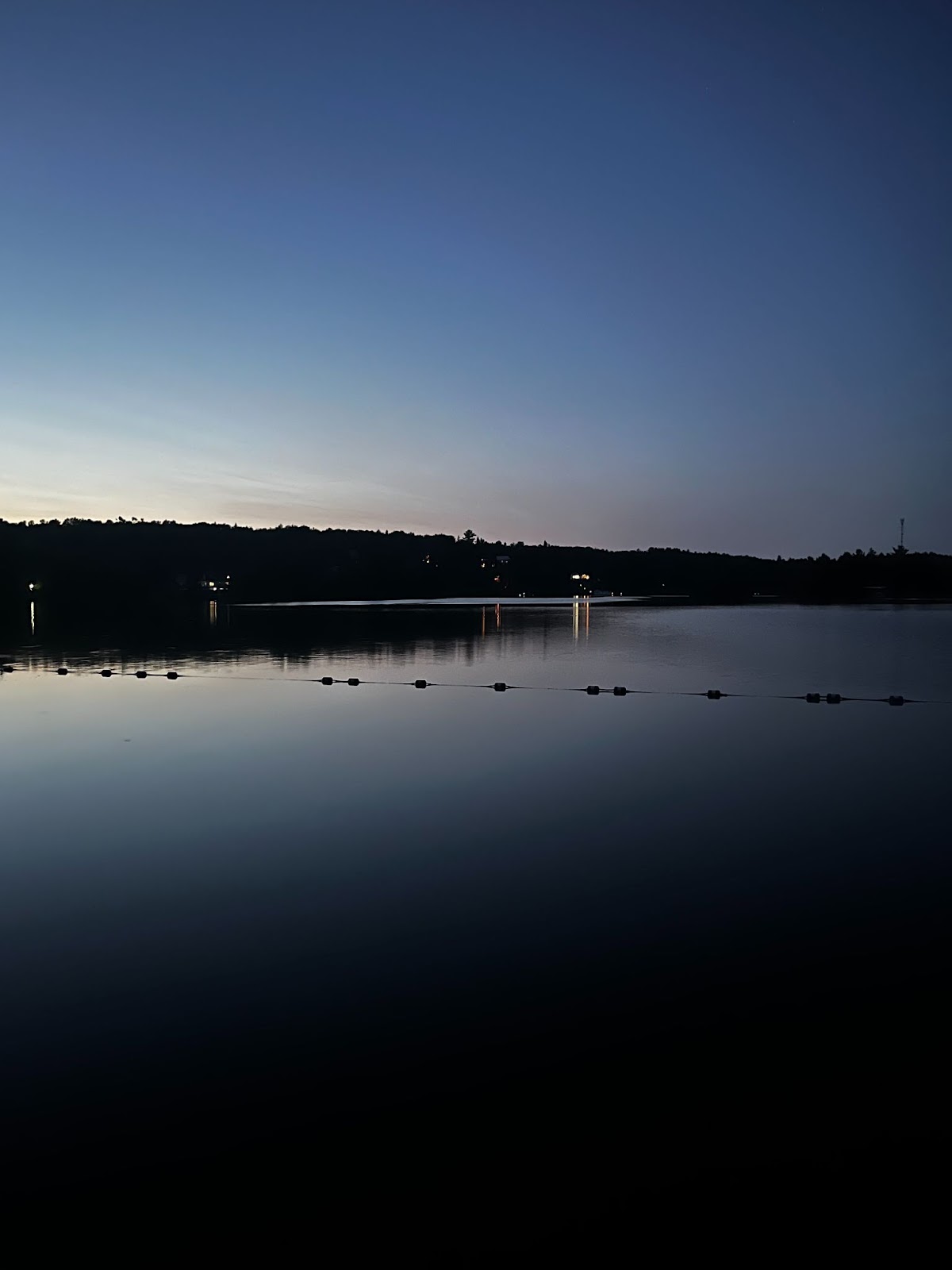
There are a few different swimming options from near the campground, so we do one more dip to rinse the road off before calling it a night.
📏80 km
⏱️1 hr
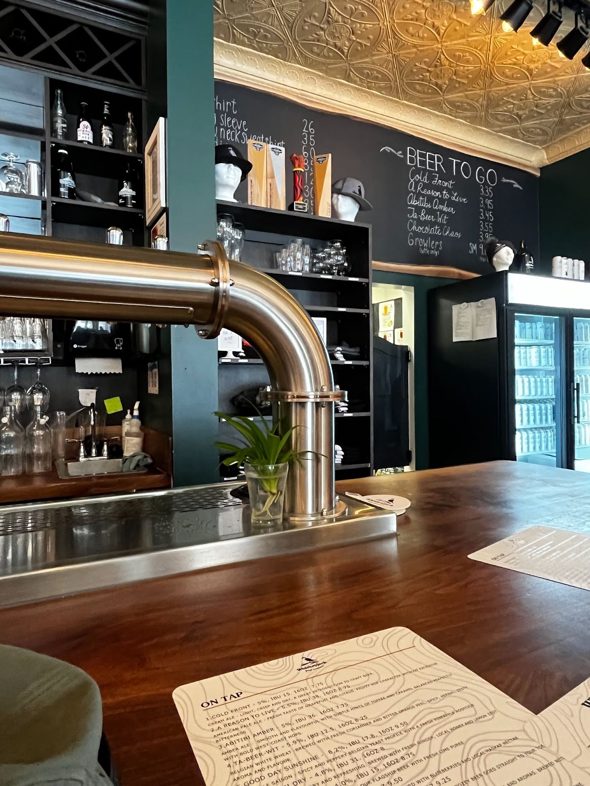
🍟 Whiskeyjack Brewing, Haileybury
🌊 Lake Temiskaming x2
🛌 Sutton Bay Park, Temiskaming Shores
We leave Finlayson Provincial Park late morning and drive north on Highway 11 until it forks with 11B, which we take right, heading towards the lakeshore. If you’re taking your time with the drive, it’s worth stopping in the historic silver mining towns, Cobalt and Cobalt North on your way to Haileybury, the first stop in the district of Temiskaming Shores. Haileybury is on the shore of Lake Temiskaming, a quaint waterfront community with a lifeguarded beach area and waterslide, as well as one of the best Canadian craft beer experiences I’ve had.
Whiskeyjack Beer Company unique beers on tap at their brewery the day we dropped by. I’m not normally someone who likes everything I try, or even all types of beer, but that day I did. The place itself is clean, bright, and open with wood-detailed high ceilings and a hightop corner bar that spans the brew-space on one side and the taps and fridges on the other. Luc Johnson, one of the owners of Whiskeyjack and head brewer there happened to be in while we were there. A former homebrewer, Luc took a risk, deciding to quit a stable and well-paying job to launch Whiskeyjack when he started to get the feedback from his friends and family that he was onto something with his beer. That was in 2017. Today, Whiskeyjack is in LCBOs in Northeastern and some other parts of Ontario, and pouring all through the 705. We also had fries there–– part of our fry tour of Northeastern Ontario. 10/10. I highly recommend giving them a visit, and if you’re a beer person, even making it a reason to go to Haileybury when you might otherwise not.
After some walking around and a few errands picking up supplies for dinner, we headed back down to the waterfront and went for a dip in the river before getting back on the road to New Liskeard. There, we walk the town’s waterfront boardwalk along the beach with stunning views down the length of Lake Temiskaming. It’s also the first place we inflate the paddle board and head out off the shore onto the water where we’re able to look back on the waterfront of the town and further along the shores on either side, at the basin of the lakes northern lowlands to the north and east along the shore, and at the steepening and narrowing shorelines to the south where the lake begins to narrow.
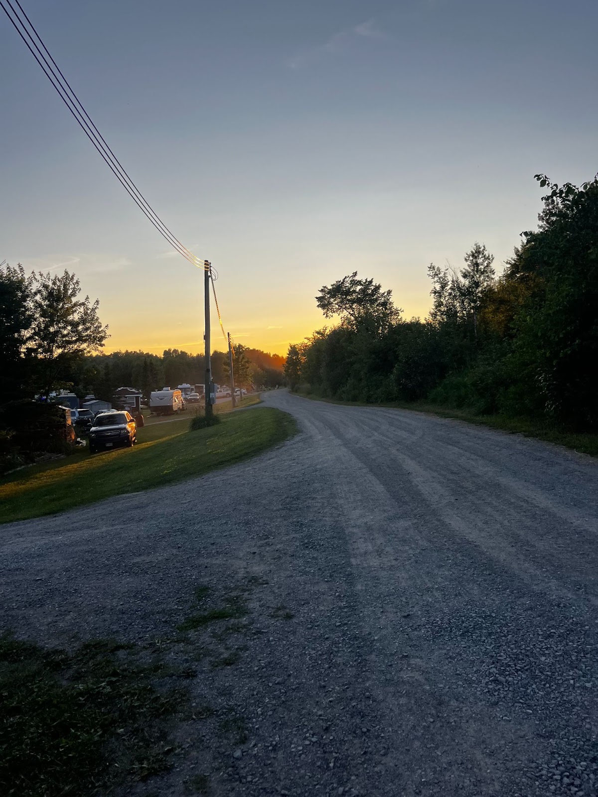
We camp at Sutton Bay Park, east towards the border with Quebec. It hosts a bilingual community and sits on the shores of the lake with shallow waters stretching far off the park’s shoreline and a strong established community along with room for newcomers, seasonal visitors, and passers-by like us. Once a year Sutton Bay Park hosts Country Fest in late July, a country music festival that attracts thousands of visitors from the surrounding area for a weekend of music and dancing.
📏 122km
⏱️ 1.5 hrs
🍟 no fry day
🌊 Lake Temiskaming x2
🛌 Parc National d’Opemican, Quebec
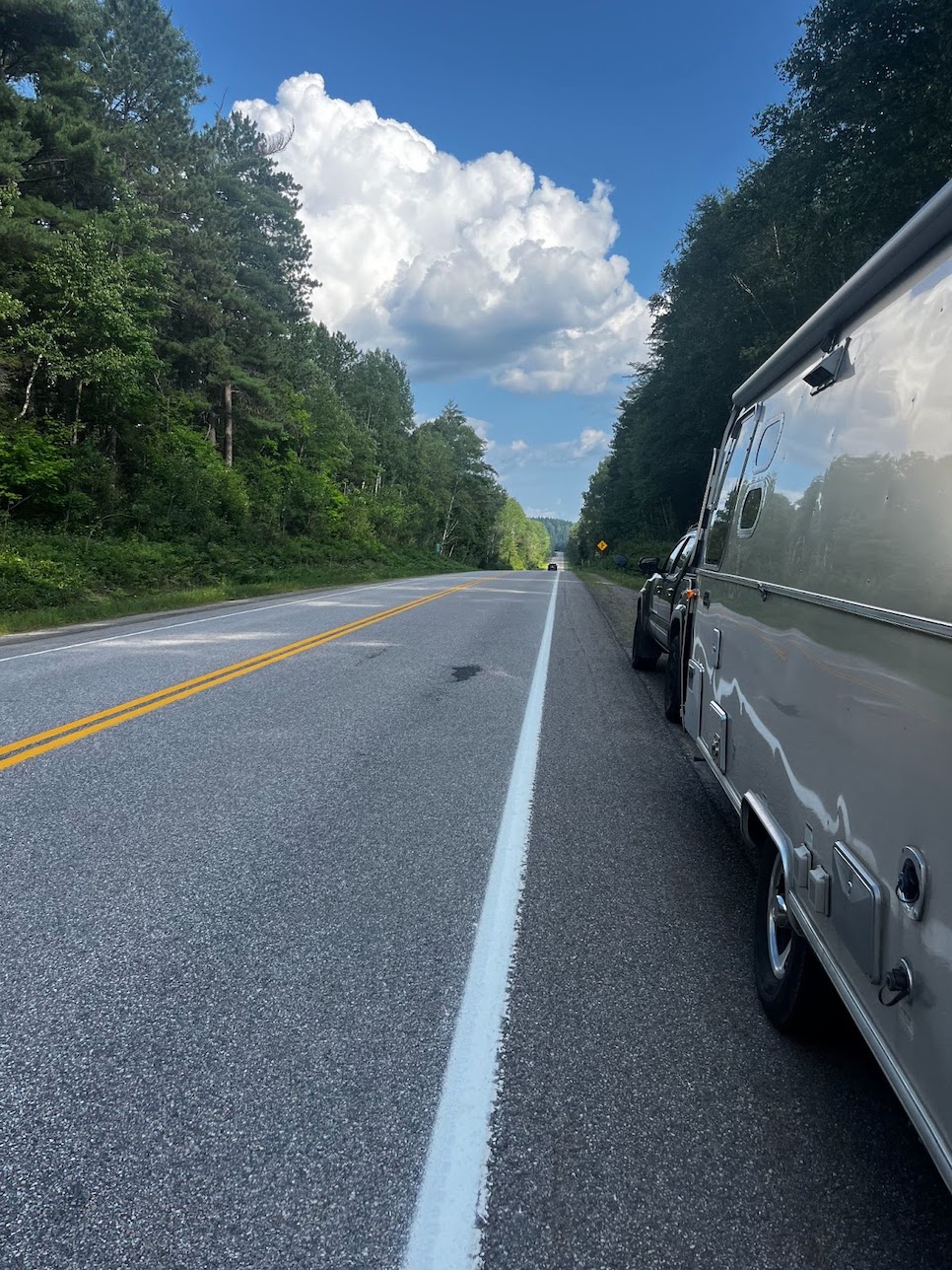
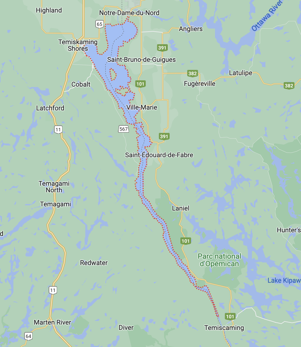
Our hump day is our quiet day as far as tourist destinations. We exit Highway 11 onto Highway 65, then head east and over the top of the lake and into Québec before following Quebec Highway 101 south along the Eastern Shoreline of the Ottawa River. It’s pastoral farmland and rolling hills of both field and forest for the early part of the day. We stop for a swim and paddle at Saint-Édouard View Park on the side of Highway 101. This is a beautiful stretch of river where if you have a canoe, kayak, or paddleboard, you can venture out and see the landscape rise to sheer granite cliffs. We camp further south in Parc National d’Opemican, making sure to squeeze another swim in before bed.
📏 104 km
⏱️ 1.5 hrs
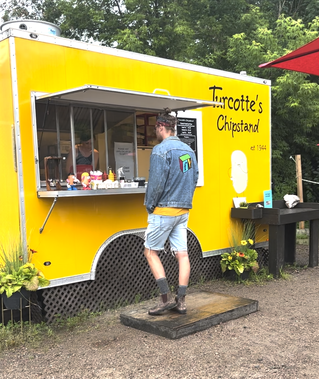
🍟 Turcotte Fry Stand, Mattawa
🌊 Mattawa River
🛌 Sid Turcotte Park, Mattawa
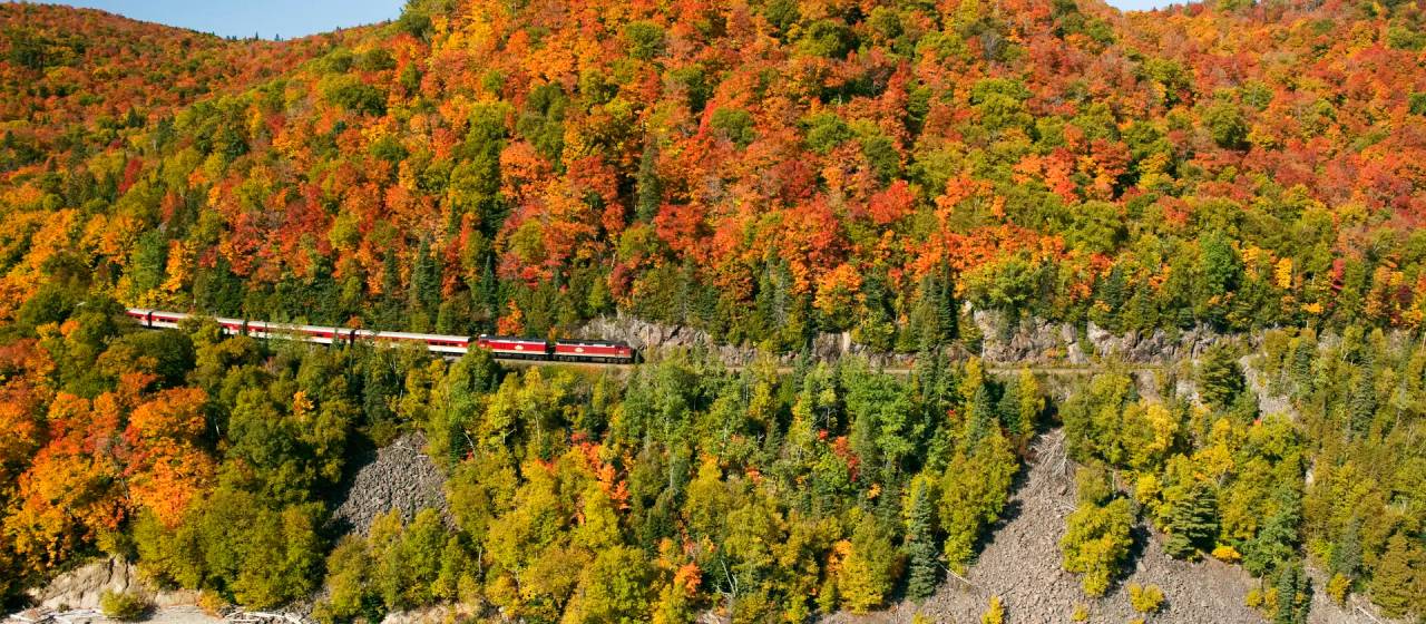
From Parc National d’Opemican we head south to Temiscaming, QC, where we cross the river back into Ontario. After driving south only a shortwhile on Ontario Highway 63 west, we diverge onto the 533 to Mattawa. The weather is moody on the drive and stays that way as we enter Mattawa and pull into the marina parking lot to make a plan for what to do. Out in the distance across the lake is a railway bridge constructed in a style I’ve never seen before.
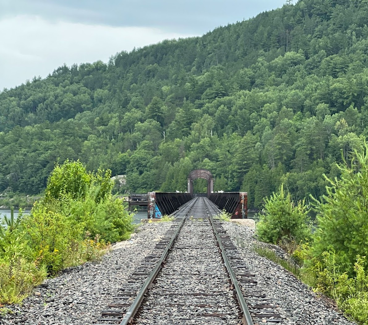
Of course, walking out onto the bridge is our first activity, picking wild raspberries along the tracks on the way out to it. Google tells us that this is one of only a few examples in Canada of a very rare European-style truss bridge with arched overhead bracing and low-level top chords. When the rain gets heavier we abandon the exploration and go in search of food. Turcotte’s Chip Stand has been operating for 78 years now and is a three-generation business, now run and operated by the grandson of the original owners and his wife. It lives up to its reputation and served out golden, crispy, hot fries on a grey, wet, and cold day.
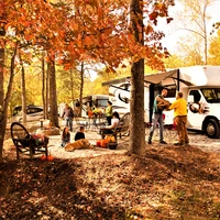
After lunch, we check into our campsite — a riverfront spot at Sid Turcotte Park, nestled on the bank of the Mattawa River on the edge of town. The park features an assortment of playgrounds, volleyball courts, and sandy beaches with well-spaced spots amidst large trees. The lady at the desk suggests we check out The Eau Claire Gorge as well as the Pimisi Picnic Area on the shore of the Mattawa River right off Highway 17.
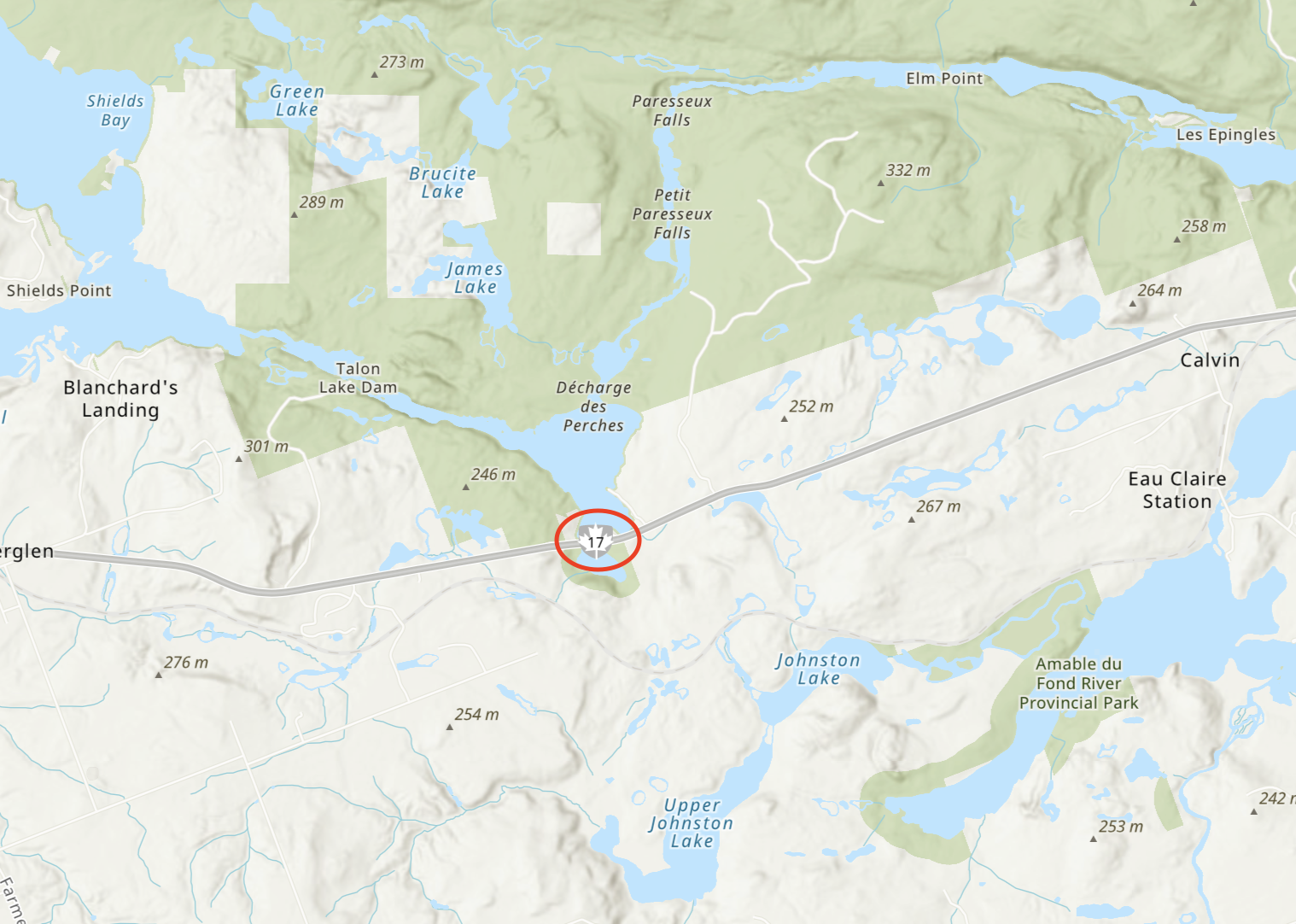
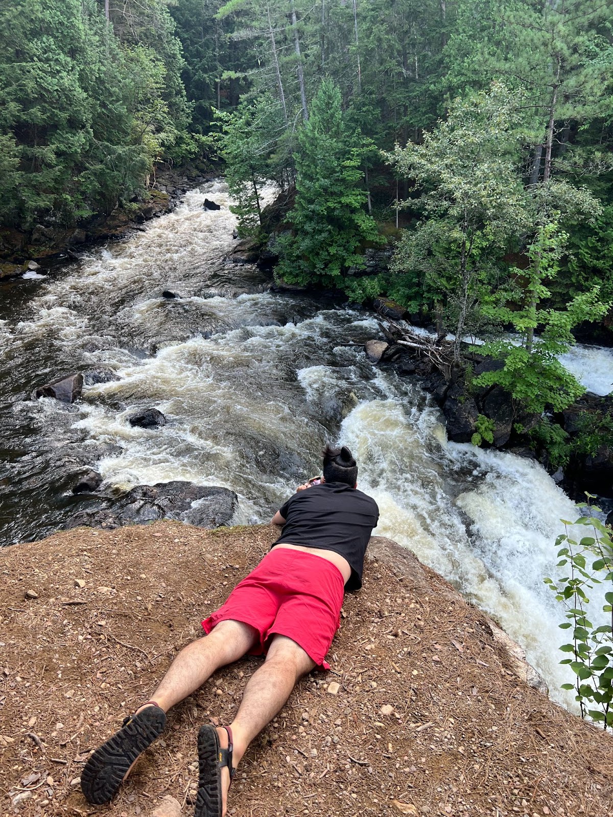
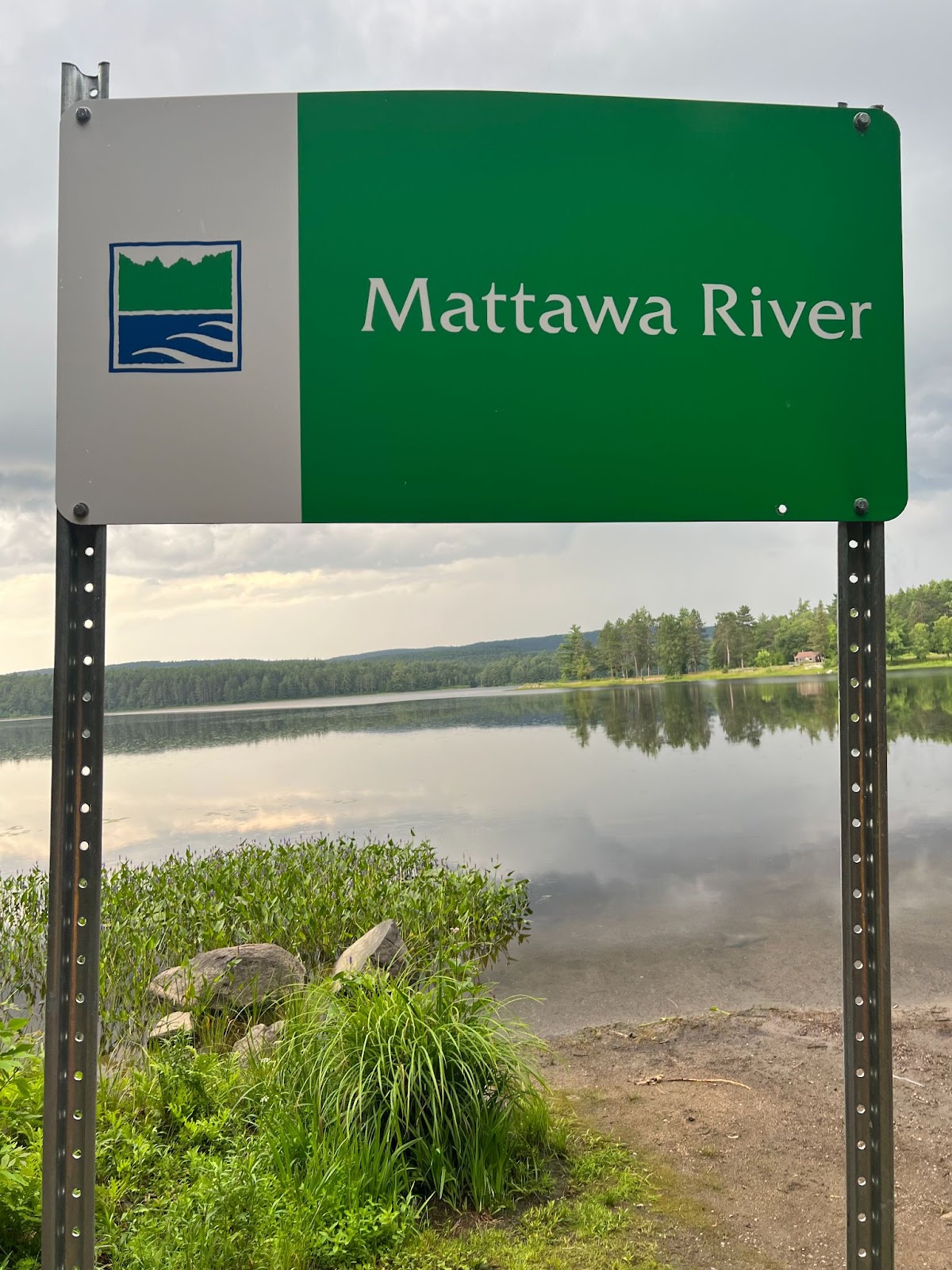
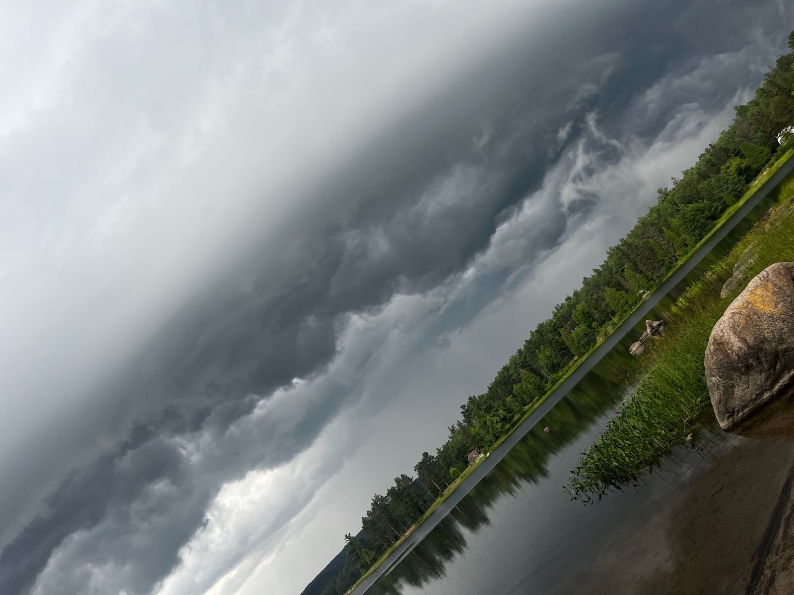
The Eau Claire Gorge Conservation Area is about 20 minutes outside of Mattawa and contains a series of hiking trails and loop options with views of the gorge and steep, gushing waterfalls. It was worth the stop and was unique from the falls on the river we'd visit the next day. On the drive back to Sid Turcotte Park, we stop on the shore of the Mattawa River at Pimisi Picnic Area and watch a storm roll over the water. It’s not safe weather to paddle in, so we just watch the dark cloud tumble and billow.
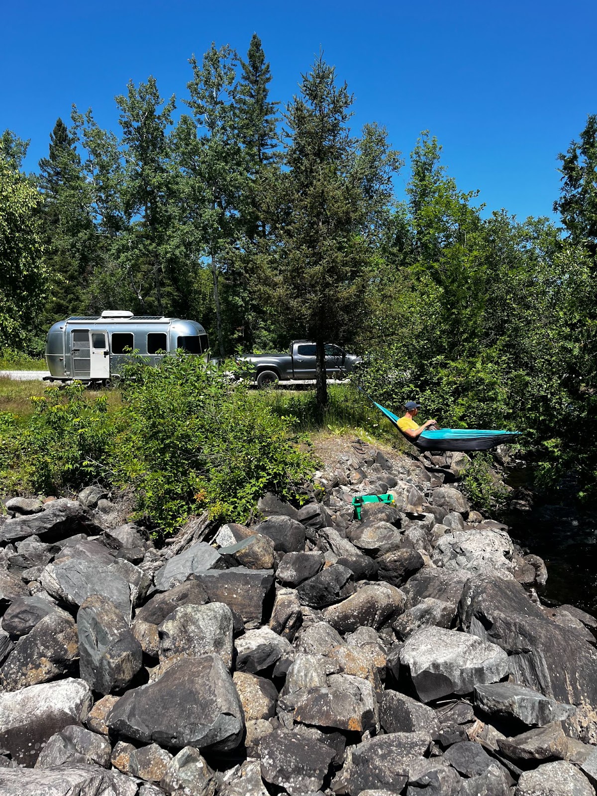
The change of weather calls for an early night, but not before a game of cribbage in the airstream while rain patters on the roof. These are the moments when I most appreciate not being in a tent.
📏 544 km
⏱️ 5.5 hrs
🍟 The Block Public House, North Bay
🌊 Mattawa River
From Mattawa, we turn west back to North Bay along the Trans Canada, Highway 17, following the Mattawa River. Like the Ottawa River, the Mattawa is a historic waterway and was pivotal in the early European settlement of Canada. It connects Lake Nipissing to the Ottawa River, part of the canoe route heavily used for passage and trade between what is now northern Ontario and the Saint Lawrence River.
The road rolls, rises and descends. We stop at Samuel de Champlain Provincial Park and swim in the Campion Rapids, then press on to North Bay. Before lunch, we spend an hour exploring Duchesnay Falls, a beautiful set of cascading waterfalls on the west side of town. There is limited RV parking, but if you can get a spot, it’s worth spending more time here than we were able to. For lunch, we headed to The Block Public House on Main Street, a recommendation from a North Bay friend. The food was very good, the cocktails excellent, and the space itself had a cool atmosphere with high ceilings and a long exposed brick wall.
After cheersing to a trip well done and eating our meals, we hit the road one last time, this time taking the 400 South from Barrie and then the 401 West back to London.
For more perspective on my trip, check out the below video: