Taking the Path Less Travelled in Mashkinonje Provincial Park
If you want to feel like you are taking the path less trodden and get a sense of what hiking in Northern Ontario bush is really like, head to Mashkinonje Provincial Park in the West Nipissing area. A relatively small park sandwiched between Highways 64 and 17 and the West Arm of Lake Nipissing, this is a place where you’ll be walking where moose walk, blueberries grow, and beavers build their lodges.
Mashki-where?
Although I am somewhat familiar with the West Nipissing and French River areas, I had never heard of Mashkinonje until the opportunity came up to explore some of Northeastern Ontario’s lesser-known trails. I soon learned that the park has over 22 kilometres of trails, which begged the question of which we should hike.
After doing a little research, Henk and I decided we wanted to see water on our hike, so we decided to do half of the Martin Pond loop Trail and hook up with a piece of the Pebble Beach trail. This combination seemed to offer the best of both worlds: Martin Pond suggested a tranquil marsh; Pebble Beach promised views of the West Arm waterway. Both of these trails were loops, so we could even take different routes back to the trailhead if we chose, offering the chance to hike through different terrain.
Bushwhacking without getting lost
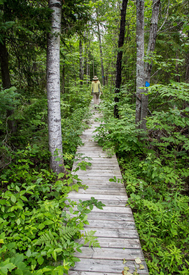
We had just parked the car when Henk and I could immediately see that the trails we had chosen were not well-groomed, but we located the first marker for the trail to Martin Pond and set out regardless. We found ourselves climbing over fallen trees, hopping over little creeks, and wading through chest-high ferns where we couldn’t see where we were placing our feet.
But as overgrown as the trails were, as we bushwhacked our way through, we never worried about getting lost, as the trails themselves were well-marked with blue blazes visible every 50 feet or so. Just when we thought we were hiking "where no man had gone before," a boardwalk appeared in the middle of nowhere, running for a hundred yards or so through the forest. As incongruous as it seemed, it was a welcome surprise.
If you come at the end of July, come hungry
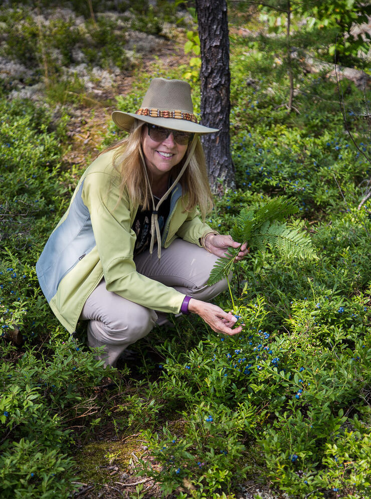
Mashkinonje had another surprise in store along the trail: blueberries! Our hike coincided with the peak of blueberry season (end of July), and this year there seemed to be a bumper crop in this part of Ontario. In fact, if Henk and I could easily have picked enough for a couple of pies in no time, had we brought along containers. There were wild raspberries along the trail too, but they were nothing compared to the blue bounty.
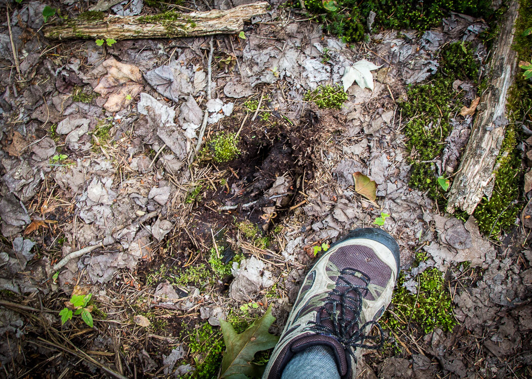
It seemed we weren’t the only blueberry fans here, as we saw evidence on the trail that other blueberry pickers had been here (i.e. bear scat). We also noticed a few "business cards" left by moose who clearly use the same path we were on—all of which meant there was a chance we might encounter wildlife here, not just wild blueberries. We weren’t too worried, since I do my best to make sure animals hear us coming!
Martin’s Pond
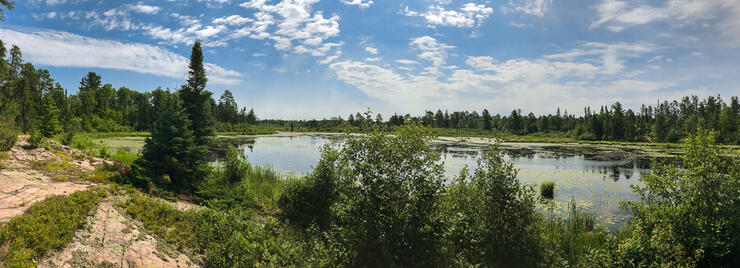
Although the Martin Pond trail was somewhat overgrown, we arrived at the marsh, and I found a bench perched on some rocks—perfectly placed to give me a sunny, breezy spot to enjoy the view out over the pond. There were plenty of lily pads and flowers, and even a beaver lodge, making it a good spot to take a few photos before continuing on to meet up with the Pebble Beach Trail.
Pebble Beach Trail
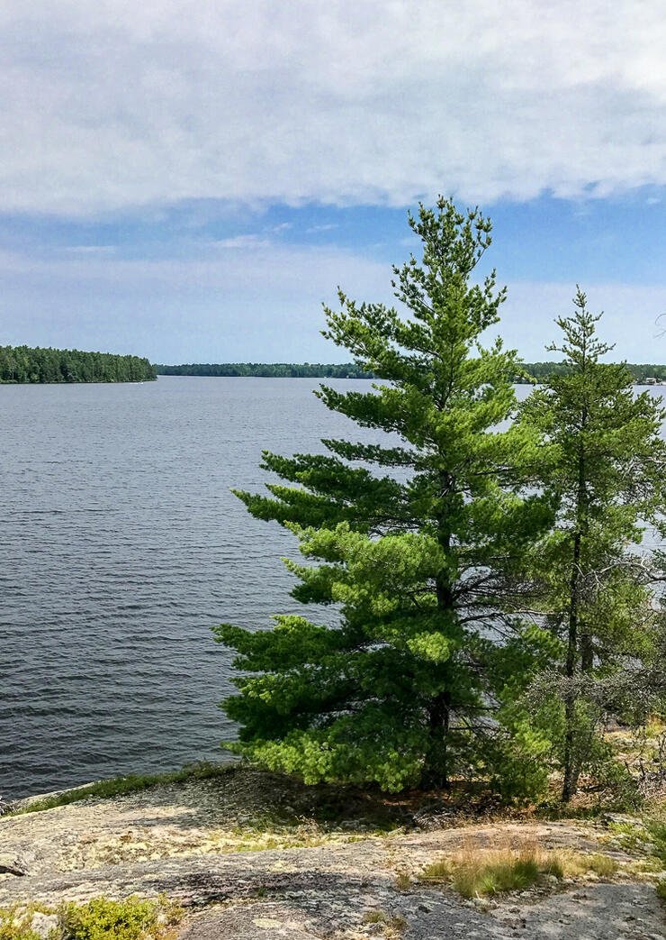
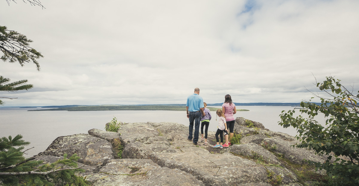
The meeting point with the Pebble Beach trail was well marked with blue blazes and signs, so Henk and I had no trouble hooking up with the right trail. It wasn’t long before we got our first view of the West Arm waterway through the trees. A little farther on the trail we reached a high point along the rocky shore where we stopped to take advantage of the view and the breeze off the water.
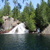
Looking out at the landscape here, it’s easy to see how these views inspired the Group of Seven’s palette: dark green pine trees were growing right at the water’s edge beside pink granite rock smoothed by the passage of glaciers. As I walked near the shoreline, grey-green lichen crunched underfoot.
Fresh Tracks on our Return
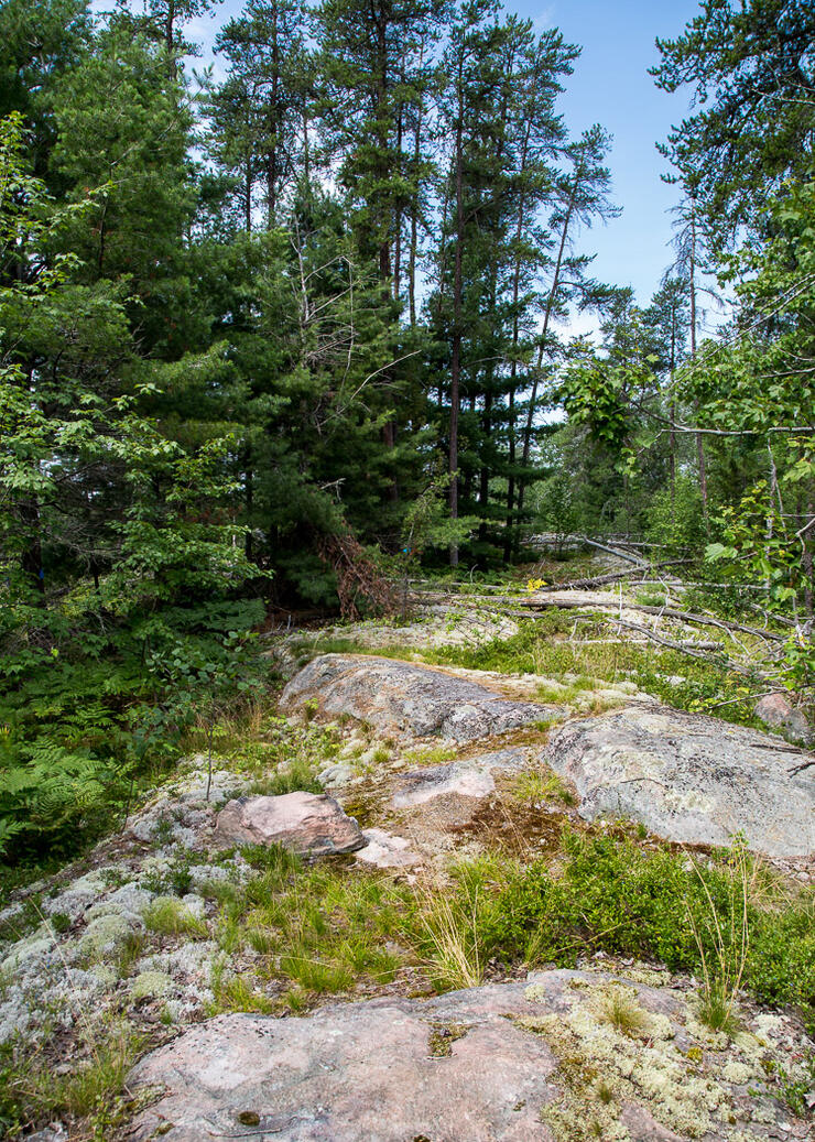
Even though we had only covered a small piece of Pebble Beach Trail, Henk and I decided to turn back since we wanted to keep our hike to around 6 kilometres. We decided to retrace our steps back on the original trail, which turned out to be a decision that gave us a third surprise: halfway back to the trailhead we spotted fresh moose tracks that were not there an hour earlier!
Even though the trails here at Mashkinonje looked like they hadn’t been hiked in some time, we weren’t the only visitors taking the path less travelled that day.
PRACTICAL INFORMATION
MARTIN POND ACCESS POINT: From Highway 69, take Highway 64 east past Noelville. Continue on 64 past the sign for Mashkinonje Provincial Park, until you see Musky Island Road on the left. Take Musky Island Road for about 1.5 kilometres, then go left onto a small but passable road that takes you to the Martin Pond trailhead, where you can park your car.
FACILITIES: There is a trailhead sign here with a map of the trails, but there are no other facilities.
DIFFICULTY: 3 The trails we took were not too hilly or strenuous, but they were not well maintained, and you need to watch your footing. Proper hiking footwear is recommended.
Recommended Articles
The Seven's Best Hikes, Biking Trails and Lakes

7 Best Spots to Check Out in The Seven

Budget Bliss: Explore Northeastern Ontario Without Breaking the Bank

Bring Your Fam!

Time to Unwind: 6 Spa Havens to Discover In The Seven
5 Amazing Places to SUP in Northeastern Ontario

5 Amazing Bike Rides to Discover

Northern Lights in Northeastern Ontario

Northeastern Ontario's Best Pride Festivals

Fish for one of the World's Rarest Species of Trout

An Insider's Guide to Manitoulin Island

6 Small-Town Gems to Explore in Northeastern Ontario

11 Best Things to Do in Kapuskasing, Ontario


