Kayaking Philip Edward Island
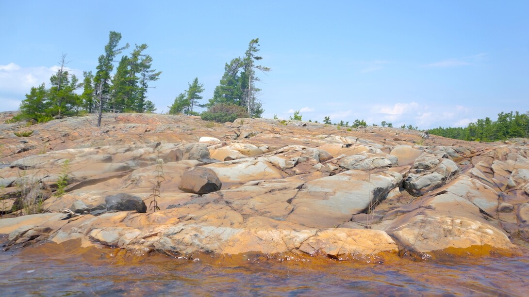
Philip Edward Island is just south of Killarney Provincial Park in Georgian Bay. It’s a fantastic five- to seven-day canoe or kayak route, and has been rated by a number of leading paddlers as one of the top ten destinations in North America.
The trip circumnavigates the 50 km of island shoreline, starting out from either the marina in the town of Killarney or at the Chikanishing River access point. Killarney Outfitters is available for boat rentals and advice on the route. You can paddle around the island in either direction, but the preferred way is counter-clockwise due to the prevailing winds. The exposed southern shoreline is also the most scenic, and many paddlers simply go to Beaverstone Bay and back. But the north shore is still well worth a visit. It has a protective channel, Collins Inlet, and is an absolute gem for historians — it seems almost everyone in Canadian history has paddled through here.
I’ve paddled this route a lot. It’s scenic – very scenic. But it’s also the sense of history one gets while being here. Each time I paddle around Philip Edward Island I always stop at the old lumber town of Collins Inlet. The remote hamlet was established at the mouth of the Mahzenazing River in 1868. Fire destroyed the mill in 1918, causing Collins Inlet’s decline. Other companies still worked out of the mill for a few more years, rafting gigantic booms of logs through to the inlet. The wood it produced was used mainly for fence pickets, laths for plastering, and wooden boxes for packaging vegetables, fruit, and fish. Large three-mast schooners, including some that had been built right at the mill, shipped the lumber south of Georgian Bay to Lake Huron ports such as Sarnia and Goderich. But soon it all ended.
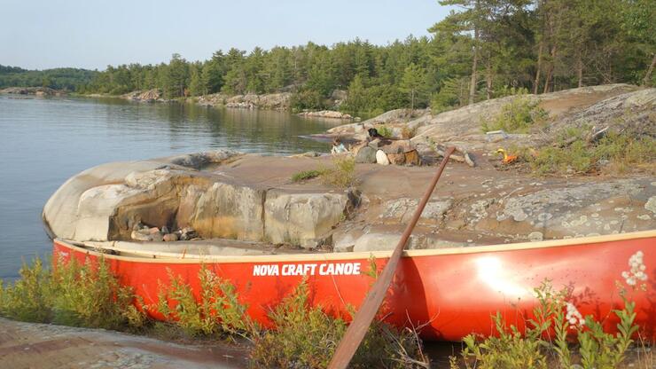
Now what remains on site is a rustic fishing camp called Mahzenazing River Lodge. The lumber businesses eventually vanished from the site and moved on. A few iron rings are still embedded in the hard granite along the shore, where they once held the booms firmly against the rough water being blown in from the bay. All the buildings on the original site have either been burned to the ground or swallowed up by the neighbouring bush, docks for the wooden schooners and steel-hulled steamships have rotted along the shoreline, and the ring of the axe and screech of the saw have long been silent.
Collins Inlet is still a well-travelled passageway, used now by powerboats and yachts, and it can get quite busy at times. But then again, I have a feeling that this protective channel has always been busy. Explorers, Jesuits, and voyageurs used it to escape the heavy winds of the bay, just as current boaters do today; and long before that, Native peoples used the route extensively, even painting ochre symbols on the rocks to mark their stay here. Located just to the west of the Collins Inlet site is a pictograph of a canoe with one of its occupants crowned with a cross, indicating a priest.
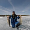
This is a route that definitely shouldn’t be missed. And don’t forget to pack your fishing gear. The entire area provides excellent bass, walleye, and trophy pike. You’re guaranteed not to be eating dehydrated meals every night.
Recommended Articles
The Seven's Best Hikes, Biking Trails and Lakes

7 Best Spots to Check Out in The Seven

Budget Bliss: Explore Northeastern Ontario Without Breaking the Bank

Bring Your Fam!

Time to Unwind: 6 Spa Havens to Discover In The Seven
5 Amazing Places to SUP in Northeastern Ontario

5 Amazing Bike Rides to Discover

Northern Lights in Northeastern Ontario

Northeastern Ontario's Best Pride Festivals

Fish for one of the World's Rarest Species of Trout

An Insider's Guide to Manitoulin Island

6 Small-Town Gems to Explore in Northeastern Ontario

11 Best Things to Do in Kapuskasing, Ontario


