Top 10 Day Trips from Sault Ste. Marie to See the Fall Colours
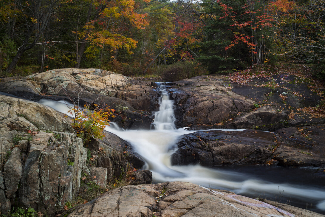
If you're visiting Sault Ste. Marie and wanting to get out into nature, fall is a great time of year. Below is a list of 10 day trips (in no particular order) that will allow colour chasers the optimal view to see the changing of the maple trees.
The Pancake Bay Lookout Trail
Located only 45 minutes north of Sault Ste. Marie, the Pancake Bay Lookout Trail is an easy 6-km trail which boasts a scenic lookout over mighty Lake Superior, the white sands of Pancake Bay, and the graveyard of the Great Lakes, where the historic Edmund Fitzgerald met her demise on 10 November 1975. The lookout is always worth the hike—no matter the season and the weather.
Once at the lookout, viewers can see for miles. To the left stretches the Boreal Forest and continues onto the right. In front, down below, lies the TransCanada Highway, and a body of freshwater encompasses the horizon. In the fall months, the trees, adorned with their fall colours, appear as a sea of bright hues jarring out of the Canadian Shield, stopping abruptly for the pure white sand which meets the cool, blue waters. The Lookout Trail truly is the perfect fall hike.
Highway 129 to Chapleau
Consider taking a drive along Highway 129 from Thessalon, Ontario to Chapleau, Ontario. Over two hours in length one way, the drive offers views of uninterrupted Northern Ontario. Drivers get close to the edge of the Mississaugi River, as the highway hugs the river, as well as other lakes and tributaries. As you drive along, enjoy the winding and rolling of the highway, as well as the never-ending rolling of the mountains. Onlookers can also enjoy glimpses of the remains of a devastating forest fire, Pig Pen Chutes, and the Chapleau Game Preserve, the largest game preserve in Ontario. With few towns and communities on this solitary highway, your chance of seeing wildlife as well as the fall colours is extremely high. Be sure to get gas before leaving Thessalon—there are very few opportunities to gas up along the way!
Hiawatha Highlands
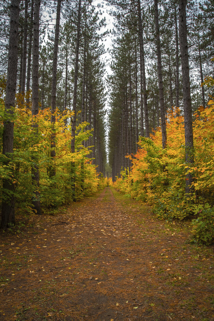
Located within the City of Sault Ste. Marie, Hiawatha Highlands is a year-round adventure playground, no matter the season. With amazing trails for biking, hiking, and running in the spring, summer, and fall, and strenuous cross-country ski tracks and snowshoe paths in the winter, Hiawatha is every Saulite’s favourite recreational place within city limits. Trails range from 1 km in length to over 15 km, and can be anything from easy to moderately difficult. The Crystal Falls, a gorge, and various lookout vantage points provide trail users with great views of the city and vast wilderness.
Hiawatha is perhaps one of the best places to view the fall colours in the city limits, since the majority of the trails are lined with thousands of maple trees. Trail users can spend anywhere from an hour to a full day exploring the region.
St. Joseph Island
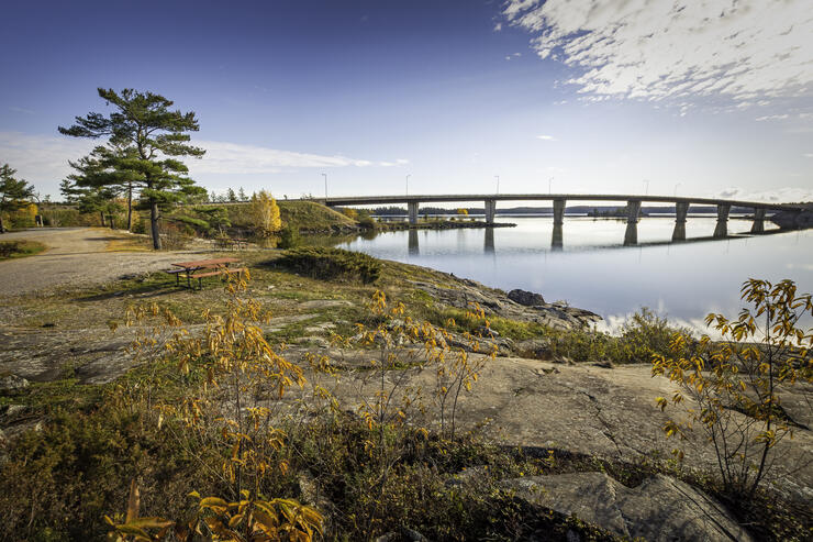
No matter the season, you can’t go wrong visiting St. Joseph Island. The majority of St. Joseph Island’s tree population consists of maple trees, so a visit in the fall is sure to impress. Take a drive around the entire island on Highway 548, take in the shipping channel at Sailors’ Encampment, visit a quaint store in Richards Landing, or hike the Mountainview Centennial Grounds’ trails in Jocelyn Township. You can stay for an hour, a day, or overnight. And there’s no better home-cooked meal than on St. Joseph Island.
Robertson Cliffs Trail
Located only 15 minutes outside of Sault Ste. Marie exists the Robertson Cliffs and King Mountain. Jutting out of the lowlands in Goulais, stands these picturesque mountains, which offer panoramic views of the boreal forest, the Trans Canadian Highway, and mighty Lake Superior. Many label the Robertson Cliffs trail as difficult, but the views are worth the hike. Once at the top of the cliffs, hikers are greeted with five impressive lookouts, perfect for viewing the fall colours. The Robertson Cliffs Trail also offers up a small waterfall viewing opportunity. This is a great hike for those looking to escape the city for a few hours without wanting to venture far.
Nokomis Trail
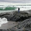
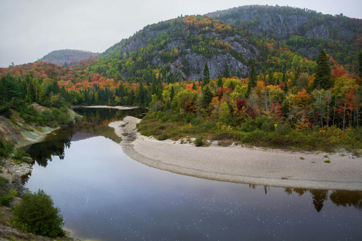
Located across from Old Woman Bay at the northern boundary of Lake Superior Provincial Park (approximately 20 minutes south of Wawa, Ontario), the Nokomis Trail is a moderately difficult five-kilometre trail system that provides five stunning lookouts, sky high above Old Woman Bay, one of the most popular stops within Lake Superior Provincial Park. Viewers can enjoy breathtaking views of Old Woman River, Old Woman Bay, and the rolling mountains, which appear as a sea of bright colour in the fall months. On a windy day, hikers can experience first hand the legacy of mighty Superior, as waves crash 10 feet high at Old Woman Bay.
Highway 17 North to Wawa
Approximately 220 km(137 miles) one way, this two-hour drive will not disappoint and will deliver spectacular views of the Boreal Forest, the Canadian Shield, and the rugged coastline of Lake Superior. Two waterfalls, the Chippewa Falls and Pinguisibi (Sand River) Falls, will also highlight the trip. Food lovers will find plenty of options for a good home-cooked meal, and there are arts and crafts stores along the way. The drive to Wawa is also a great alternative to the Agawa Canyon Tour Train, for those on a tighter budget. Onlookers will enjoy similar views that they would see on the tour train, except for the view of the Agawa Canyon itself; however, they will get to enjoy Lake Superior. If you do take this drive, be sure to have a full tank of gas—there are no gas opportunities between Batchewana Bay and Wawa.
Awausee Trail
Unlike the Nokomis Trail in Lake Superior Provincial Park, the Awausee Trail is difficult and demands a higher level of expertise and physical ability. 10 km long, the trail is located only minutes from the Agawa River and Agawa Bay Visitor Centre at the south entrance of Lake Superior Provincial Park. For the first two kilometres of the trail, hikers climb to an elevation greater than 300 metres above Lake Superior. The hike up the mountain is agonizing, but the views are unlike anything you’ve ever seen. Few trails in the Algoma region reach the same elevation as the Awausee Trail. Therefore, before heading out for this hike, check the weather carefully: schedule your hike on a clear, sunny day.
Agawa Canyon Tour Train
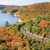
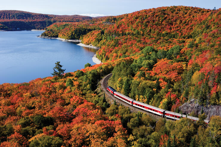
The Agawa Canyon Tour Train is the most popular tourist stop within Sault Ste. Marie. Every year, thousands from around the globe visit the Sault to climb aboard the Algoma Central Railway (ACR) and head to the Agawa Canyon. Visitors can enjoy a full day aboard the train in refurbished cabins, taking in the sites along the rails, including rivers and streams, windfarms, bridges and trusses, and vast mountainous landscapes. Once at the canyon, train travellers have just under two hours to explore the Agawa Canyon, enjoy lunch, hike over 300 steps to the lookout, or visit two impressive waterfalls. The Agawa Canyon Tour Train is truly impressive and promises views nature enthusiasts can see no other way.
Pinguisibi River
More commonly known as the Sand River due to its English translation from
Anishinaabemowin, the Pinguisibi River provides access to the most reachable waterfall and its three chutes within Lake Superior Provincial Park. So accessible, in fact, that it can be seen from the Trans-Canada Highway, making it one of the most popular stops within the park, but also the most popular hiking trail. Although it is considered a moderately difficult trail by the park’s standards, this 6-km linear hike is an easy trek, perfect for families, adventure enthusiasts, and those both young and old. Well maintained by the interior provincial park staff, equipped with a well-trodden trail, bridges, and wooden steps, the Pinguisibi River is a must-stop for those travelling along Highway 17. Plus, if you’re an angler, this river never disappoints.
Recommended Articles

9 Facts to Know about the Agawa Canyon Tour Train
A Guide to the Best Urban Fishing in Sault Ste. Marie, Ontario

Where to Eat, Dine, and Play on the Sault Ste. Marie Waterfront

Cruising to the Next Level

Canada's Only Bushplane Museum is a Must For Your Bucket List

Why the Fall Is a Great Time to Visit Sault Ste. Marie
Canoe & Kayak Sault Ste. Marie

Peace Restaurant
