Latchford: It's a Beautiful Day in the "Neighbourwoods"
Editor’s Note: Recently we published a very popular piece about the Lake Temiskaming Tour’s idyillic setting for a fall road trip. If you’re taking that route, these are fantastic trails to stretch your legs on along the way.
When you think of small towns in Northeastern Ontario, it doesn’t get much smaller than Latchford, population 400. But what this town may lack in residents, it makes up for in hiking trails, including 6,000-year-old native trails (“Nastawgan” Trails) that link the Ottawa River to the south and Lake Temiskaming to the North. Used by Indigenous people for centuries before they were adapted for hauling pine logs during the days of logging, these trails are still being used today by people who hunt and trap.
(Photo: Grownup Travels)
But not all hikers are equipped for these rugged routes, including myself. Not being someone with a lot of backcountry expertise, or much proficiency with a compass, I was happy to discover that there are trails near Latchford that are as family-friendly as the town itself, and one of these was the appropriately named “Neighbourwoods” Trail.
Hiking the Neighbourwoods
(Photo: Grownup Travels)
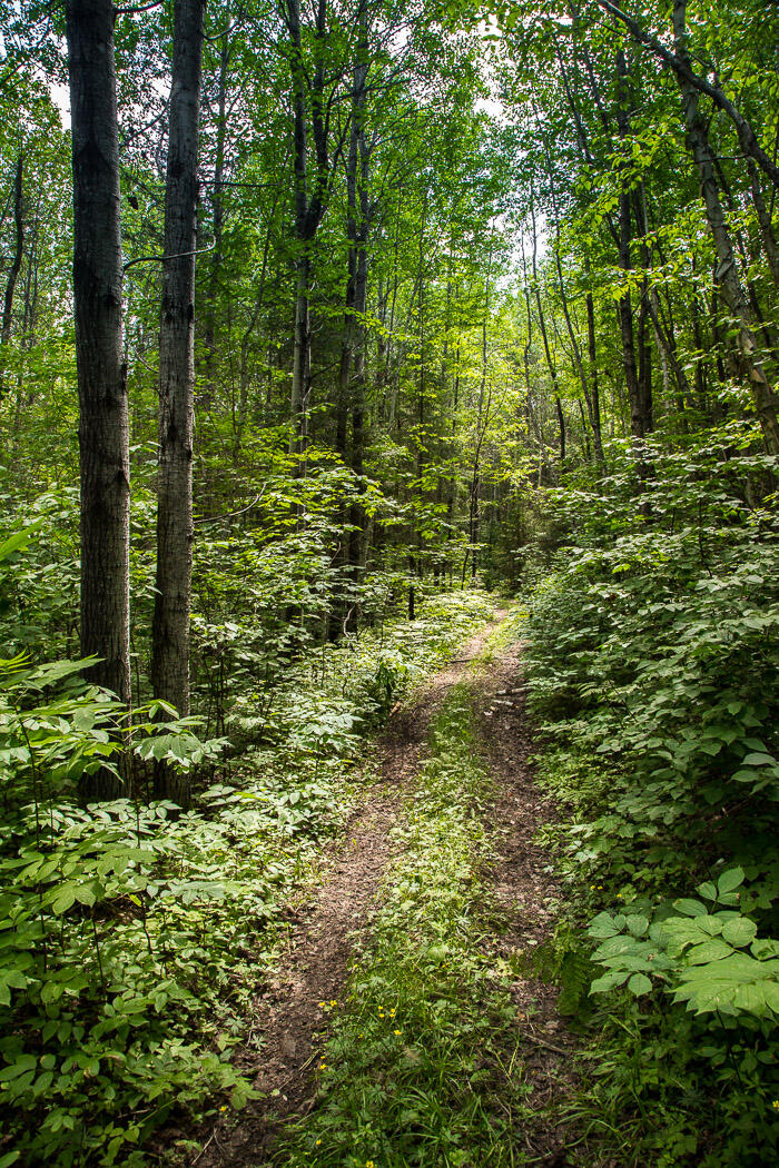
Located just outside of town on Crown Land, the Neighbourwoods is a 6.5-km series of interconnected trails that offer year-round recreation. It's perfect for families of all ages, occasional hikers, bikers, snowshoers, or nature lovers just looking for a healthy outdoor activity.
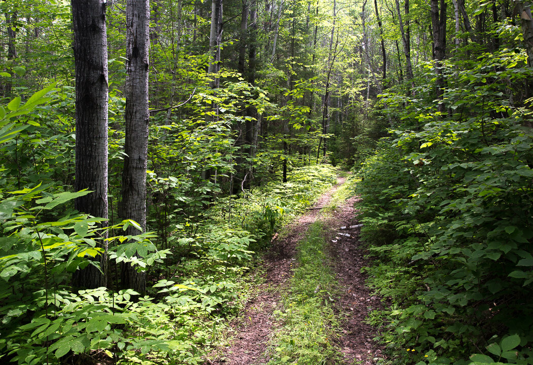
The Neighbourwoods trail system is maintained by volunteers, and as soon as Henk and I stepped onto the first trail, we could see that these trails are well-loved. Double-track paths make it easy for pairs or groups to walk together, and every trail was well marked with whimsical trail plaques named after forest creatures. With names like “Nutty Lane” (whose mascot was a squirrel) and “Teddy’s Run” (with a teddy bear of course), this is a place that caters to kids of all ages.
(Photo: Grownup Travels)
Younger hikers, especially, will have fun choosing between two “Dat-a-way trails” at a fork in the path (two trails that are marked by ducks pointing in opposite directions that each say “Dat-a-way”). Since both bring you back to the same spot, there really is no wrong choice.
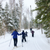
The same can be said for the individual trails themselves since all of them are similar in terms of their difficulty level (easy) and terrain. Passing through the deciduous forest, there are some pretty stretches with ferns lining both sides of the trail, and the trees provide a nice canopy to filter out the sun so you don’t get scorched on hot summer days. In the fall, this would make for a gorgeous hike amidst the fall colours, and come winter the well-groomed, wide trails would be perfect for snowshoeing or spotting wildlife.
But I was here in summer, and my timing was perfect for spotting something else; while hiking on Nutty Lane I looked down and saw a few wild raspberries, which I scooped up right away. A little farther on, an even better surprise: wild strawberries growing in the centre of the trail. I hadn’t found wild strawberries in the bush in decades, so this was a real treat. Nothing compares to the taste of a wild strawberry, and its sweetness took me on a trip down memory lane, not Nutty Lane, as I made short work of those little beauties.
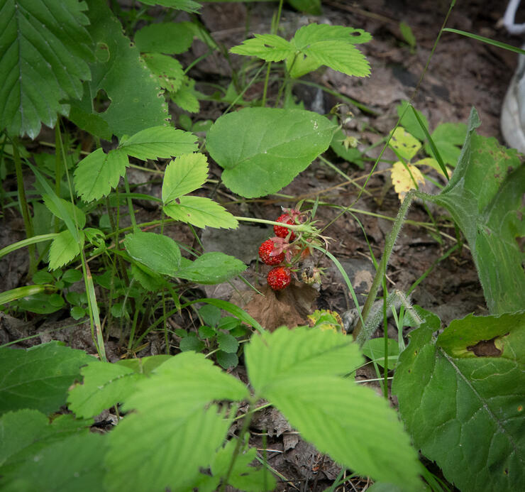
(Photo: Grownup Travels)
While the Neighbourwoods may not have tested our stamina or orienteering skills (of which I have minimal!), this hiking trail was a pleasant way to spend a summer day, with the added bonus of a few wild snacks offered along the way.
World’s Shortest-Covered Bridge
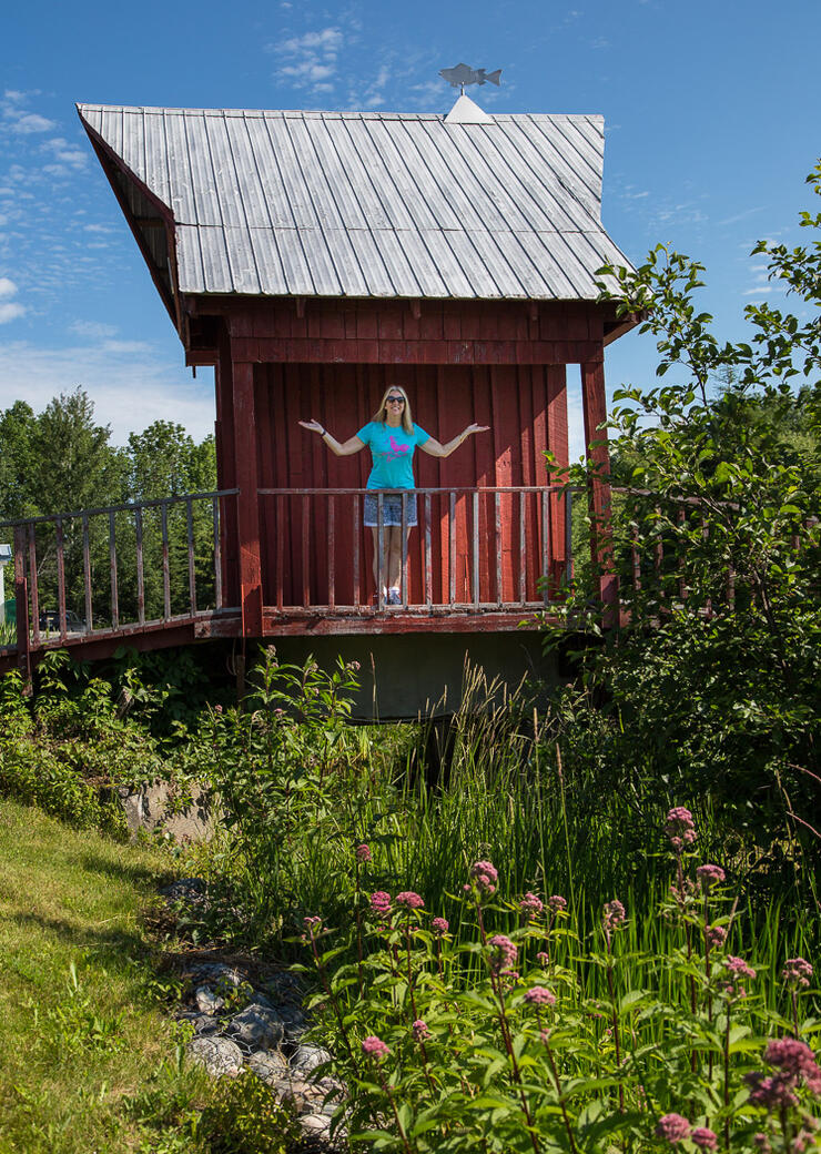
(Photo: Grownup Travels)
A trip to or through Latchford wouldn’t be complete without a ‘“photo-op-stop” at the “World’s Shortest Covered Bridge” near the Community Centre. For a small town, it’s appropriate that they can lay claim to something small as well, and this cute little wooden bridge lives up to its name, as you can’t fit an entire car length under its roof!
The creek that it spans is little more than a trickle, and there’s even a pedestrian walkway so that they don’t interfere with the single-car-wide “thoroughfare.” But who could resist taking a photo here? If cars could take selfies, they would definitely do it here.
DIRECTIONS: In town, go west off Hwy 11 onto Mowat Avenue. Then don’t blink, or you might miss it!
PRACTICAL INFORMATION
ACCESS to NEIGHBOURWOODS TRAIL: Take Sullivan Avenue west off of Hwy 11, then north on Murphy Mill Road for about 2 km. You’ll see openings on the right that are the trail entrances and you can park at a government boat launch area just to the left of the Dead End sign.
DIFFICULTY: 1/5
AMENITIES: None, so bring your own water.

(Photos: Grownup Travels)
WHERE TO STAY: There aren’t many places to stay in Latchford itself, but Temiskaming Shores a little farther north has plenty. We stayed at a gem called the Waterfront Inn, which provides large, modern guestrooms with comfy beds and a location that can’t be beat.
This hotel lives up to its waterfront name as it is situated right on the shore of Lake Temiskaming. Ground floor rooms have patio doors that access the lawn and the long, sandy swimming beach immediately in front of the hotel; upper rooms have balconies looking out on the same view. The hotel also has a great patio where you can enjoy a meal or a drink as you watch the sunset over the water.
Recommended Articles
The Seven's Best Hikes, Biking Trails and Lakes

7 Best Spots to Check Out in The Seven

Budget Bliss: Explore Northeastern Ontario Without Breaking the Bank

Bring Your Fam!

Time to Unwind: 6 Spa Havens to Discover In The Seven
5 Amazing Places to SUP in Northeastern Ontario

5 Amazing Bike Rides to Discover

Northern Lights in Northeastern Ontario

Northeastern Ontario's Best Pride Festivals

Fish for one of the World's Rarest Species of Trout

An Insider's Guide to Manitoulin Island

6 Small-Town Gems to Explore in Northeastern Ontario

11 Best Things to Do in Kapuskasing, Ontario

