3 Winter Hikes to do with your dog near #TheSoo
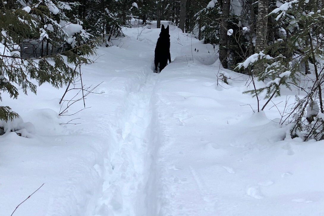
There are lots of great options for hiking in Algoma and many within minutes of Sault Ste. Marie. Bringing your dog along makes sense if they are fit enough to go running through the snow. Here are three shorter hikes to start them out and build both yours and their fitness too. Once you both feel you can tackle them, there are options to expand your adventure.
Odena Loop Extension
A popular local spot for dog walking is in the Sault Ste. Marie Region Conservation Authority (SSMRCA) property at Hiawatha Highlands. This walk starts at the end of Conner road off of Sixth Line, where there is ample parking available. There are many trails in the area which often cause confusion, so pick a trail system that is marked, such as the Voyageur Trail.
The Odena Loop is over 4 km long with many ups and downs, making for an interesting snowshoe through the bush. A shorter, easier option starts where the Conner Rd. extension crosses the yellow Odena Loop trail. Leave the parking lot through the gate and look for the yellow blazes. (Blaze descriptions can be found at the end of the blog.) Follow the blazes south of the road. The path brings you through a flat forested area, leading to a bridge that crosses Crystal Creek. On the other side, the yellow side trail ends where it meets the main trail. At this point you want to go west (right) following the white blazes. The path intersects with other trails such as the Hiawatha snowshoe trail which is indicated by little snowshoes on the trees. Stay with the white blazes and you will eventually reach the bridge over the upper Crystal Falls. Once you cross, continue on until you reach Conner Road at which point you head back to the parking lot by heading east or right.
This loop should take about one hour or so to walk around. The trail is well used and may not require snowshoes. These lands belong to the SSMRCA, and dogs are required to be on leash. That being said, there are many who allow their pets free reign. It is a popular spot with many hikers, fat-bikers, and skiers, which requires good control over your pet for their safety as well as others in the area.
Robertson Cliffs Base Trail
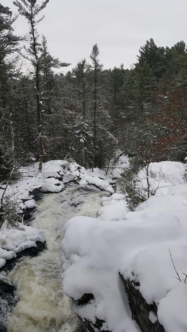
A new spot that you can bring your dog in winter is Robertson Cliffs. The main trail up the cliffs has long been popular particularly in the fall but has been unavailable for snowshoeing because the road in is not maintained during winter. A new trail has been developed by the Algoma Highlands Conservancy (AHC) in partnership with Voyageur Trail Association (VTA).
The trail is located in Goulais River, a 35-km drive up Highway 17 north of Sault Ste. Marie. There is highway signage before the turnoff onto Old Highway 17 which leads to Robertson Lake Rd. The trail starts at the snow machine parking lot, which is the last area that the road is plowed to. From there, the road is mainly accessed by snow machines. The new trail, which is blazed blue, starts across the road and follows the contours of the cliff base through the maple forest to the new parking area about 1 km or so east. To make a short loop, head back on the road. This takes roughly an hour and is an easy hike. Dogs are allowed off leash and the only traffic to be concerned about is snow machines heading down the road.
This trail continues 100 meters east of the parking lot and heads up the side of the cliffs until it meets the main Voyageur Trail, indicated by white blazes. Once on the main trail, there are many options, and you should check either the AHC or VTA website for more information regarding these options.
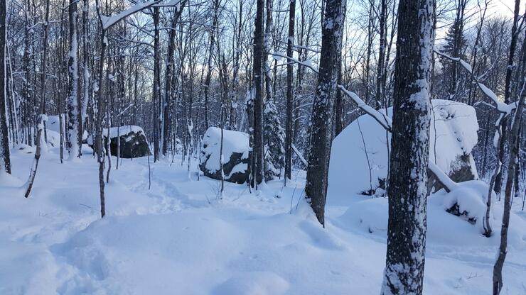
Haviland Bay Lookout
Havilland is located 38 km north of the Sault. To access the lookout, you will need to park at the Lori’s Restaurant or the Havilland Shores Beach. The trail is a blue side trail of the Voyageur Trail. Look for the Hiker sign north across the highway from the restaurant, or if you are coming from the beach it is directly across from the Sault Ste. Marie 40 km sign. Cross the highway carefully and put on your snowshoes before crossing into the bush.
Once you have crossed the highway, there are relatively few users of the trail and no traffic to contend with. This trail starts out flat, but quickly begins to climb the side of the hill. The trail follows Tier Creek, obviously frozen in winter. At the junction of the yellow and blue blazed trails take the left (yellow) leg. The trail can be a challenge at this point for snowshoes, as it is steep in sections. The terrain eventually evens out a bit after crossing the creek. Once it leaves the creek side and starts going up again, you will arrive at another junction. This time, the left leg is a blue blazed trail. This 500-meter trail leads to the lookout over Lake Superior. Watch your step and your dog as there are no fences to keep you safe.
The trip up and back should take about two to 2.5 hours. To lengthen your walk, continue along the yellow loop trail until you reach the main Voyageur Trail. The trail parallels the Tier Lake cross-country ski trail operated by Stokely Creek Lodge. Once you reach the main trail, go south (right) along the trail for a hundred meters or so until you see the blue side trail to the right, heading back towards Lake Superior. The entire loop is over 8 km, making it a much longer and challenging winter hike. The land through which the trails go through belong to Astina Forest AG, a European-based forest management company. There has been no indication that dogs need to be leashed.
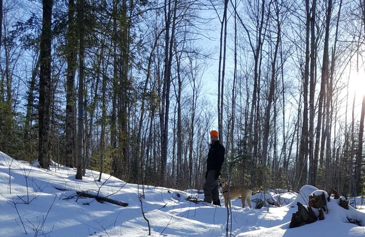
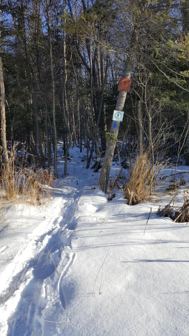
The Voyageur Trail System uses the Appalation and Bruce Trail blazing systems in the Sault Ste. Marie area. The main linear trail is blazed white, loop trails are blazed yellow, and in/out trails are blazed blue.
Recommended Articles

9 Facts to Know about the Agawa Canyon Tour Train

A Guide to the Best Urban Fishing in Sault Ste. Marie, Ontario

Where to Eat, Dine, and Play on the Sault Ste. Marie Waterfront

Cruising to the Next Level

Canada's Only Bushplane Museum is a Must For Your Bucket List

Why the Fall Is a Great Time to Visit Sault Ste. Marie
Canoe & Kayak Sault Ste. Marie

Peace Restaurant
