Canoe the Path of the Paddle
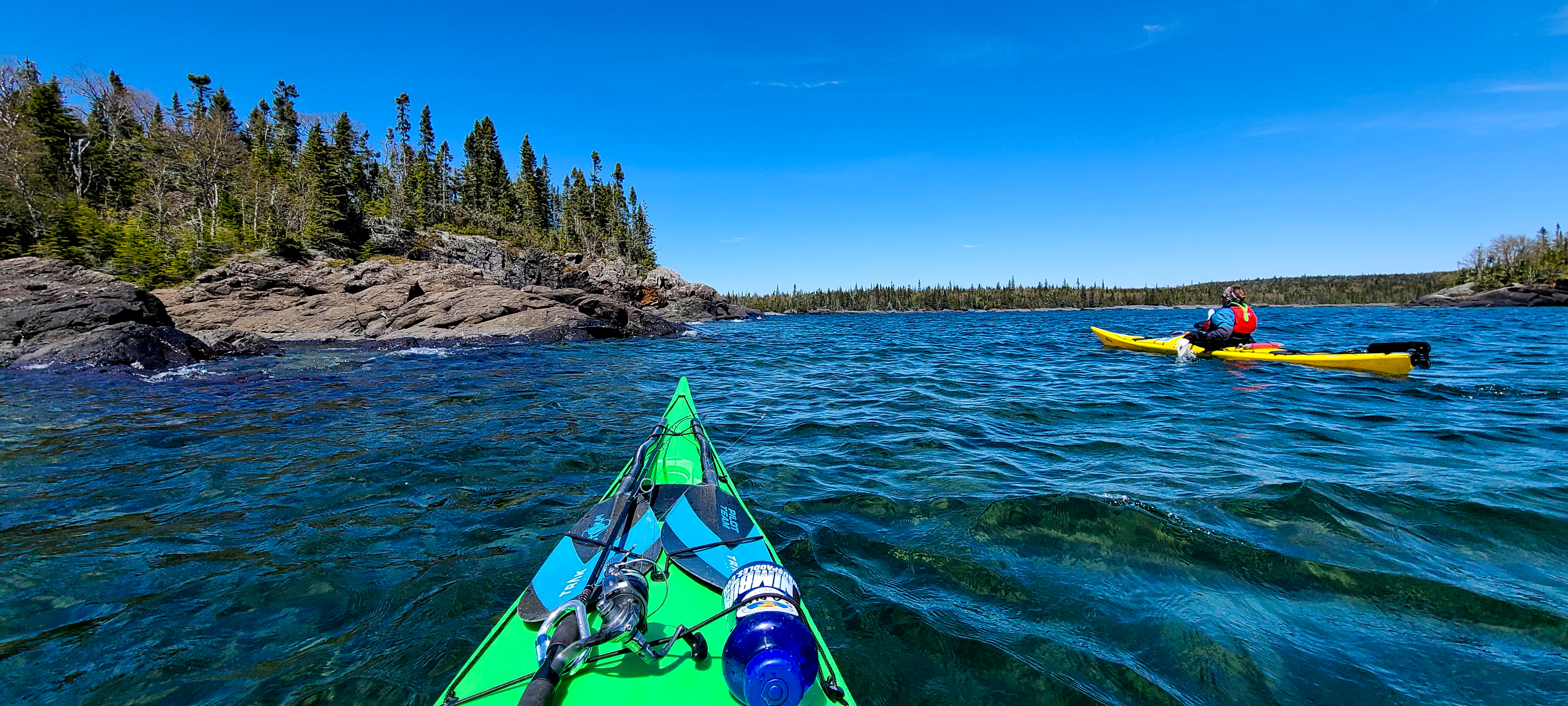
Path of the Paddle runs from Lake Superior to the Manitoba border—a 1,180km waterside wilderness corridor, and a paddlers paradise. The route is a series of incredible access points catering to day use visitors out for a scenic paddle, or trail-worn adventurers thru-paddling the route in entirety. Part of the Trans Canada Trail, the 152 portages are maintained by volunteers under the care of the Path of the Paddle Association.
At the trail's Eastern edge, in the Municipality of Neebing and along the incredible Lake Superior coast, are a few must-visit locations in Superior Country, including Little Trout Bay Conservation Area and Northern Light Lake.
To plan your day trip, or begin the journey of a lifetime, here's what you need to know.
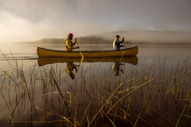
Day Use
Little Trout Bay Conservation Area
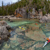
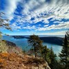
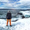
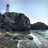
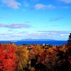
Located just 40km from the city center of Thunder Bay, Ontario, and 30km from the Grand Portage border crossing, Little Trout Bay is incredible water access for several reasons. For paddlers, it is a perfect destination to launch a sea kayak, stand up paddle board, or canoe trip. The sheltered bay provides protection from the big hazards of Lake Superior while still offering stunning waterside cliff experiences, beautiful blue water, and the option to take a short portage on the Big Trout Bay Nature Reserve. This nature reserve is signed, and departs across the bay from the boat launch; up a steep bank, into the head of Big Trout Bay. Here, on the other side of the long peninsula that encloses Little Trout Bay, visitors will find a bench atop a cobblestone beach and a scenic location to enjoy the southern view of open water spanning all the way to Duluth, MN.
Paddlers should be aware of strong east and northeast winds that can travel into Little Trout Bay and create wave action. The access point has ample parking, a paved boat launch, outhouses, and picnic sites. It's also the trail head to a shorter hike along the lakes coast, or a more adventurous trail up to a lookout and on to the James Duncan Nature Trail.
Fishing from shore, especially in the spring and fall, gives anglers an opportunity to catch Rainbow Trout, often referred to as Steelhead, ‘Coaster’ Brook Trout, Salmon, and Lake Trout. There is a fee for parking to help maintain the site for all users, though the best options is to purchase an Explore Card Parking Pass so you can visit this, and other, conservation areas all summer long without worrying about parking.
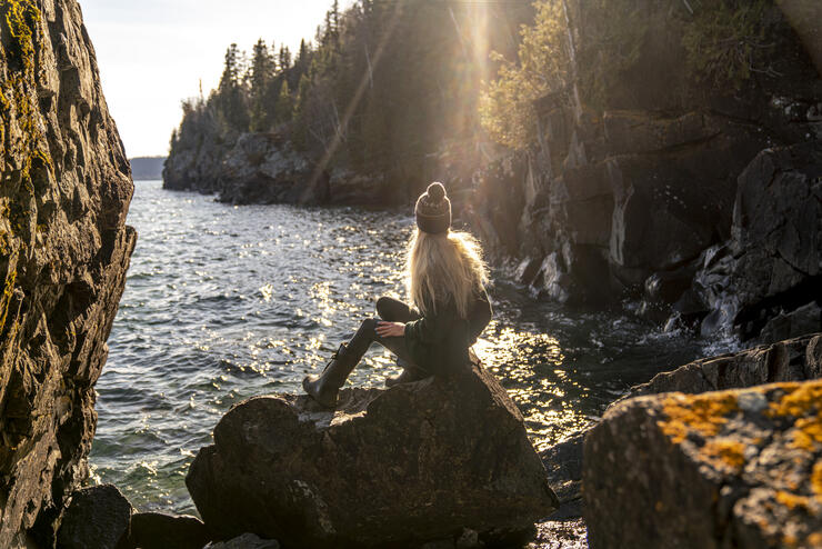
Northern Lights Lake
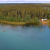
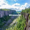
For paddlers looking to experience Sunset Country away from Lake Superior, Northern Light Lake is an incredible day use location in the shield country of Northwestern Ontario. The lake has excellent fishing for Bass, Walleye, and Northern Pike, as well has camping options to extend your stay. The many islands create an intimate experience with the enormous lake, and provide shelter should the winds come up.
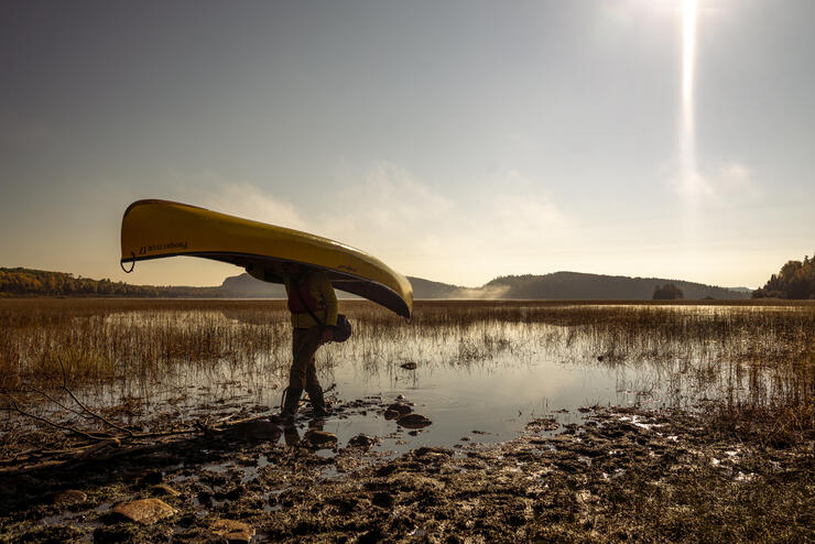
North Fowl Lake
Located off the 593 road just outside of Thunder Bay, locally referred to as the Devon Road, North Fowl Lake is a great day trip or weekend camping destination. With crown land campsites available on a first come basis, there is ample parking at the landing as well a good boat launch. To the west, a well maintained portage leaves into Moose Lake, along the US border, and paddlers will quickly find themselves away from boat traffic and immersed in high hills.
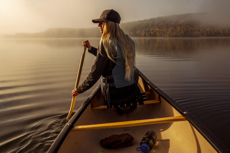
Overnight and Thru-Paddlers
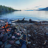
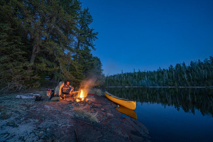
For those looking to start their long trip to Manitoba, or camp along the coast of Lake Superior a few nights, the Animikii Section of Path of the Paddle is your destination and starting point. Path of the Paddle maintains six campsites accessible only by water and are great destination for weekend trips. Make sure to check the Western Lake Superior Marine Forecast, as well apps like Windy, to predict winds that could create dangerous conditions for both small and large craft.
Since the traditional portage around the Pigeon and Arrow River Canyons is through the Grand Portage and exists in the United States, paddlers may wish to bike or arrange a shuttle to North Fowl Lake, where paddlers can then travel for over 1,000km’s without the aid of a vehicle. For more information on Thru Paddling, especially in planning your trip, please reach out to info@pathofthepaddleassociation.com.
Outfitters
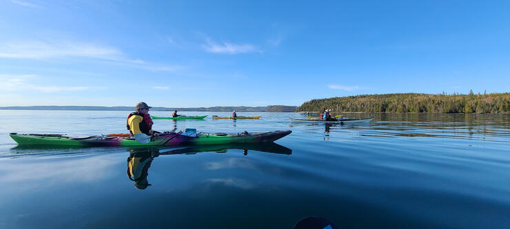
To rent canoes, kayaks, and affiliated safety equipment, your go-to stop is in Thunder Bay at Wilderness Supply. They can provide you with all you need for a day or weekend on the water and will even help you secure your boat safely to vehicle roofs. As well, Zack at It's Such a Nice Day Adventure is the perfect guide to take a day trip with, learn essential skills from him, or acquire paddling certification in courses he offers.
On Northern Lights Lake, Bob Miller at Red Pine Canoe Outfitters is where to stop. Miller has a huge fleet of rental canoes, tents, and cabins for rent as well as tent sites. From his outfitting lodge, paddlers are on the Omimi Trail and are near the southern ranger gate of Cache Bay into Quetico Provincial Park, where the trail continues north to Atikokan.
First Nation History
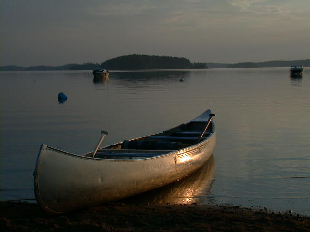
Situated along the Robinson-Superior Treaty and Treaty 3 territories, Path of the Paddle portages and waterways have been used for at least 8,000 years by Ojibway and Cree people. Their legacy lives on in the continuity of these waterways. Along the route, there are various opportunities for paddlers to view pictographs, though we ask you not to photograph or touch these sacred sites. An offering of tobacco and a thank you is a traditional way to honour the spirits and ask for safe travels.
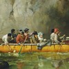
The portage which cuts from Little Trout Bay into the outer edge of Big Trout Bay is believed to be a long used First Nation portage trail to avoid the exposed shore which travels around the peninsula. Later, the fur trade would have taken advantage of this short but steep carrying place when winds kept their bark freighter canoes from rounding the point. Inland, the portages that get atop the plateau that creates the Northern Lights and Quetico country are steeped in long time use, the portages having been vital travel corridors for seasonal harvesting and gathering of staple foods such a wild rice and moose.
At points where beaches pass by historical travel routes, ones with giant red pines, people can sometimes observe deep scars in the trees where both Indigenous and fur trade people scraped resins from the tree to fix canoes made of birch bark.
Photography Opportunities
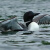
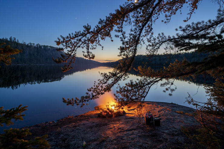
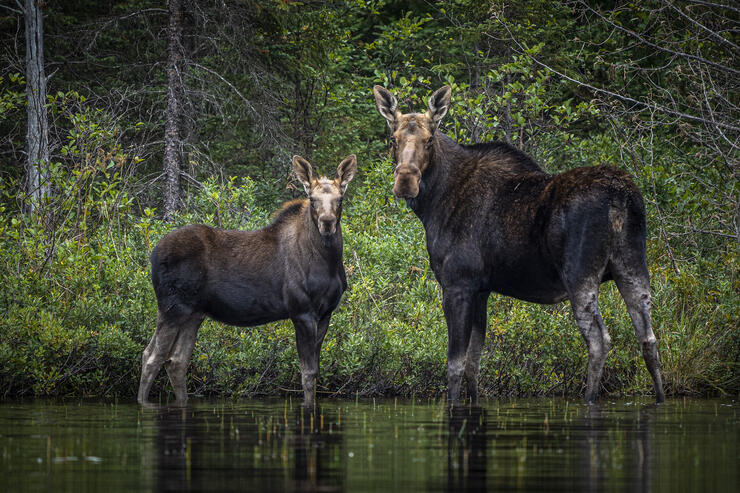
Visitors to Path of the Paddle enjoy the opportunity to photograph various wildlife sightings along the entire trail including moose, bears, wolves, and deer. Birds along the route include various ducks, grouse, trumpeter swans, geese, eagles, osprey, owls, hawks, falcons and various migratory species. The landscape around Superior Country is a canvas for light and cloud, with sunsets accenting the rugged landscape by silhouetting pine-studded points and turning the water into velvety rich hues of pink and purple. The wild shorelines of Lake Superior draw artists and photographers alike from near and far.
How to Plan Your Trip
The essential tool for planning a trip is to purchase a planner map from the Path of the Paddle website. Additionally, the association is working to have digitized, GPS downloadable maps with portages, campsites, and all the route info you need ready for purchase by late spring. If you need help beginning your trip, arranging shuttles, or are looking for tips, please reach out to the Trail Coordinator.
Recommended Articles
10 Reasons to *NOT* Travel the Lake Superior Circle Tour
Canoeing the the Slate Islands near Terrace Bay
6 Amazing Facts About Red Rock, Ontario
11 Things to Do in Silver Islet, Ontario
Incredible Fishing at Dog Lake Resort

Best Roadside Picnic Spots in Northern Ontario
A Father and Son Tradition at Miminiska Lake Lodge
Hikes, Bites and Sights on the North Shore of Lake Superior
A Day Tripper's Guide to Nipigon
A Historic Lodge in Red Rock, Ontario
Hunting for Yooperlites Along Lake Superior
