Ghost Towns by ATV - Part Two
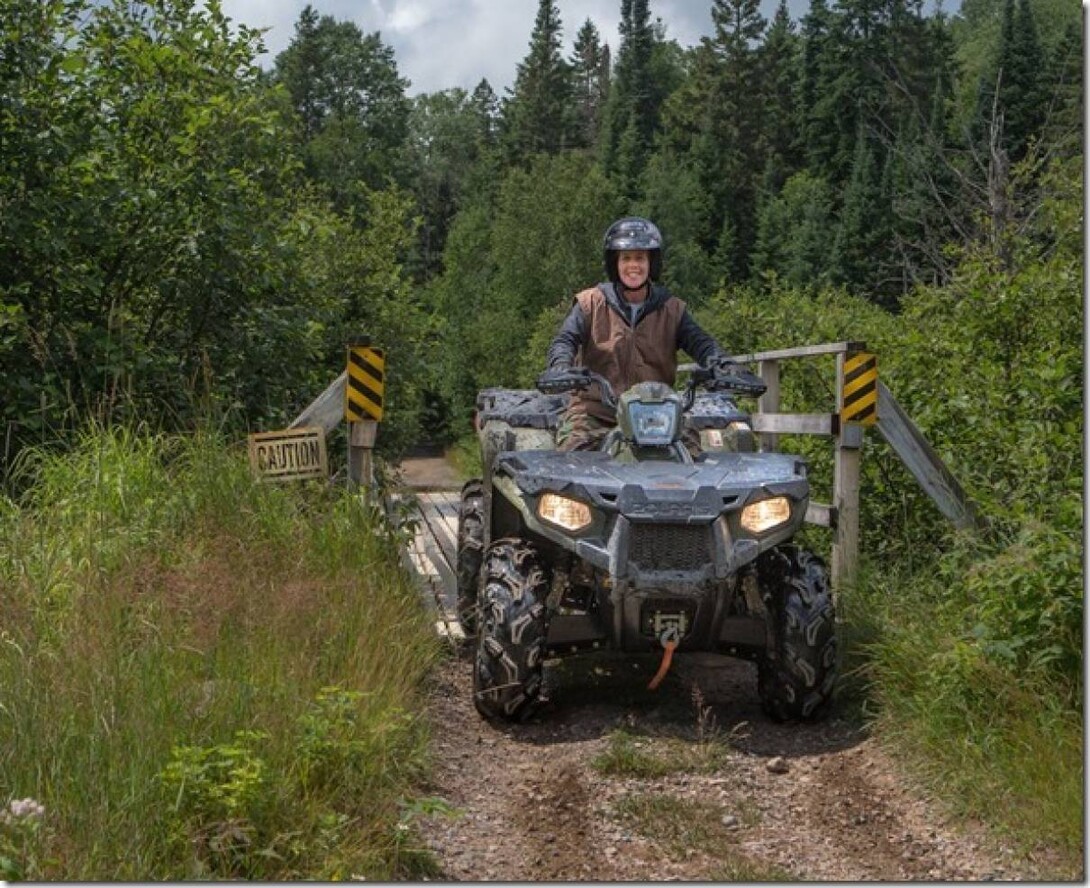
Editor's Note: Adam is the webmaster for the Algonquin West ATV Club, one of Ontario's great hidden gems for ATV touring. Adam has recently taken to chronicling his adventures for us here. This is Part Two of his "Ghost Towns of Old Nipissing Road" series - click here for the first part. Adam recommends Ontarioabandonedplaces.com for the most comprehensive ghost town coverage; many of the towns listed actually still exist, so some research is required.
We begin Part Two of this historic ride at the intersection of the Seguin Trail and Old Nippissing road in Seguin Falls. We head north, across Highway 518 west, and pick up Old Nippissing Road. This section, to Magnetawan, is fairly well-maintained dirt road; most of it has no hydro, many hunt camps, and a few quite nice off-grid residences. Contrary to the highly challenging ride from Part One, this portion of the ride can also be done by car, etc. quite easily.
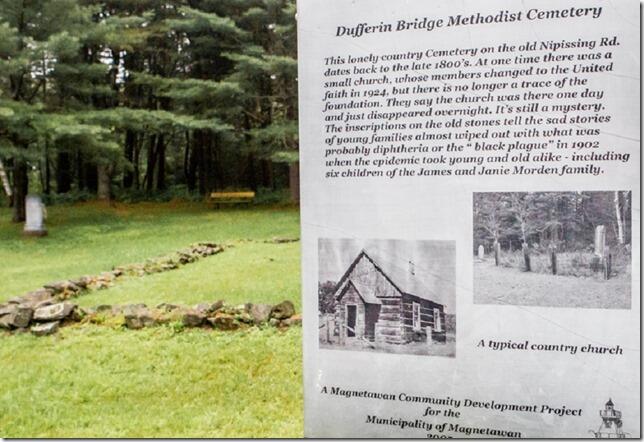
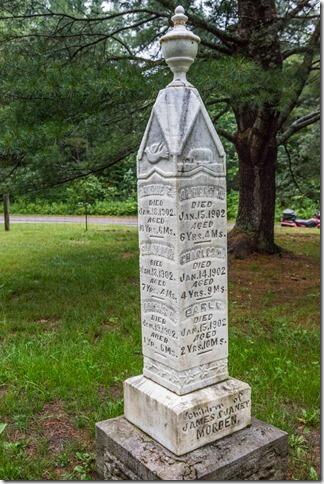
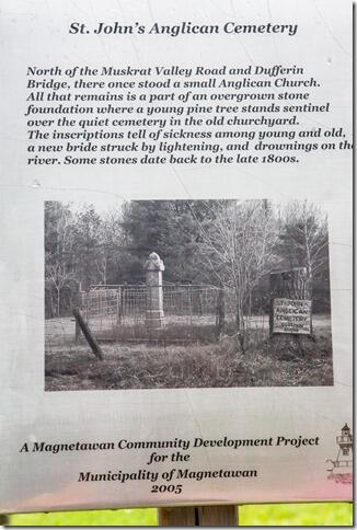
This is about exploring the remains of many settlements in the area and contemplating their lives and tragic hardships, of which there were many. In fact, the first ghost town we came to has very little evidence it ever existed, apart from the two cemeteries that tells the tragic tales of extreme hardship in 1902 of disease – either the Black Plague or diphtheria, which brutally killed six of the Morden family’s seven children aged one to 10 within a week. Another family, the Ashdons, lost lost all four children in similar fashion. The town was down from a population of 130 in 1880 to 65 in 1900. My guess is that 10 children at once, plus others, put a stake through the remainder of Dufferin Bridge, and its population declined to zero around 1920. I had strong feelings for the people who once lived here.
This sign says the foundation of the church is gone, but it is actually quite clear, behind the sign. It probably looked much like the inset photo.
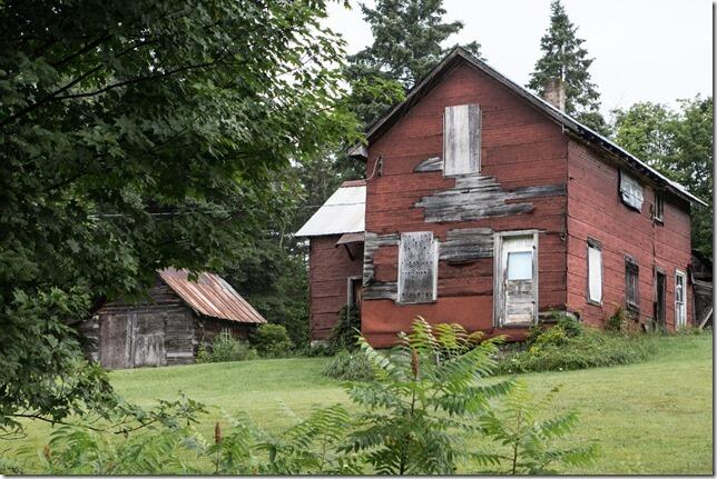
A short ride up the road takes you to the Cornball Store, run by German descendants of early settlers – they are very interesting to talk to about local history. A but further, and we pull into one of the most scenic towns I know of: Magnetawan, pop. 286.
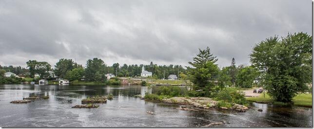
This town was badly hurt by the fire that gutted the local restaurant, the Magnetawan Inn, and the General Store next door on July 30, 2011. It later proved to be arson by an employee. I personally enjoyed the restaurant at least a dozen times sledding in the area; many sledders that have been in the area should remember it. Neither structure was rebuilt, and the town suffered for years, until the dingy hotel bar across the intersection was completely rebuilt into a grocery store and very nice restaurant; it has helped the town recover from the huge loss.
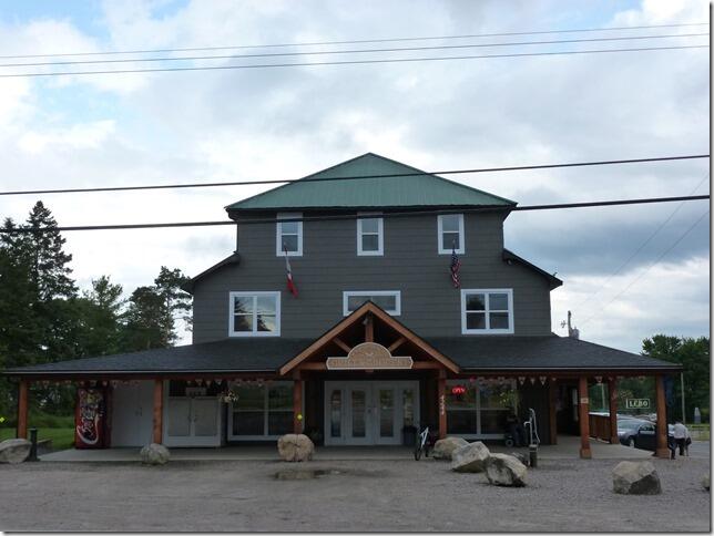
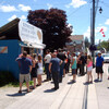
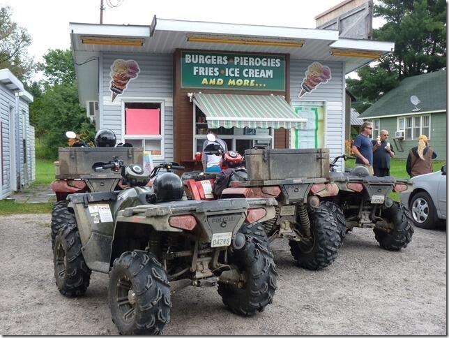
We didn’t have the time for a leisurely restaurant visit, so we patronized the seasonal burger joint instead.
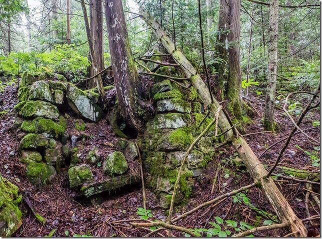
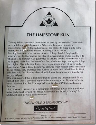
Once we pull out and head north, we quickly come to an interesting spot, the Limestone Kiln, yes, that pile of rocks was it; the trees have certainly had their way with it over the years.
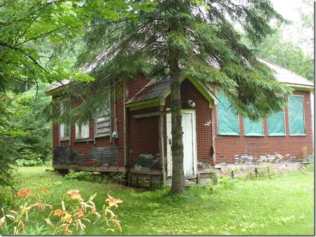
Next stop after the kiln was Bummer’s Roost, but there wasn't much to see other than a posted sign, so we proceeded further and shortly we arrived at the Rye school. It is the second school on this site, the first being a log cabin, built in 1884. This school closed in the late 1950s.
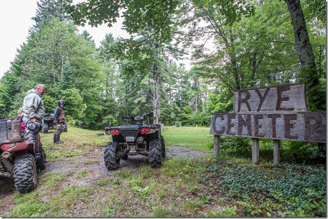
We move along to the Rye Cemetery, another spot where, disturbingly, there were a half dozen or more group family graves with multiple children from each family interred. Life was tough here, and the hazards, including sickness, were many.
Our last stop in Rye was the Rye church, an interesting stop, but not much left to see other than a concrete pad. Interestingly, we identified the white picket fence at the left side of the church in the photo below to the left, now under a fallen tree.
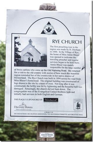
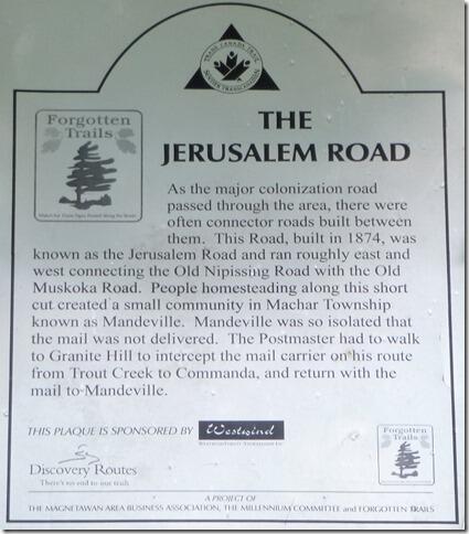
A portion of this tour can be conducted by car, and the signs are frequent and informative. Don’t we look inquisitive as we arrive at the next sign, eagerly reading it to find out what interesting subject was next.
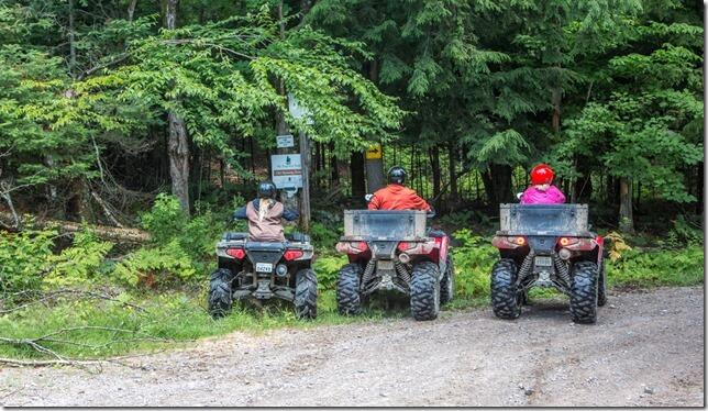
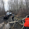
Fortunately, as ATVers, we get to follow the snowmobile trail (on Crown land) that accurately follows the real Old Nippissing road in some sections, and we get to mix in some good trail riding. The swamps were deep; in fact, we got a belt wet in gas tank deep water, and had to back out, drain the belt cavity, and detour by road around one spot.
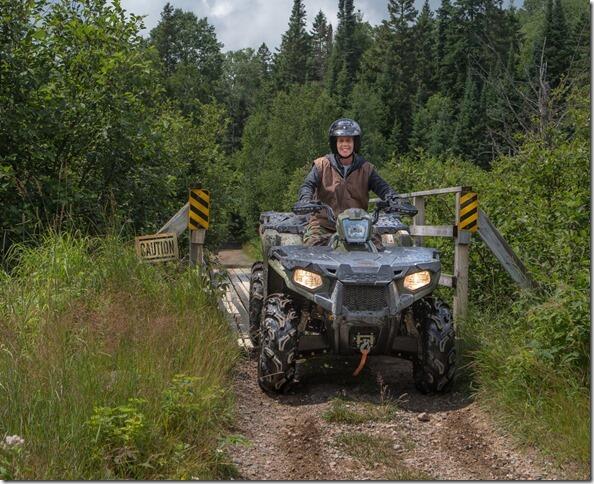
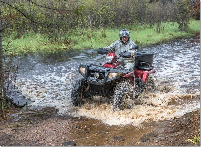
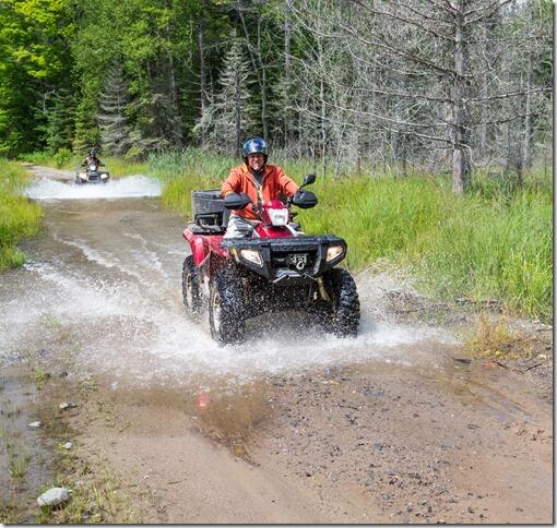
We finally arrive in Commanda (the trail did continue another 10 k or so to Nippissing, where the stagecoach met another steamer to transport people across Lake Nippissing. However, it was getting late and we still had to ride back, and we don’t believe there was much left to see the last bit, so we turned around and headed back with more stops on the way. The first stop was south of Magnetawan, at the only remaining Orange Hall, built in 1872; the sign says it was a meeting place for any man associated with the Protestant church. What the sign doesn’t say is that Catholics were most unwelcome.
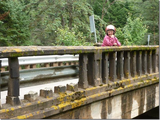
Further south we encounter a charming, if rather decrepit, one-lane bridge on Old Nippissing Road.
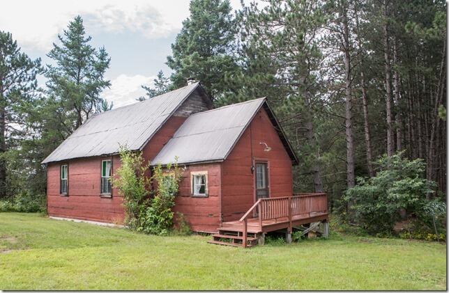
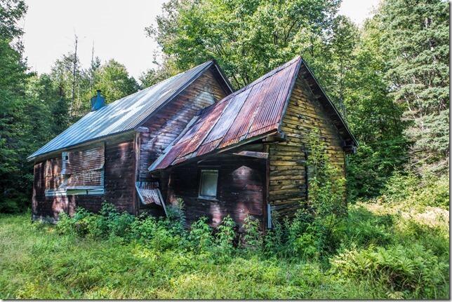
Just a bit further down the road heading south, we hang a right at Orange Valley Road, another interesting drive. It was part of Spence, where there was a sawmill, numerous homesteads, and this, which I think was the Spence School, but am not certain (there is no sign here). It certainly makes for an interesting photo. It’s about 2 km west on the north side.
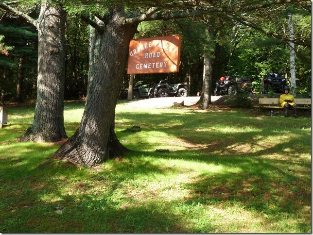
Another pioneer cemetery lies another 2 km up the road with some interesting info and headstones.
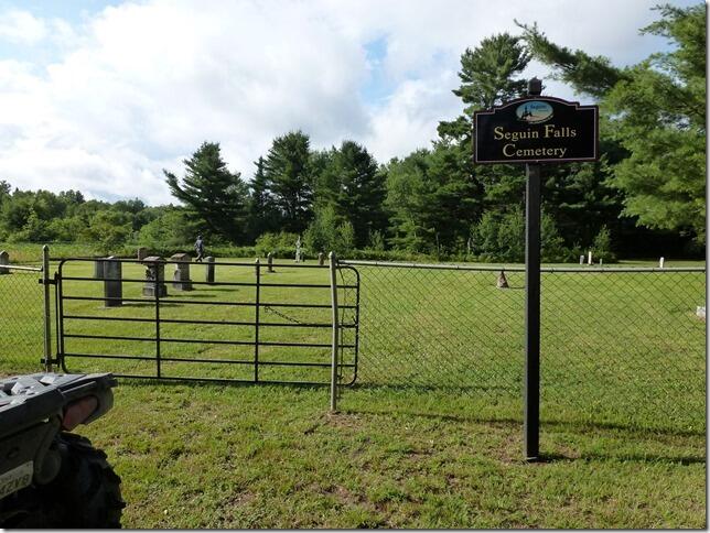
Our last stop was at the restored and still in use Seguin Falls cemetery off of Old Nippissing road, which is located where Seguin Falls used to be before it moved south to meet the new railway, the Ottawa, Arnprior and Parry Sound Railway. It has many pioneer headstones, along with newer ones.
In Part One of this story we referenced a book, written in 1888, written by BA Watson called The Sportsman’s Paradise, a free to read book that describes the adventures, and tragedies encountered by a group that travelled this entire area for many months, indeed taking the described stagecoach from Rosseau through to Nippissing, around and through many of the towns in this entire greater area that many of us know in one way or the other. I found it fascinating and recommend it.
Chapter Four, page 71 is where they arrive in Rosseau, having crossed the big lakes of Muskoka from Gravenhurst by steamboat. There is much more to see in the area, but we ran short on time to take all the dozen or more detours along the way, most just a few kilometres east and west of Old Nippissing Road. Anyone interested in seeing some of what is here would be well served to find themselves accommodation in the Magnetawan area, and spend at least a few days checking out the history and natural beauty of the area. To find out more, here are a few links to get you started.
http://www.nipissingroad.ca/ is a good one, but it detours a large part of the real colonization trail to enable drivers and bikers to visit it.
Ghosttownpix.com is another good one to find relevant information and photos.
I do hope you enjoyed reading this article as much as we did riding and writing it, come see some of it for yourself!
Check out the video of some of the trails in this region below:
Recommended Articles
The Complete 2025 List of ATV Events in Ontario
Guided ATV Tours
Confessions of a First Time ATV Rider: Mattawa Voyageur Multi Use Trails
6 Reasons Why Mattawa is Canada's Off Road Capital
ATV Riding the Ottawa Valley: A 2-Day Itinerary

18 Best ATV Cabin Rentals

Never Get Lost Again
As If Anyone Needed Convincing
5 Things I Learned ATVing For the First Time
Ontario’s North Country ATV Trout Tour

Vintage ATVs: A Guide to Your Favourite Rides
