Riding the Manitoulin Island Loop
My first day started with eerie trepidation. The map of Ontario in my mind’s eye ends at Algonquin Park. For most of my life, that was the limit of my travels. Where Northern Ontario should be, it might as well say, There Be Dragons—a phrase purported to have been inscribed on medieval maps warning intrepid travellers of danger, unexplored territory, dragons, and otherworldly beasts. I was riding into the land of dragons.
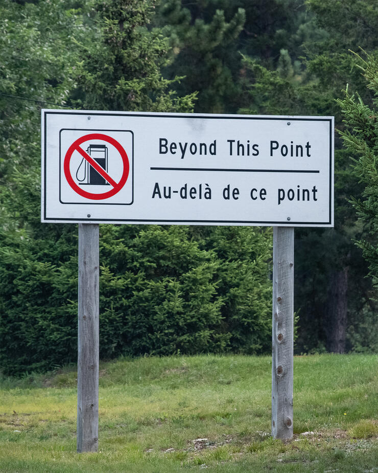
I prefer not to ride the big highways. I like the pace, the scenery, the farms, the towns and villages, and the undulating twists and turns I encounter when I ride smaller highways and roads. But, the big highways are good for one thing: getting you someplace fast. So, I headed out of Toronto on the 400 towards Highway 69 and Northern Ontario.
Really, no sign?
Maybe I just missed it, but I was expecting a “Welcome to Northern Ontario” sign. Without a sign, how would I know I had arrived? What constitutes Northern Ontario can vary depending on who’s defining it and why. Traditionally, it seems, the French River, Lake Nipissing, and the Mattawa River define the eastern border. So, when I rode across the French River, I had arrived. But I didn't know that until after I got home. The transition from the deciduous forests of southern Ontario to the coniferous forests in Northern Ontario is also a clue. I didn’t know that either.
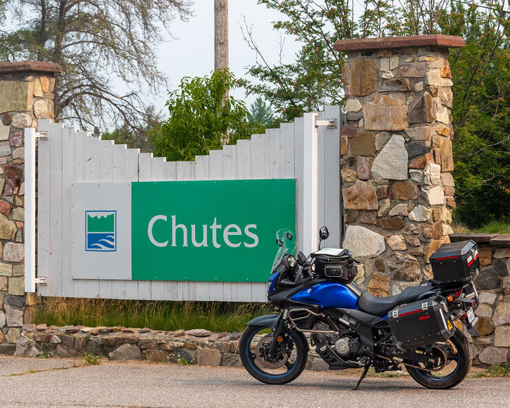
On Saturdays, I often ride 550–650 kilometres touring the Kawarthas and the Haliburton Highlands. At 481 kilometres, the ride to my campsite in Chutes Provincial Park in Northern Ontario was less than my usual Saturday outing. Why then did I think that Northern Ontario was so much farther?
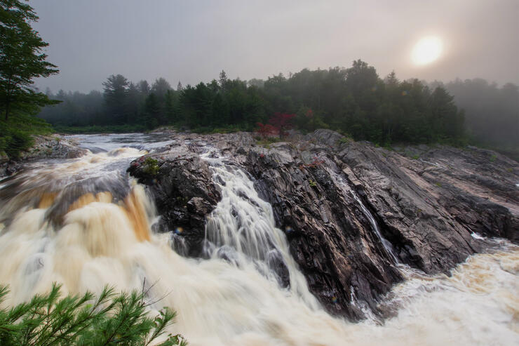
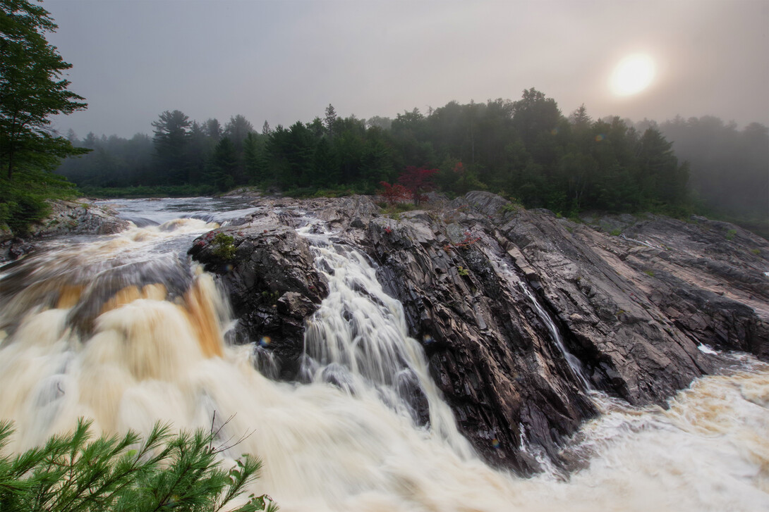
The next day, with a good meal, a campfire, and a good night’s sleep behind me, I was ready for the ride to Manitoulin Island. I awoke early to photograph the falls at Chutes Provincial Park in the golden-hour light of dawn. Unfortunately, though the forest fires were hundreds of kilometres away, the smoke turned the golden hour into something more akin to the grey hour. I grabbed a few shots and gave up.
The slowest way from point A to point B
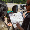
Seek out and chat with local motorcycle riders is some of the best motorcycle touring advice I have ever received. It’s not hard. They’ll usually find you. The locals know the best roads: the longest, slowest, curviest, hilliest, and prettiest ways to get from point A to point B.
A camp maintenance worker, and motorcyclist, suggested I ride Lee Valley Road out of Massey to Espanola and Highway 6, the highway to the swing bridge that gets you onto Manitoulin Island. Lee Valley Road, part of The Great Lakes Waterfront Trail, is a scenic and relaxing ride. Almost immediately out of Massey, you cross the Spanish River before riding past some traditional Mennonite farms. It occurred to me I should keep my eyes peeled for horse-drawn buggies. Good thing because I almost immediately encountered one. Despite slowing down, my motorcycle, regrettably, spooked the horse. Fortunately, the expert buggy driver had everything in hand. Approaching Espanola, the road parallels an escarpment, although it was a little hazy and hard to see. Riding down Highway 17 (the TransCanada) to Espanola would have paled in comparison.
The gem of the trip
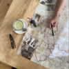
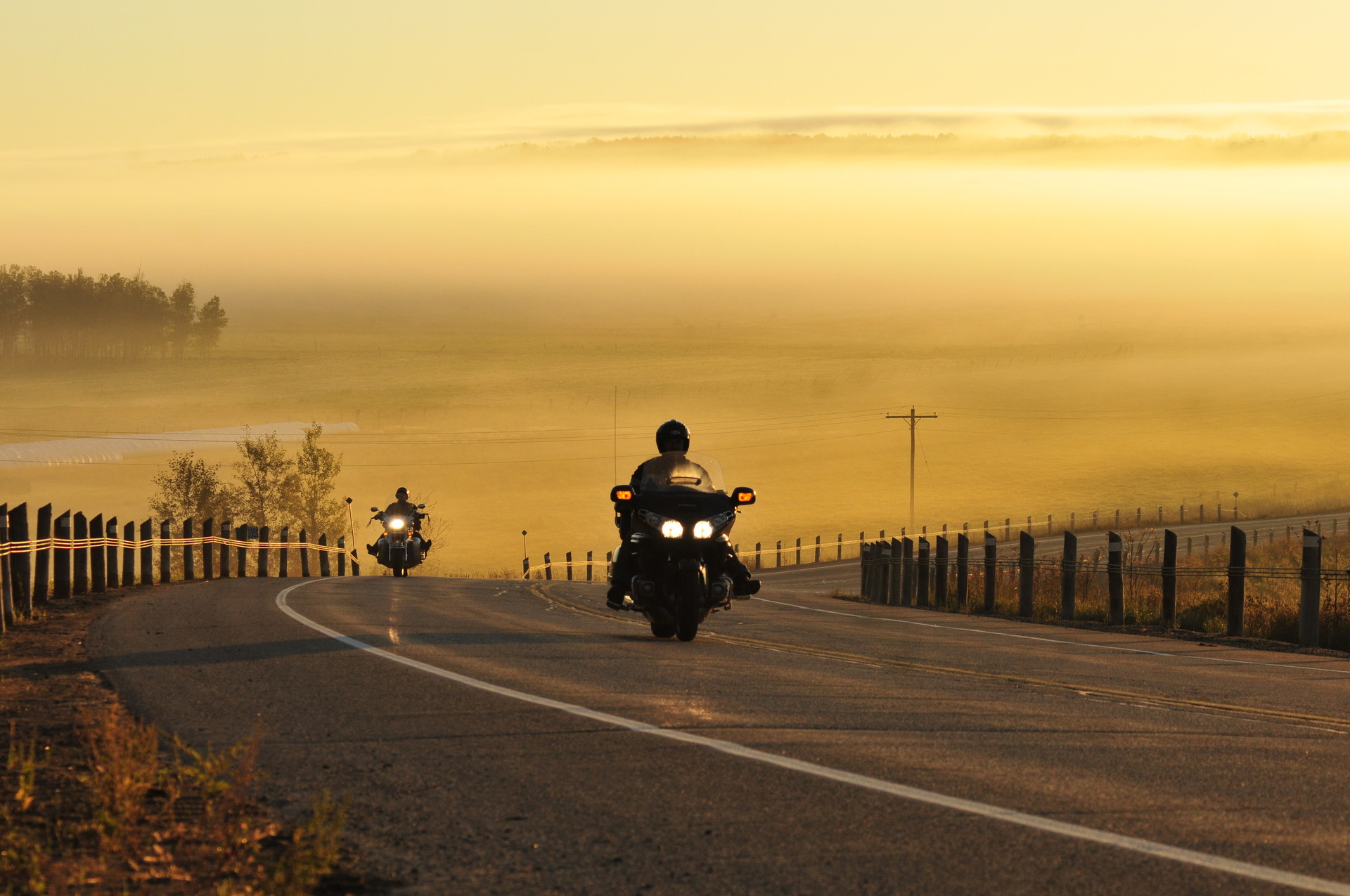
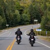
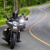
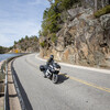
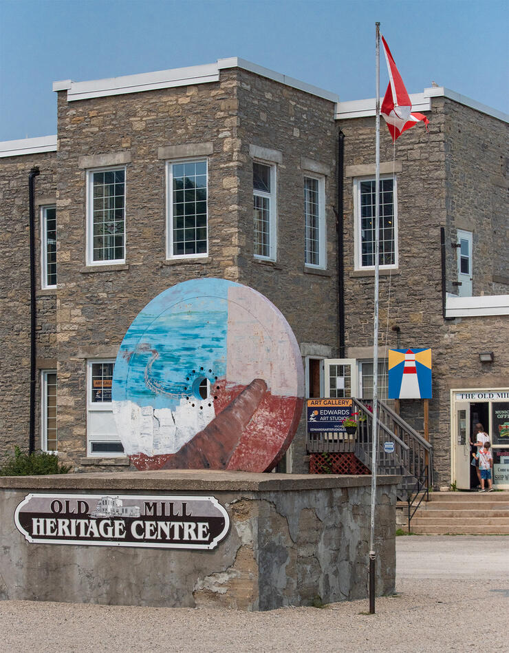
There are two ways to drive onto Manitoulin Island. You can travel by ferry from Tobermory to the South Baymouth Ferry Terminal, or drive around through Sudbury or the Soo and down Highway 6, across LaCloche Island, and across the swing bridge to arrive at Little Current on the island from the north. That’s the way I was going. This turned out to be the gem of the trip. Highway 6 curls its way around the rocks and over the islands before arriving at the bridge. The hilly terrain and curves made time fly. The fact that traffic was all but nonexistent, typical of most roads in the North, was a bonus. It was also suggested that I look for the tourist centre on the right as soon as I got across the swing bridge at Little Current. There I was greeted by friendly staff who provided me with some helpful materials.
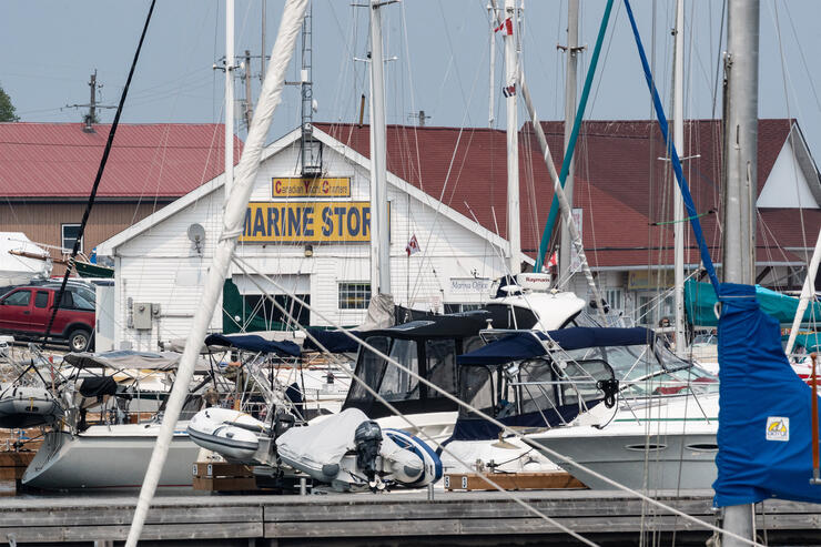
At 1766 square kilometres, exploring Manitoulin Island turned out to be a bigger task than I thought. It is the largest fresh-water island in the world and has over 100 of its own lakes. Some of these lakes have their own islands, like Treasure Island on Lake Mindemoya. This all adds up to a lot of places to explore, and lots of things to do.
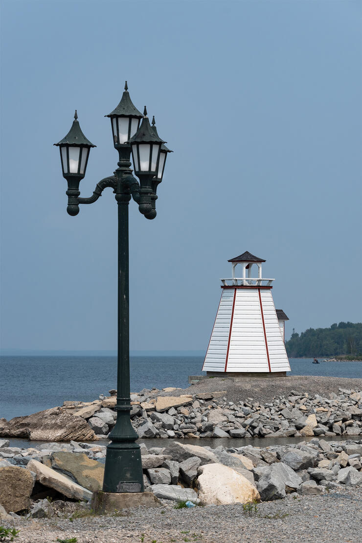
I rode a loop from Little Current, through the towns of Kagawong, Gore Bay, and Mindemoya, before arriving back where I started. I saw lighthouses, marinas, recreational and holiday activities and facilities, hayfields, cattle farms, and entrances to hiking trails. Since this turned out to be a scouting trip, I just rode past. But, the idea of a return trip was starting to form.
About forty percent of the island’s year-round population are Anishinaabe. I saw galleries and other opportunities to explore culture and traditions. This is something I’d like to do on my next visit.
Different roads move me in different ways
Undulating twisties ignite my adrenaline. Scenic roads bring me peace and joy. Dirt roads awaken my adventurous spirit. Big highways stir my longing to explore faraway places. Some roads don’t do much more than connect towns, but they still offer the novelty of sights heretofore unseen. My trip to Northern Ontario and Manitoulin Island included a little of everything, just the way I like it.
On my way home, I left Highway 69 to ride ON-522 through Fowler's Corners to Trout Creek on Highway 11. I was told about this route by John, also solo touring and camping at the park. It was worth the detour. He told me he knew about more great routes, but I couldn't pry them out of him. He said he'd email the details. One can hope.
I have to go back
My trip to Chutes Provincial Park and Manitoulin Island in Northern Ontario taught me three things: 1. Northern Ontario isn't as far as I thought, 2. I definitely have to go back because there are a lot of great roads to explore, and 3. There are no dragons, just nice folk who are happy you’ve come to visit.
Recommended Articles

Bucket List Motorcycling in Ontario, Canada 2026

Ontario's Best Twisties: Five Roads to Get Your Lean On

The Big Belly Tour—A Complete List of Ontario's BBQ Joints

It's Bike Night in Ontario 2024

Ontario's Top Twisties

Have You Ridden Canada's OG Highway? Here's Why Every Rider Needs to Hit Up Historic Highway 2
23 Amazing Photos That Prove PD13 Is Still The Best Motorcycle Event Ever

Motorcycle Swap Meets in Ontario—The Complete List for 2025

And a Vespa shall lead them all...

