The 5 ADV Rides I Need To Do This Season
Editors Note: Part of the thrill of ADV riding is about veering off the beaten path and taking a chance on a route that might not be as established as your everyday motorcycle route. Some parts of these routes have been traveled and are known to be passable while others have yet to be checked out. Taking on these routes is the goal but check back on the site later to see how Steven makes out. Until then make sure to do further research before heading out on any of these.
I live on Manitoulin Island on the doorstep of Northern Ontario and one of the largest off-road playgrounds around, with thousands of miles of backcountry roads on crown land, there are dozens of routes, big and small, I want to explore. My BMW 1200GSA is perfect for these roads. But here are the areas that have risen to the top, and made it imperative that I ride them this season.
View 5 Overland Rides in a larger map
Just when you think you've reached the farthest any human can and possibly would travel into the northern frontiers, you find a First Nations community that has been there for ages. In fact, it's usually the reason the road is even there in the first place. You can usually find gas and food there too. They're usually surprised we'd venture that far north and are totally warm and welcoming. I'm certain my kilted colleague Brokentooth will back me on this.
On my routes I am including these communities where I am going to make an effort to stop by for a chat, some food and probably some laughs. If you want to know how to get somewhere, what the conditions are like, nobody knows the land better. Do yourself a favour and check it.
Giiwendnong mikaan...the northern trail.
1. Manitou North Shore
Estimated Distance: 720 km
Estimated Time Required: 2 to 3 Days
This is my backyard, so I figured our crew could do this in a day, alas we come up short due to a cracked rim—spokes overcast any day! So game on, I have to do this run again.
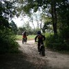
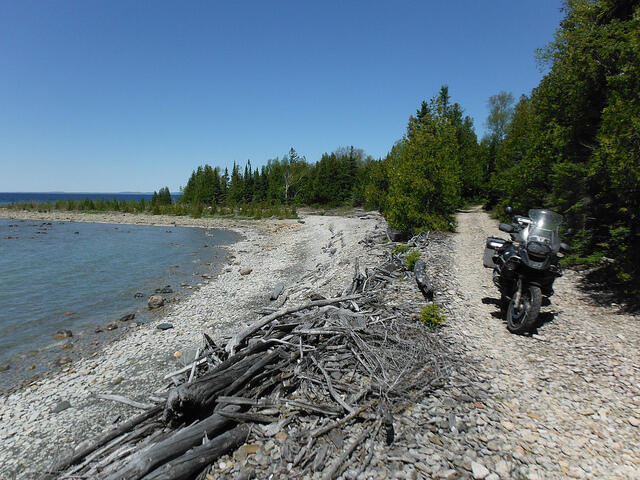
There are three cements to this and two longer gravel runs—the Massey Tote road and Portelance road. Combined, these roads offer over 300km of uninterrupted gravel riding. Sheshegwaning First Nation has an awesome eco-lodge that is perfect for the adventure rider. You travel through a single-lane bush road to get to the lodge. There is a hidden gem of a road nearby that I suggest you ask about.
From there either tour locally or head off island and burn north to the Massey Tote. You can gas up midway. There was the odd wash-out and water crossing in spring that should be gone once they grade the roads. The beauty of this run is the options it offers—you can do a one day ripper or add another 100km or so and take your time to veer off Portelance around Lake Wanapataie. Or you can cut across to Onaping and through Fairbanks Provincial Park. And if you've had enough, you can back track on asphalt down 144 south. If you decide to do it that way, do yourself a favour and take the Old Cartier Road between Cartier and Onaping...awesome sauce, it's another one of those gems.
2. Moose Factory or Bust
Can it be done? This is the Canadian version of the Darién Gap, a 160km break in the highway that links North America and South America. As with the Columbian/Panama border, this area is swampy and roads are tougher to engineer on such a landscape.
There are rumblings and rumours going through the adventure riding community of a passable summer route through to Moosonee, but no definitive answers. While there is winter road access to Fraserdale, that might be better suited to my icy pal Brokentooth, I’d like to see how far I can get in the spring/summer/fall bike season.
Right at the apex of the route—it looks like the end of the road—there is a thriving Cree community, Taykwa Tagamou Nation. This is definitely going to be the waypoint to rest, refuel and find out more about the local roads and local goings on. With the likelihood of not making it all the way, that won’t stop me. There are some choice roads getting there and back wherever that “there” ends up being. I better brush up on my Cree...Wachay!
3. The Mooseback, Awesome!
Last fall a group gravel eating ride colleagues and myself went out exploring north of Sault Ste. Marie region, the result was the Algoma ADV Loop. As we ripped across the back roads of Algoma Country, I kept seeing road after road, on and off the grid; I have to go back and explore, further, and deeper.
This is the plan: Head north and hook up with the Sultan Road and then head north to Dubreuilville and the Magpie Relay Resort. Staging from Dubreuilville, Pat Dubriel, part of our ride crew who runs the Resort has put together an “antler” of around 250km that will bring us into Missanabie Cree First Nation territory, Hawk Junction, and even the Goose if we want. Got to see the goose! Then back to home base inside a day. There is an alleged raft crossing on this route!

4. Nipigon Hook
OK, we are starting to really get north now, and getting there is more than half the journey. The idea of being way up north turns my world.
There are several choices to get to Nipigon: The Grand Algoma and Lake Superior Circle Tour can provide top shelf hard top feeder routes to get you there from either direction. These hard top routes are considered some the best highway riding in Ontario—the route is remarkable, even before it starts!
I really like the Superior coast and Terrace Bay is a beautiful little town that I want to visit again so I figure I will head north from there. It appears to be about an 800km overland trek of hard top and gravel roads hooking around Lake Nipigon where Whitesand First Nation and Armstrong Station seem logical waypoints. Or stop in Kiashke Zaaging Anishinaabek or Gully Bay First Nation on your way to Thunder Bay. Oooh I can’t wait for this ride!
5. Lac Seul Loop
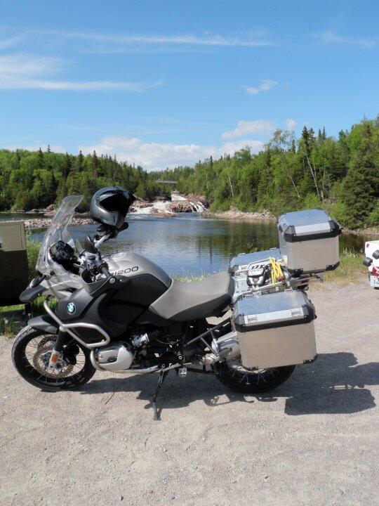
Well it's not exactly a loop. At around 1600km, this ride is approaching epic! It rivals the iconic Trans-Labrador Highway. The Lac Seul Loop could almost be two trips, but I figure I may as well hit it all up while I'm there.
I want to get to two places, Windigo Lake, Mishkeegogamang Ojibway territory to one of the farthest northern reaches by road in Ontario and traverse overland to Red Lake, and then back again around the other side of Lac Seul to make it as interesting as possible to get to each. I was cautioned by a local that the north side of Lac Seul is not as well traveled, that if I break down, I should stay with my bike and don’t try to walk out! I really should pack a SPOT GPS and fishing rod and try to throw a line in the water at some point in this trip.
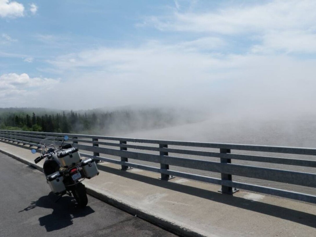
I love traveling the Superior Coast—it's another world. Big land, big water and big lake effect. There were 20-degree temperature changes in seconds—from a warm sunshine day to thick fog by the lake. The contrast was beautiful.
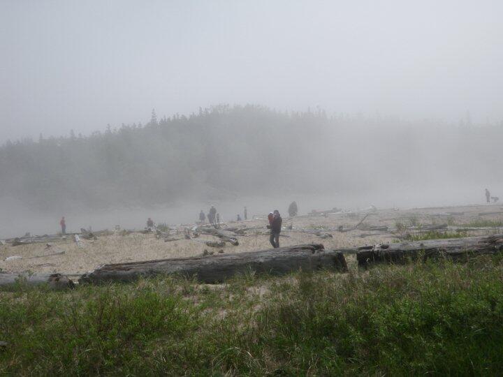
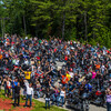
I plan to stop in and visit a few communities on the way home along the Superior Coast. There's always something going on. Above is a fishing derby at Pic River. It was National Indigenous Peoples Day a few years ago. All the community was gathered at the river mouth camping, fishing, eating...I can sniff out a feast at 10 km or more.
Recommended Articles
Bucket List Motorcycling in Ontario, Canada

Ontario's Best Twisties: Five Roads to Get Your Lean On

The Big Belly Tour—A Complete List of Ontario's BBQ Joints

It's Bike Night in Ontario 2024

Ontario's Top Twisties

Have You Ridden Canada's OG Highway? Here's Why Every Rider Needs to Hit Up Historic Highway 2
23 Amazing Photos That Prove PD13 Is Still The Best Motorcycle Event Ever

Motorcycle Swap Meets in Ontario—The Complete List for 2024

And a Vespa shall lead them all...

