The History Behind "Ride Lake Superior"

Many years ago at the time of creation, Gitchi Manitou, the Creator, with the help of the crane, selected a home for the Ojibway people of Batchewana First Nation (BFN) along the eastern shore of Lake Superior (Gitchi Gomii). Their original instructions were to maintain the shoreline and fisheries, and look after the land from Sault Ste. Marie (Bawaating) to Marathon (Pukaskwa) and inland along the 30-mile watershed. The crane stayed around, providing leadership, guidance and the foundation of the clan that Chief Dean Sayers was born into and now leads. A hereditary Chief, all the fathers before him other than his own, were Chiefs.

Translated literally Gitchi Gomii means a really kind lake. Lake Superior has sustained the Ojibway people since the dawn of time. “We know where the shoals are, where the bays are, how the winds work, how the currents work, where the fish are,” says Chief Sayers. “When the pollen is on the water, there’s a certain place we’d fish. When the strawberries are on, we’d be in another place. When the blueberries are on, we’d be in another place. That’s how we’d fish—moving with the fish up and down the coast, always revisiting our permanent village in Bawaating. We know all the land,” he continues, “—the interior, the mountains, the rivers, and where the medicines grow.”
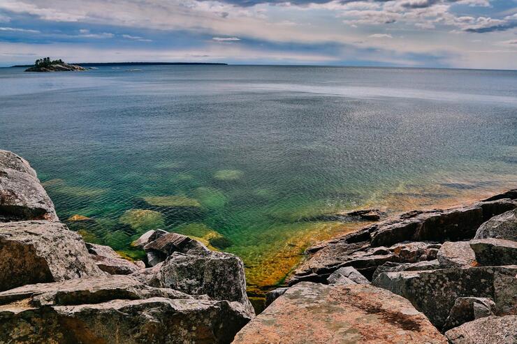
Fortified with new awareness of the Ojibway culture, I visualized what the area must have once looked and felt like. As remote and rugged as it seems today, it wasn’t long ago that transportation through the area was by water, with villages dotting the coast, strategically positioned in the lee of the shoreline to protect from prevailing winds. Sacred sites, vigorously protected to this day, still exist along waterways and in forests.
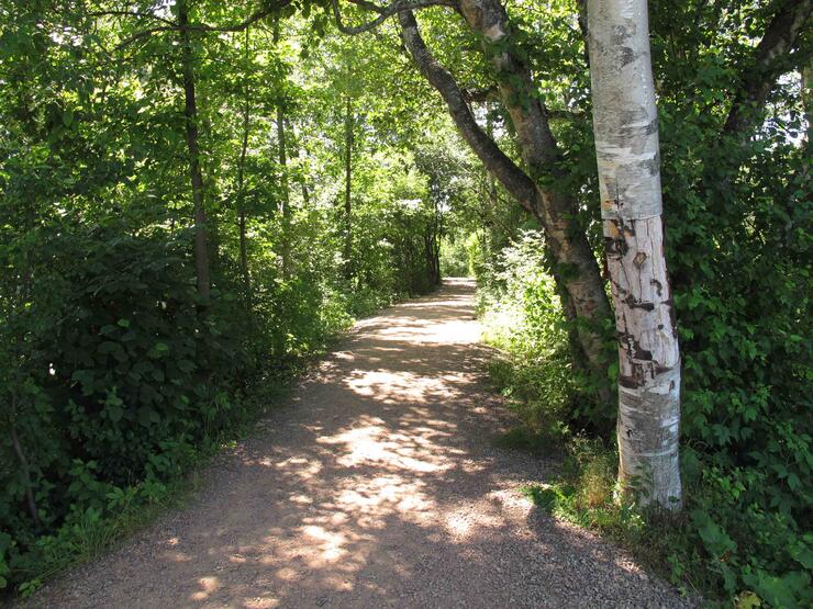
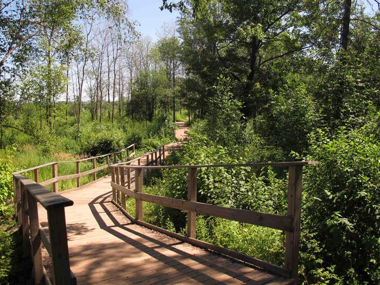
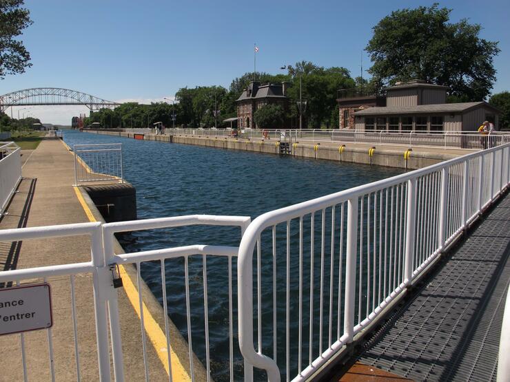
My trip began at the southern frontier. Once a community, traditional gathering place, burial ground, and still BFN territory, Whitefish Island’s 22 acres provide an urban oasis under the shadow of the International Bridge. For millennia it’s provided access to rich fisheries and a travel route between Lakes Huron and Superior. All are welcome to walk its tranquil paths, accessed via walkways at the Sault Ste. Marie Canal National Historic Site.
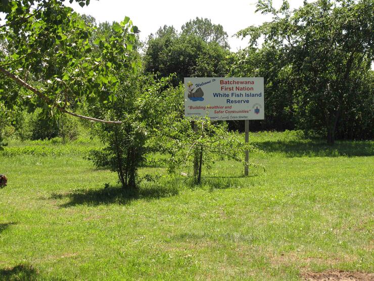
Heading north out of the city, the road initially passes inland and soon crosses the Goulais River. Goulais Mission, at its mouth is one of the larger and more traditional Batchawana communities.
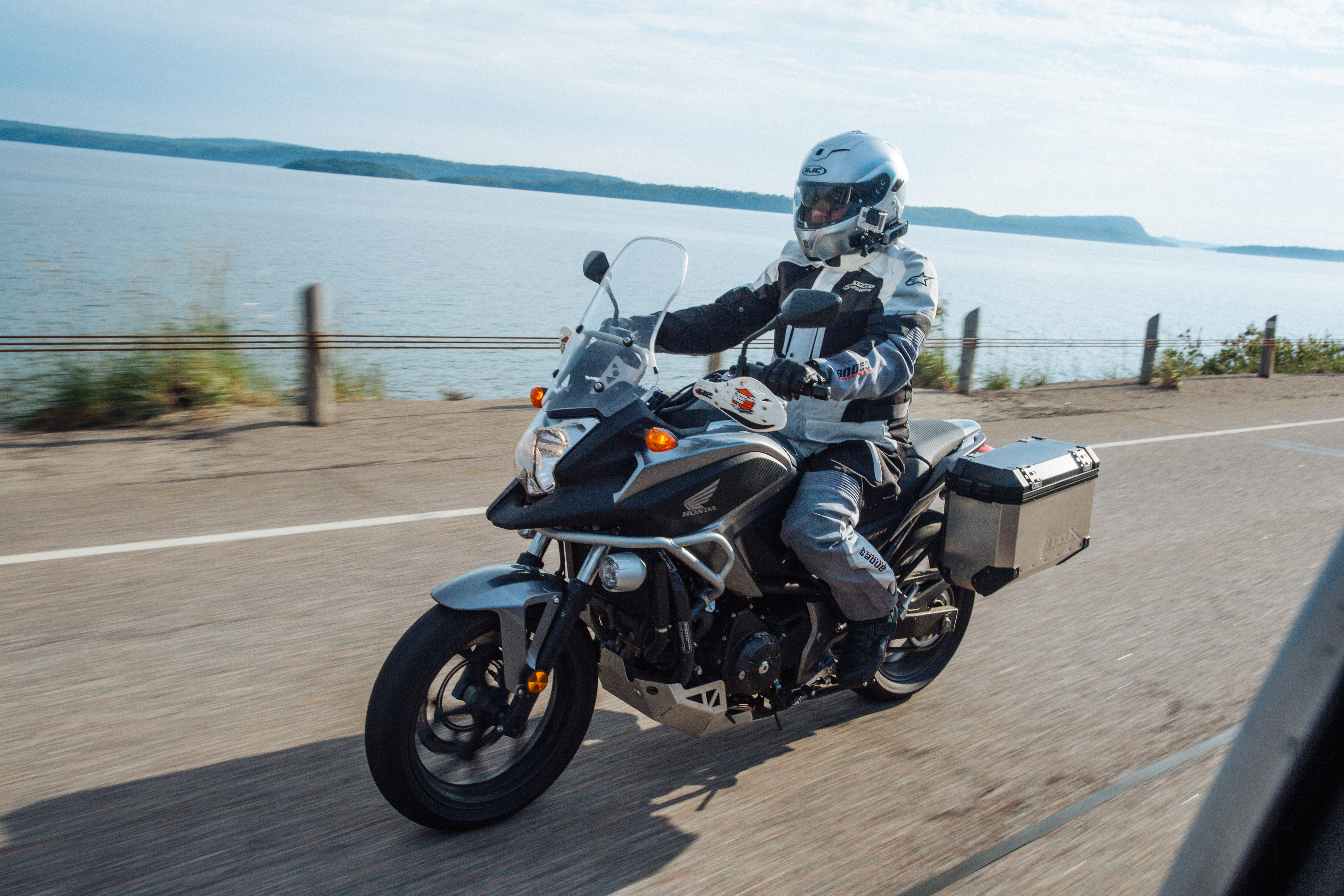
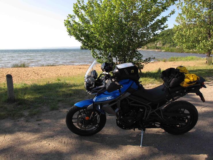
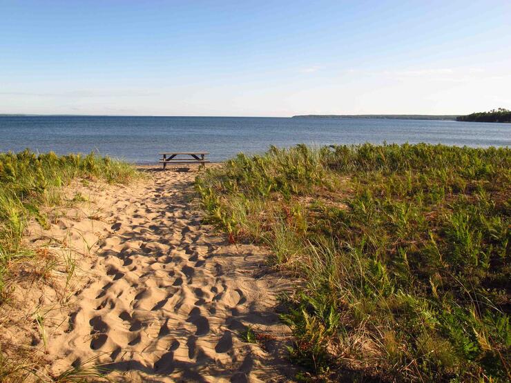
Approximately 40 kilometres north of the Soo, you’ll crest the big mountain and be awed as you catch your first glimpse of Lake Superior. A few kilometres further, the road drops, presenting a spectacular vista and taking you to the Lake for the first time. Pull off at Havilland Shores Drive to a small beach and picnic tables. That’s where Chief Sayers advised me to put asemaa (tobacco – pronounced say-maa) in the water, thanking that water, thanking Gitchi Gumii for her work. “Your journey will be even more enriching and the spirits will travel with you and show you things.”
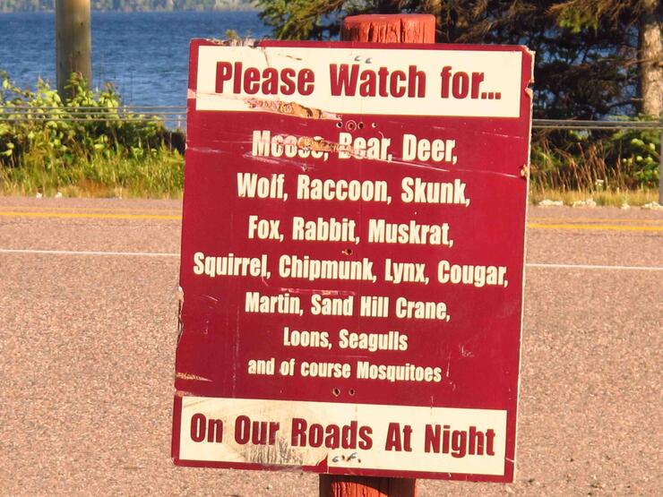
Batchawana Bay and Agawa Bay bookend the next 100 kilometers, as the road hugs the shoreline where trade and culture once thrived. Each was the site of a Hudson’s Bay Company (HBC) trading post and is still home to BFN people.
Batchawana Bay is also home to Mizhibizhoo, a great spirit who teaches hard lessons about looking after the earth and water of Lake Superior— and takes his job seriously. When the Thunderbird comes and throws lightening bolts at him, he flees up Batchawana River for protection in the bottomless lake at its headwaters. That’s why its water is so dark.
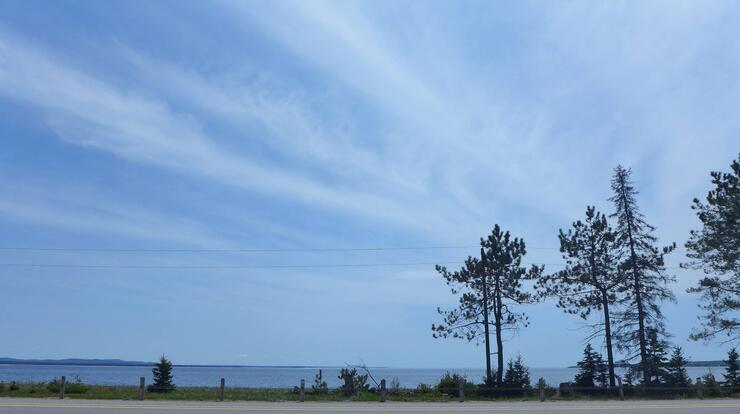
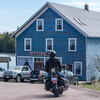
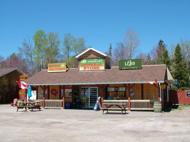
All this was food for thought as I gazed out at the Bay from my window seat at the roadside Voyageur Cookhouse.
Further along, within the boundaries of Lake Superior Provincial Park, Gargantua is an original village site and powerful place. “It’s home to the giant Nanaboozhoo, a very powerful spirit, and one of our ancestors that taught us many lessons about living in harmony with this environment,” says Chief Sayers. “The pictographs, whose true teachings are known only by Ojibway elders, talk about our stories, our spiritual beings, our relatives, and all of creation. Our ancestors have been here since creation and we have a very significant spiritual connection to this land.”
After my education, I couldn’t help but see through a new lens. The next time you ride through, accept the lessons and gifts of the water and land to deepen an already rich experience. Adopt a new tradition. “Laying down asemaa is done in respect and recognition of the environment, and its delicacy,” offers Chief Sayers. “We give thanks for everything in creation for continuing to do their work, taking nothing for granted. We respect, look after it and protect it as much as we can. We respect the spirits that are out there and thank them for helping us. Using asemaa is really important for us. For anybody.”
If you're riding this route, stop and stay at one of the Provincial Parks, adjacent to historic Ojibway communities.
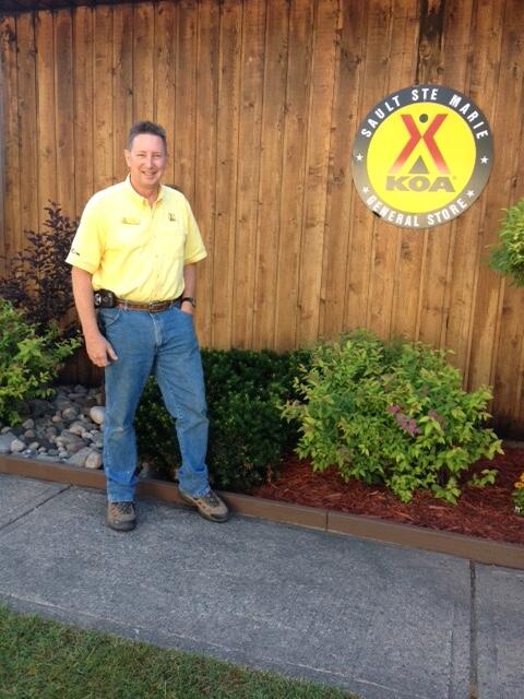
While in the area, the multi-award winning SSM KOA served as my base of operations. It’s rider run by Bill and Joan Richard. From 1971 to 1996, Bill raced AMA Pro and Amateur 250 GP Road Racing, 500cc MX, 250cc Flat track and Desert 500.
Other places to camp are the Batchawana Bay Provincial Park and the Agawa Campground, Lake Superior Provincial Park. They’re both located in the area of Ojibway communities mentioned in the article.
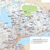
For more on places to stay, places to see and a full route around Gitchi Gomii, go to the Ride Lake Superior site. Designed for motorcycle tours around the lake, it's the perfect starting point for your own adventure!
Ready to start your own motorcycle tour of Lake Superior? Check out Ontario's Interactive Motorcycle Tour Planner.
Recommended Articles

Bucket List Motorcycling in Ontario, Canada 2026

Ontario's Best Twisties: Five Roads to Get Your Lean On

The Big Belly Tour—A Complete List of Ontario's BBQ Joints

It's Bike Night in Ontario 2024

Ontario's Top Twisties

Have You Ridden Canada's OG Highway? Here's Why Every Rider Needs to Hit Up Historic Highway 2

23 Amazing Photos That Prove PD13 Is Still The Best Motorcycle Event Ever

Motorcycle Swap Meets in Ontario—The Complete List for 2025

And a Vespa shall lead them all...

