BIG Paddling Getaways in Northeastern Ontario
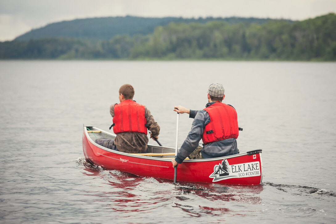
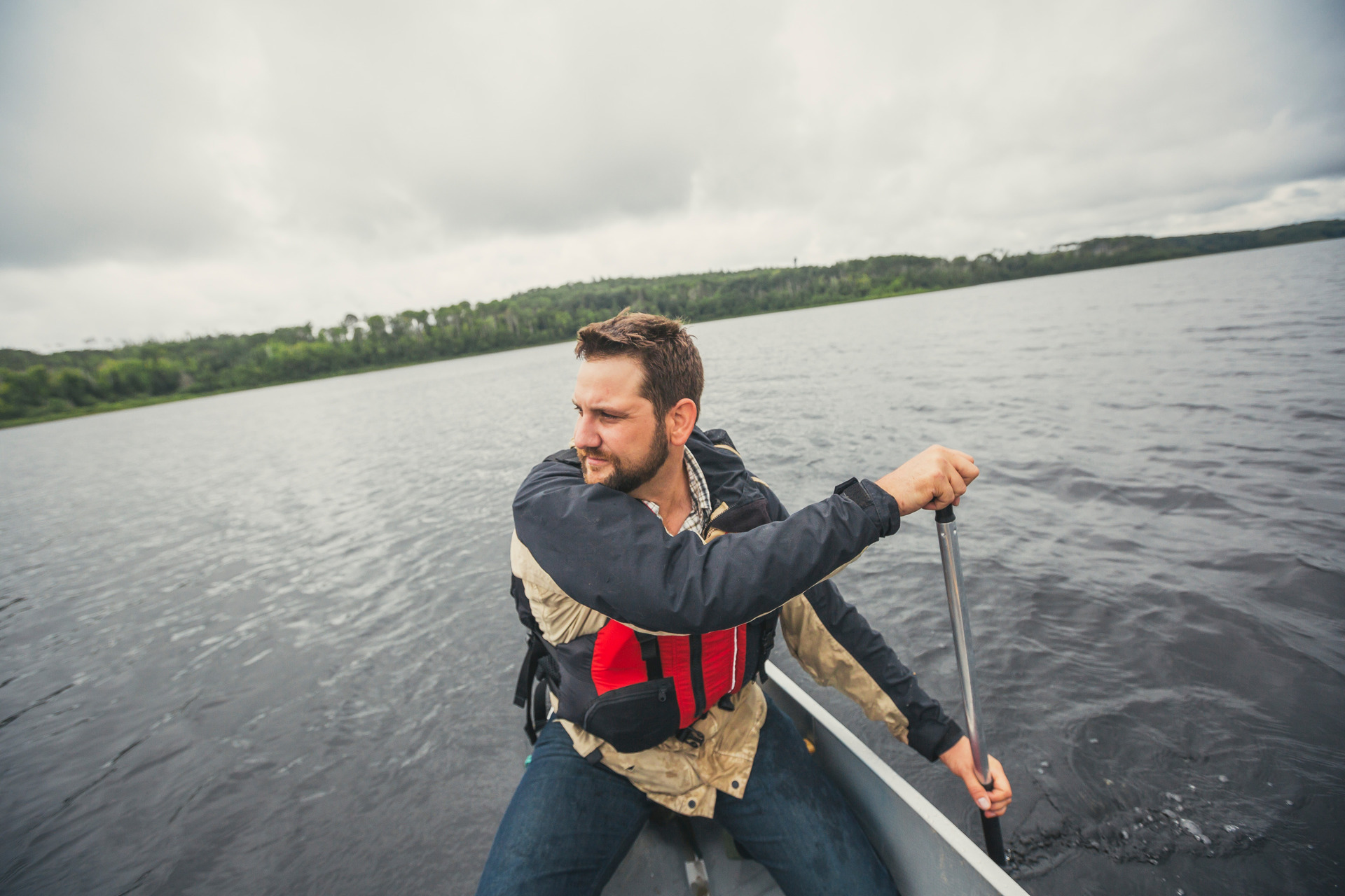
This is it - your next BIG idea - canoeing or kayaking in Northeastern Ontario, a playground for paddlers! When you think about it, the region touches Algonquin Provincial Park; includes the historic Ottawa, French and Mattawa rivers; the pristine Lake Temagami/Lady Evelyn-Smoothwater wilderness; and many of the dynamic rivers at the height of land flowing in two different directions - northwards towards James Bay, and south to the Great Lakes. Where else is there so much choice and diversity? The region is a canoe/kayaking mecca – a natural choice.
Where to go? Think about your accommodations and whether you want an overnight camping trek, or a series of day trips with your canoe or kayak. There are plenty of communities and service providers. You may be doing a day trip, a loop or linear; trip planning requires a beginning and an end. Surely you won’t deprive yourself of ice cream this season. ...and like ice cream, each area has its own flavour when it comes to diversity – now it’s your turn to discover your next BIG on-the-water adventure in Northeastern Ontario followed by the one after that! For your next adventure, the following is a potpourri of Northeastern destinations and a brief summary of the landscape you will paddle through.
Mattawa
If you always wanted to be a voyageur and travel in the footsteps our Canadian legends, the Mattawa River is a good place to start. Stretching between North Bay and the Town of Mattawa, on the Quebec border, you'll find this historic waterway, which is designated as a Canadian Heritage River. This was once an important route for voyageurs, trappers and loggers, and before them, the early aboriginals who began inhabiting the region more than 3000 years ago. It is a leisurely two to three day paddle with a visit to the Native ochre mine - ochre being a reddish-coloured pigment that was used for drawing pictographs or rock art. Or consider day trips starting from near North Bay, Corbeil, Rutherglen or Pimisi Bay on Highway 17. Paddle upstream to the famed Talon Chutes, or downstream to a destination at Samuel de Champlain Provincial Park. If you're looking for a comfortable place to rest overnight, be sure to have a look at the Canadian Ecology Centre, conveniently located within the park! You'll also want to see Parreseux Falls.
Cochrane
Cochrane is an area of BIG water, all flowing to James Bay. It is the land of black spruce and the Boreal forest. There is one journey to a destination in Northeastern Ontario where you will enjoy a breathtaking vista, a towering gorge, and where you can revel in the sounds of the roaring water as it plunges into a pool many tens of metres below. Because of the narrow gorge, it always has a great deal of mist. If you're venturing on a wilderness trip or a good overnight, the Abitibi River provides both. Whether you are paddling to the coast, or on an overnight down-and-back to visit New Post Falls - a must see - you will start just below the Abitibi Canyon Dam. The Abitibi River flows northwest from Lake Abitibi to join the Moose River which empties into James Bay. This river is 540 km long, and descends 265 metres. The river was an important fur trading route for the Hudson's Bay Company. The secret is New Post Falls, one of the “biggest” finds in the region. It can be a good overnight down-and-back trek. For more spatial information, click here.
French River
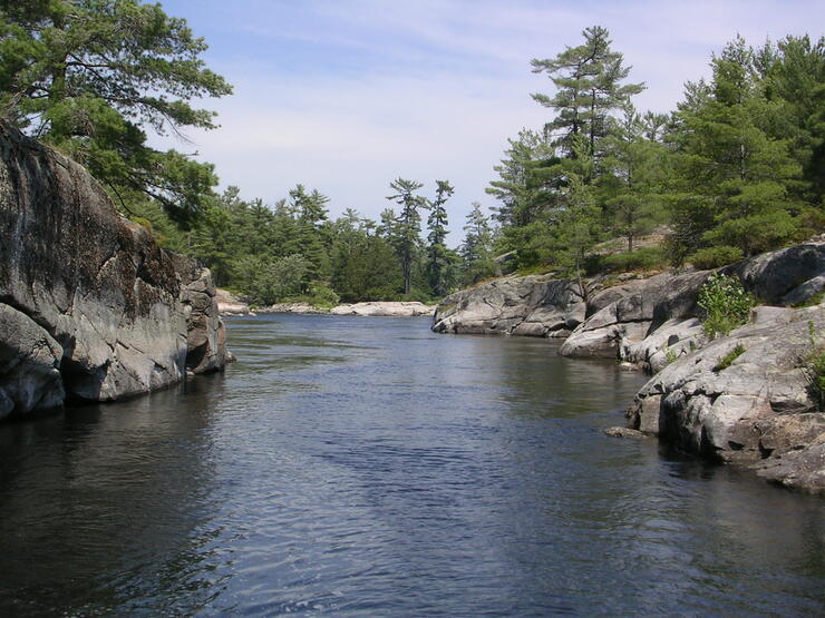
A river of national historic significance, the French River was the first designated Canadian Heritage River. Paddle the route of First Nations, French and English explorers, fur traders and voyageurs. The landscape changes as you leave Lake Nipissing and travel the 100 kilometres to Georgian Bay. The French River is an ancient Canadian Shield river which still plays an important role in the drainage of the Georgian Bay watershed. Its notable geological features illustrate the building of the Canadian Shield 900 to 1600 million years ago; an extensive bedrock delta on Georgian Bay which displays spectacular evidence of glacial erosion and the many areas of exceptional natural beauty, characterized by narrow bedrock-lined channels, islands, rapids, and falls. You will discover Recollet Falls en route!
Kapuskasing
Kapuskasing lies in the heart of the Great Clay Belt. The topography of the region is very flat, dotted with numerous small lakes and muskeg bogs. Also in the heart of Canada's boreal forest, the region is drained by rivers running north to James Bay. The district is heavily forested, mostly by thick stands of black spruce trees, and wildlife is abundant. Species such as moose, black bear, lynx and red fox are commonly seen in the area. Lakes and rivers are well populated with walleye, northern pike and yellow perch. There are many rivers to choose from but consider the mighty Missinaibi and Thunder House Falls! Set your compass bearing for here.
Killarney
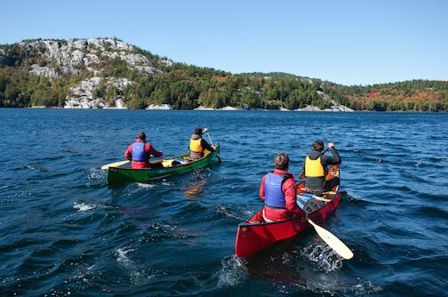
Canada's most famous painters, The Group of Seven, are said to have been responsible for the creation of Killarney Provincial Park. Three of the group painted extensively in the park and brought the area to prominence. Once you visit, you quickly understand their passion. This is an enchanted region; with bright white quartzite hills contrasted sharply by wind-swept green pines, red granite shorelines and the emerald waters of Georgian Bay. Killarney Provincial Park and access to Georgian Bay is your destination. A must-see is Silver Peak, a wonderful canoe and hike tandem adventure. For more spatial information on a variety of canoe routes, click here.
Kirkland Lake
The geology and terrain of Ontario are best understood by first examining the foundation of bedrock geology underlying the surficial deposits and landforms. The Kirkland Lake area is nestled in the resource-rich Precambrian Shield, the oldest geological formation on the planet. Nearby is the Arctic Watershed. Waters flowing south of this height of land (318 meters above sea level) flow into the Saint Lawrence River and on to the Atlantic Ocean. North of this point, all waters flow into Hudson Bay and on to the Arctic Ocean. You will want to canoe or kayak to Northeastern Ontario's Stonehenge on Larder Lake and view Mount Cheminis. A natural choice for day or overnight trips is the Larder River. For more spatial information, click here.
Manitoulin Island/North Shore
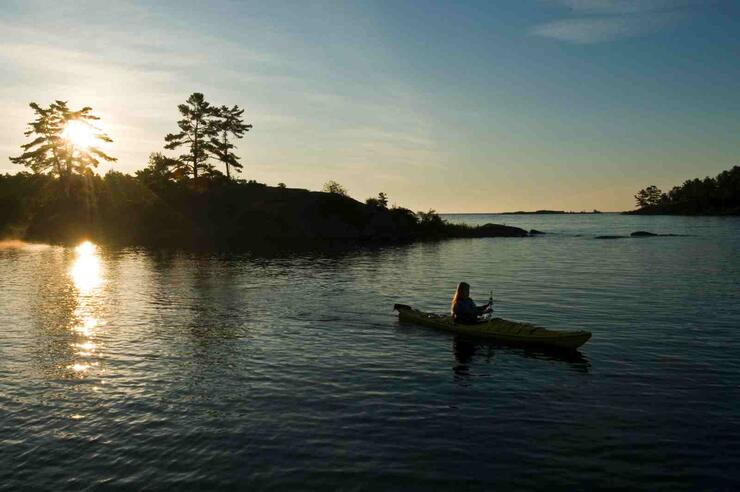
Manitoulin Island and the North Shore are blessed with incredible natural beauty mainly because of the rocks. Its rocks are oddities, limestone left over from the great inland sea. When compared to the granite of the Canadian Shield found in most of the region, the background here is the white quartz and limestone rock and the alvars that make the island the exception. Five hundred million years ago, Paleozoic limestone was deposited in shallow, tropical seas at the time over top of the bumpy landscape of the Canadian Shield. The North Channel is one of the most scenic places to kayak in Ontario. Twisting its way between Manitoulin Island and Lake Huron, the North Channel is the perfect location for a sea kayaking or paddling adventure filled with island hopping, rocky shores, and evening sunsets.
Moosonee/Moose Factory
Moosonee and nearby Moose Factory are located on the Moose River 20 kilometres south of James Bay. The town site is in the Hudson Bay Lowlands, the largest wetland area on Earth. Originally settled as a fur trading post by Revillion Freres of Paris in 1903, in competition with the Hudson Bay's Company, the town grew in importance with the arrival of the rail in 1932 when Moosonee became a transportation hub for the James Bay coastal communities. If you are sea kayaking, Moosonee serves as a gateway to the north and a launching point for further destinations, whether across the Moose River to Moose Factory, or further north up the western coast of James Bay to neighbouring First Nation communities. For more information for the Missinaibi River - Mattice to Moose River Crossing canoe route, click here.
North Bay
North Bay is geographically unique in that it straddles both the Ottawa River watershed to the east, and the Great Lakes Basin to the west. The area contains a number of ancient volcanic pipes, including the Manitou Islands and Callander Bay, as well as many exposed dykes and five named batholiths (Timber Lake, Mulock, West Arm, Powassan and Bonfield). The city's urban core is located between Lake Nipissing and the smaller Trout Lake. North Bay is critically situated at the junctions of Highway 11 and Highway 17. This means that canoeing and kayaking adventures can take off in all directions. It is a great place to start your Ottawa, Mattawa and French River trips, and it is ringed by provincial parks. And don’t forget Lake Nipissing, the fifth largest lake in the province, perfect for day trips with plenty of access points. For more information about a great canoe route from Trout Lake to Samuel de Champlain Provincial Park, click here.
Sudbury
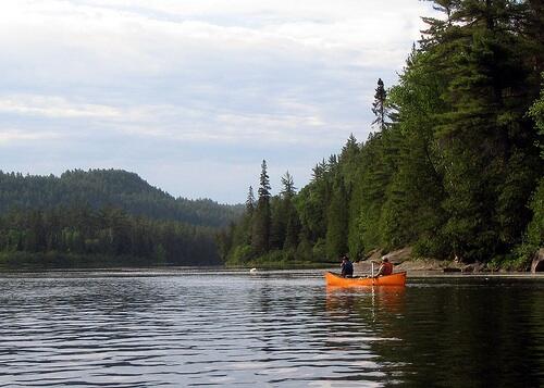
The Sudbury region is a gateway to canoeing and kayaking. It has the access points to the northwestern portion of the Sturgeon River-Lady Evelyn-Smoothwater-Temagami wilderness area and the highest point in Ontario, the Ishpatina Ridge! But you don’t have to go far. “What a view!” That’s what you’ll say when you enter Wolf Lake, which has some of the largest stands of red pine in the world. But, there is a BIGGER secret, the “blue lagoon.” Both are located within the City of Greater Sudbury. Most canoeists who pass along the river don’t even know it exists as it lies off the portage and across from the main course of the Chiniguchi River and associated waterfall. Most people see the falls but portage right past the “blue lagoon.” The water of this circular, seemingly bottomless lagoon is often described for its “Windex” like colour and is surrounded by steep rock walls of granite and quartz. For more spatial information about canoeing the Chiniguchi River and the Blue Lagoon, click here.
Temagami
For canoeing enthusiasts the word alone, conjures up and inspires the vision of wilderness, and you won’t be disappointed. Temagami was the inspirational home of the famed conservationist Grey Owl. It is the epitome of what the rugged Canadian Shield represents, lakes and rivers, white and red pine. Make Maple Mountain a destination! The town hub will point you and your canoe in all directions with plenty of access points like the Red Squirrel Road, a great place for put-in or day trips. There are too many canoe trips to choose from. To get you started for your trip planning, click here.
Temiskaming Shores
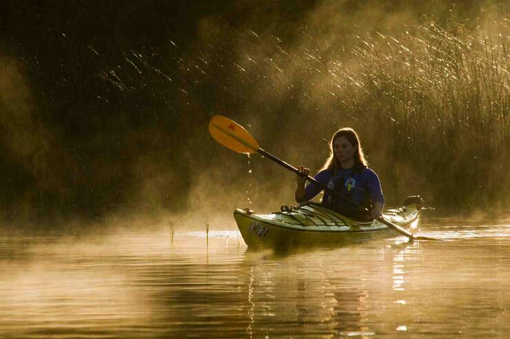
Temiskaming Shores, is where the Ottawa River cradles the natural and cultural heart of Northwestern Quebec and Northeastern Ontario. The effects of glaciation, ten thousand years ago, are most evident here. Centuries later, Canada’s first Aboriginal peoples roamed this landscape, followed by Europeans in pursuit of furs, timber and land. Its predominantly acidic, erosion-resistant substrate sustains vast forests, essential to the production of the largest supply of fresh water in the world. It is a great canoe access (west) for Maple Mountain in the heart of the Lady Evelyn-Smoothwater Park wilderness area. But there is more. It’s hard to believe that one of Northeastern Ontario’s best and most accessible vistas is seldom seen. The Devil’s rock view is something you will want to see from your canoe or kayak and from above. This view would become very important to one of Canada’s most successful writers, Leslie McFarlane, author of the Hardy Boys series of books. The sheer height of the cliffs will take your breath away. For a paddling route to Maple Mountain via canoe or kayak, click here.
Timmins
Canada’s boreal landscape contains more lakes, rivers and wetlands than any comparably sized landmass on Earth. It has been estimated that the boreal region contains over 1.5 million lakes, with a minimum surface area of 40,000 square kilometres, as well as some of Canada’s largest lakes. With its extensive forests, Canada’s boreal zone provides habitat for diverse wildlife. This includes half of Canada’s 300 bird species, and a wide range of mammals. It is a great place to start your canoe and kayak overnight and day trips. A natural choice is the famed Mattagami River; Timmins can become your destination or your starting point in two directions! For a route from Gogama to Smooth Rock Falls, through Timmins, click here.
Recommended Articles
The Seven's Best Hikes, Biking Trails and Lakes

7 Best Spots to Check Out in The Seven

Budget Bliss: Explore Northeastern Ontario Without Breaking the Bank

Bring Your Fam!

Time to Unwind: 6 Spa Havens to Discover In The Seven
5 Amazing Places to SUP in Northeastern Ontario

5 Amazing Bike Rides to Discover

Northern Lights in Northeastern Ontario

Northeastern Ontario's Best Pride Festivals

Fish for one of the World's Rarest Species of Trout

An Insider's Guide to Manitoulin Island

6 Small-Town Gems to Explore in Northeastern Ontario

11 Best Things to Do in Kapuskasing, Ontario

