24 (Stunning) Photos to Inspire a Road Trip up North
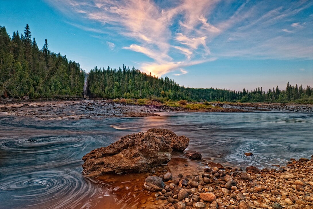
Ontario offers many stunning vistas for those willing to explore, and Northeastern Ontario has some of the most scenic destinations within the province ranging from the easily accessible to the downright remote. Hitting the road to explore some of these locations in the fall season will reward travellers with the peace and solitude that these destinations can provide.
Let’s begin our road trip through the Region in Killarney. To reach the Killarney area we will drive north on Highway 400 to Highway 69, past Parry Sound to Highway 637. This area is home to the crown jewel of the provincial park system, Killarney Provincial Park, and the quaint town of Killarney. Killarney is noted for its white quartzite rock faces known as the La Cloche mountain range. An early morning stroll down to the beach at the George Lake campground provided me with this beautiful, view of this stunning feature as it towered high above George Lake.
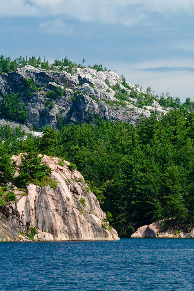
To view the pink granite ridges along the Georgian Bay side of the park, just go for a hike along the 3-km Chikanishing Trail. As you approach the water’s edge you will see an iconic-looking Georgian Bay island just offshore. Using a wide-angle lens I was able to create a scene that complemented the island and also revealed the pink granite on the mainland.
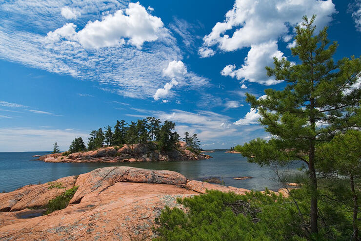
In the town of Killarney, Red Rock Point at the East Lighthouse offers beautiful views of Georgian Bay with more pink granite outcrops along the shoreline. These are perfect for creating abstract yet intimate scenes of the Georgian Bay shoreline.
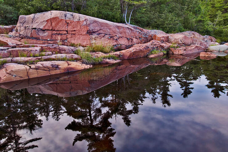
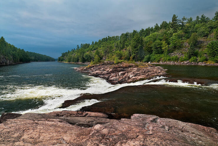
Now that we have seen the beauty of Killarney, let’s head back southbound on Highway 69, until we reach the information centre for French River Provincial Park located just south of the French River. There is a short trail here that follows the river downstream to Recollet Falls.
During my hike to this small but pretty cascade on the river I could see dark storm clouds in the distance – however, I wouldn’t let them deter me from my quest. Often it is best to photograph waterfalls in overcast light so that the scene is bathed in even lighting. After creating a few compositions I packed my gear so that it would be safe and dry for the hike out. Sure enough the sky opened up and I was thoroughly soaked from head to toe by the time I arrived back at my car, but it was more than worth it for the results.
Travelling farther north along Highway 69 towards Sudbury we will take the Highway 17 West exit towards Sault Ste. Marie. Stay on Highway 17 until we get to the Highway 144 exit, where we will head north towards the city of Timmins. A worthwhile side trip continuing down Highway 17 to the town of Massey rewards us with beautiful views of the Aux Sables River in Chutes Provincial Park.
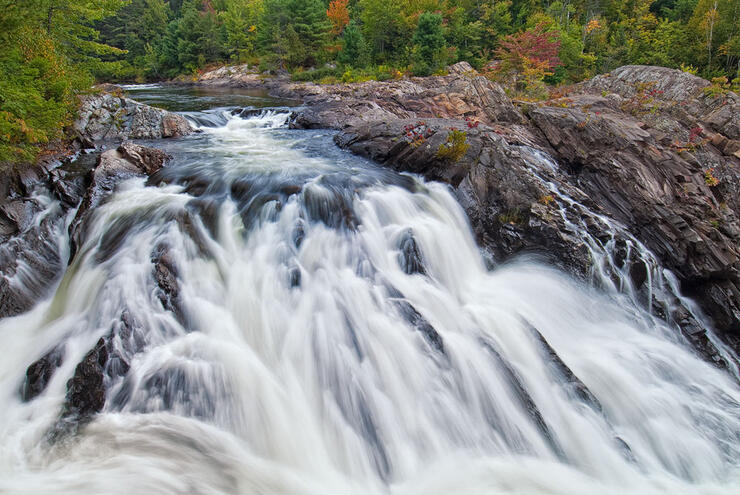
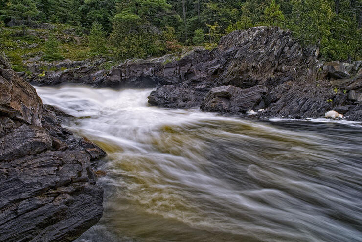
The Twin Bridges Trail offers an easy walk upstream to view additional sets of rapids and smaller cascades, especially as you get closer to the two bridges over the river. Accessing the river bank here is relatively easy, but you should still take precautions when doing so. By photographing from a low perspective I was able to create this scene that puts the viewer “in” the river to feel the rush of the raging waters.
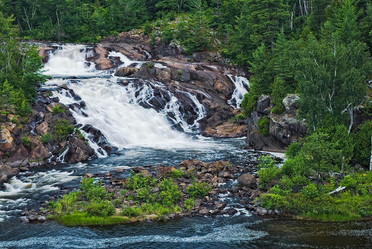
After the Chutes Provincial Park side trip it is time to retrace our drive easterly along Highway 17 to Highway 144 and head north. On the way we stop at the scenic Onaping Falls. The spectacular view here was particularly interesting to Group of Seven painter A.Y. Jackson. A short walk on the trail system towards the river reveals the falls in greater detail. Sadly, the rocks around the waterfall have been scarred by graffiti, which I removed in Photoshop.
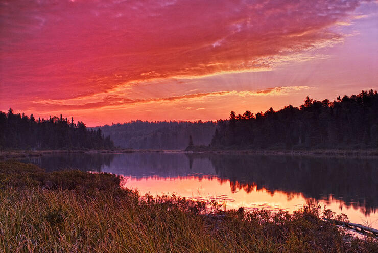
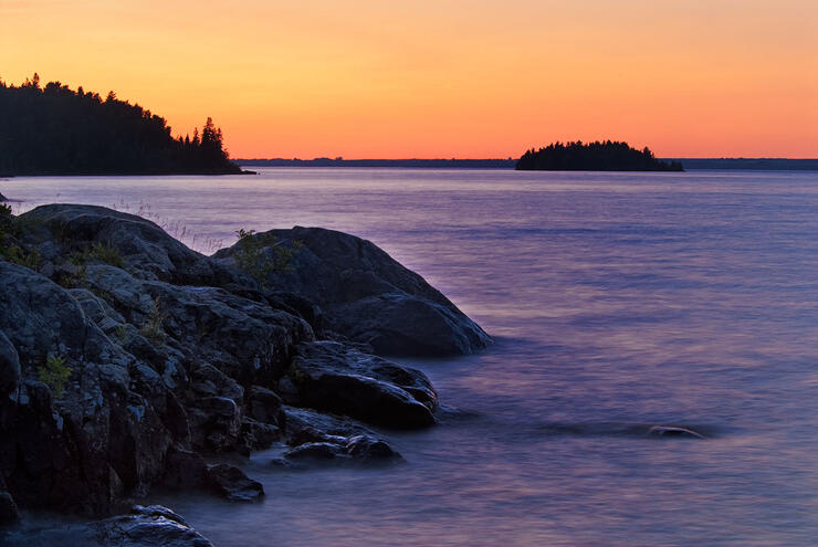
After our short stop at Onaping Falls we continue our journey north and stop to spend the night at Halfway Lake Provincial Park, located on Highway 144. Early risers on Halfway Lake Provincial Park’s Antrim Lake are rewarded by a dazzling sunrise. Often, when photographing sunrise images such as these, I need to use a graduated neutral density filter to better control the dynamic range within the scene. A selection of these filters should be in every landscape photographer’s gear bag.
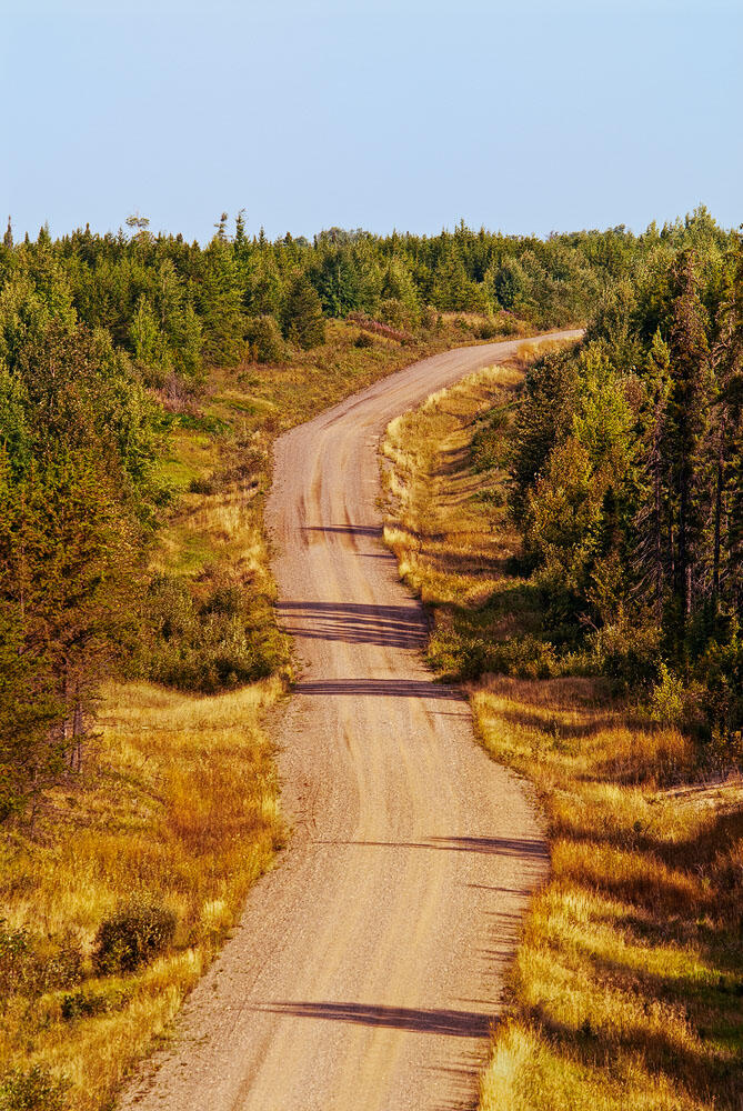
The next stop on our exploration of Northeastern Ontario will be Abitibi Canyon to see New Post Falls. This is perhaps the most stunning of all Ontario waterfalls. To reach this remote destination we continue north on Highway 144 to Highway 101, then head east towards Timmins. Once we reach Timmins we head north on Highway 655 to the town of Driftwood. At Driftwood we continue north on Highway 11 to Smooth Rock Falls. At Smooth Rock Falls we top up the gas tank and head north on the desolate stretch of Highway 634 to the Abitibi Canyon. Highway 634 becomes Otter Rapids Road at the Abitibi Canyon Dam. At the Abitibi Canyon Dam we stop and create a few photographs of the majestic Abitibi River. The Otter Rapids Road is a very well maintained gravel road that connects the Abitibi Canyon Dam with the Otter Rapids Dam.
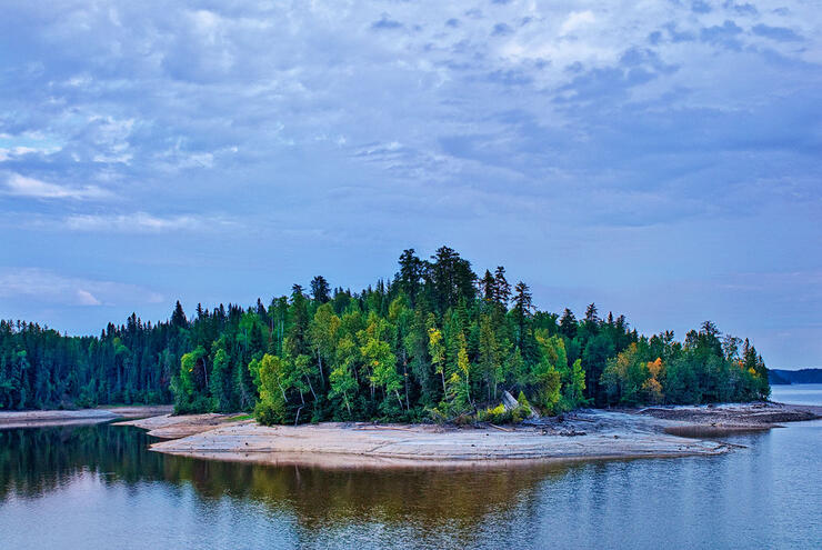
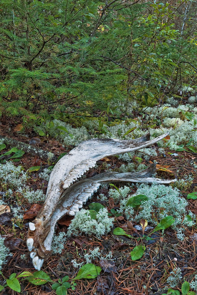
Next stop – New Post Falls. Travelling along the Otter Rapids Road to the 30 km marker we will take the small road veering off to the left. This is the road to the impressive New Post Falls. It is now likely too late to make the trek to the falls so we grab forty winks and take the short trail to the falls at daybreak. Along the trail we are reminded of the fragility of life in this remote wilderness by the sight of a lower jaw bone of a moose likely killed by wolves or having perished because it was too weak to survive the winter, providing a necessary food source for the area’s wildlife.
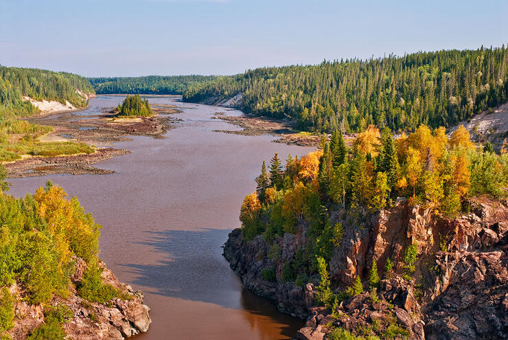
Since the plan to photograph New Post Falls at daybreak worked out so well we will now make the journey to what is essentially the end-of-the-line for Ontario roadways – Otter Rapids Dam. The view from atop the Otter Rapids Dam in late August rewarded us with peak autumn colours to photograph.
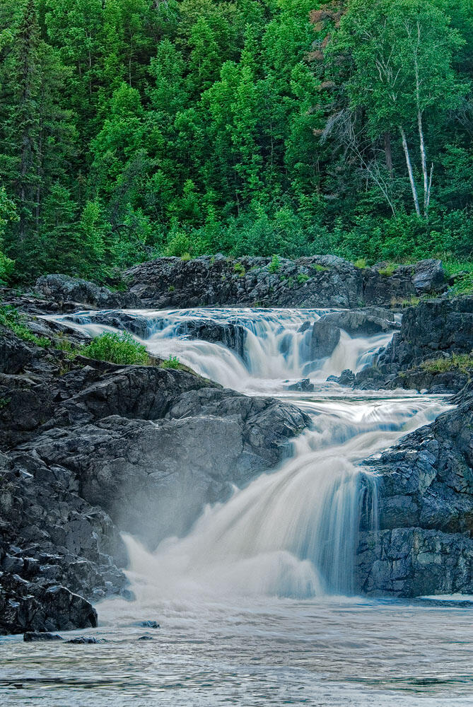
After a successful journey to New Post Falls and the Otter Rapids Dam it is now time to begin the long trek home; however, we’re sure to break up the drive with a few stops along the way. Once we get back to the Highway 634 Highway 11 junction we head south on Highway 11. Our destination is Kap-Kig-Iwan Provincial Park in Englehart. This is now a day-use park only but one that is worth every minute of time spent in its splendour.
The raging Englehart River tumbles over rugged terrain to create Hell’s Gate and Kap-Kig-Iwan. Hopefully our visit here will coincide with overcast weather conditions, for the most favourable lighting for waterfalls and rivers. Alternatively, we could wait for dusk, or plan an early morning visit to achieve similar, even lighting on the land. Interestingly enough, the raging water here have exposed over two billion years of geology.
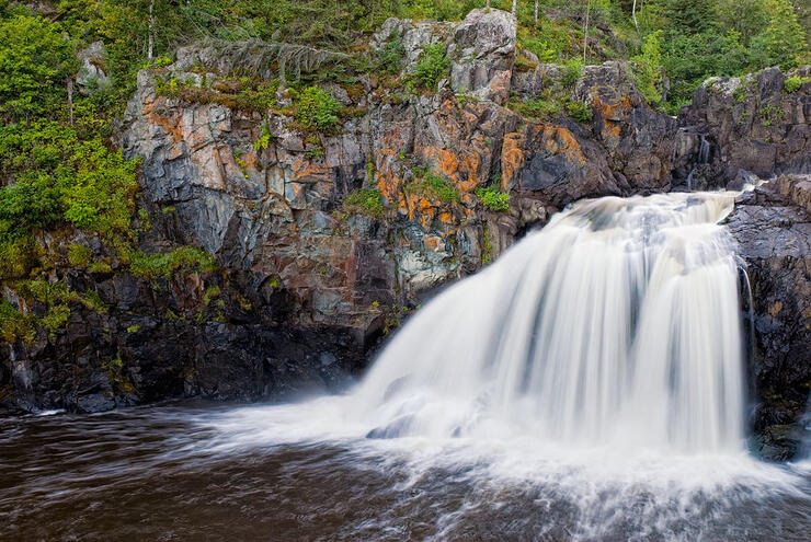
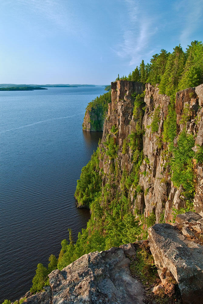
Continuing south we pass Temiskaming Shores and head towards Cobalt to Devil’s Rock on Lake Temiskaming. Once we arrive in Cobalt we follow Silver Centre Road south of town and look for a small grassy parking spot on the left side of the road a little ways past Bucke Park Campground. The 45-minute woodland trail to the top of Devil’s Rock can be found here. Alternatively, there is a trail in the Bucke Park Campground that will take you up to the top of Devil’s Rock. This sheer cliff along the shore of Lake Temiskaming is a must-see feature and at the right time of year visitors may be rewarded with views of nesting peregrine falcons.
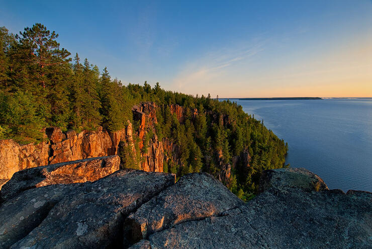
Prior to creating the next photograph I couldn’t resist the urge to set the camera down and soak up the awe-inspiring beauty of this impressive cliff face and feast on the ripe blueberries that adorn the clifftop.
Now let’s head further south toward Temagami. The Temagami region is noted for its stands of old growth forests. One of the best ways to view these impressive stands of pine trees is to climb the Temagami Fire Tower for a bird’s eye view of the surrounding wilderness.
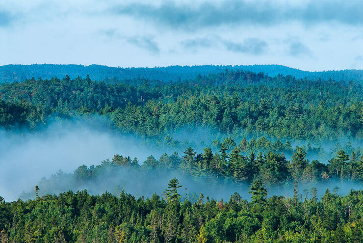
Consider using longer lenses from the trail up to the fire tower for more intimate scenes of the impressive old growth trees. An autumn visit will reward you with lots of mist among the trees, creating a “dawn-of-time” feel to the photographs.

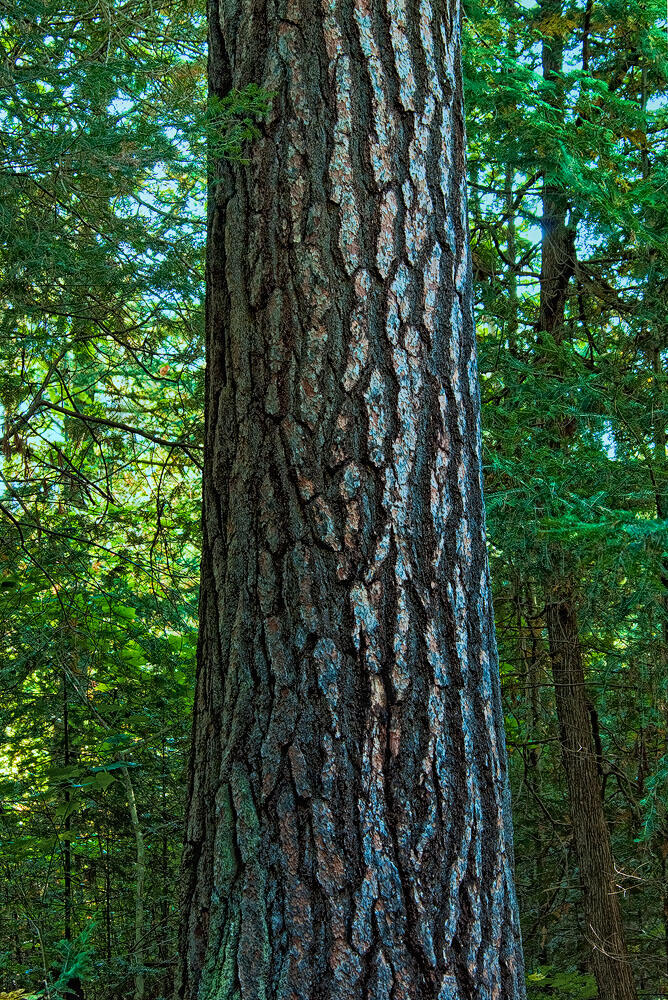
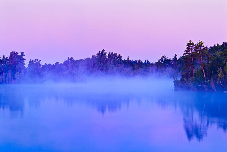
Often considered to be the gateway to the Temagami wilderness, Finlayson Point Provincial Park provides a good location to spend the night prior to journeying onward to North Bay, but we rise early enough to create a few additional photos of pre-dawn light on Lake Temagami.
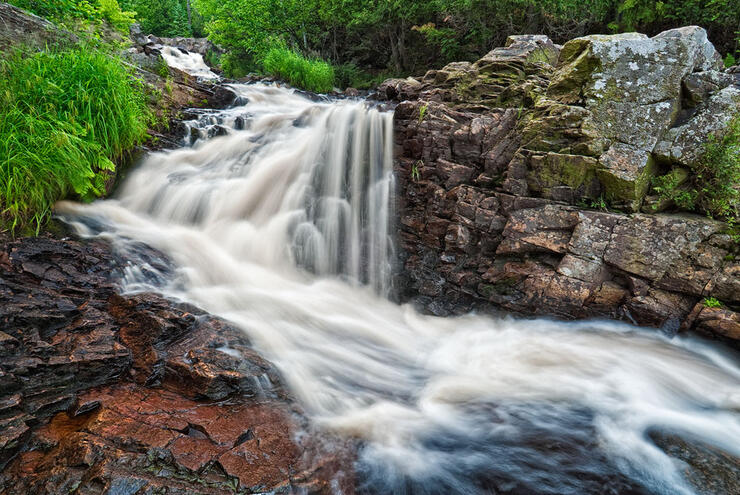
After a good night’s sleep we head out early and travel south to Duchesnay Creek in North Bay. This is a small creek but at the right time of year, when waters run high, the water cascades down a rugged section creating the beautiful and winding Duchesnay Falls. By using a wide-angle lens from a low perspective the ruggedness of the area becomes quite apparent.
Whether you choose to venture out on such an excursion solo or with a travel mate be sure that your vehicle is in tip-top shape and that your tank is full of gas – some of these roadways, especially the Otter Rapids Road, are seldom travelled by others. But the effort is definitely worth the reward. Let others know your travel route and when you are expected to return, and get outside to explore Northeastern Ontario’s vast wilderness!
Recommended Articles
The Seven's Best Hikes, Biking Trails and Lakes

7 Best Spots to Check Out in The Seven

Budget Bliss: Explore Northeastern Ontario Without Breaking the Bank

Bring Your Fam!

Time to Unwind: 6 Spa Havens to Discover In The Seven
5 Amazing Places to SUP in Northeastern Ontario

5 Amazing Bike Rides to Discover

Northern Lights in Northeastern Ontario

Northeastern Ontario's Best Pride Festivals

Fish for one of the World's Rarest Species of Trout

An Insider's Guide to Manitoulin Island

6 Small-Town Gems to Explore in Northeastern Ontario

11 Best Things to Do in Kapuskasing, Ontario


